The Hong Kong Observatory issued a T8 signal, indicating winds of 63 km/h or more, and at one point raised it to the highest level, T10.
Despite the warnings, Go Surf HK, a business offering "ISA-certified professional surf lessons," advertised a promotion for those who signed up for lessons during a T10 warning. However, the company clarified the promotion didn't apply to the July 20 session for safety reasons.
The post read, "Sign up for surf lessons before the T10 signal ends and get a 20% discount. The bigger the waves, the better". An earlier version on Instagram stated, "If you take a lesson during a T10 signal, you'll get a discount".
An instructor from the company posted images and videos claiming to be surfing at Pui O Beach, Lantau Island.
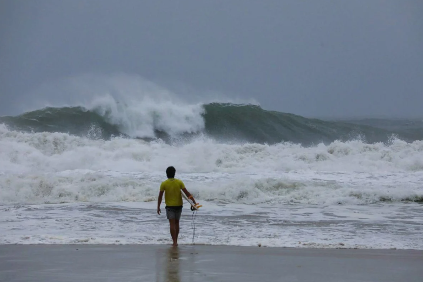 |
A man carries a surfboard at Big Wave Bay as Typhoon Wipha approaches the city. Photo: *Antony Dickson* |
This action immediately drew strong criticism from the online community and surfers. "Surfing during a T10 warning is absolute madness," one local surfer commented. "It shows complete disrespect for the power of the ocean. With current government pressure to ban surfing, this adds further strain on those who enjoy and teach surfing responsibly."
On the morning of 20/7, the Hong Kong Observatory issued a T10 signal, warning that the typhoon posed "a considerable threat" to the city as it would pass about 50 km to the south around midday.
A T10 signal, the highest warning level, means winds of 118 km/h or more are expected. The last T10 signal in Hong Kong was in 2023 during Super Typhoon Saola, which injured 86 people, caused landslides, and felled thousands of trees.
Another local surfer said, "The storm was too close to land and the coast, so waves and wind could change suddenly. Things can escalate quickly; waves and wind can become frantic. Ideally, you can surf if it's a storm out in the ocean, passing about 600 km from land, with maximum wind speeds of 120 to 160 km/h."
 |
Two people take pictures by the Tsim Sha Tsui waterfront after the T10 warning. Photo: *SCMP* |
At 10 PM on 21/7, Hanoi time, the National Center for Hydro-Meteorological Forecasting reported Typhoon Wipha was 80 km from Quang Ninh, 180 km from Hai Phong, 190 km from Hung Yen, and 220 km from Ninh Binh. Winds near the storm's center reached 102 km/h (level 10), with gusts up to level 13, moving west-southwest at about 10 km/h.
By 10 AM on 22/7, the typhoon was forecast to be over the Quang Ninh - Ninh Binh sea area, with winds reaching level 11 and gusts up to level 14. It was then expected to make landfall between Hai Phong and Thanh Hoa, with winds decreasing to level 8 and gusts to level 10 by 10 PM.
Hong Duy (*SCMP*)