China's meteorological authority predicts heavy to very heavy rain in parts of Guangdong and Hainan provinces in southern China on 21/7. The National Flood Control and Drought Relief Headquarters raised the emergency response for Typhoon Wipha to level III in these two provinces on the evening of 20/7.
China's four-tier emergency response system designates level I as the most severe. In Guangxi Zhuang Autonomous Region, authorities maintained a level IV emergency response.
Central authorities have also sent relief supplies to Guangdong and Hainan, including 33,000 items such as folding beds, blankets, and lamps.
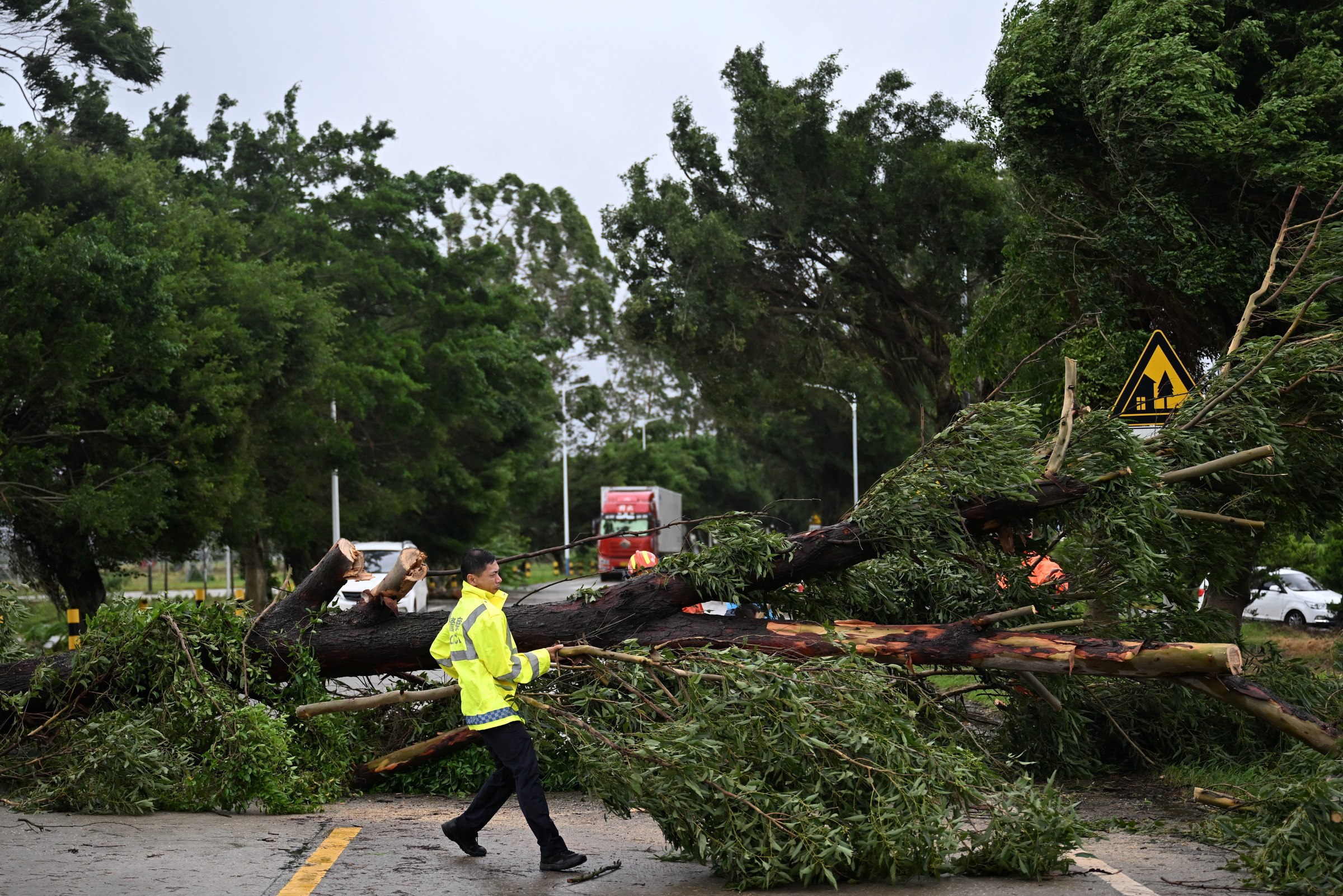 |
A fallen tree after Typhoon Wipha made landfall in Guangdong province, China, on 20/7. Photo: Reuters |
A fallen tree after Typhoon Wipha made landfall in Guangdong province, China, on 20/7. Photo: Reuters
Typhoon Wipha swept across the coast of Guangdong province in southern China on the evening of 20/7, disrupting business operations and forcing school closures.
According to the National Center for Hydro-Meteorological Forecasting, at 7 a.m. today, the center of Typhoon Wipha was located over the northern area of China's Leizhou Peninsula, about 220 km east of Quang Ninh - Hai Phong. Maximum sustained winds reached 88 km/h, equivalent to level 9, with gusts up to level 11. The typhoon is moving west-southwest at 15-20 km/h.
It is forecast that by 7 a.m. on 22/7, the typhoon will intensify to levels 10-11, with gusts up to level 14, when it is over the northern area of the Gulf of Tonkin and has the potential to strengthen further. Afterward, the typhoon will make landfall in the provinces from Thanh Hoa to Nghe An and weaken into a low-pressure area over northern Laos.
Ngoc Anh (Xinhua, Global Times, Reuters)