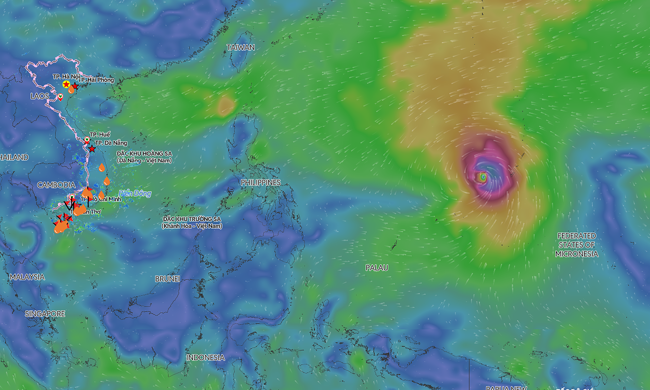
The National Center for Hydro-Meteorological Forecasting reported that the storm is currently moving northeast at approximately 15 km/h. Forecasts indicate that by 7 am tomorrow, the typhoon will maintain its intensity over the northeastern north east sea, with its speed decreasing to 5-10 km/h.
By 7 am on 4/9, the typhoon is expected to turn west, moving at 5-10 km/h, positioned over the coastal area of southeastern Guangdong province, China. Following this, it will move further inland into China and gradually weaken.
Both Japanese and Hong Kong meteorological agencies predict the typhoon will maintain wind speeds of 65 km/h as it approaches Taiwan, China, before turning back towards the Guangdong region.
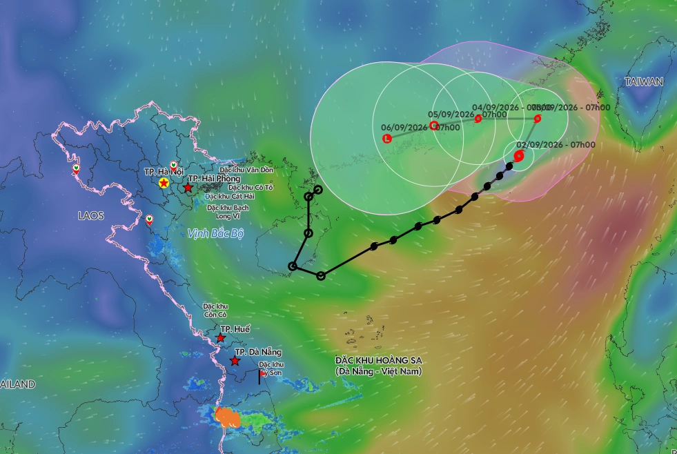 |
Forecast track of typhoon Saudel. *Photo: Disaster Monitoring System* |
Due to the typhoon's influence, the northeastern north east sea will experience strong winds of levels 6-7, with gusts reaching levels 8-9, and waves 3-5 m high. Areas near the typhoon's eye will have powerful winds of level 8, gusting to level 10, and waves 4-6 m high. Vessels operating in these hazardous zones face potential impacts from thunderstorms, whirlwinds, strong winds, and large waves.
Typhoon Saudel originated from a weakened low-pressure area, a remnant of a similarly named storm that previously operated in the northwestern Pacific ocean. This earlier storm passed through China before moving to the sea east of the Leizhou peninsula. On 31/8, the system intensified into a tropical depression, becoming the fifth storm in the East Sea on the morning of 1/9. Such a regeneration of a typhoon like Saudel is a rare occurrence.
Earlier, in late august, typhoon Narra brought heavy rain, thunderstorms, and lightning to many northern and north central provinces, resulting in three fatalities and three injuries. two homes completely collapsed, 1,329 houses sustained damage or had their roofs blown off, and tens of thousands of homes were flooded.
Gia Chinh