Vietmap's navigation and traffic alert app has incorporated Vietnam's new administrative units following the National Assembly's resolution on restructuring provincial, district, and communal levels. The update, released on 1/7 for both iOS and Android, includes information on the 34 newly designated provinces and cities, along with over 3,300 communes, wards, and towns after the merger.
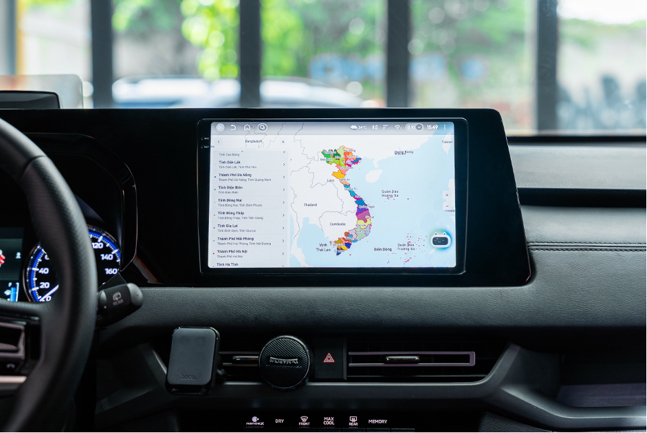 |
The Vietmap Live app on a car displays the 34 provinces and cities after the merger. Photo: Vietmap |
The Vietmap Live app on a car displays the 34 provinces and cities after the merger. Photo: Vietmap
A Vietmap representative stated that this update accurately reflects the administrative boundary changes. The app also displays both the old and new place names to help users adjust to the changes.
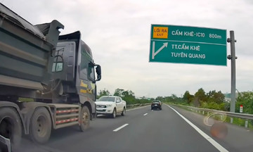
Vietmap Live is a navigation app with weekly traffic data updates. Thanks to its professional team and advanced technology, the app regularly updates changes in road infrastructure, signs, traffic flow, and speed limits. It also provides alerts for no-parking zones, speed cameras, residential areas, and speed limits to enhance driver safety.
 |
Users can easily switch between the old and new administrative maps. Photo: Vietmap |
Users can easily switch between the old and new administrative maps. Photo: Vietmap
Vietmap's representative shared their vision of building a smart and user-friendly traffic assistant for Vietnamese drivers. "Vietmap Live will continue to monitor all changes related to infrastructure, traffic, and administration to ensure the map data is updated promptly and accurately. The company is also applying artificial intelligence to automate the update process," the representative said.
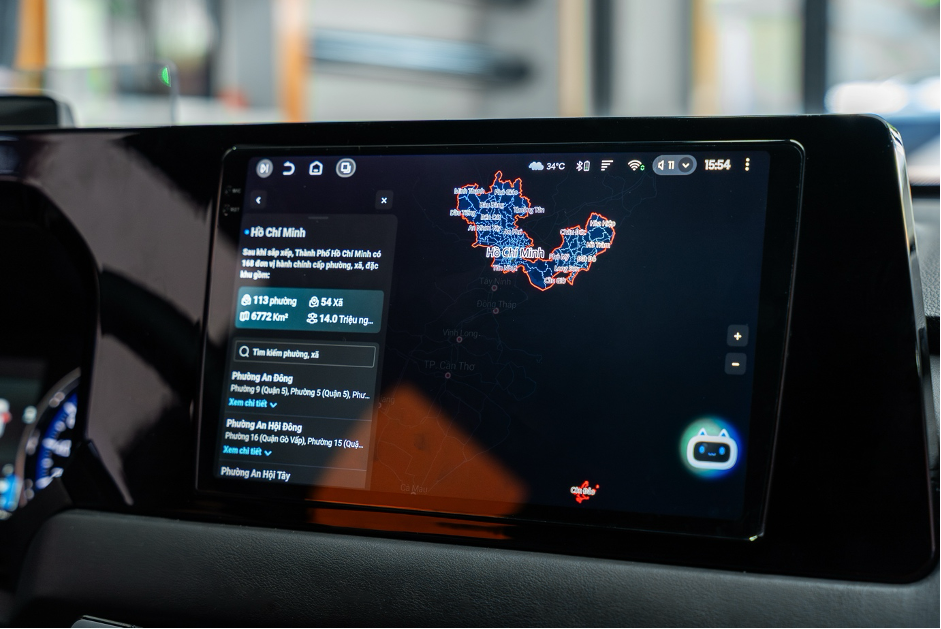 |
The app displays the new boundaries in TP HCM. Photo: Vietmap |
The app displays the new boundaries in TP HCM. Photo: Vietmap
With weekly data updates, Vietmap Live promises to offer convenience in searching and navigating, contributing to a safer and more civilized driving community.
Quang Anh