The Ministry of Agriculture and Environment recently issued a decision announcing and guiding the connection for accessing and utilizing data from land use right certificates and ownership rights of assets attached to land. This data will replace traditional paper documents in administrative procedures.
Under this decision, information from land use right certificates, commonly known as "so do" (red books), which are stored in the national land database, will be eligible for access and use. This digital data will replace paper documents typically required for administrative procedures.
The digital "so do" will share specific details, including: the name of the land user or asset owner, and their identification number. Information related to the land parcel will encompass: the land parcel identification code, parcel number, map sheet, area, land type, land use term, form and origin of land use, and the land parcel's address.
Details about assets attached to the land will also be available, such as: the asset's name, area of use, term of ownership, form of ownership, and asset address. Additional shared information will include: notes, mortgage registrations, the certificate issuance number, certificate issuance date, and the certificate information in PDF format.
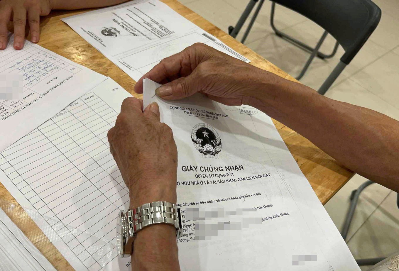 |
Citizens submitted photocopies of "so do" during the land data enrichment and refinement process. Photo: Linh Dan |
The Ministry of Agriculture and Environment mandates that data access and sharing must strictly comply with regulations concerning information security, intellectual property rights related to the data, and personal privacy. All relevant entities must also adhere to technical guidelines for data exchange and principles governing the management, connection, and sharing of digital data among agencies within the political system.
Presently, the VNeID application's latest update has integrated the "Land use right certificate, ownership of houses and other assets attached to land" feature.
Prior to this, the Ministry of Agriculture and Environment, in collaboration with the Ministry of Public Security, launched a 90-day intensive campaign to enrich and refine the national land database. Once the land database becomes accurate and comprehensive, transactions can be conducted directly online. Information concerning land use rights and asset ownership is subsequently digitized and integrated into VNeID for public access and verification.
As of 12/2025, following the land data refinement process, over 69,7 million land parcels have been assigned identification codes. This total comprises parcels for which databases have been established, those that have been cadastrally mapped, and parcels that have undergone cadastral surveying.