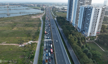
The route traverses 18 wards and communes in Hanoi. Its starting point connects to ring road 1 at Kim Lien tunnel, situated in Kim Lien and Bach Mai wards. Its end point links with Cau Gie interchange in Chuyen My commune.
The project features a 90 m cross-section with 16 lanes, comprising 10 main lanes and six service lanes (three on each side). The designed speed is 80 km/h. The city expects to largely complete the work by 2027 to finalize the road transport network, aligning with the 100-year vision Capital Master Plan.
According to the design, the project integrates many modern technologies from surveying and design to construction and operation. Surveys are conducted using unmanned aerial vehicles (UAVs) and aerial photography. Design utilizes 3D modeling. Construction employs new materials and technological equipment. The entire construction process will be monitored via an online imaging system.
Upon commissioning, the route will operate on a smart traffic platform with supervisory control and data acquisition (SCADA) systems, closed-circuit television (CCTV), and international standard management solutions.
Hanoi city assesses that the project will expand traffic space and increase connectivity speed. This contributes to traffic redistribution between ring roads and urban areas, enhancing connectivity between the central core and southern Hanoi, as well as southern provinces and coastal regions.
The project is also expected to promote urban renovation and redevelopment along national route 1, reduce logistics costs, and create new development spaces at the southern gateway to the capital.
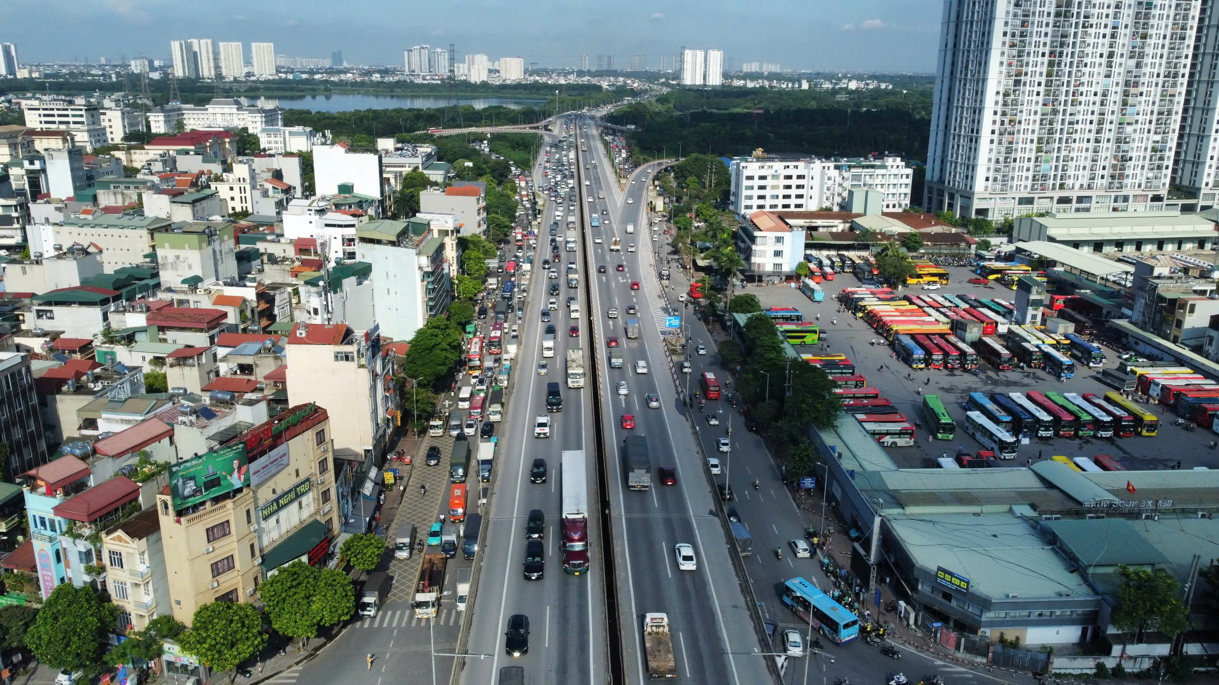 |
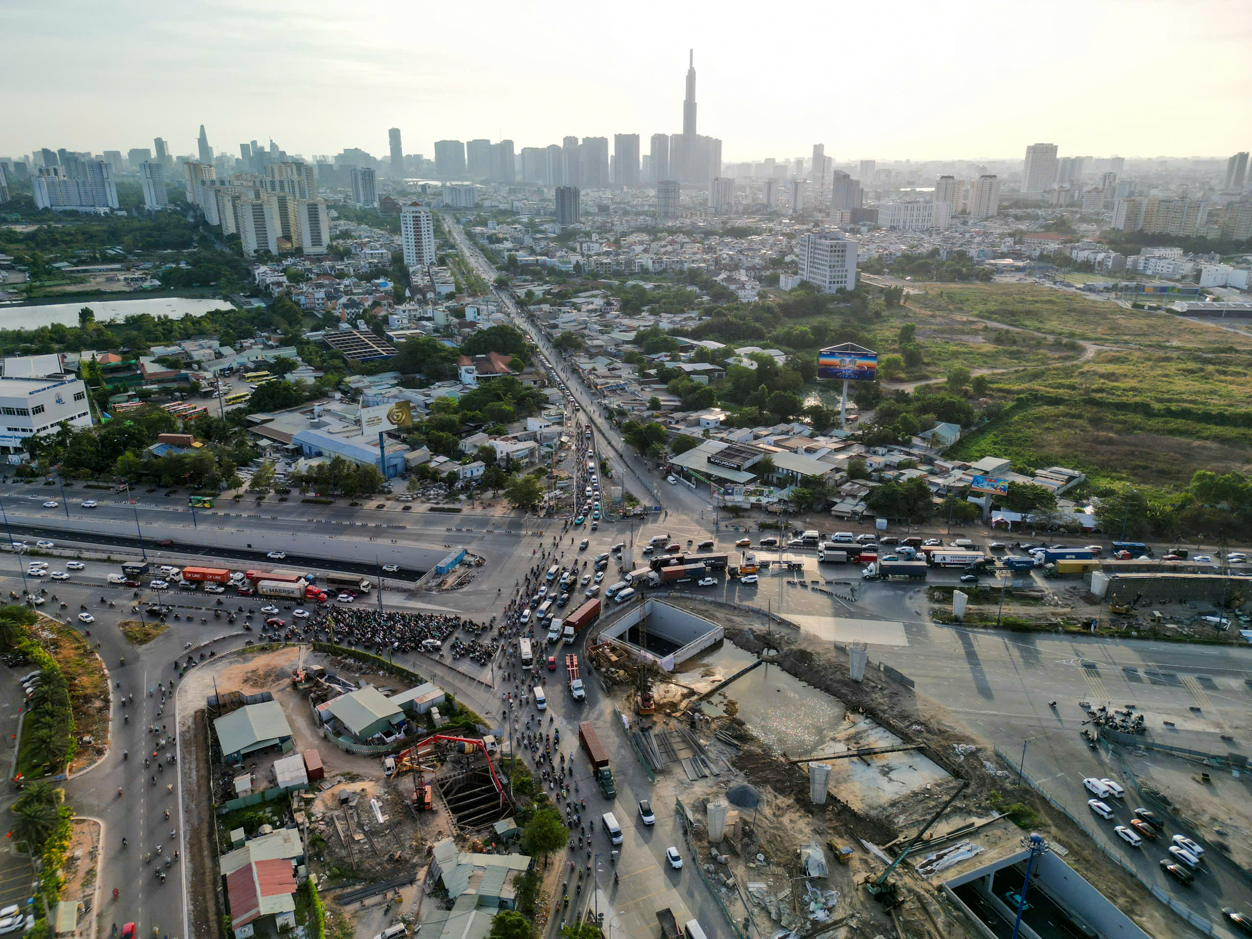
Giai Phong road (national route 1) section passing Nuoc Ngam bus station, Hanoi. Photo: Pham Chieu
In the national development plan, the national route 1 - Phap Van - Cau Gie expressway axis is identified as a key economic corridor. It connects Hanoi with southern provinces and coastal regions, focusing on developing supporting industries, logistics, and multimodal transport.
The section from ring road 1 to Cau Gie interchange is the initial phase of the overall national route 1 spatial axis project, linked with urban renovation and redevelopment in Hanoi. This phase was proposed by Vingroup Group for investment under a public-private partnership (PPP) model, specifically a build-transfer (BT) contract.
In the next phase, the two parties will study extending the route from Le Duan - Dien Bien Phu interchange in Ba Dinh ward to Dai Co Viet road. This will increase the total length of the entire route to about 38,8 km, connecting the capital's historic center with the city's southern development area.
Doan Loan