According to the master plan for Hanoi Capital, which envisions a 100-year future, the railway system is identified as central infrastructure. It aims to reorganize traffic, expand urban space, and connect the capital region. The total length of Hanoi's railway system will reach nearly 1,200 km, making it the largest scale ever designed for the capital, including approximately 979 km for the urban rail and mass public transit network.
The network is planned following a "ring-radial-multi-level" model. This comprehensive system integrates national, inter-regional, and urban railways, ensuring seamless connectivity. These lines will not only link the inner city with satellite cities but also extend to Bac Ninh, Hung Yen, Phu Tho, Ninh Binh, Thai Nguyen, and other localities in the Red River Delta.
Urban rail is set to become the predominant transport framework, guiding a multi-polar, multi-center urban development model. This approach is built on the foundation of transit-oriented development (TOD), which integrates urban planning with public transportation. Some sections are also being considered for dual-use purposes, serving both national defense and civil defense needs.
High-speed and national railways will serve as radial transport axes, connecting Hanoi with various regions nationwide and internationally. The Ngoc Hoi station complex, located south of the capital, is designated as the largest intermodal hub. It will integrate a station, depot, and maintenance center.
Inter-regional railway lines are designed to connect central Hanoi with key growth poles, industrial parks, logistics centers, new urban areas, and strategic infrastructure hubs. This will follow a combined model of radial and ring routes.
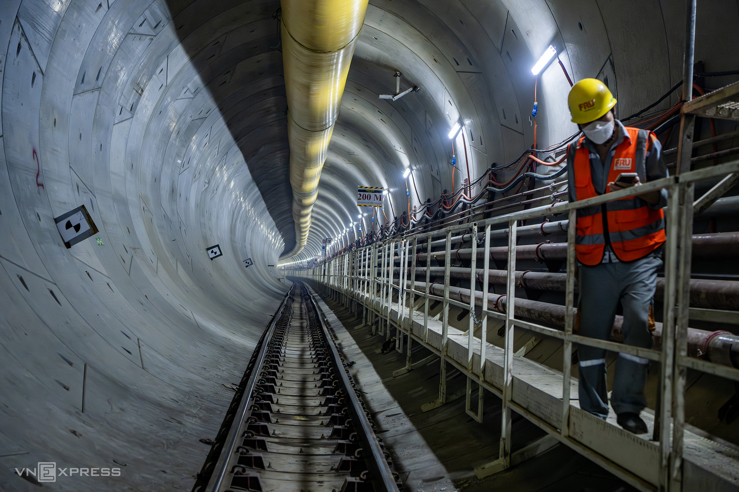 |
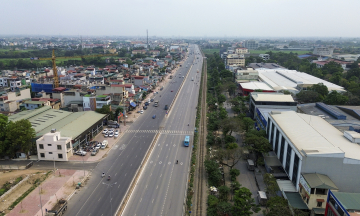
Nhon - Hanoi Station metro tunnel. _Giang Huy |
Fast urban rail lines will form high-speed radial axes, directly linking new development areas with the central city. This will significantly reduce travel times across the expanded urban region. The mass public transit urban rail system and light rail are arranged to combine radial routes with ring routes, enhancing network coverage.
This planning also emphasizes the "ring-radial" spatial principle with two major ring lines, incorporating the TOD model. This approach aims to reorganize urban space into multi-center areas with dynamic development axes. TOD zones will emerge around stations and major transport hubs, creating high-density, multi-functional urban centers where residents can live, work, and access services conveniently near public transport.
The TOD network is classified into multiple tiers: about 5-10 points at the national or regional level; approximately 20-30 large-scale TOD centers at the city level; and about 120-150 regional TOD points along urban rail lines.
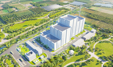
Hanoi also aims to localize railway technology by establishing a railway industrial complex. This complex, spanning about 250 ha in the southern area of Chuyen My and Ung Hoa communes, is expected to handle the production, assembly, and maintenance of locomotives and rolling stock.
By 2035, Hanoi plans to research and develop an investment strategy for about 500 km of urban rail. Priority will be given to line one, running from Noi Bai through Hanoi Station to Ngoc Hoi. In the 2036-2045 period, the city will complete the remaining approximately 479 km to fully cover the network.
Son Ha