"The concept of 'an dan' (people's safety) must be central to the 100-year plan, minimizing the risk of large-scale population displacement due to flooding and climate change," architect Ngo Viet Nam Son stated at a workshop on 2/6. The event, organized by the City People's Council, gathered feedback on Ho Chi Minh City's master plan.
This workshop marked the city's initial scientific forum in developing its comprehensive master plan. The plan aims for green, sustainable development that is adaptive to climate change.
 |
Architect Ngo Viet Nam Son speaking at the workshop. Photo: An Phuong |
According to Son, the city needs to develop in a way that minimizes the risk of future displacement due to flooding, sea-level rise, and extreme climate impacts. High-density development should prioritize elevated areas, such as Cu Chi and the northern part of the city. This approach avoids further population pressure on low-lying southern areas, which are vulnerable to tidal surges and rising sea levels.
"This is not merely a spatial planning decision but a climate adaptation strategy for many generations to come," he said. Son emphasized that a 100-year vision does not mean designing a fixed future city, but rather ensuring future generations retain room for development.
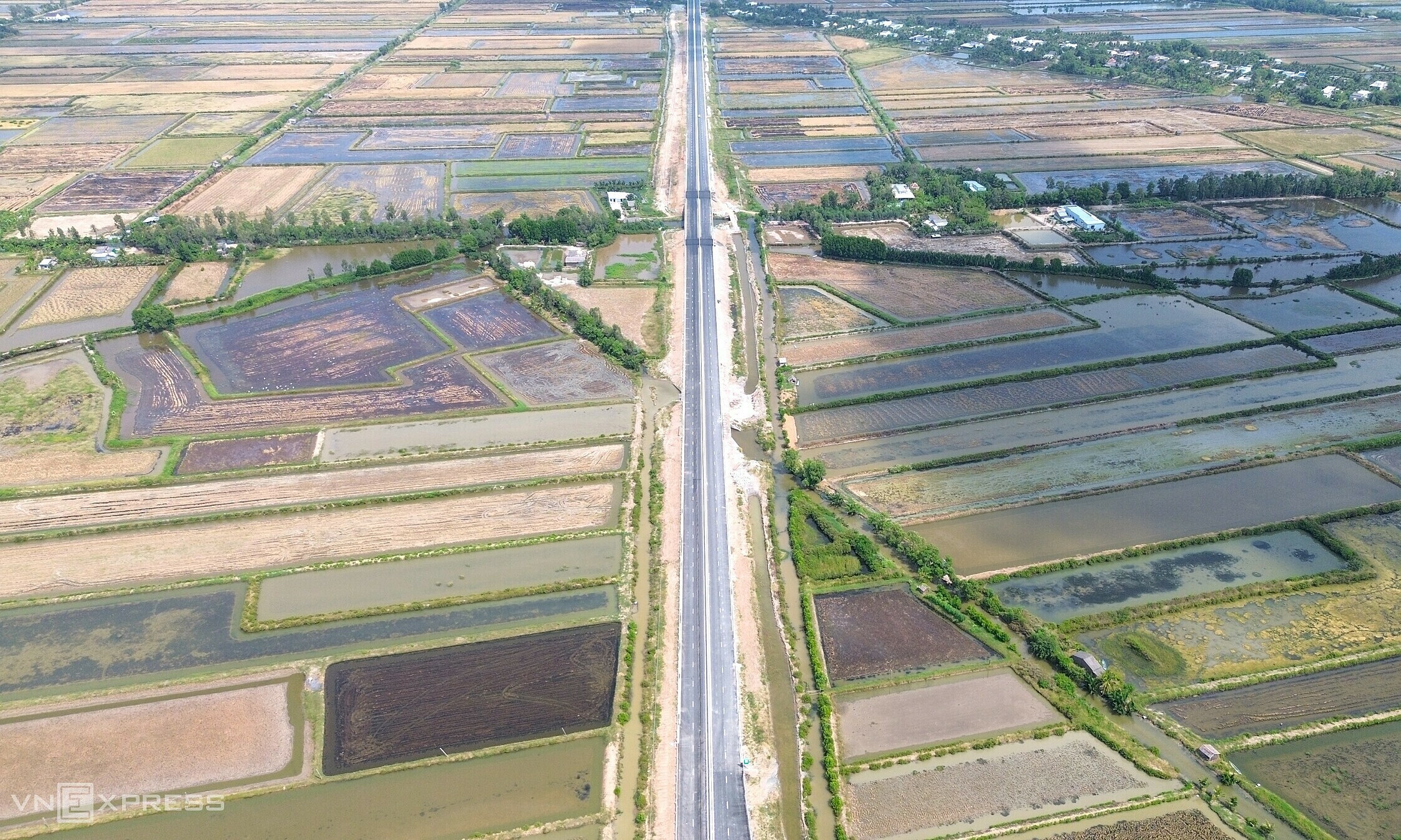
Following its merger with Binh Duong and Ba Ria - Vung Tau, Ho Chi Minh City became a "coastal megacity" spanning over 6,700 km2 with more than 300 km of coastline. However, a research group from Vietnam National University Ho Chi Minh City noted that the city faces increasing urban ecological challenges due to the combined effects of flooding, subsidence, and climate change.
Studies reveal that over 90% of natural wetlands have disappeared since 1990 because of urbanization. Concurrently, the city's ground is subsiding by an average of 8 mm annually due to excessive groundwater extraction. River levels also rise by 0,4-0,9 cm each year, influenced by tidal surges.
Citing climate change scenarios from the Ministry of Agriculture and Environment, Dr. Bui Thi Minh Ha from the University of Social Sciences and Humanities, Ho Chi Minh City, indicated that many low-lying coastal areas face risks of frequent or even permanent inundation. Sea levels are projected to rise by approximately 33 cm by 2050, 45 cm by 2070, and nearly one meter by the end of the century.
Ho Chi Minh City is among the localities most severely affected, with about 17,8% of its area at risk of flooding. A 2022 survey also showed that 30% of residents perceived flooding in their living areas as more severe compared to 5 years prior.
According to Dr. Ha, the megacity's population could reach 20-30 million people by 2050. At that point, adapting to sea-level rise and managing flood risk will be among the city's greatest challenges.
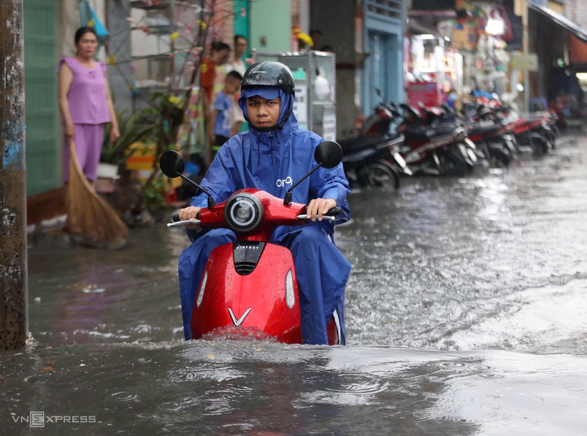 |
Rain floods over half a wheel on Truong Van Ngu street, former Thu Duc City, on the afternoon of 2/5. Photo: Quynh Tran |
From a planning perspective, Nguyen Do Dung, an expert from enCity, proposed that Ho Chi Minh City develop using a "four adaptive zones" model instead of applying a single anti-flooding solution across the entire urban area. These zones include: a safe zone, a protected zone, an adaptive zone, and an ecological zone.
He explained that safe zones are high-elevation areas designed to concentrate green infrastructure for onsite rainwater retention. Protected zones comprise highly urbanized but low-lying areas, which require maintaining canal systems, regulating lakes, and water control corridors.
Ecological zones, such as wetlands and mangrove forests, should serve as "green shields," preserving ecosystems while enhancing natural water storage capacity.
For low-lying areas that are difficult to protect entirely with dikes or hard infrastructure, Dung proposed an "urban wetland" model. This approach allows development to coexist with water rather than attempting to eliminate it. Residential areas can be constructed as "urban islands," with foundations raised to varying elevations to adapt to rising water levels.
Le Tuyet