

 |
 |
Construction of Quang Tri Citadel spanned 28 years (1809-1837), from the reign of Gia Long to Minh Mang. During the Republic of Vietnam era, it was renamed Dinh Cong Trang Citadel.
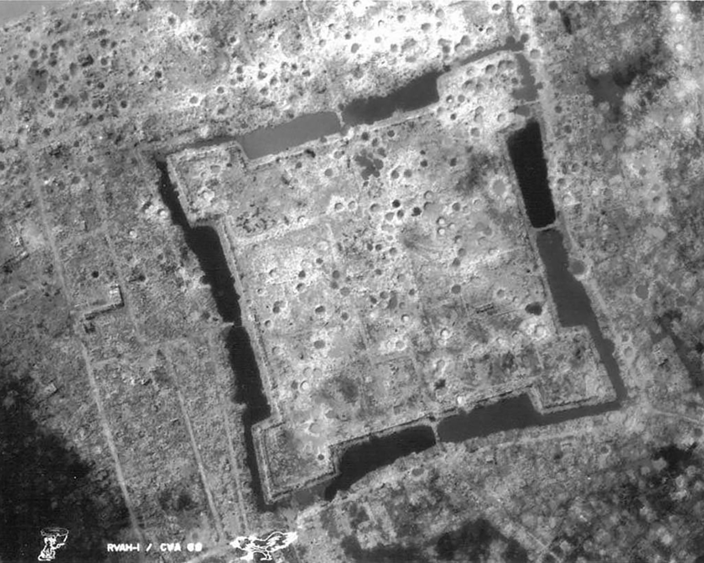
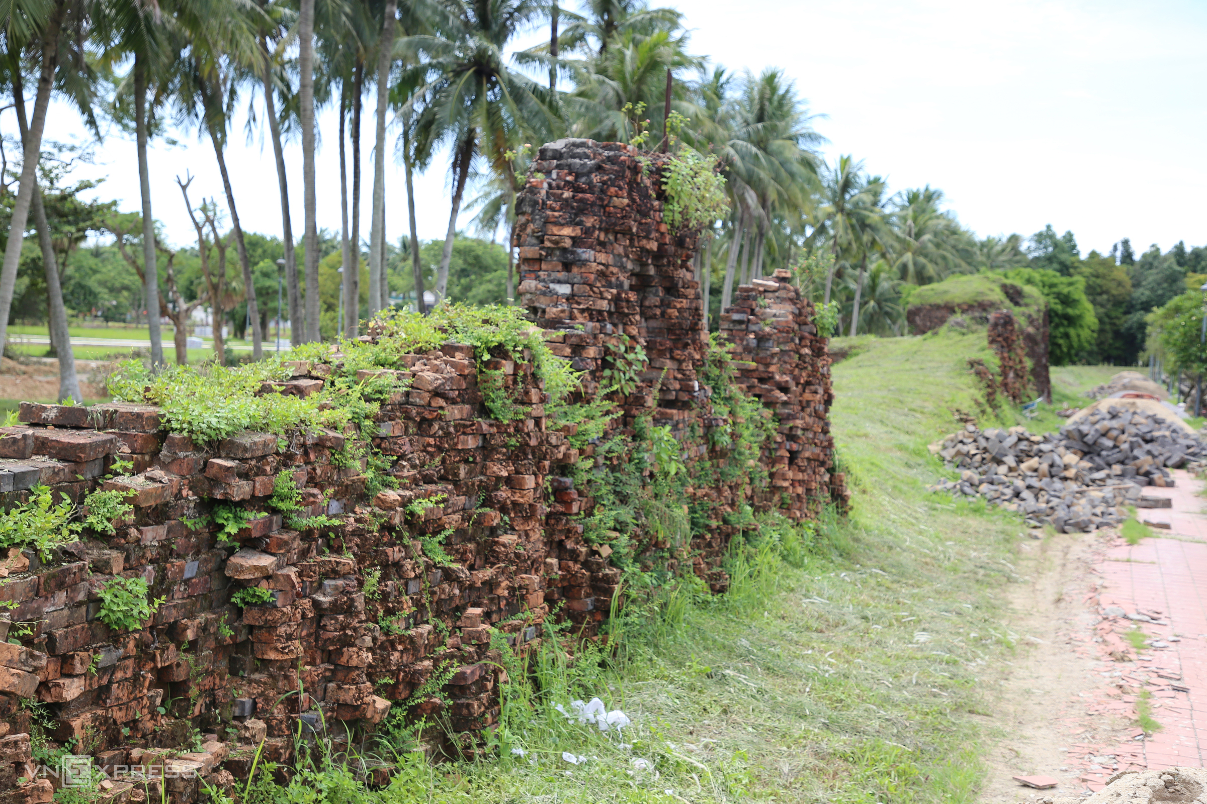
The 81-day battle of 1972 devastated Quang Tri Citadel. Only sections of the scarred brick walls and the front and rear gates remained standing. Today, the area surrounding the citadel is densely populated. Photo: US Navy
 |
 |
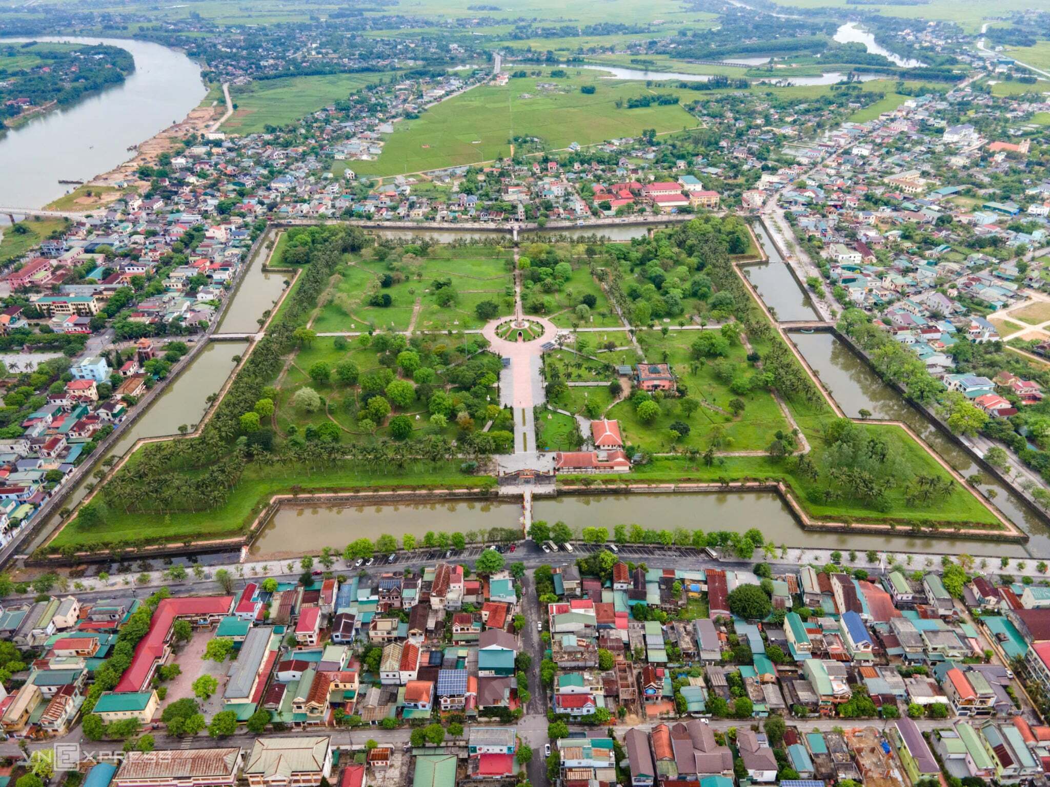
The square-shaped citadel, with each side measuring 500 m, was surrounded by an 18 m wide and 3 m deep moat for defensive purposes. The total area of the citadel is 18.5 ha, and it has four gates.
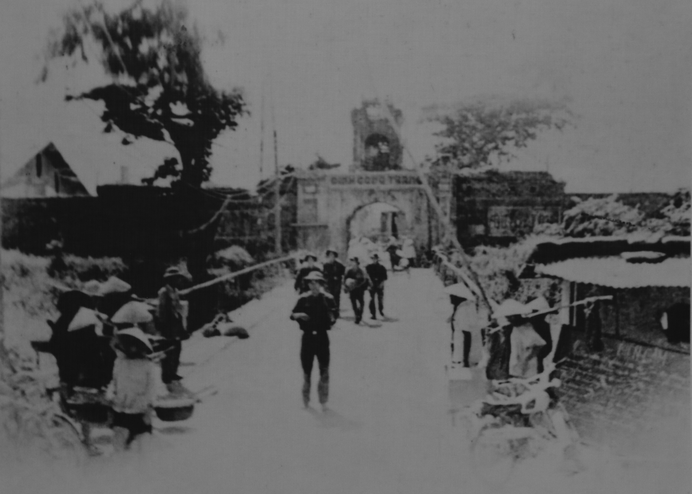
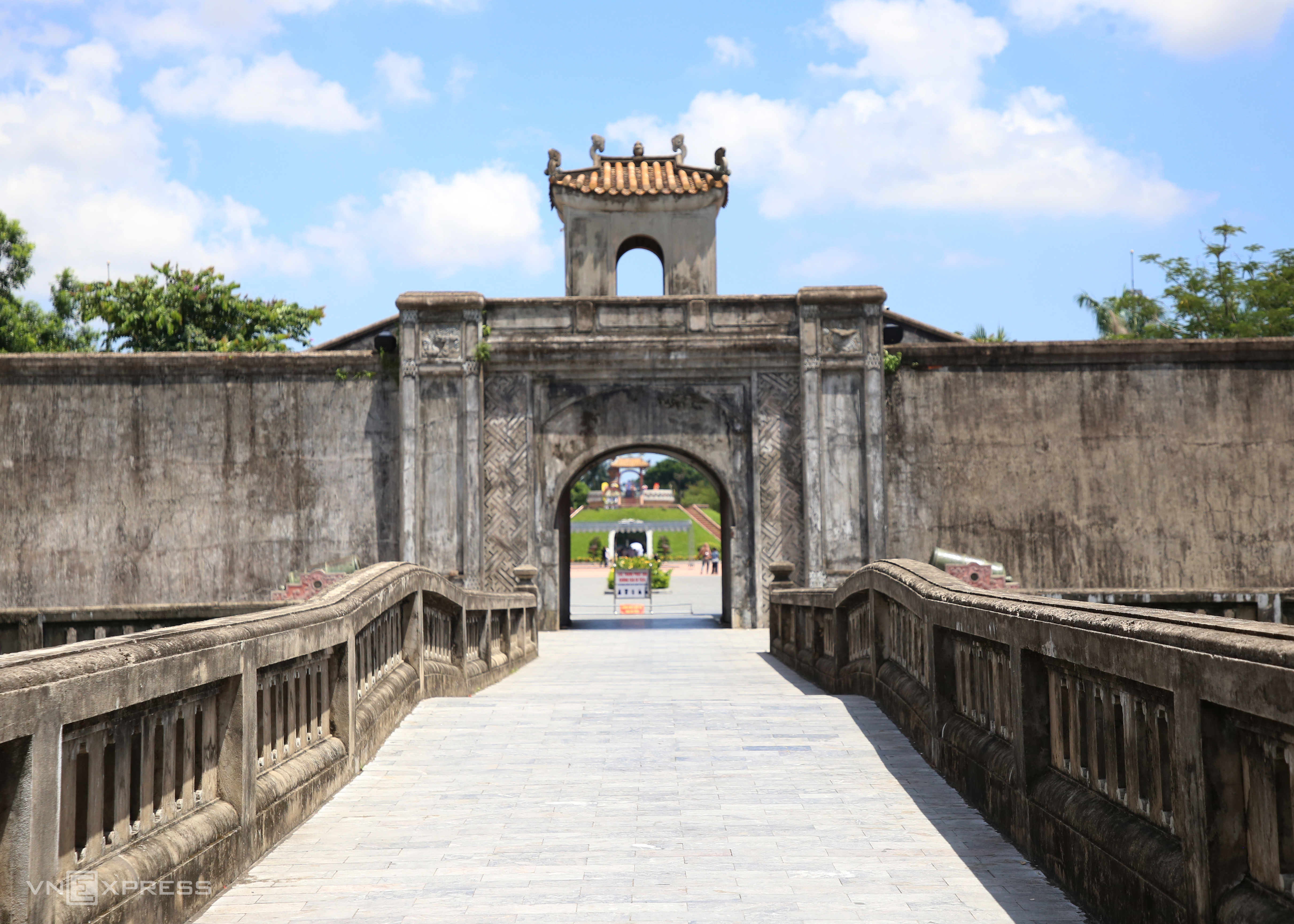
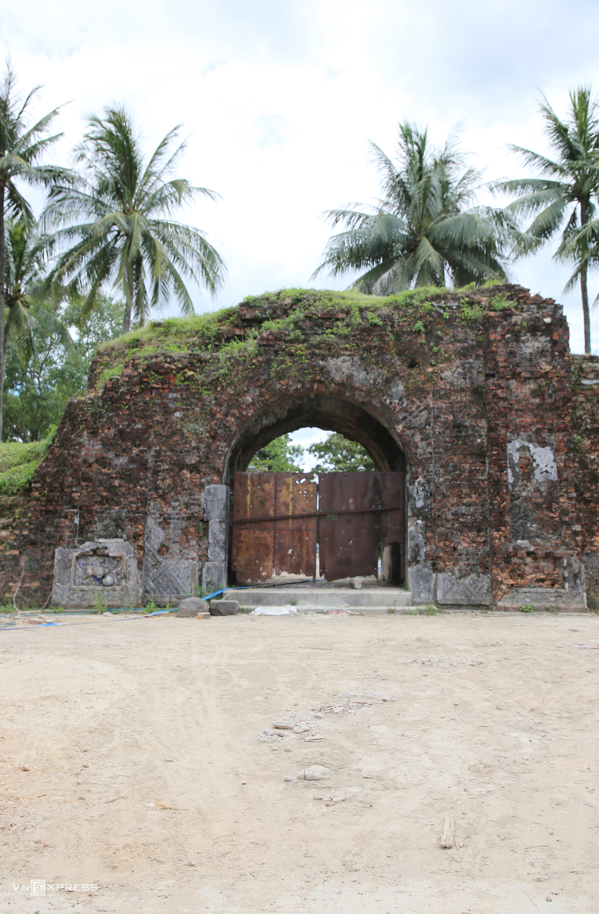
The images depict the main south gate before the 81-day battle and the gate as it appears today. In 2013, the Prime Minister recognized Quang Tri Citadel as a special national relic.
 |
 |
Following the Geneva Accords on 20/7/1954, the 17th parallel became the temporary dividing line between North and South Vietnam. Quang Tri town was a key defensive position for the Republic of Vietnam.
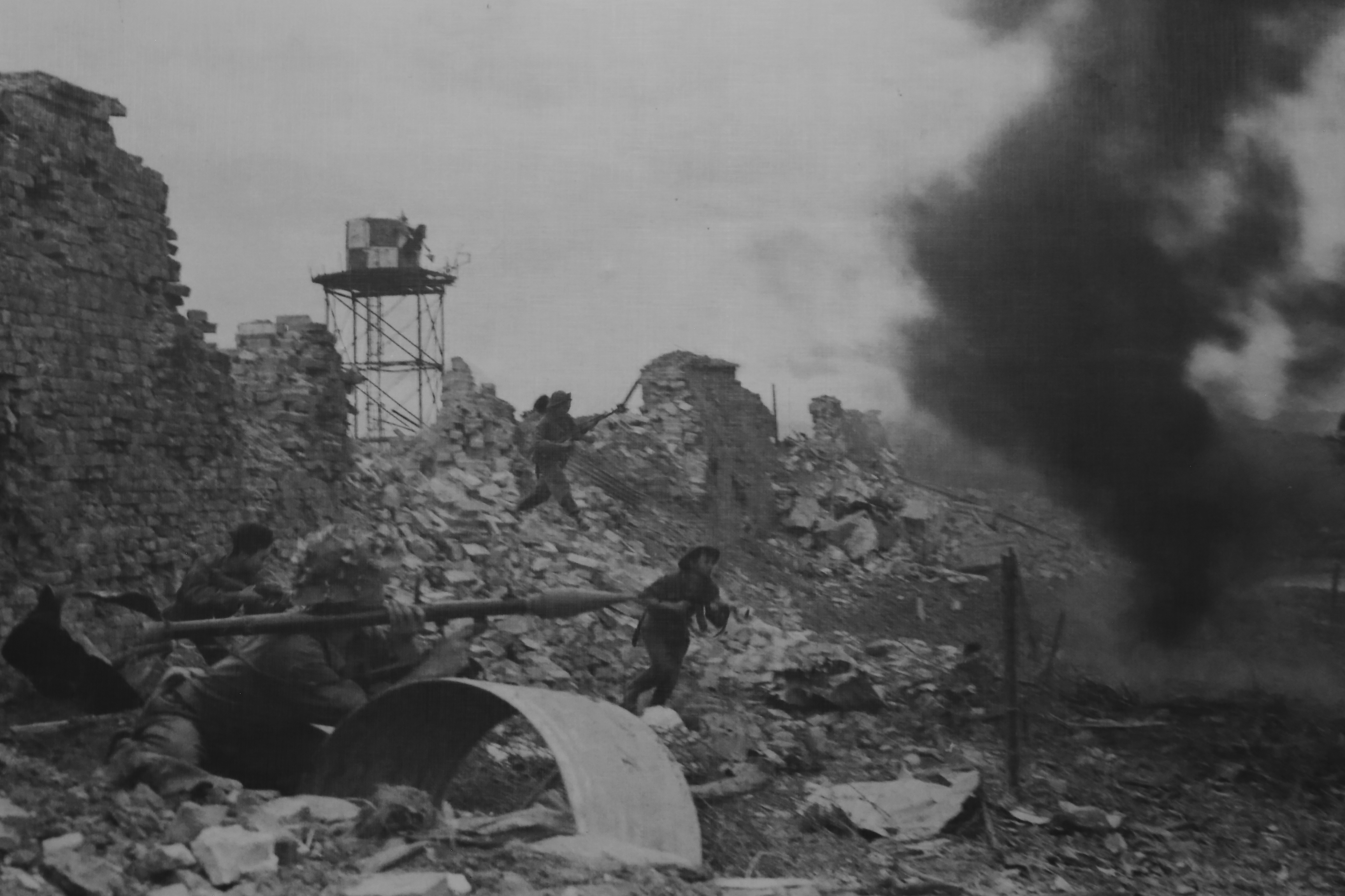
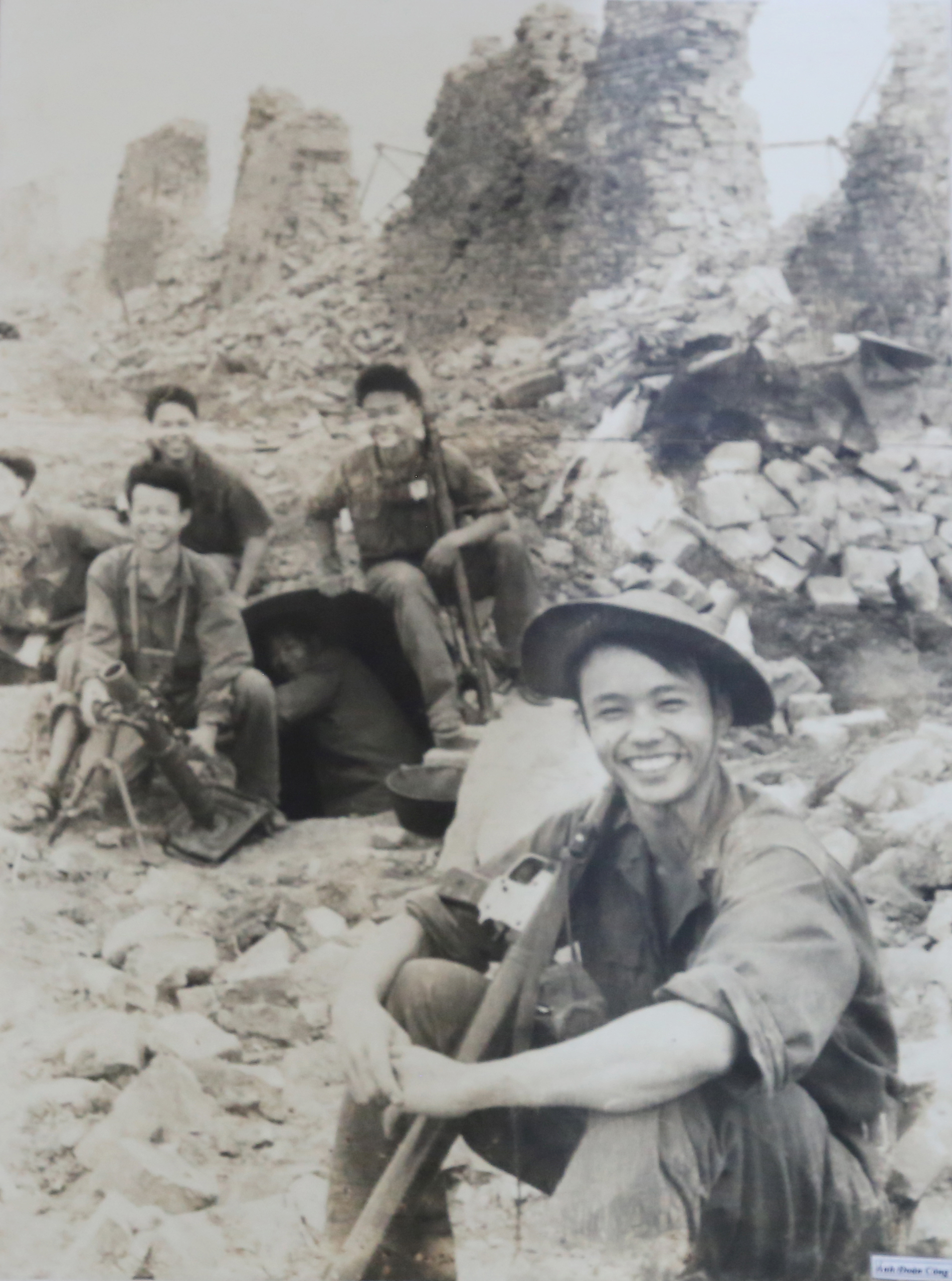
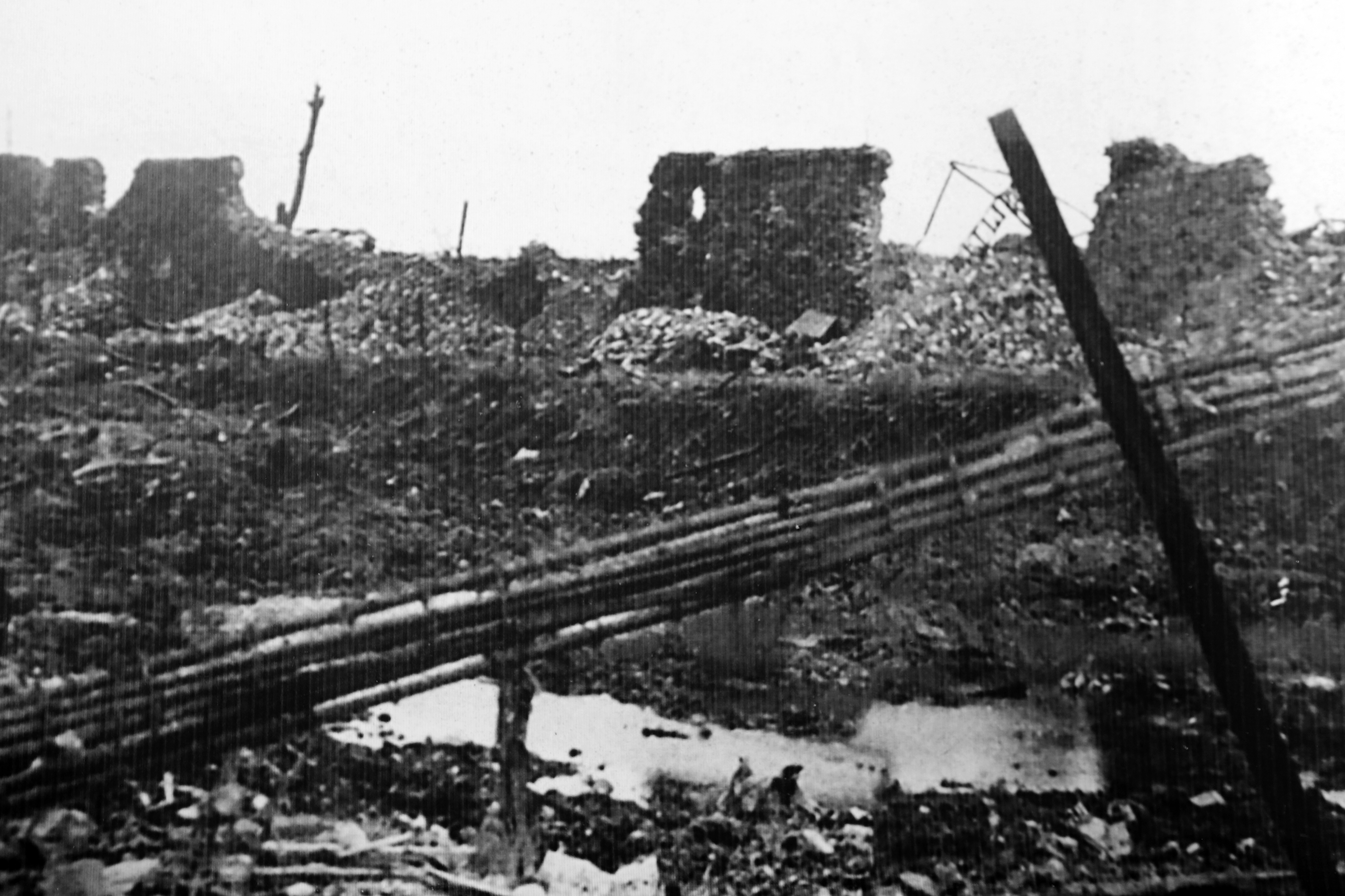
During the spring-summer offensive of 1972, the People's Army of Vietnam (PAVN) captured Quang Tri province. On the morning of 28/6/1972, the Republic of Vietnam, backed by the US, launched a counter-offensive, codenamed "Lam Son 72", to retake Quang Tri. The photo shows PAVN soldiers fighting near a destroyed section of the citadel wall.
 |
 |
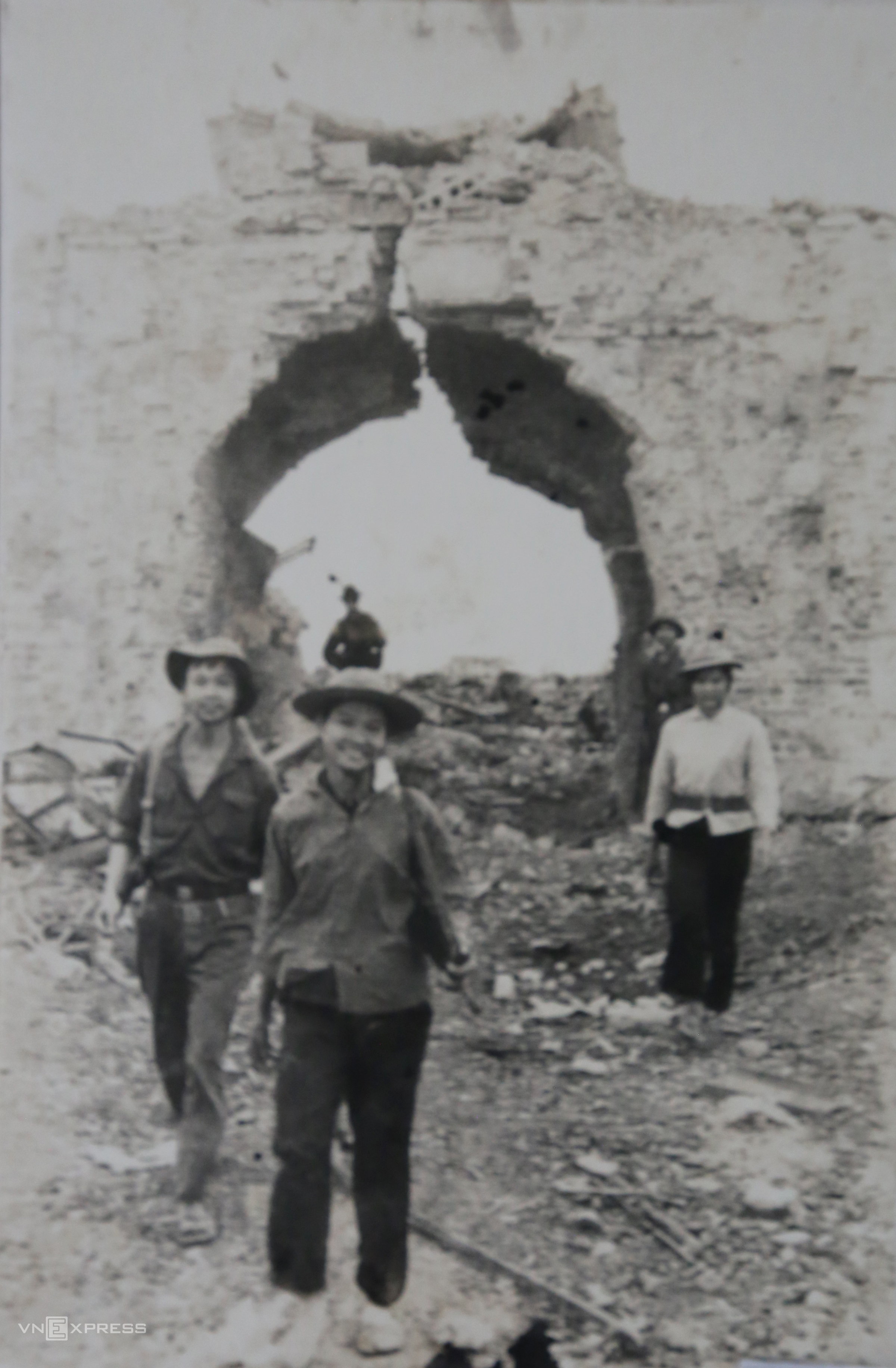
Guerrilla Phan Thi Le from Trieu Thuong commune, a village near Quang Tri town, poses with her comrades at the north rear gate of Quang Tri Citadel. The rear gate was once severely damaged, with the ground deeply cratered. The gateposts remain, and the ground in front has been leveled.
 |
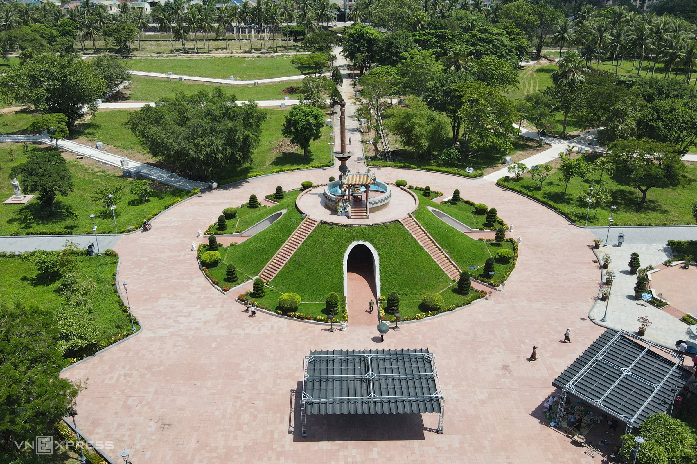 |
Since 1992, the citadel has undergone several phases of restoration, including the construction of a central memorial, a museum, the front gate, and a bridge over the moat.
The central memorial at Quang Tri Citadel symbolizes a mass grave. The collective tomb, with its 8.1 m high red lamp representing the 81 days and nights of battle, is likened to a "lamp of destiny," gently guiding the souls of the fallen from the underworld to eternity.
 |
 |
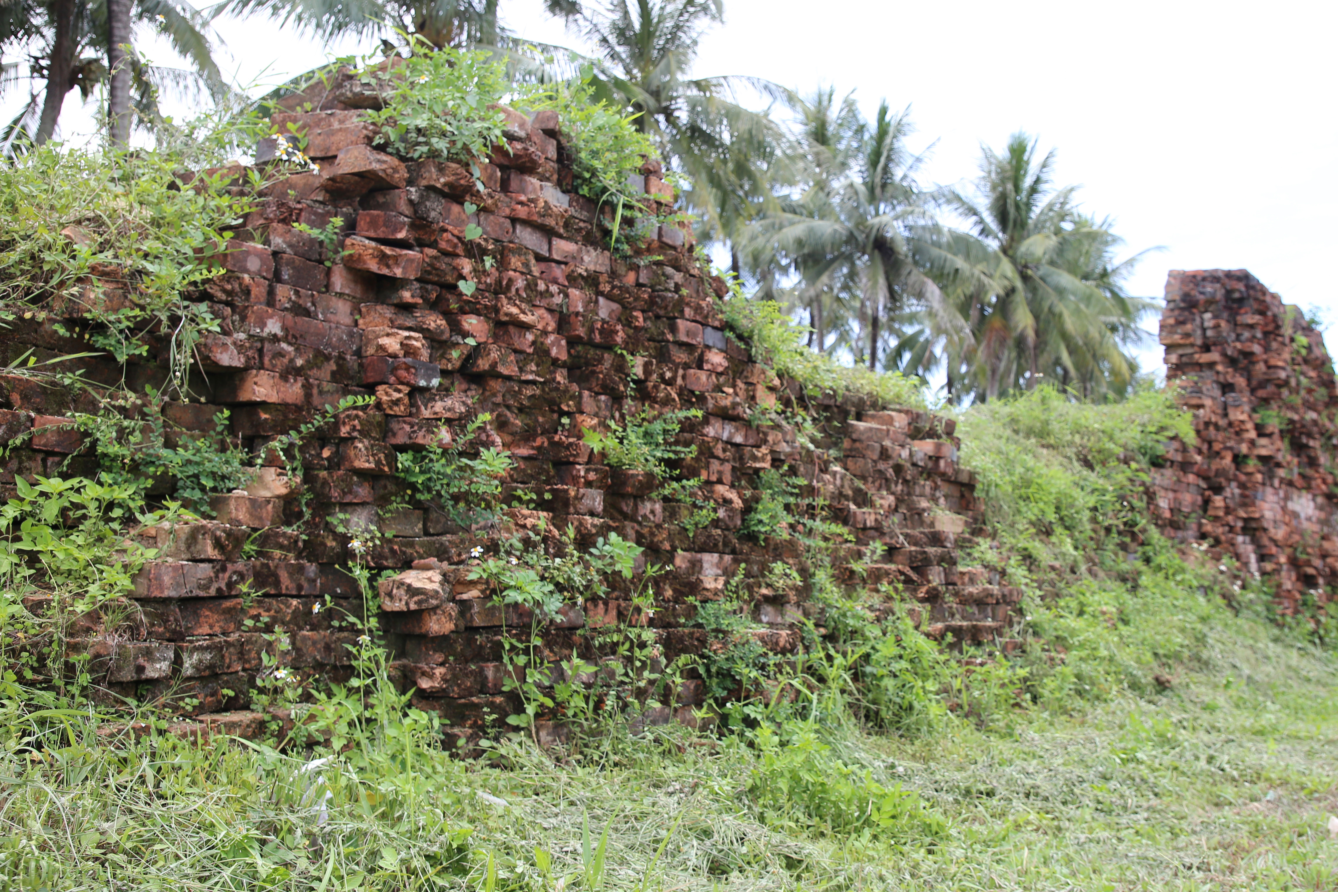
The photo "A smile defying bombs," taken at the foot of the citadel in 1972, captures the fiercest moments of the battle. 53 years later, some sections of the wall remain, surrounded by lush greenery.
 |
 |
 |
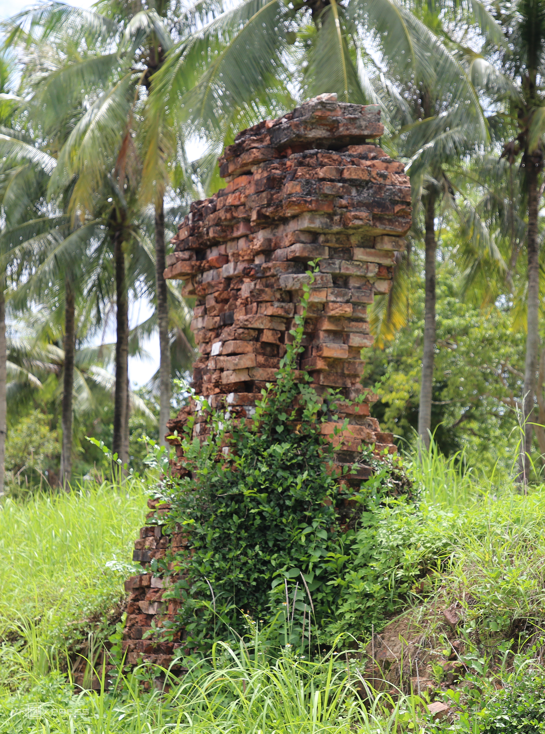
Inside the citadel, the ground is scarred with bomb craters. Almost all structures were razed, leaving only a few sections of the walls still standing today.
 |
 |
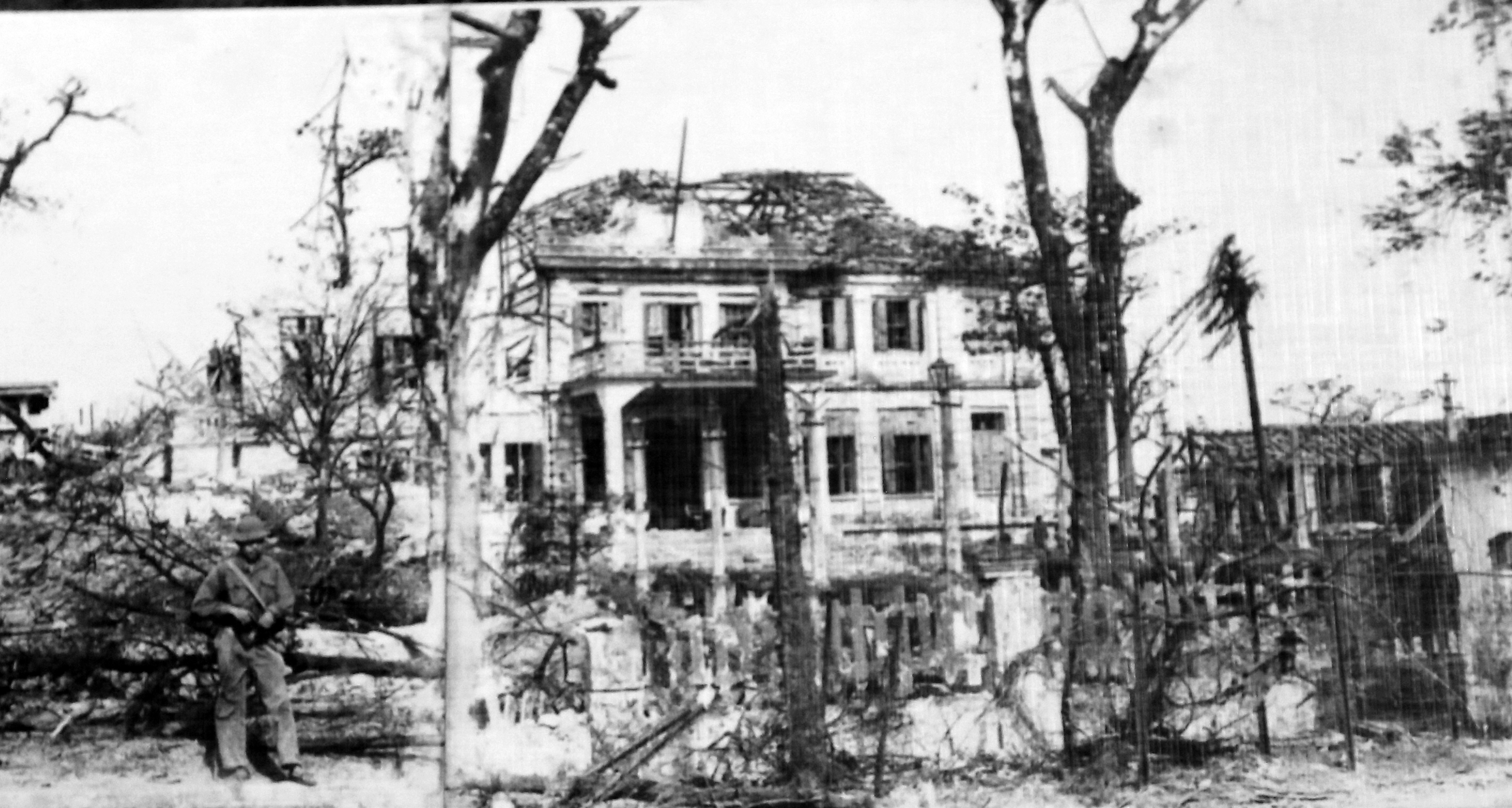
The Republic of Vietnam provincial governor's palace, located west of the citadel near the Thach Han River, later served as the headquarters and field hospital for PAVN. This area is now Giai Phong Square.
The citadel receives hundreds of visitors daily, peaking at 3,800 on September 2nd.
 |
 |
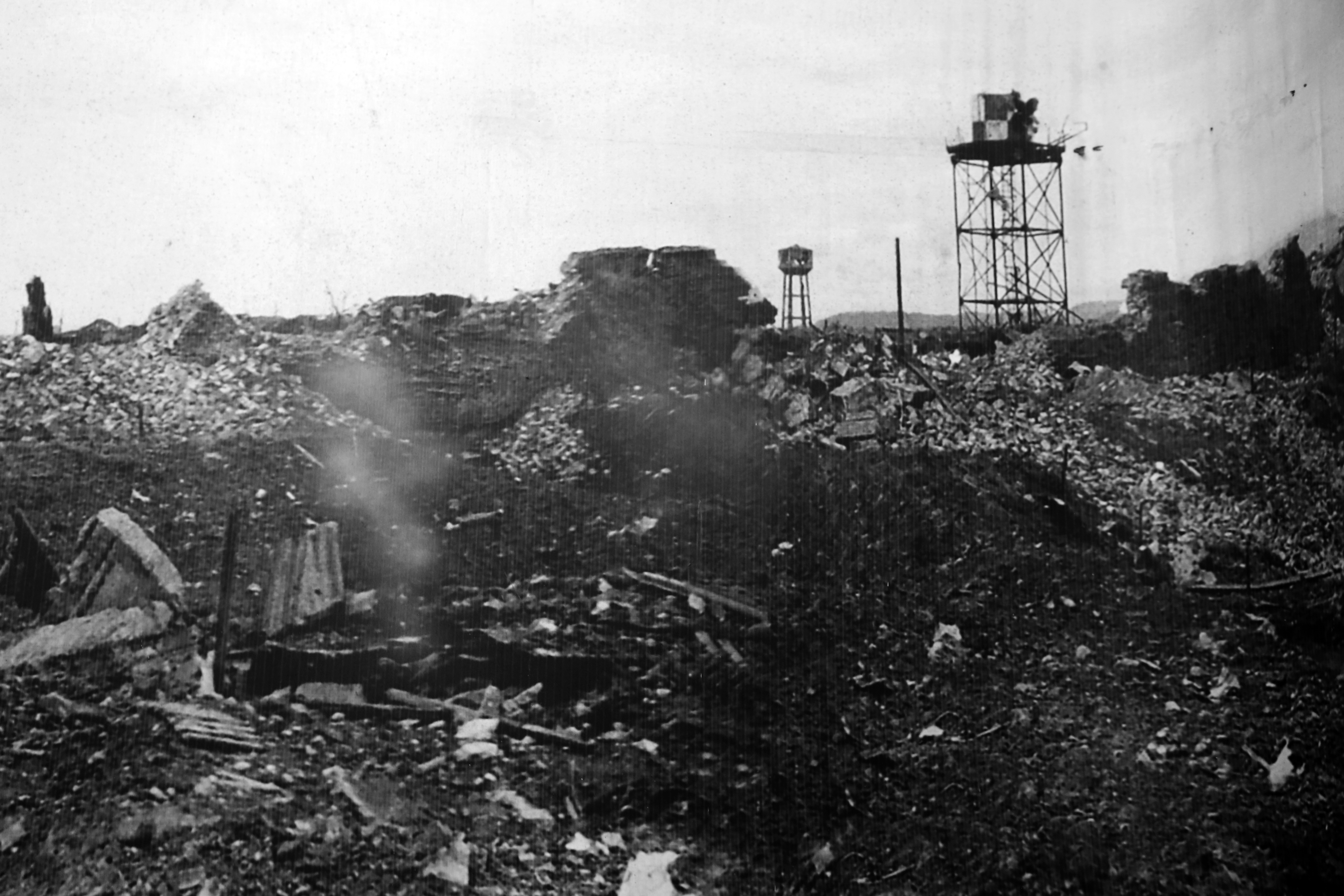
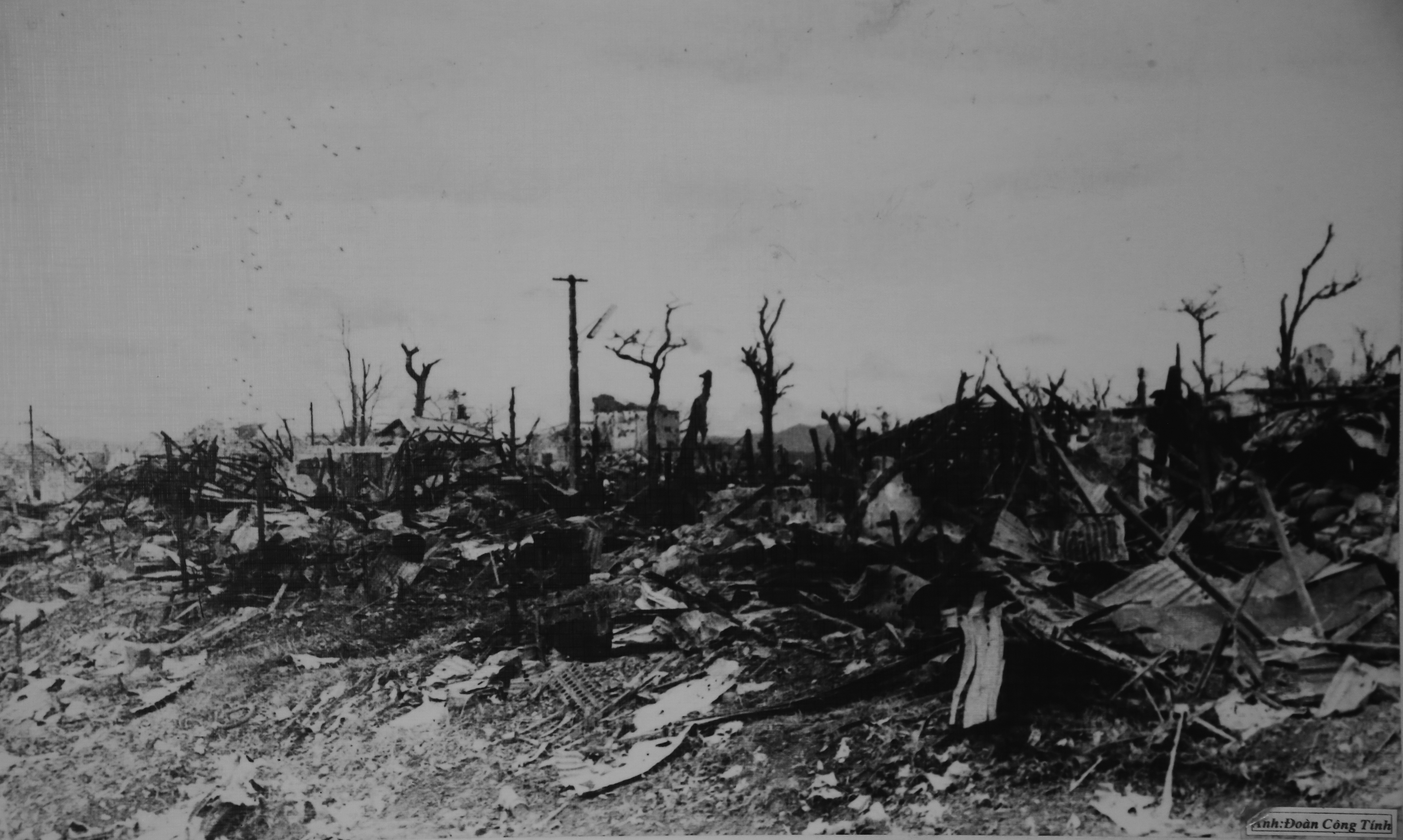
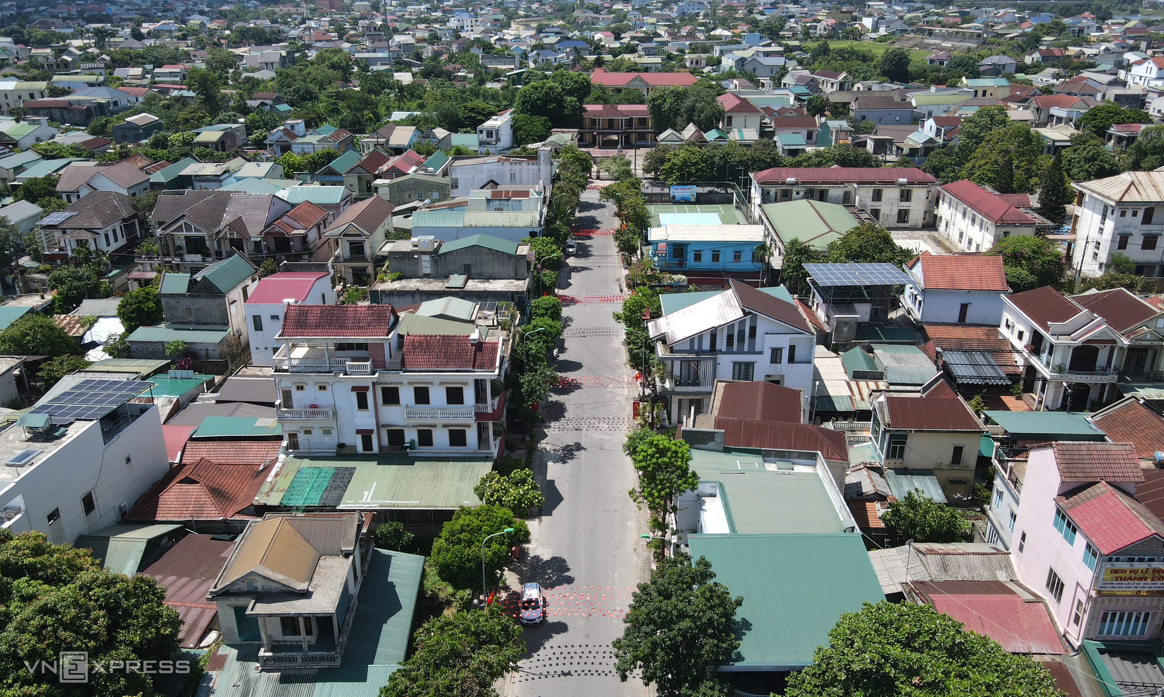
Beyond the citadel, almost all buildings in Quang Tri town were flattened. 53 years later, the town is densely rebuilt on the ruins. Photo by Dac Thanh
Most of the photos displayed at the Quang Tri Citadel Museum were taken by journalist Doan Cong Tinh.


