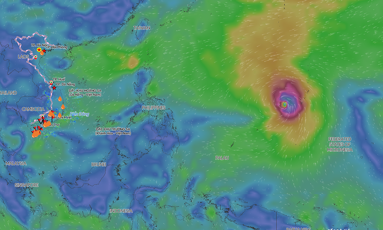
The National Center for Hydro-Meteorological Forecasting reported that at 7:00 on 3/9, the storm's eye was in the coastal waters southeast of Fujian province, with maximum sustained winds of 74 km/h, equivalent to level 8, gusting to level 10. It is moving west-northwest at approximately 10 km/h.
By 7:00 tomorrow, the typhoon is forecast to weaken into a tropical depression with winds of level 6, gusting to level 9, over the southeastern mainland of Guangdong province, China.
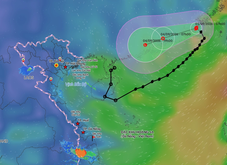 |
Forecast track of Typhoon Saudel on the morning of 3/9. *Photo: Disaster Monitoring System* |
Meteorological agencies warn that the northeastern part of the northern East Sea will continue to experience strong winds of levels 6-7, gusting to levels 8-9, with waves 2-4 m high. Areas near the storm's eye will have strong winds of level 8, gusting to level 10, and sea waves 3-5 m high. Vessels operating in the danger zone are susceptible to thunderstorms, whirlwinds, strong winds, and high waves.
Typhoon Saudel originated from a low-pressure area that weakened after traversing the Northwest Pacific, moving through China, and then shifting to the waters east of the Leizhou Peninsula. On 31/8, this system strengthened into a tropical depression, and by the morning of 1/9, it became the fifth typhoon in the East Sea.
Earlier, in late August, Typhoon Narra and the impact of a tropical convergence zone caused heavy rain and thunderstorms in many northern and north central provinces, resulting in three deaths and three injuries. Two homes completely collapsed, 1,329 homes were damaged or had their roofs blown off, and tens of thousands of homes were flooded.
By Gia Chinh