On the afternoon of 11/12, the Ministry of Agriculture and Environment and the Ministry of Public Security held a conference to review the 90-day campaign to enrich and clean the national land database. This initiative aims to thoroughly address previous issues of duplicated land parcels and serves as a foundation for integration with the national digital address platform.
Following the process of enriching and cleaning land data, over 69,7 million land parcels have now been assigned identification codes. This total includes parcels for which databases have been created, those with cadastral maps, and parcels undergoing cadastral surveys.
The land parcel identification code (ID) is a 12-character string encoded by geographical location (latitude and longitude), issued only once. The process of creating a land parcel ID involves four steps: identifying the parcel's characteristic point; converting the location from Vietnam's coordinate system to an international one; encoding the characteristic point's location; and updating the parcel's spatial data table.
For areas without existing cadastral databases, management agencies will collect land use right certificates and citizen identification cards from owners to establish initial data for each parcel. After verification and cross-referencing, the communal People's Committee will update this information into the general land information system.
 |
Each land parcel will be assigned a unique identification code to prevent duplication. *Photo: Pham Du* |
At today's conference, Minister of Agriculture and Environment Tran Duc Thang stated that land data, built over various periods from 1994 to the present, under differing regulations, led to "data fragmentation". Operation involved two parallel models, centralized and decentralized, across localities. These shortcomings caused difficulties in connecting, sharing, and utilizing data, with information often containing errors, duplications, or missing original data.
Consequently, the "enrich and clean national land database" campaign served as a comprehensive review and standardization of land data nationwide. The 90-day initiative, running from September to the end of November, aimed to ensure "accurate, complete, clean, and live" land information, synchronized with the population database, to enhance transparent management and improve public services.
Over the past 90 days, units of the Ministry of Agriculture and Environment transferred over two million "accurate, complete, clean, and live" land parcels to C06, Ministry of Public Security, for inter-connection. An additional 40 million land parcels are also ready for handover and integration into VNeID.
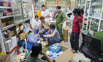
In various localities, over 7,6 million certificates lacking database records still require collection. The primary reasons include the short implementation timeframe and instances where landowners are not present locally or do not cooperate in providing certificates.
To address this challenge, the two ministries developed a utility allowing citizens to provide data via the VNeID application. Within 15 days of implementation, 126,085 citizens submitted information regarding their certificates through VNeID.
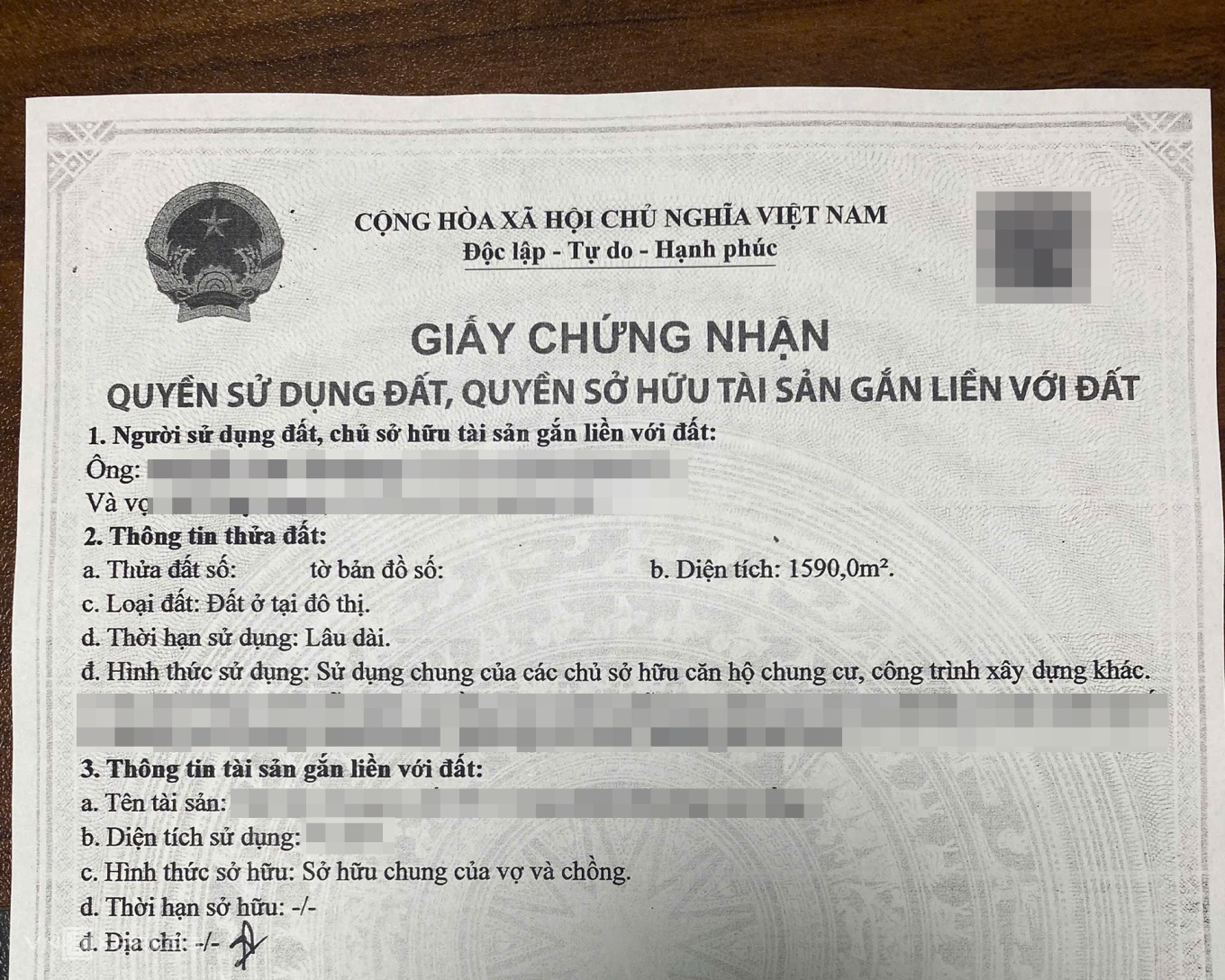 |
Photocopies of "red books" (land use right certificates) were used for submission to neighborhood groups. *Photo: Pham Du* |
In the future, once the land database is clean, accurate, and complete, transactions will be conducted directly online. Information regarding land use rights and property ownership on land will also be encoded and integrated into VNeID for public lookup and control.
Pham Du