

The Buong river improvement project will widen the river channel for almost 7 km through Phuoc Tan ward. 4.3 km will be embanked with sloping sides, a 35-36 m wide bottom, and a 58-60 m wide surface. The remaining 2.59 km will have vertical embankments, 50 m wide. Approximately 292,000 m2 of land will be acquired for the project. The project will also construct and improve the nearly 3 km long Rach Ba Buom, widening it to 10 m and deepening it to 4.5 m, requiring 47,000 m2 of land acquisition.
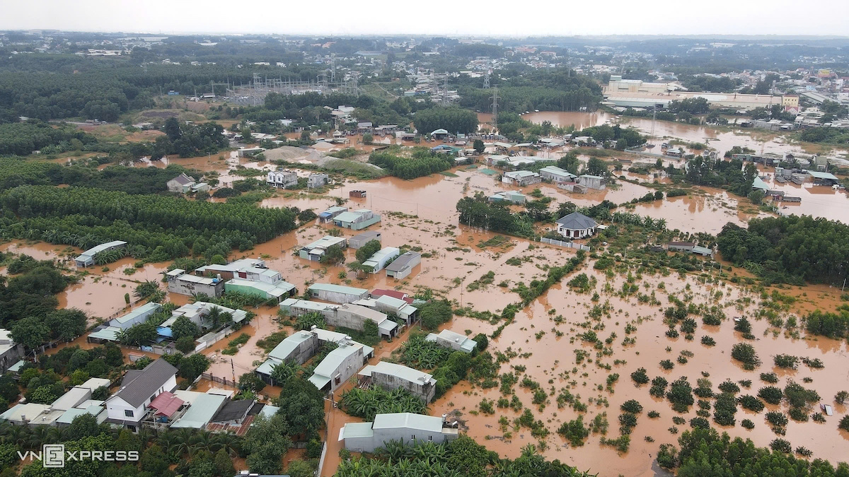 |
High water levels in the Buong river caused flooding in Phuoc Tan ward in 10/2024. Photo: Phuoc Tuan
The Buong river, stretching over 50 km, originates in Long Khanh, flows through Thong Nhat and Trang Bom, and merges with the Ben Go river before emptying into the Dong Nai river at Long Hung ward. It serves as the primary drainage system for a 40,000-hectare basin, provides irrigation water, and offers tourism potential upstream.
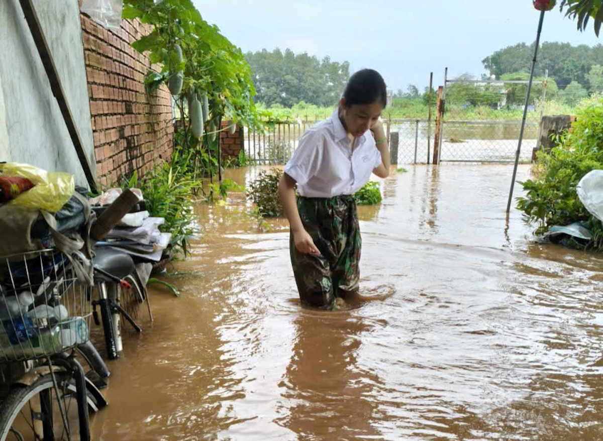 |
Houses in Phuoc Tan ward were severely flooded on the afternoon of 12/9. Photo: Thai Ha
However, rapid urbanization and low-lying terrain have exacerbated flooding, particularly from Giang Dien commune to the Dong Nai river. In Phuoc Tan ward (formerly Bien Hoa city), the Buong river has overflowed for years, causing floodwaters to reach depths of 1.3-1.7 m and persist for up to 48 hours, significantly impacting residents' lives.
In addition to this project, the People's Committee of Dong Nai province has also instructed the investors of two component projects of the Bien Hoa - Vung Tau expressway to review and adjust construction methods to prevent flooding in residential areas during the rainy and flood seasons.
Deep, fast-flowing floodwaters forced authorities to assist residents in evacuating on 12/9. Video: Thai Ha
Phuoc Tuan


