The Hanoi People's Committee recently approved the Master Plan for Hanoi Capital, looking 100 years ahead. This is the city's most long-term plan to date, establishing a development strategy until 2085 and beyond. It will reshape the capital's entire spatial structure, growth model, transportation, population, environment, and economy for generations to come.
The plan covers Hanoi's entire administrative area, spanning over 3,359 km2, comprising 51 wards and 75 communes. The city is also expanding its research scope to link with Phu Tho, Thai Nguyen, Bac Ninh, Hung Yen, Ninh Binh, as well as the Red River Delta, the Northern Midlands and Mountains region, and national and international economic corridors. This aims to form a "radial urban cluster" structure, with Hanoi acting as the leading nucleus for the entire region.
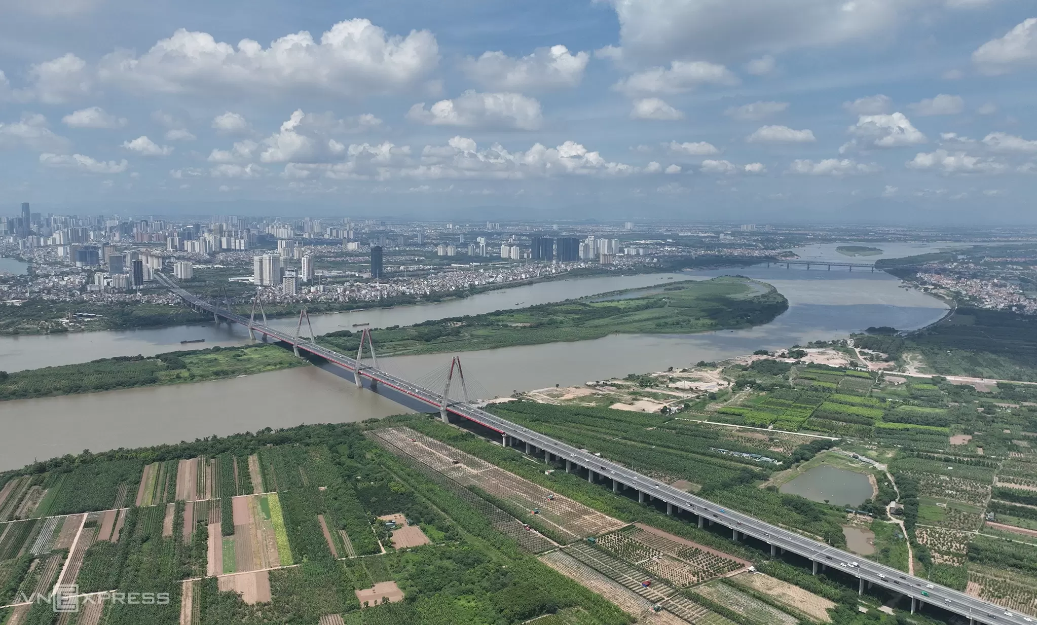 |
Cau Nhat Tan (Nhat Tan Bridge) spans the Red River. *Photo: Ngoc Thanh*
Building a capital that is "civilized, modern, and happy"
A core principle of the master plan is to place people at the center, as the subject, goal, and driving force of development. Hanoi identifies culture as the fundamental basis of its socioeconomic development strategy, embracing the value system of "civilization, identity, and creativity".
The city aims for rapid yet sustainable development, linked with digital transformation, green transition, a circular economy, climate change adaptation, and national defense and security. The plan not only focuses on urban expansion but also seeks to restructure Hanoi's entire development model towards a more modern, smart, and balanced approach.
According to the set roadmap, by 2035 Hanoi will be a green, smart, modern city with high regional competitiveness. By 2045, the capital will become an important innovation hub in Asia - Pacific. By 2065, Hanoi aims for the status of a global city with a high quality of life, ranking among the world's leading happy capitals. Beyond 2085, the city is positioned as a "prosperous, harmonious, civilized, and distinctive" megacity, globally connected on a foundation of one thousand years of values.
Maximum population not exceeding 20 million people
The plan projects Hanoi's population to reach approximately 14-15 million people by 2035, about 15-16 million by 2045, and around 17-19 million by 2065. In the long-term phase thereafter, the city will maintain population stability, capping it at a maximum of 20 million people.
Alongside population growth is the goal of significantly increasing economic scale. Hanoi aims for a Gross Regional Domestic Product (GRDP) growth rate exceeding 11% per year during the 2026-2035 period, with the economy reaching approximately 200 billion USD by 2035, and GRDP per capita at a minimum of 18,800 USD. By 2045, GRDP is projected to reach about 640 billion USD, with GRDP per capita at least 42,000 USD. By 2065, the economic scale targets approximately 1,920 billion USD, and GRDP per capita at least 95,000 USD. Beyond 2085, GRDP per capita is projected to reach a minimum of 200,000 USD.
In addition to economic indicators, the plan also sets specific social goals, such as an average life expectancy of about 79-80 years, 70-72 years of healthy living, and a happiness index of 9,2-9,5/10, placing it among the happiest capitals in the world by 2065.
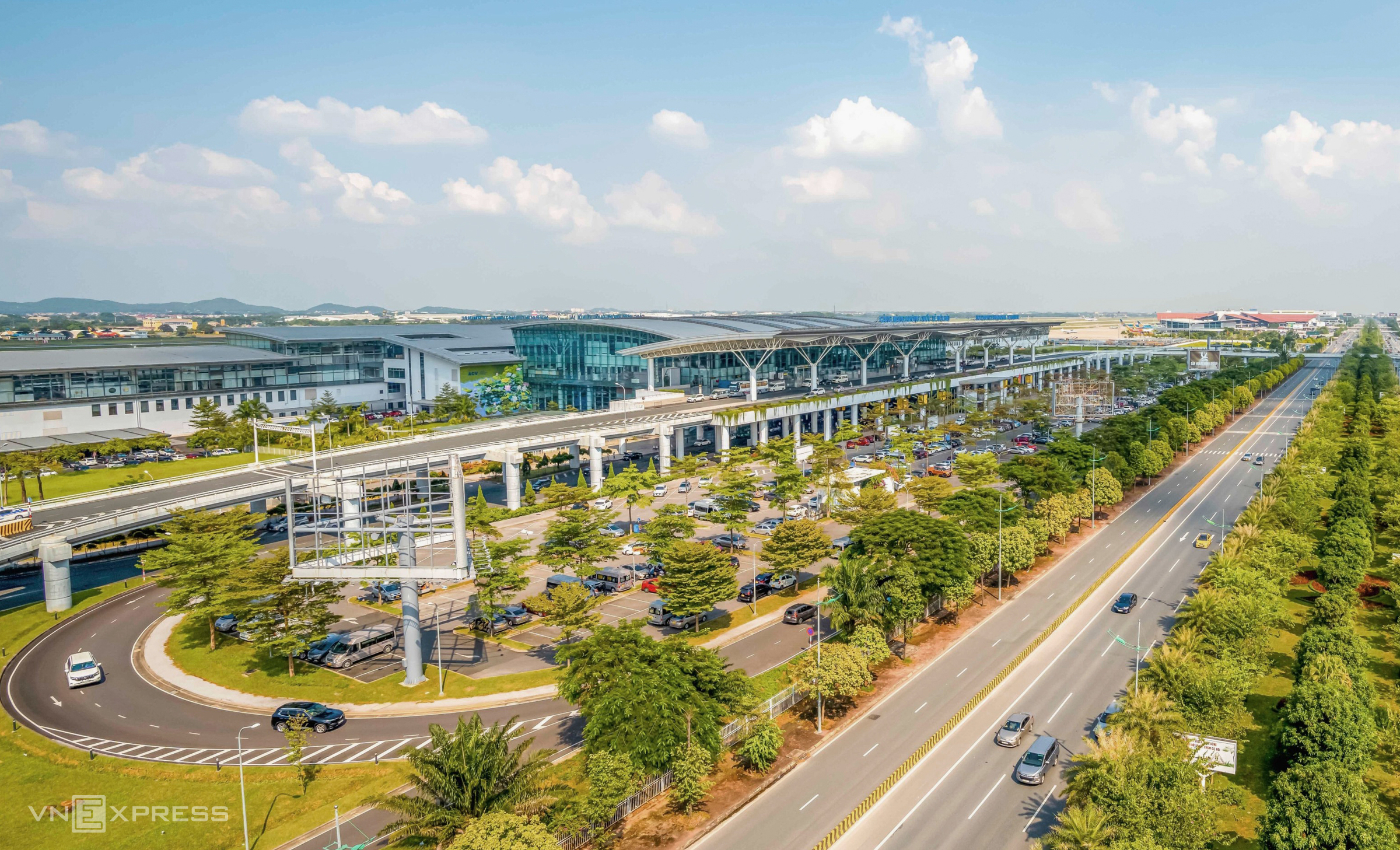 |
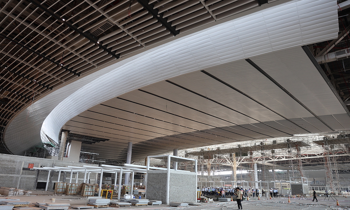
Terminal 2 of Noi Bai Airport, Hanoi. *Photo: Giang Huy*
Multi-layered urban area
The plan's biggest breakthrough is its "multi-layered" urban model. Instead of merely expanding horizontally, Hanoi is shifting to utilize space vertically and integrate multiple values within the same urban area. The urban space is divided into three main layers: underground, ground level, and elevated.
Underground, the city plans distinct spatial layers. The shallow layer, from the ground to a depth of 15 m, is prioritized for commercial activities, underground pedestrian corridors, parking lots, and technical infrastructure. The middle layer, from 15-30 m, will accommodate urban railways, underground warehouses, technical tunnels, and disaster prevention structures. The near-deep layer, from 30-50 m, is reserved for strategic infrastructure, underground water storage systems, and national defense and security facilities. The deep layer, below 50 m, will be strictly protected as a long-term reserve space.
Hanoi aims for the proportion of underground space development in the central area to reach over 20% by 2045 and about 40% by 2065. This indicates that the future city will not only develop on the surface but will expand significantly underground, similar to major megacities worldwide.
At ground level, the plan prioritizes space for people, green areas, water bodies, and heritage preservation. Meanwhile, elevated spaces are geared towards developing high-rise complexes integrated with public transportation, elevated pedestrian bridges, and "low-altitude economy" activities such as flying taxis, drones, airborne logistics, and smart urban monitoring.
Within the "multi-layered" structure, Hanoi identifies four coexisting value layers: heritage-culture, ecological-natural, social-community, and economic-digital infrastructure. This means each urban space must simultaneously serve historical preservation, enhance quality of life, foster economic development, and operate using digital technology.
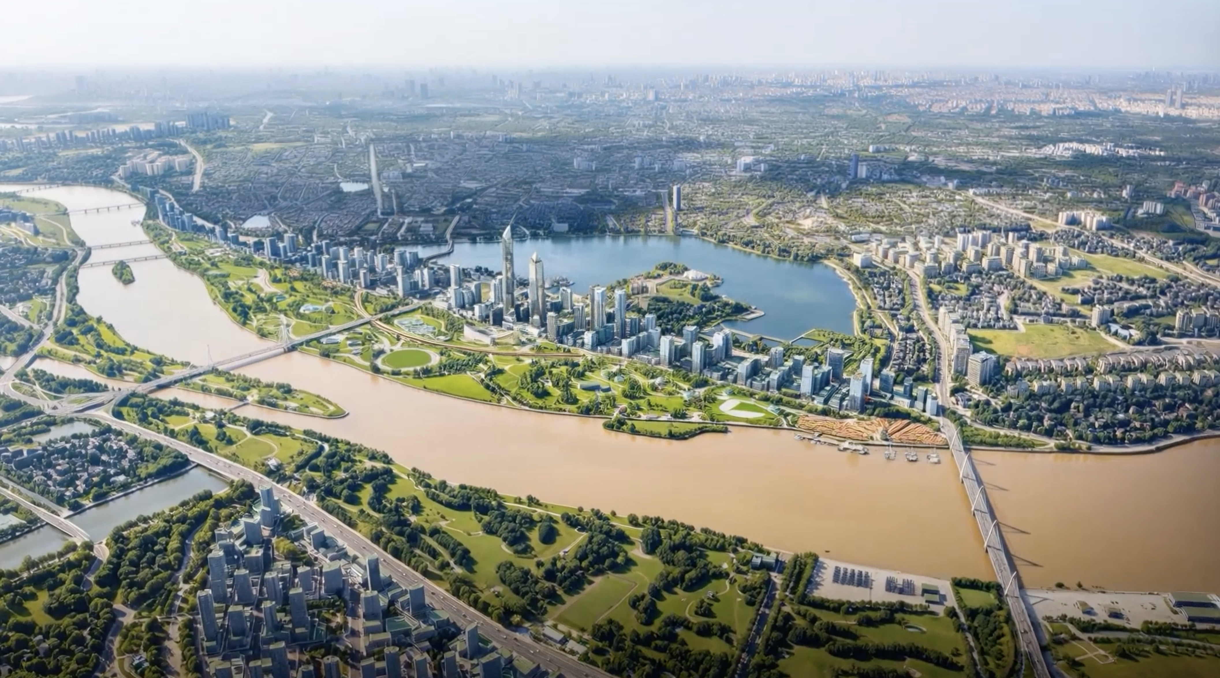
The Red River becomes the capital's backbone
One of the plan's most significant changes is making the Red River the central green space axis and a new development driver for Hanoi.
For many decades, Hanoi did not focus on its rivers. In the new plan, the Red River is identified as the main ecological-cultural landscape axis, and also a future financial, commercial, tourism, and service center.
The city plans to develop the Red River landscape boulevard axis, connecting a series of growth poles on both riverbanks, expanding urban space towards the East and North. Riverfront areas will be reorganized to increase parks, squares, cultural services, tourism, and riverine transportation.
Beyond the Red River, the plan also aims to revitalize a series of inner-city rivers such as the To Lich, Nhue, Day, Tich, and Cau Bay. The city will build regulating lakes, underground water reservoirs, wastewater treatment systems, drainage works, and research dams to address pollution and flooding.
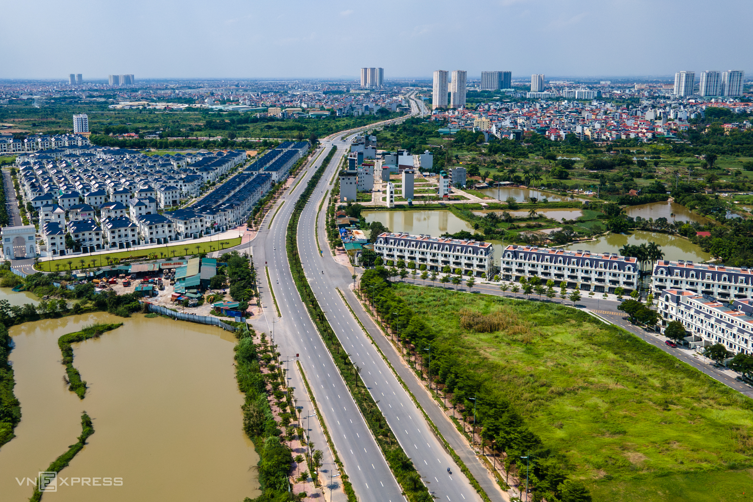 |
Belt Road 3,5 connects Hanoi - Hung Yen. *Photo: The Bang*
six urban regions and nine growth poles
The plan establishes a "radial urban cluster" model, where Hanoi is the central core city, and surrounding provinces form a system of satellite cities and counterweights to share population, infrastructure, and service pressures.
The North, linked with Thai Nguyen, Song Cong, Pho Yen, will develop healthcare, education, and high-tech industries. The Northeast, including Bac Ninh, Tu Son, Thuan Thanh, will focus on industrial-service and logistics development. The Southeast, with Van Giang, Hung Yen, will form a chain of ecological and high-end service urban areas. The South, with Duy Tien, Phu Ly, will become a healthcare and education gateway center for the South. The West, comprising Vinh Yen, Phuc Yen, Viet Tri, will develop resorts, clean industries, and cultural tourism. The East connects Hai Duong, Chi Linh to open a corridor to the sea.
The central pole maintains its role as the core cultural, historical, political, financial, and administrative hub. The northern pole is linked with Noi Bai, logistics, and a free trade zone. The eastern pole develops logistics and services along the Hanoi - Hai Phong corridor. The southern pole is associated with industry, logistics, a second airport, and high-speed rail. The Hoa Lac pole will become a science-technology and innovation center. The Son Tay - Ba Vi pole develops resort tourism, culture, and ecology. Notably, the Red River pole is identified as a special landscape space and a new development driver for the capital.
Transportation and infrastructure expand urban space
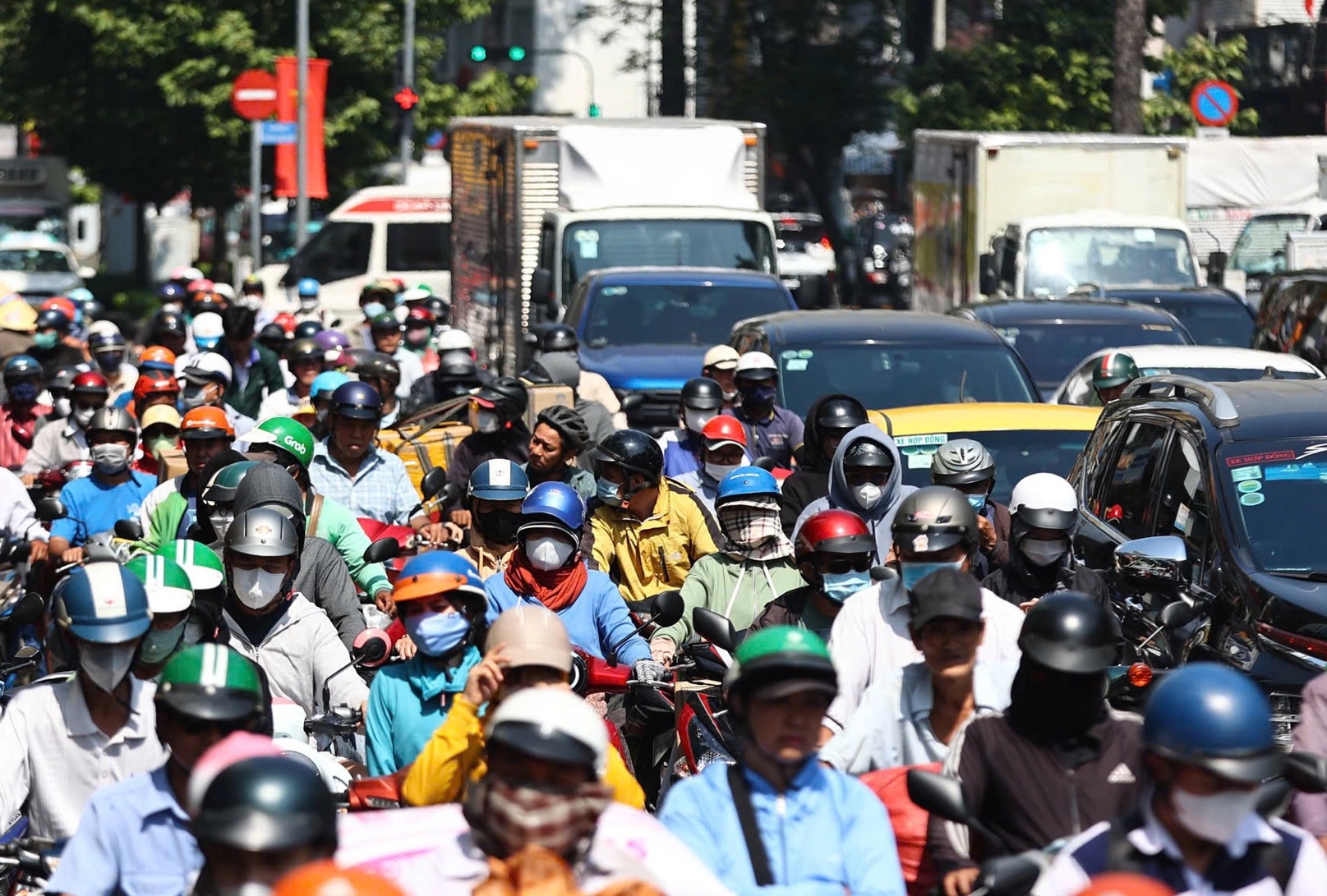
The plan identifies transportation as a tool to drive urban development. Hanoi aims to resolve prolonged congestion points by 2030; develop high-volume public transport, expand riverine routes, and enhance inter-regional connectivity.
Belt roads 4, 4,5, and 5 are envisioned as new economic and urban development axes. The urban railway and inter-regional railway systems will become the main transport framework to expand urban space and reduce reliance on personal vehicles.
Hanoi also plans a second airport in the South, alongside Noi Bai, while developing an airport city model, logistics centers, dry ports, and a free trade zone.
Digital economy, flying taxis, and silver economy
Alongside traditional industries, Hanoi aims to strongly develop new economic models such as the digital economy, green economy, circular economy, silver economy, and low-altitude space economy.
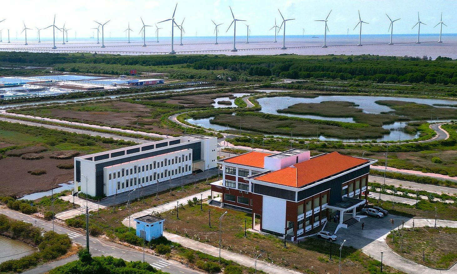
The low-altitude space economy will utilize airspace below 3,000 m for flying taxis, drones, medical transport, logistics, and infrastructure monitoring. The city aims to become a national research and production center for low-altitude space technology, with Hoa Lac High-Tech Park as its core.
Meanwhile, the silver economy focuses on developing healthcare services, housing, tourism, and community services for the elderly, anticipating the future trend of an aging population.
Vo Hai - Son Ha