 |
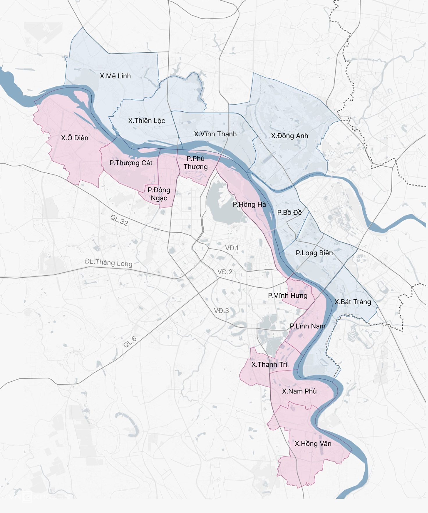
On the morning of 11/5, the Hanoi People's Council approved a resolution to greenlight the investment policy for the Red River Landscape Boulevard Project, which is expected to span over 11,000 hectares.
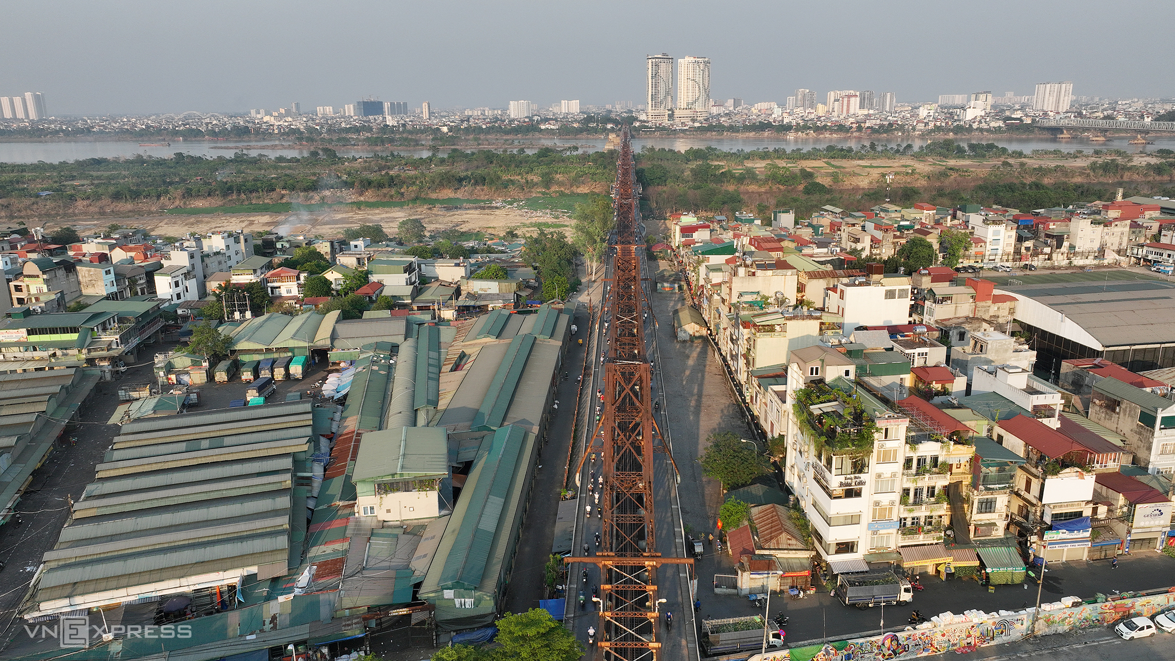
The project extends from Hong Ha Bridge to Me So Bridge, impacting about 200,000 residents across 16 communes and wards along both river banks. The total investment is estimated at 737,000 billion VND, with completion anticipated by 2030. The photo above shows the Red River bank near Long Bien Bridge.
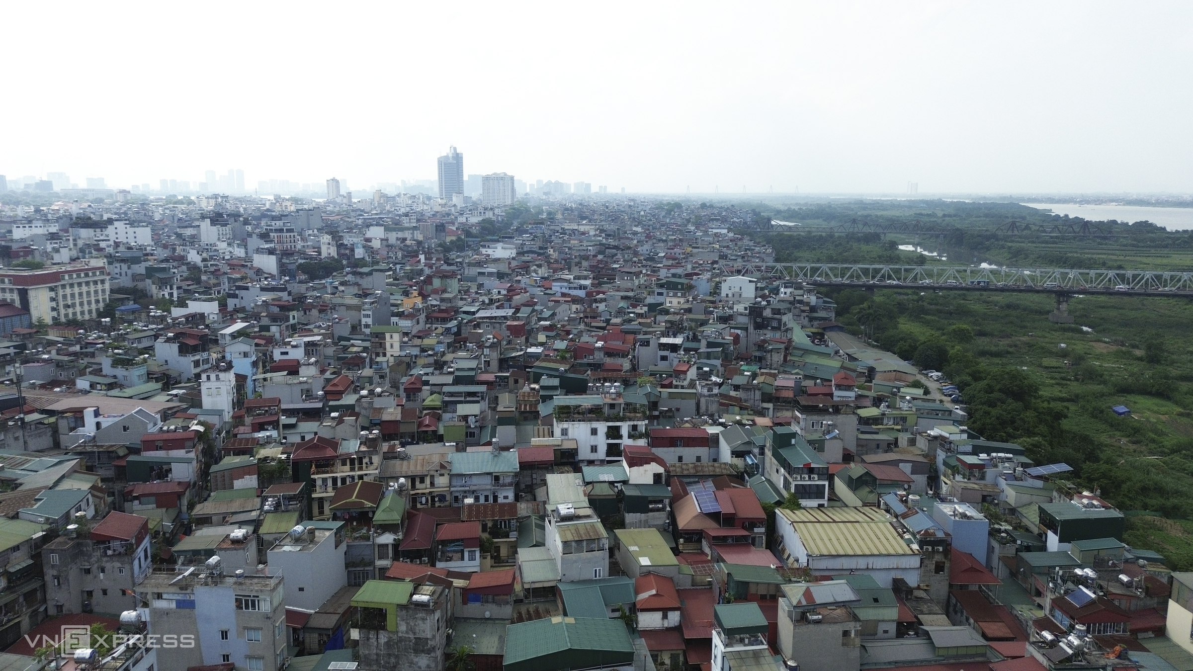 |
Houses are built close to the riverbank near Chuong Duong Bridge. Despite being outside the dike, the population density is similar to areas inside the dike, especially in residential zones like Phuc Tan, Chuong Duong, and Tu Lien.
Phuc Tan street is bustling with closely built houses and many narrow alleys, barely wide enough for one person. Ms. Loan stated that this area was almost deserted before, but people gradually moved in from other places.
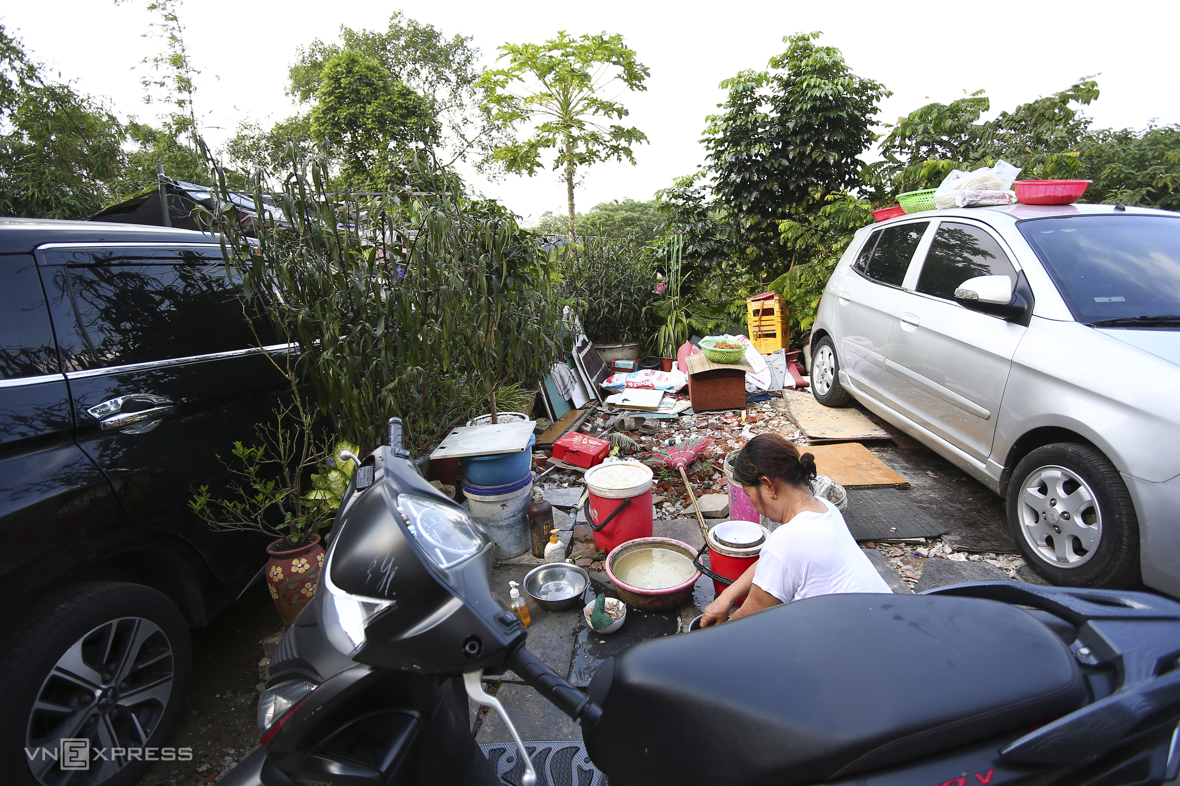 |
Living close to the river flood plain in a house of about 30 square meters, one household head mentioned moving here in the 1980s when the population was sparse.
Regarding the Red River Landscape Boulevard project, this resident expressed readiness to relocate if required by the city, but hopes for reasonable resettlement support. Specifically, she wishes for the authorities to soon announce details of areas allowed to remain for construction and those slated for complete clearance, to stabilize residents' livelihoods.
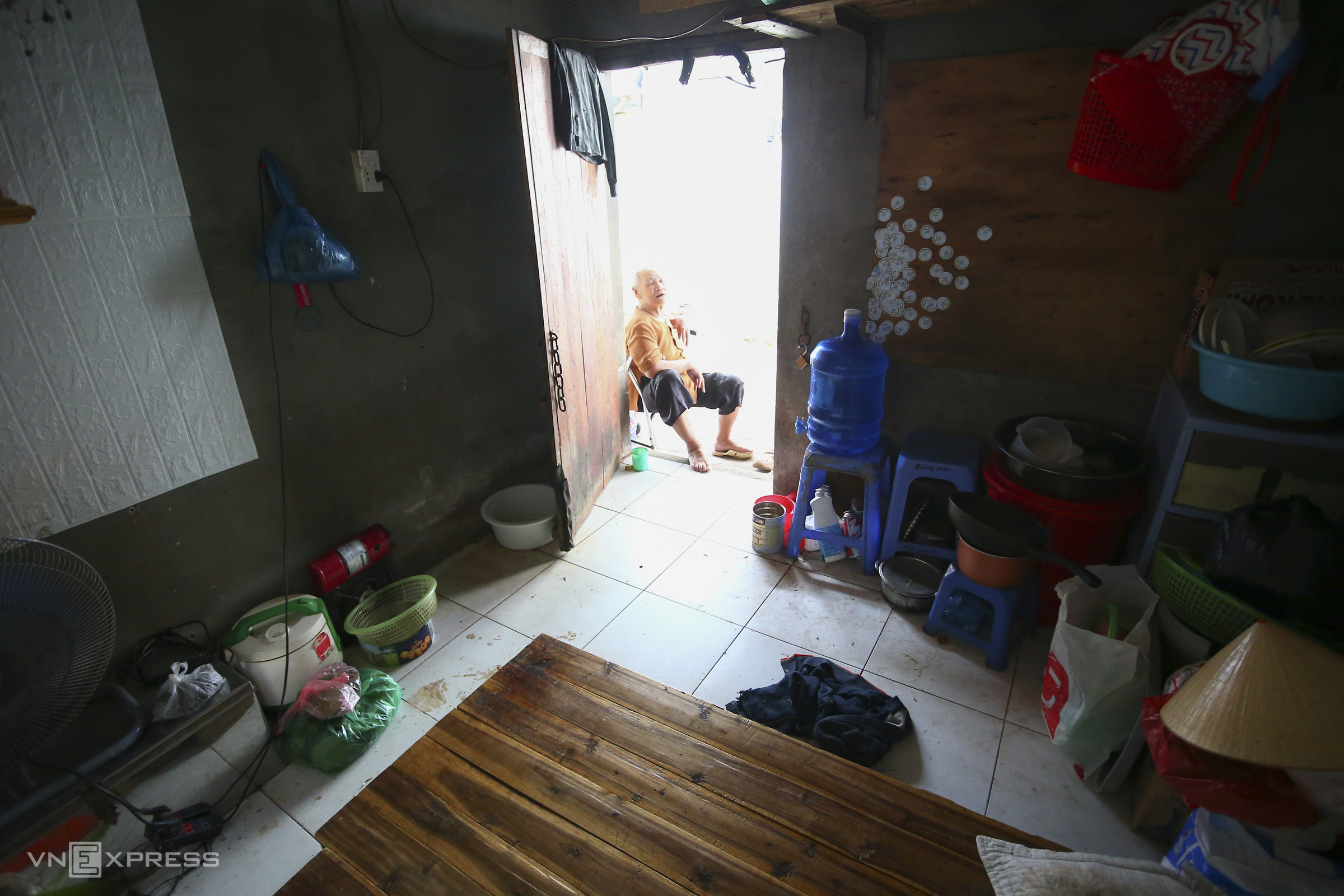 |
Alongside sturdy houses, the area outside the dike near the base of Long Bien Bridge is home to temporary housing and floating villages for poor laborers. They mainly live in old rental rooms with only a few essential items, sharing bathrooms with over ten other rooms.
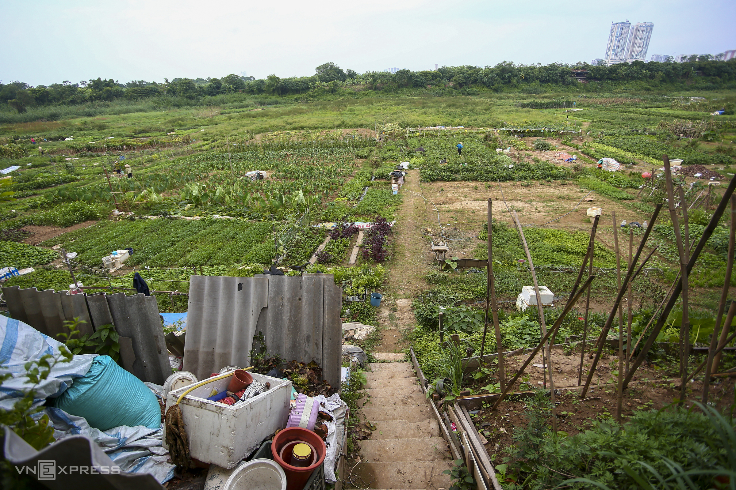 |
Many residents utilize the alluvial plain in front of their homes to grow green vegetables. For convenience, they have built steps leading down, dividing the land into small plots. Some vegetables are sold at the market, while the rest meet daily needs.
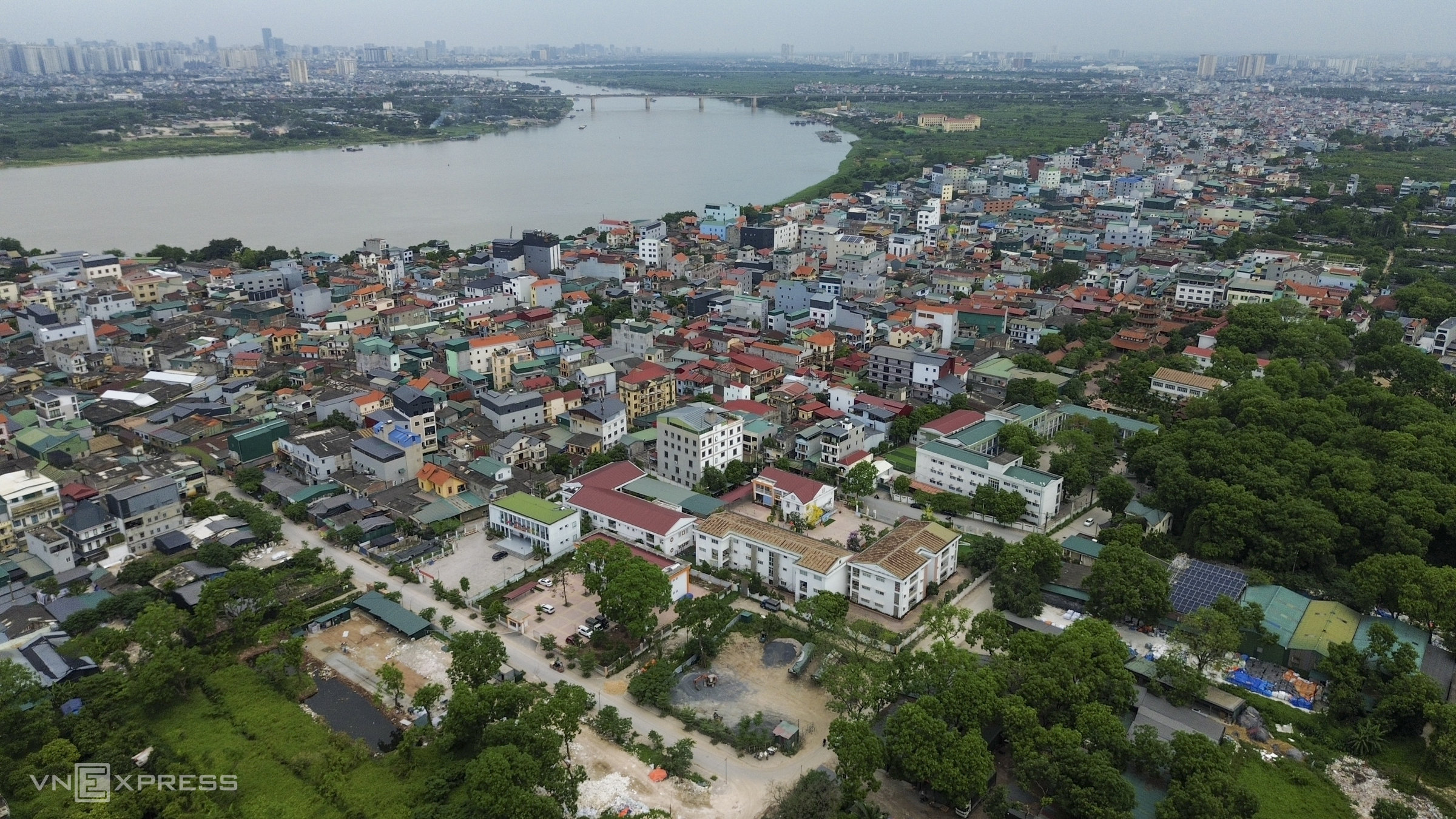 |
Over 20 km away, Bat Trang ceramic village is also slated for redevelopment. Located near Thanh Tri Bridge, houses are densely packed in the narrow alleys characteristic of this traditional craft village along the Red River.
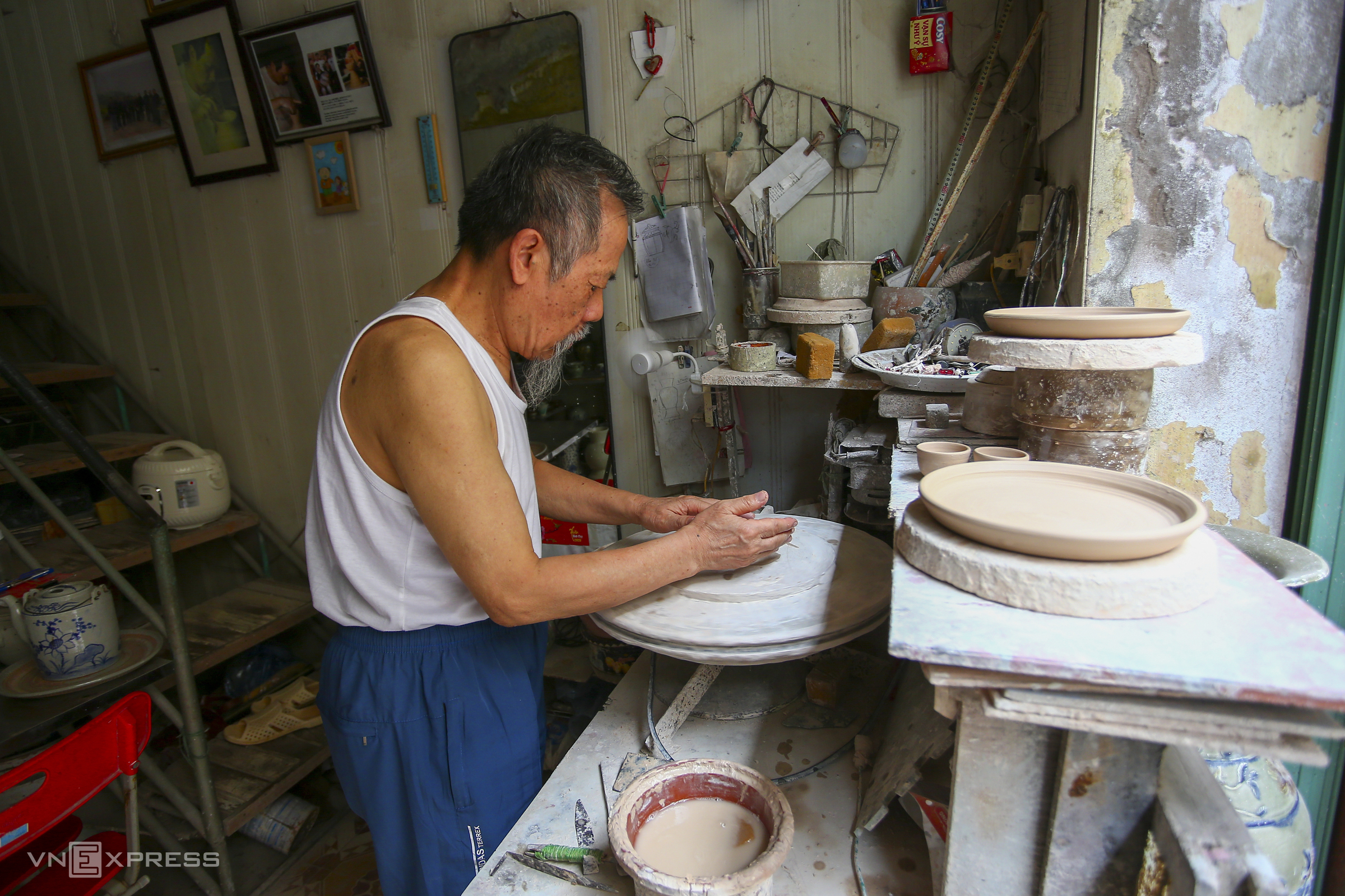 |
Many households in the village still practice pottery; while some use machines, others create products by hand. The urban redevelopment of Bat Trang craft village aims to preserve and revitalize the craft within a new spatial development framework.
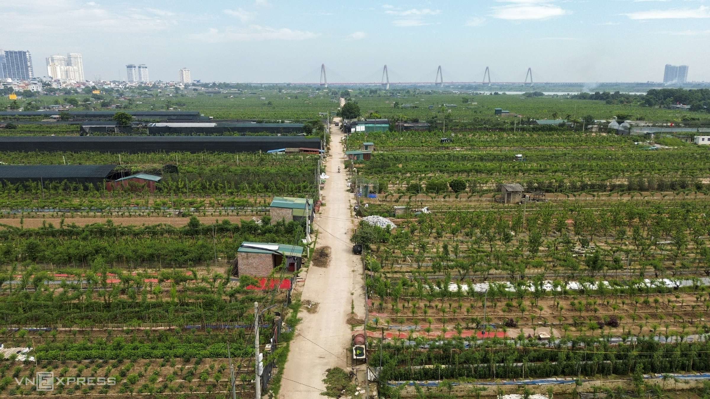 |
Also within the planning area are the Nhat Tan and Tu Lien peach and kumquat villages. However, unlike spontaneous residential areas that will be relocated, the Nhat Tan peach growing area will be preserved. The city will redefine the infrastructure to transform these locations into experiential tourism and creative economic spaces.
Residents are caring for kumquat and peach trees. Towards the end of the year, these two ornamental plant villages attract many visitors selecting trees for Tet (Lunar New Year) celebrations.
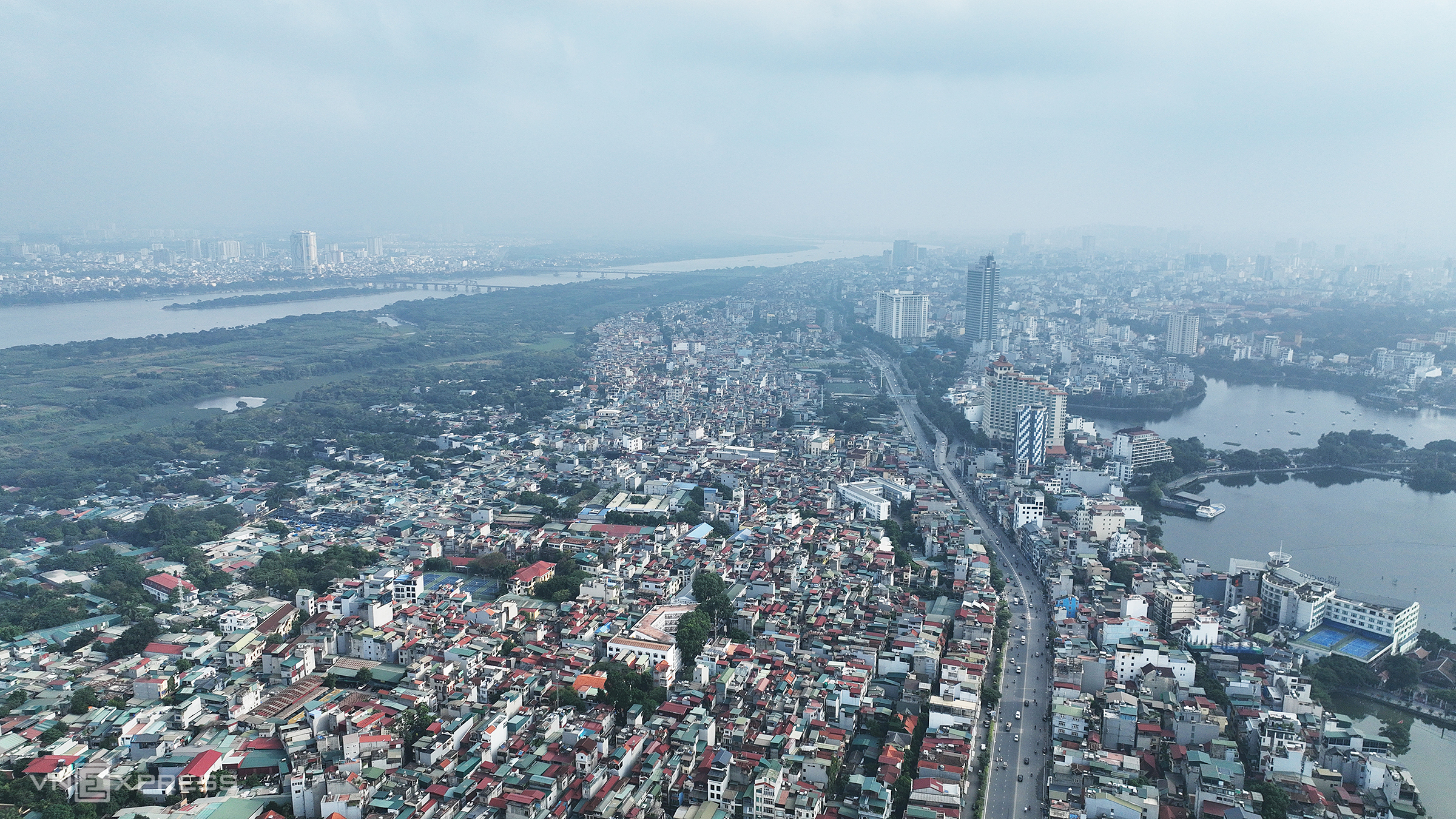 |
The Red River section flowing through Tu Lien, 5 km from Hoan Kiem Lake, features densely packed houses along its banks and a high population density.
The alluvial plain along the river section near Nhat Tan Bridge, on the side of Vinh Thanh commune, spans about 3 km long and 1 km wide. Its fertile land is utilized by residents for growing crops.
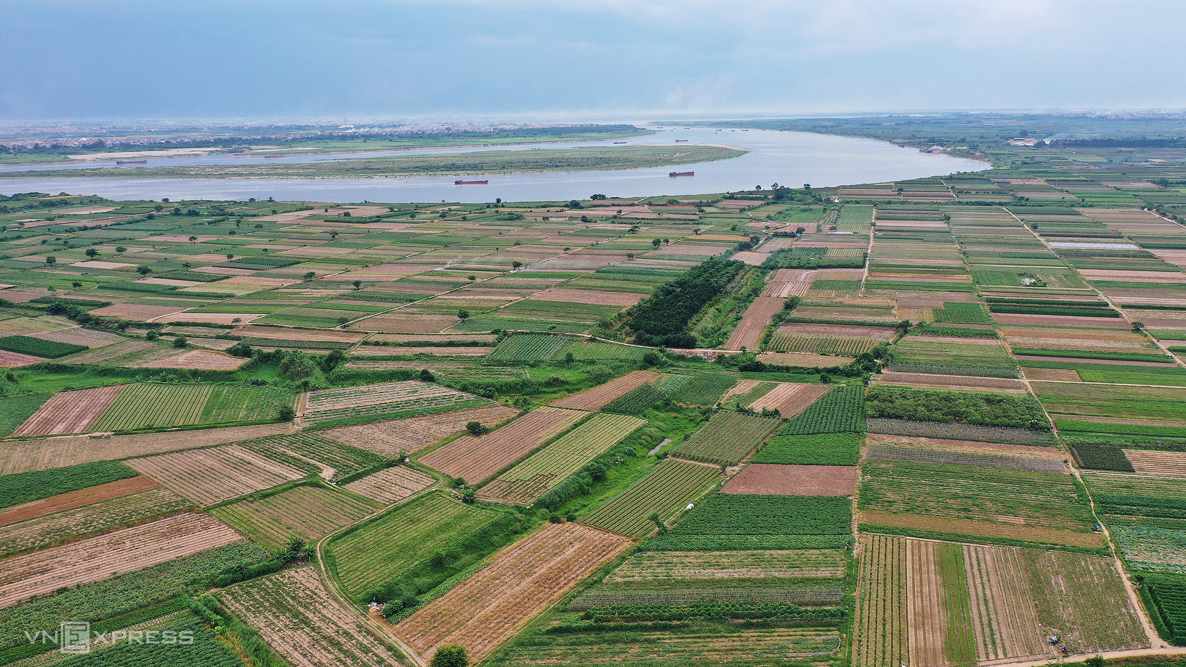 |
The alluvial plain along the Red River, specifically the section through Me Linh commune, is one of the capital's largest vegetable suppliers. The Trang Viet riverside park cluster in Me Linh and Thien Loc communes, covering about 1,113.8 hectares, is one of 11 parks within the Red River Landscape Boulevard project.
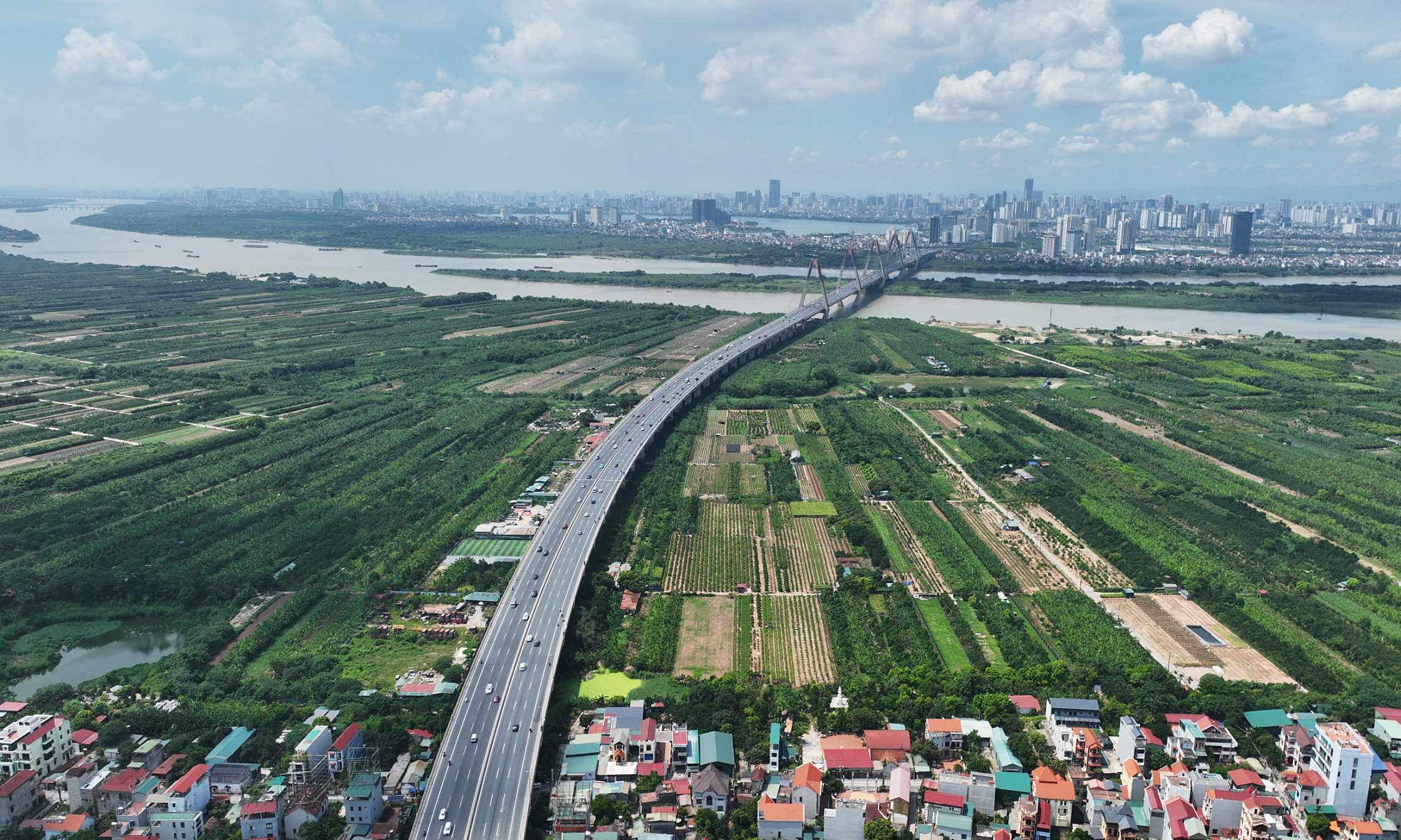
The entire project is expected to be implemented from 2026 to 2038. It comprises two phases: the 2026-2030 period prioritizes completing the main infrastructure and constructions of the project, including the landscape boulevard along both sides of the river, riverbed and riverbank regularization, and public parks. In the 2030-2038 period, the city will complete the remaining component projects.
 |
 |
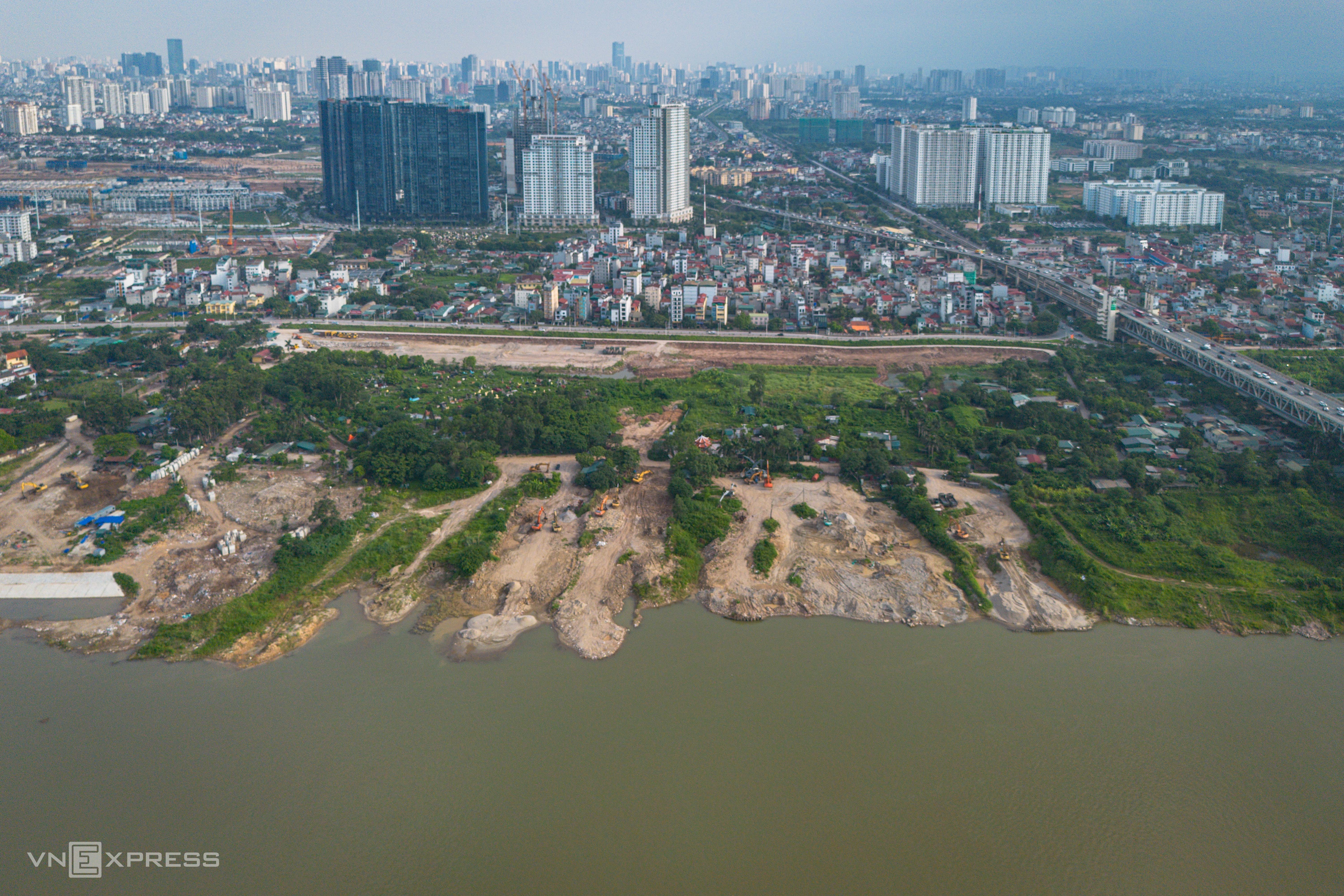
In late May, Hanoi prepared to launch the Phu Thuong public park project at the base of Thang Long Bridge. This is the first park under the Red River Landscape Boulevard, covering nearly 20 hectares with a total investment of about 1,720 billion VND, expected to be completed by 10/2026.
The construction is located on the Red River flood plain, adjacent to important transport routes such as Ring Road 3, the base of Thang Long Bridge, and An Duong Vuong street. Upon completion, the park is expected to become a green space along the river and a community hub in the northern part of the capital.
 |
The landscape axis along both sides of the Red River. *Graphics: Hoang Khanh*
Viet An - Hoang Giang - Thanh Hai