

At 4 a.m., the National Center for Hydro-Meteorological Forecasting reported that the typhoon was located approximately 170 km east of Mong Cai (Quang Ninh), with maximum sustained winds near the center reaching 88 km/h (category 9) and gusts up to level 11. The meteorological agency recorded winds of level 7 and gusts of level 8 in Bach Long Vi island.
Today, the typhoon is moving westward at a speed of 20 km/h and is expected to reach the Mong Cai area this afternoon, then gradually weaken. By 4 p.m., it will have become a tropical depression over the northeast region of Vietnam, with maximum sustained winds of level 6 and gusts of level 8. By 4 a.m. tomorrow, the low-pressure area will further weaken in the northwest region of Vietnam.
 |
Forecast path and affected area of Typhoon Ragasa. Photo: NCHMF |
The Japan Meteorological Agency reported that the typhoon's maximum sustained winds are currently around 90 km/h. As the typhoon's eye will only move over land in the coming hours, its intensity is expected to decrease rapidly. The Hong Kong Observatory predicts that the typhoon will move out to sea and then turn north towards Mong Cai.
Due to the typhoon's influence, the northwestern area of the East Sea is experiencing strong winds of levels 6-8, gusts of 10, and waves of 3-5 m. The northern part of the Gulf of Tonkin (including Bach Long Vi island, Van Don, Co To, Cat Hai and Hon Dau island) will see winds of levels 6-7 and waves of 2-3 m, while areas near the typhoon's center will experience winds of levels 8-9, gusts of 11, and waves of 3-4 m.
Onshore winds in the coastal areas of Quang Ninh - Hai Phong will gradually increase to levels 6-7, with areas near the typhoon's center experiencing winds of level 8 and gusts of 9-10. Further inland in northeast Vietnam, winds will reach level 5, and in some places level 6, with gusts of 7-8.
From this morning until the end of 26/9, the northern region of Vietnam, Thanh Hoa and Nghe An will experience widespread rainfall of 150-300 mm, with some areas receiving over 450 mm.
From now until 27/9, rivers in the northern region of Vietnam, Thanh Hoa and Nghe An are likely to experience flooding. The Thao River and smaller rivers may reach warning levels two and three; the Lo River, the upper reaches of the Thai Binh River, Hoang Long, Buoi, and the upper reaches of the Ma River may reach warning levels one and two, with some rivers exceeding warning level two.
Heavy rain may cause flooding in low-lying areas, flash floods in small rivers and streams, and landslides on steep slopes.
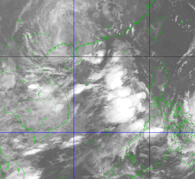 |
Satellite image of Typhoon Ragasa at 4 a.m. Photo: NCHMF |
In response to Typhoon Ragasa, the government has issued two official dispatches. The provinces of Quang Ninh, Hung Yen, Hai Phong, and Nghe An have issued sea bans, prohibiting ships from going out to sea and calling for vessels to return to safe harbor. On land, soldiers and militia are assisting residents with harvesting rice and securing their homes.
Typhoon Ragasa formed on 18/9 from a tropical depression off the coast of the Philippines. Three days later, it intensified by eight levels to become a super typhoon, and by the evening of 22/9, it entered the East Sea, reaching its peak intensity at category 17 with winds of 221 km/h. Ragasa surpassed Typhoon Yagi in 2024 to become the strongest typhoon in the East Sea in the past 70 years.
On 23/9, the typhoon swept through Taiwan, causing a reservoir to burst at the headwaters of the Ma Thai An River. The resulting floodwaters, carrying mud and debris, surged downstream, sweeping away the bridge over the Ma Thai An River and causing widespread flooding in several towns, submerging homes and vehicles. Initial reports indicate 15 deaths and 17 missing due to the floods.
Yesterday, the typhoon hit the coastal city of Jiangmen, Guangdong Province (China), with winds of 241 km/h, surpassing the 196 km/h record set in 2018 by Typhoon Mangkhut.
Gia Chinh


