Beyond iconic landmarks like Marina Bay Sands, the 165-meter-tall Singapore Flyer, or the ArtScience Museum, visitors to the island nation can explore its vibrant urban pulse through its bay and waterfront ecosystems. From the river, once a vital trade artery, to the walking path encircling Marina Bay, and the mangrove forests of Pulau Ubin, each journey connects history, architecture, and nature.
A historical journey on the Singapore River
Bumboats, wooden vessels once integral to Singapore's historical trade, now transport tourists to explore the city from the river. The journey lasts approximately 40 minutes, passing through historic quays such as Boat Quay, Clarke Quay, and the Marina Bay area, where echoes of the past intertwine with Singapore's modern skyline.
Boat Quay and Clarke Quay served as hubs for warehouses, docks, and cargo handling in the 19th century. In the 1860s, most of Singapore's maritime trade centered around Boat Quay. Clarke Quay, located near the river mouth, continued as a commercial center in the late 19th century, with cargo boats regularly mooring near the riverside warehouses.
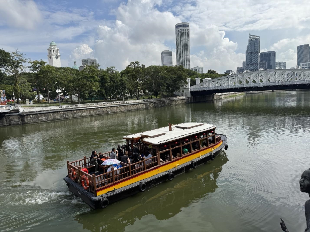 |
Bumboats are among Singapore's oldest sightseeing vessels. Photo: Timeout
Bumboats have navigated the Singapore River for over a century. Tourist cruises began in 1987, preserving the image of these vessels once tied to the port's commercial life. Since 2008, the diesel-powered fleet transitioned to electric motors, providing a smoother ride and reducing direct emissions during operation.
From the boat, visitors observe riverside buildings and the central financial district before heading towards the bay, featuring landmarks such as Merlion Park, Marina Bay Sands, Esplanade Theatre, and ArtScience Museum. The diverse scenery along the riverbanks illustrates Singapore's development, from low-rise trading areas to a modern urban center. Boat Quay and Clarke Quay retain the charm of their bustling trading past, while Marina Bay showcases a modern skyline and iconic architectural marvels.
Evenings are a popular time for this tour. As the city lights up, reflections shimmer on the water. Some cruises departing from Clarke Quay are timed to coincide with the light show at Marina Bay.
Strolling around Marina Bay
The Marina Bay Waterfront Promenade offers a 3,5 km walking path to explore the bay, connecting Marina Centre, Collyer Quay, and Bayfront. This route passes many iconic structures around Marina Bay. Depending on the starting point, the journey may include Marina Bay Sands, ArtScience Museum, Helix Bridge, Singapore Flyer, Esplanade Theatre, Merlion Park, and the Fullerton area.
The Helix Bridge is a noteworthy stop along the waterfront path. Nearly 280 meters long, the bridge features a design inspired by the double helix structure of DNA, making it one of Singapore's iconic landmarks. Along the walkway, viewing platforms offer panoramic vistas of Marina Bay and the skyline.
Visitors can visit in the late afternoon as the sun sets, enjoying a leisurely walk across the bridge before stopping for dinner or waiting for the city lights to appear. In one short journey, the bay's scenery transforms from day to night, offering two distinct experiences along the same route.
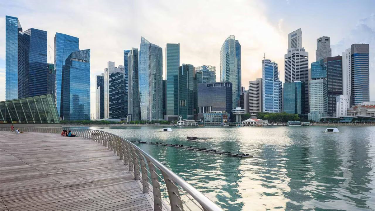 |
The Marina Bay Waterfront Promenade features a boardwalk, with the water and Singapore skyline on one side. Photo: Marina Bay Sands
At night, the outdoor Spectra light and water show takes place at Marina Bay Sands' Event Plaza. This free, 15-minute program combines fountains, lights, lasers, mist effects, and music over the bay. Performances typically run two times from sunday to thursday and three times on friday-saturday.
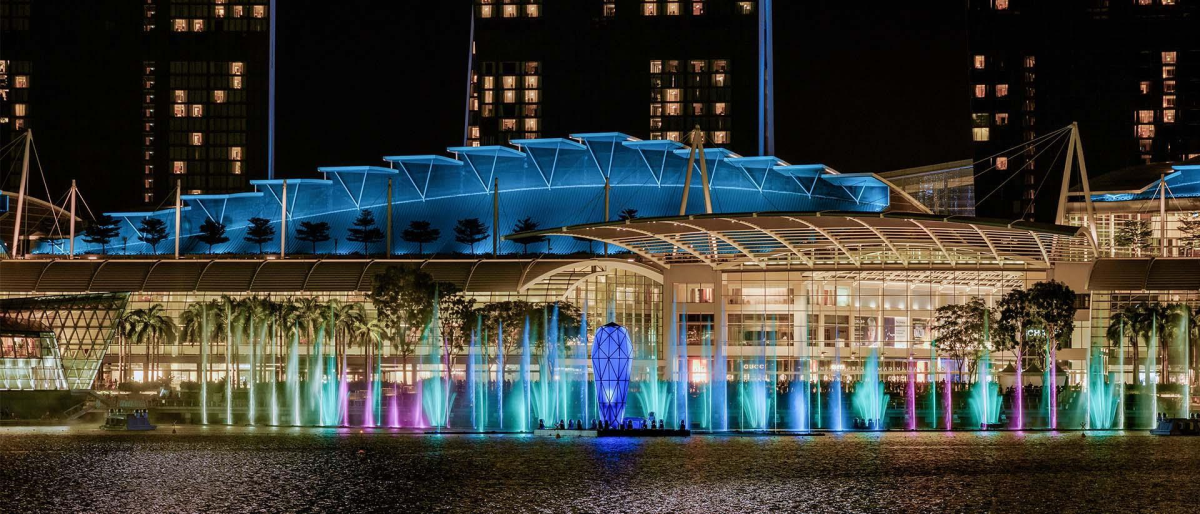 |
The Spectra light and water show at Event Plaza. Photo: Marina Bay Sands
Kayaking amidst the Pulau Ubin mangroves
Pulau Ubin provides a lush natural escape northeast of the main island. The island spans approximately 1,000 hectares, featuring diverse habitats such as mangrove forests, rocky shores, sandy beaches, coastal forests, secondary forests, old plantations, and freshwater lakes. The island also records over 786 native plant species, 242 bird species, 201 butterfly species, and 89 mammal, reptile, and amphibian species. It boasts the largest and most complete range of mangrove plant species ever recorded in the island nation.
One prominent stop on the island is Chek Jawa Wetlands, a 100-hectare wetland area on eastern Pulau Ubin. It hosts 6 distinct ecosystems: sand flats, rocky shores, seagrass lagoons, coral rubble, mangrove forests, and coastal forests, all coexisting within a relatively small space. Visitors can explore the area via a one-kilometer wooden boardwalk winding along the coast and through the mangroves, or ascend the 21-meter Jejawi Tower for a panoramic view of the reserve.
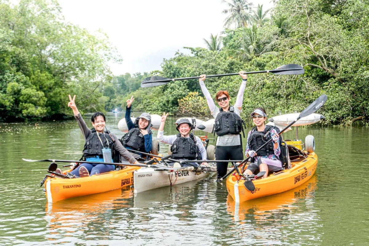 |
Visitors checking in amidst the Pulau Ubin mangroves. Photo: Fever Kayak Adventures
From Changi Point Ferry Terminal, visitors can take a bumboat to Pulau Ubin in just 10-15 minutes. Besides cycling or walking, kayaking offers another perspective to explore the mangrove ecosystem. The kayaking route leads visitors through narrow waterways, where tree canopies cover both banks. From the water, visitors observe the mangrove root systems, the ebb and flow of tides, and various native creatures such as birds, fish, and other characteristic wetland animals.
The experience varies daily with natural conditions, from weather to tidal levels, offering different insights. To protect the ecosystem, visitors are advised to maintain distance from wildlife, refrain from feeding them, and follow organizer guidelines.
From cruising the Singapore River through historic ports, strolling through the modern urban center, to kayaking through the mangrove forests of Pulau Ubin, these water-based experiences offer interesting and distinct views of the island nation. Each activity provides a unique way to discover Singapore, offering opportunities to experience both its urban rhythm and pristine nature.
Thy An