 |
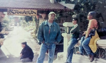
The photo collection garnered thousands of interactions on social media. Many referred to the main subject as a "first-generation backpacker" for traveling across the country when tourism information was still limited. |
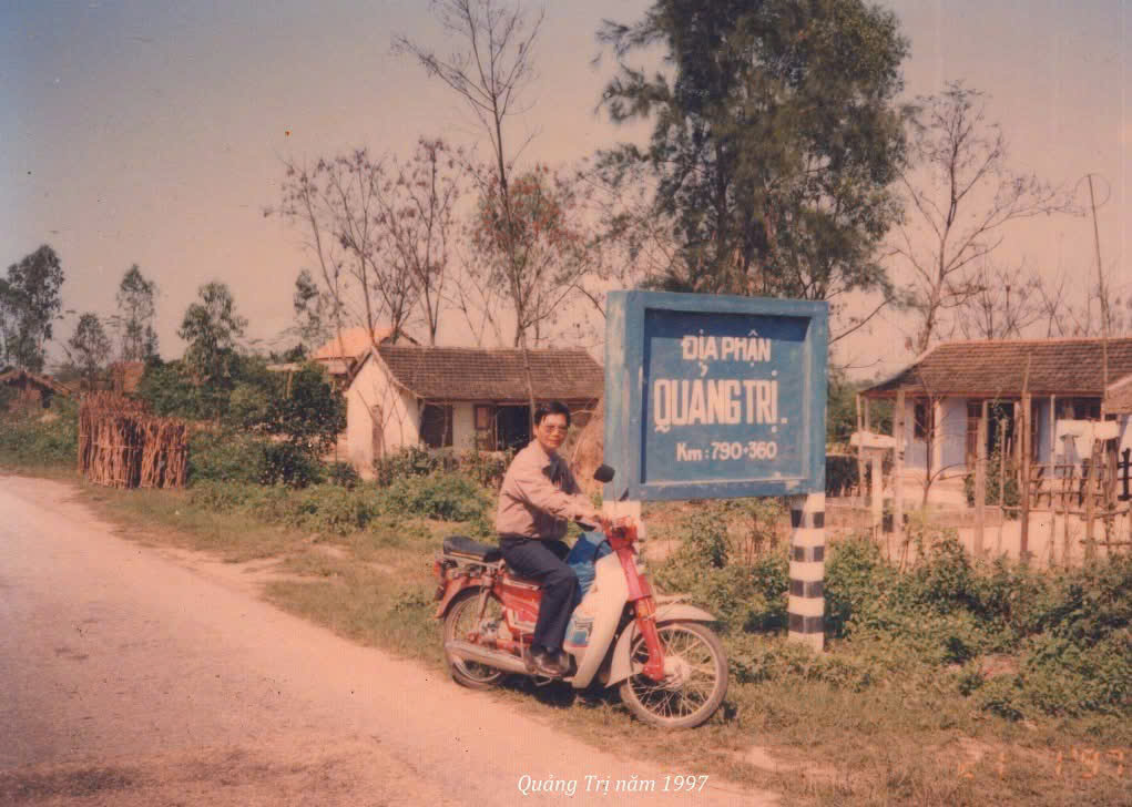
Nguyen Tri Dung, a 77-year-old resident of Can Tho, captured photographs of welcome signs from various provinces and cities during his business trips nearly 30 years ago. He used a Canon travel film camera to document these administrative boundaries as he passed through them.
"I did not store them well, so about one-third of the photos were damaged by humidity, and the film was almost completely ruined", Dung said. He noted that all his preferred photos were laminated for preservation.
 |
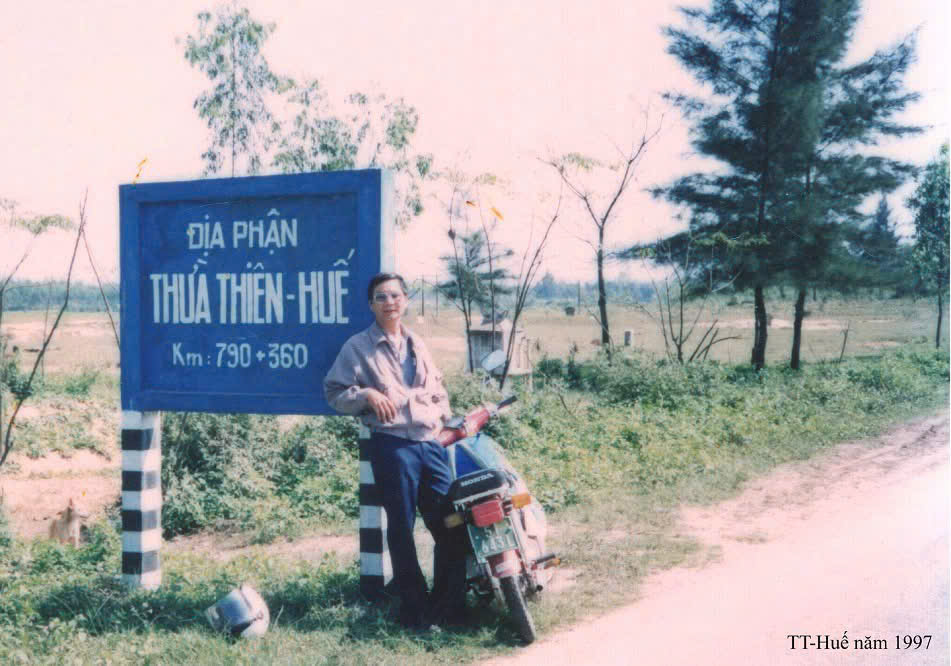
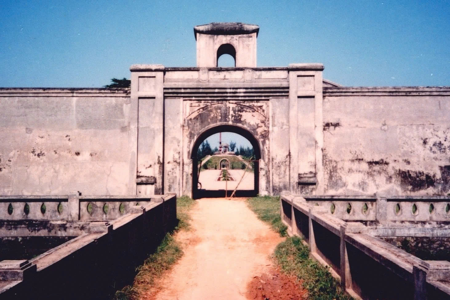
In 1997, Dung visited Quang Tri to see Truong Son Martyrs' Cemetery, Hien Luong Bridge, and Vinh Moc Tunnels. Among these, Quang Tri Ancient Citadel – the site of the 81-day and night battle – left the deepest impression. |
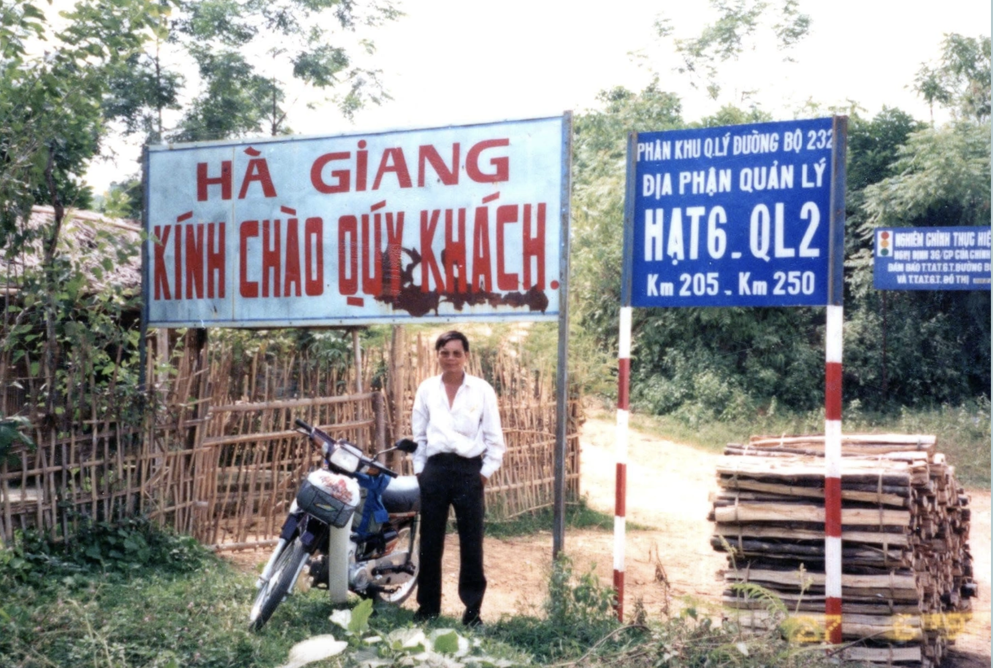
According to Dung, in the late 1990s, travel information was limited. He often had to consult maps and the Road Atlas of Vietnam, then sketch out his route on paper before each journey. Transportation in the northern region at that time presented many challenges, with some sections of national roads so narrow that two moto could barely pass each other.
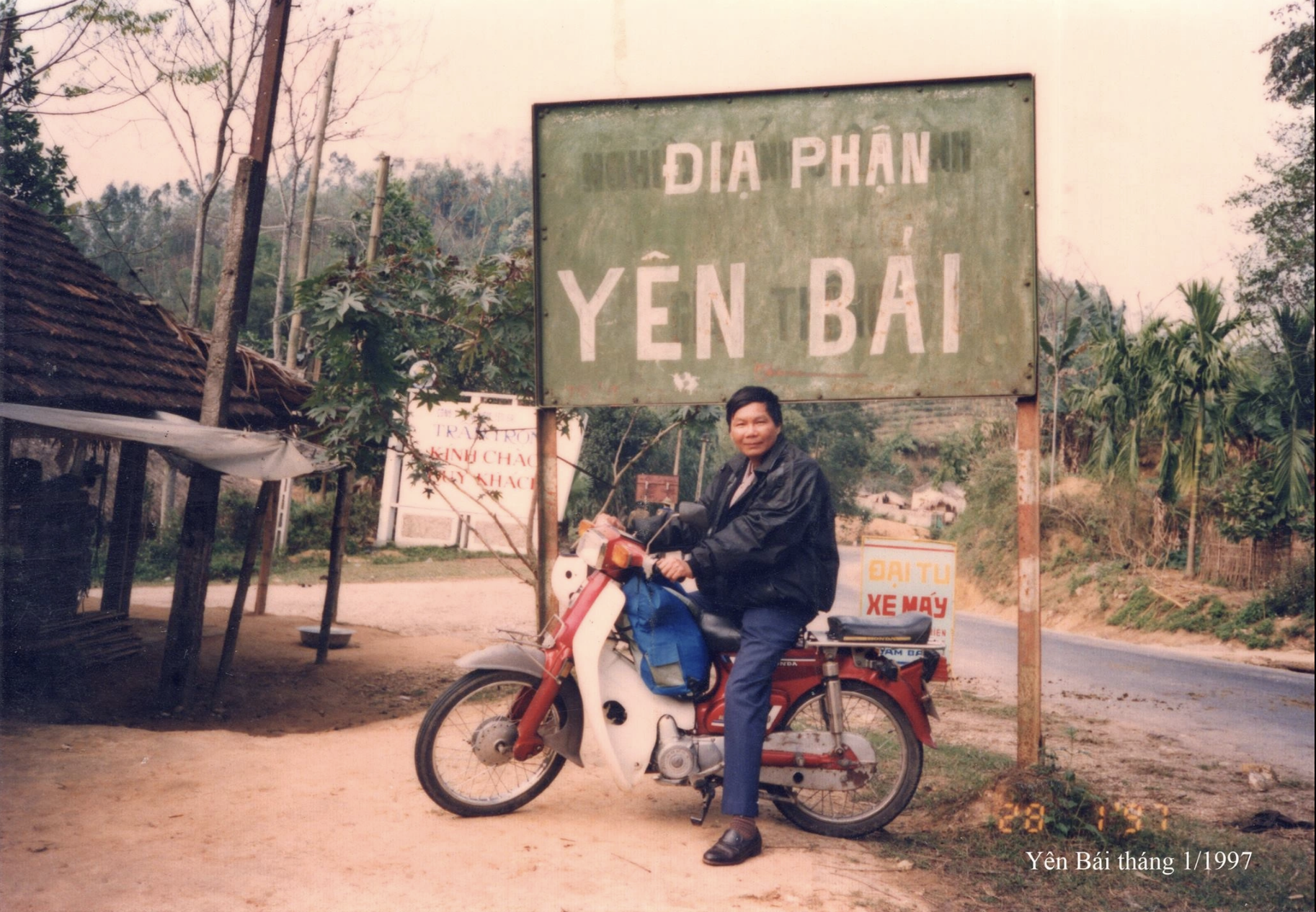
Yen Bai, in the author's memory from three decades ago, had sparse population and difficult roads, taking nearly one day to reach. This locality, along with Lao Cai, was separated from Hoang Lien Son province on 1/10/1991. By 1/7/2025, Yen Bai will merge back with Lao Cai.
 |
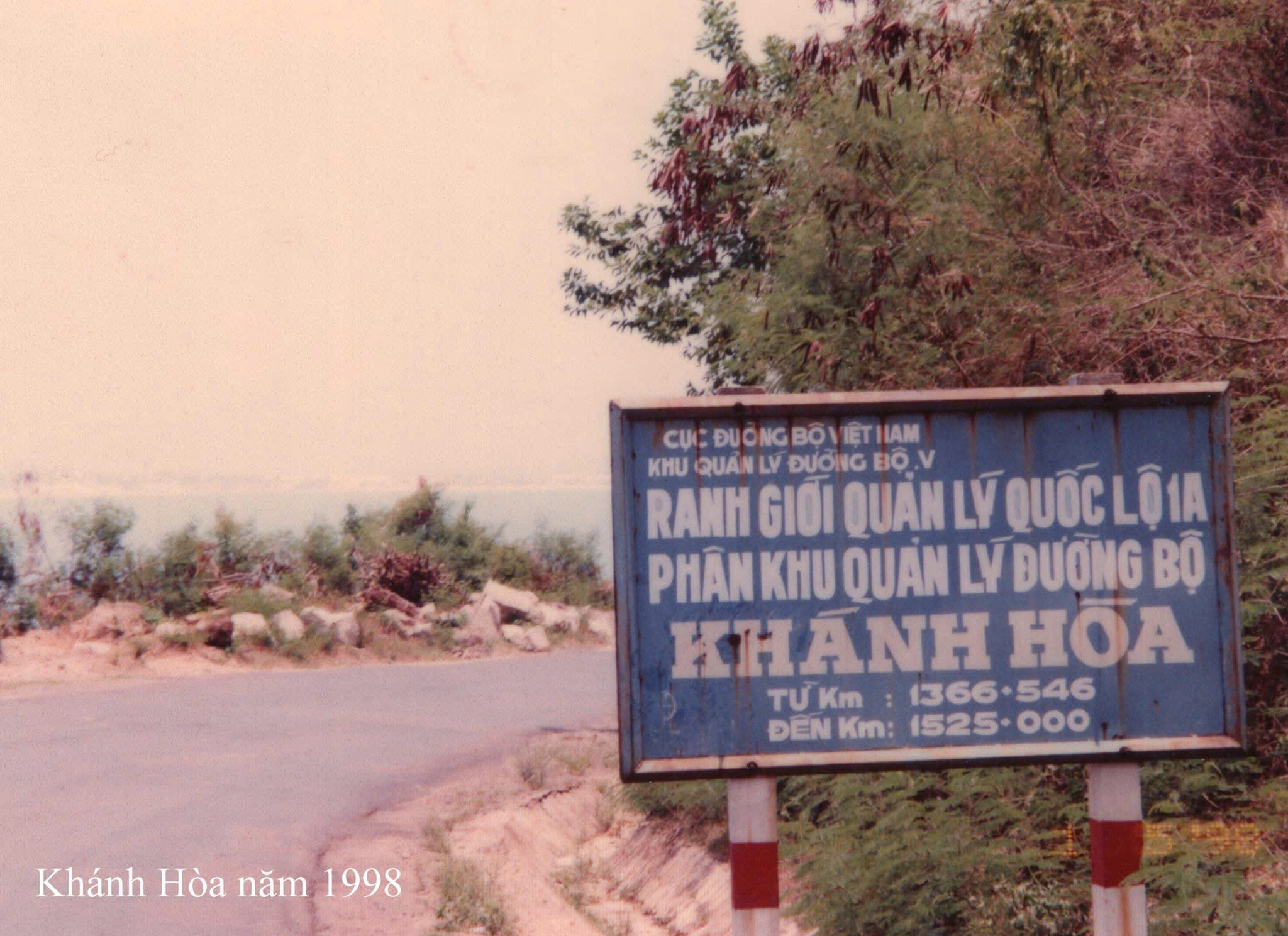
The administrative boundary of Khanh Hoa province at the foot of Deo Ca in 1998. |
 |
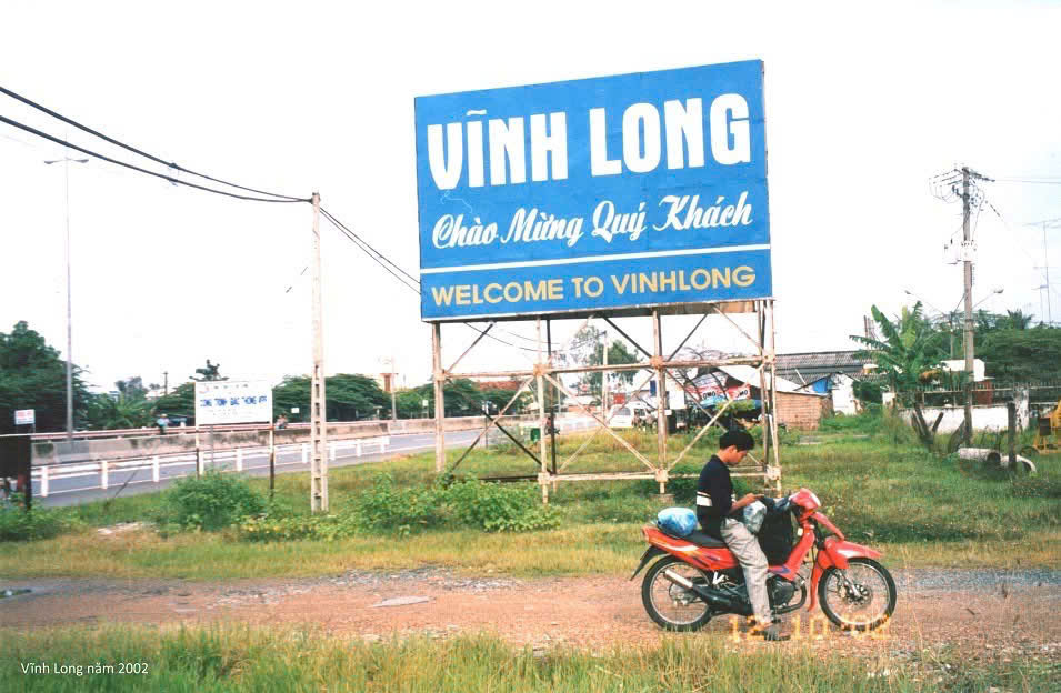
The photo shows the administrative boundary sign of Vinh Long province in 2002, taken on the section passing over My Thuan Bridge, which spans the Tien River. |
 |
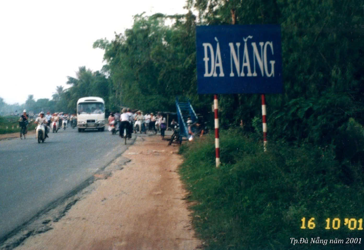 |
Da Nang in the early 2000s, after separating from Quang Nam - Da Nang province in 1997. This photo was taken in 10/2001. Returning after nearly 25 years, the author observed that the city has "transformed", with tourism developing strongly thanks to its coastal advantages.
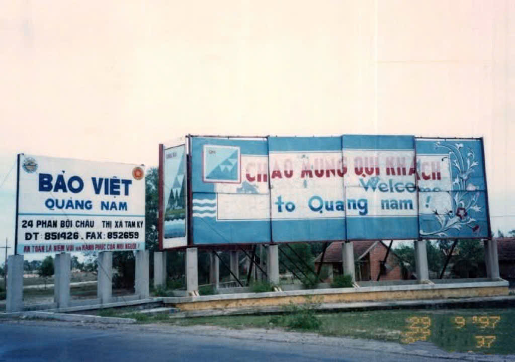 |
The welcome sign of Quang Nam province in 1997.
Dung mentioned that during the 1997-2001 period, hotels or restaurants were rare along the roads. He often ate simple meals at roadside eateries or consumed dry food, and rested at guesthouses.
 |
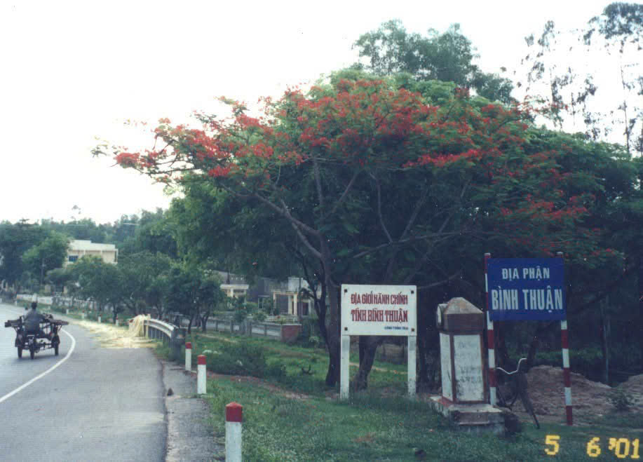 |
"The welcome sign is nearly 1 km from my house; every time I see it, I feel like I'm almost home", Nhat Le commented on a photo of Binh Thuan province's boundary taken in 6/2001. Many others empathized, as the author's photo collection evokes old memories, especially after many provinces and cities have merged and changed names.
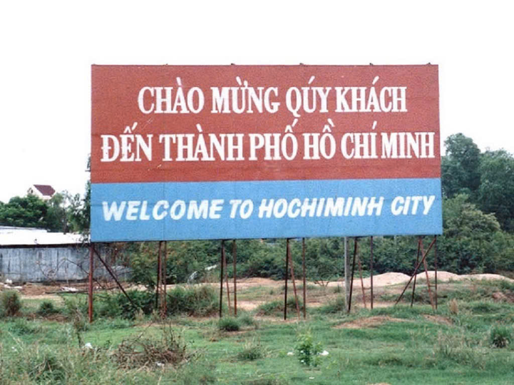 |
Dung photographed Ho Chi Minh City's welcome sign on National Route 1A in 1997, just after passing through Dong Nai province.
On 2/7/1976, during the first session of the National Assembly, 6th Legislature, of unified Vietnam, the National Assembly officially issued a resolution renaming Sai Gon - Gia Dinh city to Ho Chi Minh City.
 |
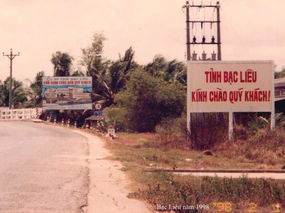 |
Over 140 km from Vinh Long, the welcome sign for Bac Lieu province was photographed by the author in 1998. Bac Lieu has since merged with Ca Mau, adopting Ca Mau as the province's name. After 30 years, the 77-year-old backpacker remains passionate about embarking on new journeys and revisiting places he has been to. "Some places have changed completely; one must accept it, nothing stays the same forever", Dung said.
Tuan Anh