At the Ho Chi Minh City Department of Planning and Architecture's review conference on the afternoon of 13/1, Architect Dinh Le Ha, representing the Architecture Research Center, stated that the city is adjusting its general master plan until 2040, with a vision to 2060.
As part of this, Ho Chi Minh City will review its urban railway network according to the new vision, linking it with administrative boundary expansion and urban development based on the transit-oriented development (TOD) model.
Following the merger with parts of Binh Duong and Ba Ria - Vung Tau, the city has identified approximately 60,000 hectares of potential land for TOD development in both inner-city areas and satellite cities.
This expansion focuses on regional connectivity. The existing Ho Chi Minh City center will see dense, high-density TOD development, integrating underground spaces.
For the areas that were formerly Binh Duong before the merger, TOD is planned to integrate with industry and services. Areas around metro stations extending from Suoi Tien, railway stations, and logistics hubs will form mixed-use urban areas, combining housing for workers, service centers, commercial facilities, and warehousing. The planning goal is to shorten commute times, reduce traffic pressure towards central Ho Chi Minh City, and support industrial production.
In the areas that were formerly Ba Ria - Vung Tau, the TOD model is oriented towards the maritime economy, seaports, and tourism. These TOD zones will develop around axes connecting railways, roads, and seaports, forming coastal service, tourism, and logistics centers. Urban spaces will be organized with appropriate density, enhancing public green spaces and supporting tourism.
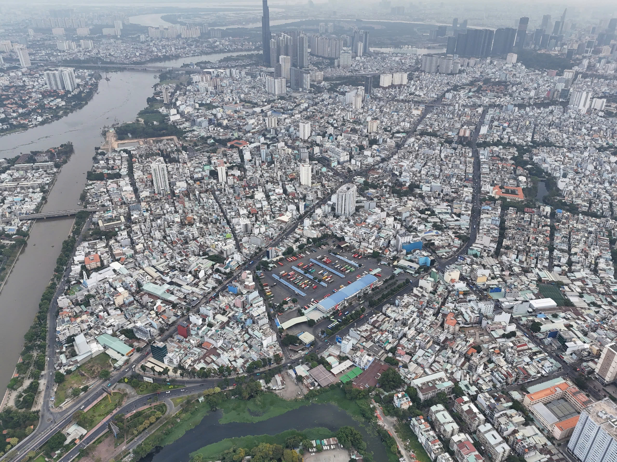 |
The Hang Xanh area is proposed for TOD development. *Photo: Gia Minh*
Previously, the TOD model in Ho Chi Minh City was primarily implemented along metro lines, mostly concentrated on the Ben Thanh - Suoi Tien line 1 corridor and some planned areas of line 2, along with Beltway 3 interchanges.
The legal framework for TOD is complete, featuring many specific mechanisms. Ho Chi Minh City has been empowered by the National Assembly to determine socio-economic and technical indicators in areas surrounding metro stations and Beltway 3 interchanges, which may differ from national standards. The city can also establish, appraise, and adjust TOD plans within its jurisdiction.
Based on this, the urban development model is shifting from sprawling to polycentric and dense urban development. Residential, commercial, and service areas will concentrate at high densities around metro stations and bus rapid transit stops. Planning prioritizes pedestrians and bicycles, increasing green and public spaces, moving towards a "15-minute city" model. This model ensures residents can access all essential amenities within a 15-minute walk or bike ride from public transport hubs.
Regarding the metro system, in addition to metro line 1 Ben Thanh - Suoi Tien, which is already operational, Ho Chi Minh City aims to complete 5 more lines by 2030, increasing the total urban railway length to 187 km, and developing urban areas according to the public transport development model.
Priority projects in this phase include metro line 2 Tham Luong - Ben Thanh – Thu Thiem; metro line 1 extended from Suoi Tien to new Binh Duong City; and metro line 6 phase one connecting Tan Son Nhat Airport with Phu Huu. The city is also investing in two railway lines, Thu Thiem - Long Thanh and Ben Thanh - Can Gio, to enhance inter-regional connectivity.
From 2030 to 2035, Ho Chi Minh City will continue to invest in 8 additional tram lines, totaling 275 km, expanding the railway and metro network to 462 km. In the subsequent 10 years, the city plans to build 5 more lines spanning 239 km, bringing the total network length to approximately 700 km. This will synchronously connect the central area with satellite cities like Binh Duong and Ba Ria - Vung Tau.
After merging with parts of Binh Duong and Ba Ria - Vung Tau, Ho Chi Minh City spans over 6,700 square kilometers. This year, the Ho Chi Minh City Department of Planning and Architecture is focusing on establishing the city's overall master plan. The department is also implementing a series of zoning plans, commune plans, special zones, and functional areas to materialize the adjusted general planning project.
Le Tuyet