This proposal is outlined in a document reviewing the draft Decision of the Prime Minister on location identification.
According to the draft, location identification involves collecting, creating, and uniquely labeling specific locations or positions. This includes information about geographical locations, buildings, agencies, production sites, businesses, service providers, residential areas, infrastructure, and logistics. The goal is to pinpoint the exact location of any place or event associated with land.
The electronic location identifier is a unique code assigned to each location within the geographical space. It has a hierarchical structure, is centrally managed, and shared nationwide to verify and reference locations in related activities.
The identification principle is "one location, one unique identifier," adhering to a unified structure nationwide and avoiding duplication within the entire system. This applies to architectural works, construction projects, building structures, landmarks, or any physical structure attached to land, except for those classified as state secrets in the national defense sector.
The location identifier is a string of characters assigned to a specific location, divided into an "administrative code" and an "identification code." The six-character administrative code includes the province or city code (two characters) and the ward, commune, or town code (four characters).
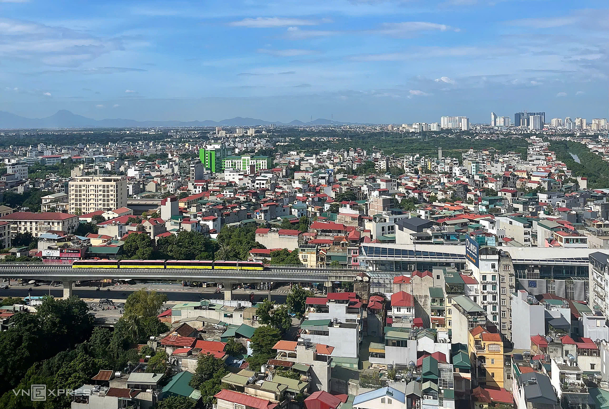 |
Architectural works, construction projects, and landmarks will receive electronic identifiers. Photo: Pham Du |
Architectural works, construction projects, and landmarks will receive electronic identifiers. Photo: Pham Du
Each location identifier includes information such as: the identified object, detailed address, street name, ward and commune address, province, postal code, and coordinates. It also includes additional information on ownership, land use certificates, types of land use, and status (active or inactive).
Locations with multiple entrances from different roads can be assigned multiple identifiers. If there are multiple locations, the "name or identifying sign of the object" field for each location should clearly distinguish them. For example: Gate adjacent to National Highway A, Provincial Road B.
Location identification data is connected, shared, and utilized through the national data platform and the electronic identification and authentication platform. National map data on locations is provided and displayed on the VNeID national identification application, free of charge for individuals and organizations.
The Ministry of Public Security, tasked with building and expected to manage, protect, and operate the location identification system, stated that location is the foundation connecting all management activities, transactions, goods circulation, and service provision for citizens. The key element is the location identification database.
Location identification helps unify information and avoid overlaps in management. With accurate location information, authorities can easily assess population distribution and infrastructure.
=>> Details of the list of objects expected for location identification