Over the past week, northern Vietnam experienced hot weather. Yesterday, Hanoi reached a high of 38,4 degrees C. Many provinces and cities recorded temperatures above 37 degrees C, including: Son La, Phu Tho, Cao Bang, Hai Phong, Hung Yen, and Ninh Binh.
The National Center for Hydro-Meteorological Forecasting announced on the morning of 2/10 that a cold air mass is moving southward. It is expected to reach northeastern Vietnam around the night of 4/10, before extending across all of northern and north central Vietnam, bringing cooler weather. Minimum temperatures in northern Vietnam and Thanh Hoa will generally range from 19-22 degrees C, with high mountainous areas seeing 14-17 degrees C.
In Hanoi, the cold air mass is expected to arrive from early morning on 5/10, causing localized thunderstorms. US-based Accuweather forecasts Hanoi's temperatures today and tomorrow to be between 26-35 degrees C, dropping by 5 degrees to 23-30 degrees C by sunday. High-altitude locations above 1.500 meters, such as Sa Pa (Lao Cai), are predicted to experience temperatures around 11-17 degrees C next monday.
 |
Hanoi in autumn, 10/2025. Photo: Hoang Giang |
From 4/10 to the morning of 5/10, northern Vietnam will experience localized thunderstorms. From the night of 4/10 to 6/10, the thunderstorm area will shift southward to the region from Thanh Hoa to Hue city.
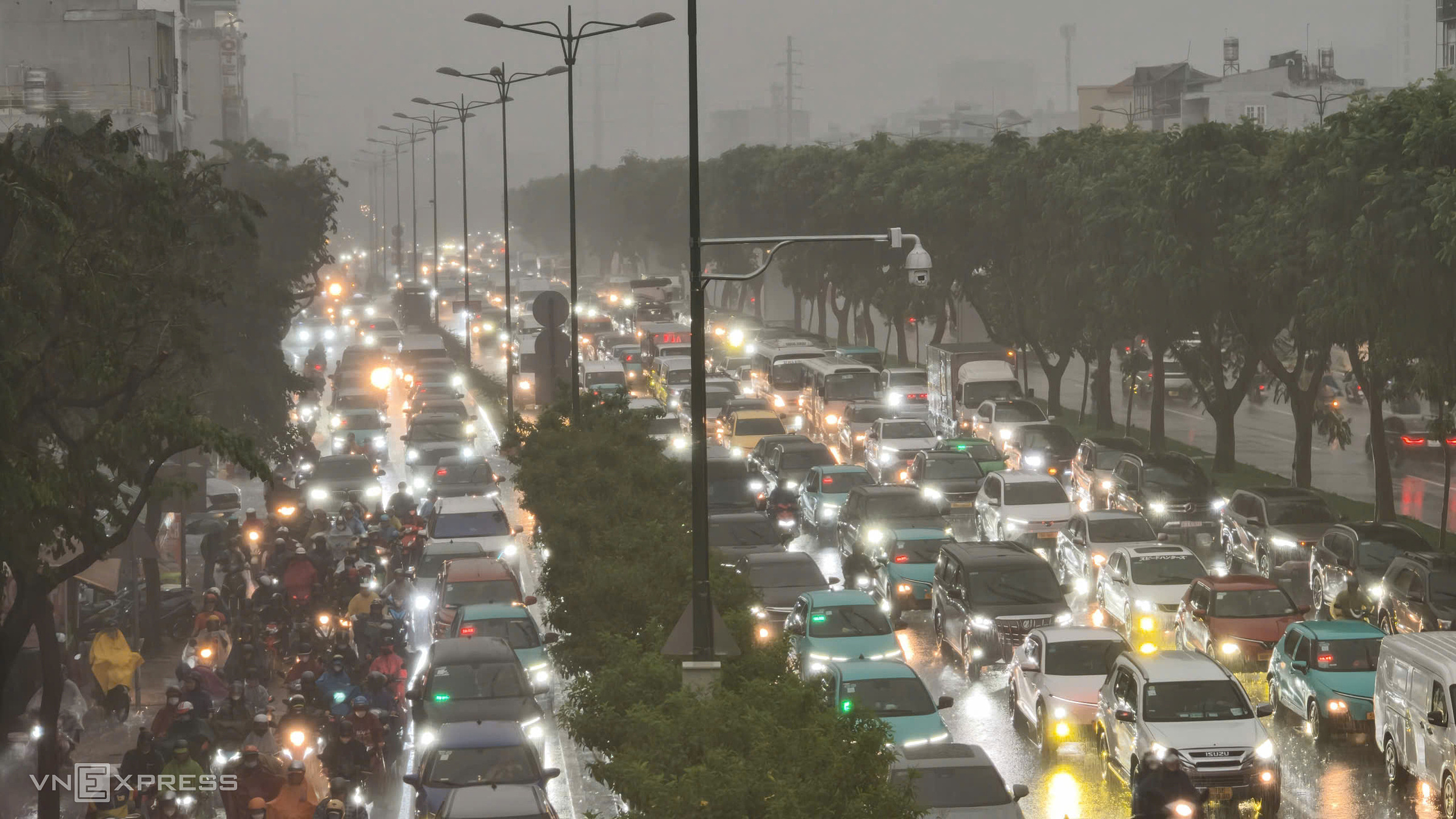
Meteorological agencies advise residents to be wary of: tornadoes, lightning, hail, and strong gusts. Localized heavy rainfall could trigger flash floods in small rivers and streams, landslides on slopes, and inundation in low-lying areas.
Additionally, from early morning on 5/10, northeasterly winds in the Gulf of Tonkin will intensify to force 6-7, with gusts reaching force 8-9, and waves 2-3 meters high. From 5/10, the northern part of the East Sea (South China Sea) will experience northeasterly winds of force 6-7, gusting to force 8, with waves 2-4 meters high. By 6/10, the strong wind area will expand across the entire northern East Sea, including the Hoang Sa (Paracel Islands) special zone.
Strong winds, gusts, and high waves pose risks to vessels and maritime activities. Thunderstorms also threaten agricultural production, potentially felling trees, damaging homes, transportation infrastructure, and other facilities.
>>See more weather forecast information
Gia Chinh