On 19/9, the National Center for Hydro-Meteorological Forecasting announced that in the second week of September, the sea surface temperature anomaly (SSTA) in the central equatorial Pacific (NINO3.4) reached approximately +2 degrees Celsius. This development elevated the 2026-2027 El Nino to a very strong intensity threshold. An El Nino is classified as strong with SSTA from +1,5 to below +2 degrees Celsius; it enters the very strong phase when SSTA reaches around +2 degrees Celsius.
This phenomenon is forecast to continue intensifying, potentially peaking in the final months of the year and maintaining its impact into early 2027. Forecasts indicate El Nino is almost certain to maintain very strong intensity from October-December, with a 98% probability. Into January-March 2027, this phenomenon still has the potential to maintain very strong intensity, but its probability gradually decreases.
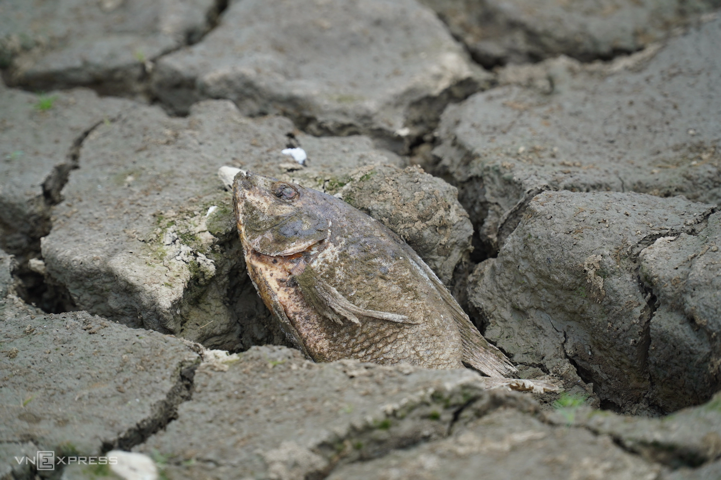 |
Drought in Binh Thuan in 2020. Photo: Viet Quoc |
In Vietnam, a strong El Nino can lead to increased temperatures, heatwaves, drought, and water scarcity, especially during the dry season. Changes in atmospheric circulation may also affect rain distribution and the activity of typhoons and tropical depressions.
The meteorological agency forecasts that from now until the end of the year, the number of typhoons and tropical depressions in the East Sea affecting mainland Vietnam will be lower than the multi-year average. However, fewer typhoons do not mean there will be no strong typhoons; less widespread rain also does not rule out extreme rainfall events, floods, flash floods, and landslides.
During the 2026-2027 winter, cold air tends to be weaker than normal. Intense cold spells are likely to appear later and be less frequent, while the average temperature nationwide is forecast to be 1-2,5 degrees Celsius higher than the multi-year average. Entering early 2027, heatwaves may appear early across the country. During summer, heatwaves could be stronger and more prolonged, with more hot days than the multi-year average and 2026; temperatures could potentially exceed historical values.
Along with high temperatures, rainfall from now until the end of 2026 is expected to be deficient in most parts of the country. This deficiency will be more pronounced in the South Central Coast, Central Highlands, and Southern regions, generally 20-40% below average. The rainy season in these areas is likely to end early, followed by continued low rainfall in the early months of 2027.
High temperatures and early heatwaves will increase water demand and evaporation. This raises a very high risk of drought, water scarcity, and saltwater intrusion in the 2026-2027 dry season for the South Central Coast, Central Highlands, and Southern regions.
The meteorological agency notes that El Nino is a large-scale climate phenomenon, and this signal alone cannot accurately predict a specific natural disaster in each locality. The extent of impact depends on El Nino's interaction with atmospheric and oceanic systems, and specific weather patterns. With El Nino already reaching a very strong threshold, localities need to prepare for two simultaneous risk categories: heavy rain, typhoons, floods, and extreme phenomena at specific times; alongside prolonged heatwaves, drought, water scarcity, and saltwater intrusion during the 2026-2027 dry season.
Gia Chinh