Ho Chi Minh City experienced widespread heavy rain on the afternoon of 30/9, with the most intense period occurring between 5 PM and 5:45 PM. According to the Center for Traffic Management and Technical Infrastructure, Ho Chi Minh City Department of Construction, rain began around 4:30 PM.
The highest rainfall was recorded in several areas: Ben Cat 101 mm, An Phu 100 mm, Thuan An 98 mm, Thu Duc 108 mm, Pham Van Coi 79 mm, Le Minh Xuan 136 mm, Hoc Mon 72 mm, and Binh Chanh 81 mm.
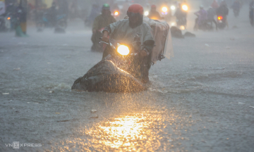
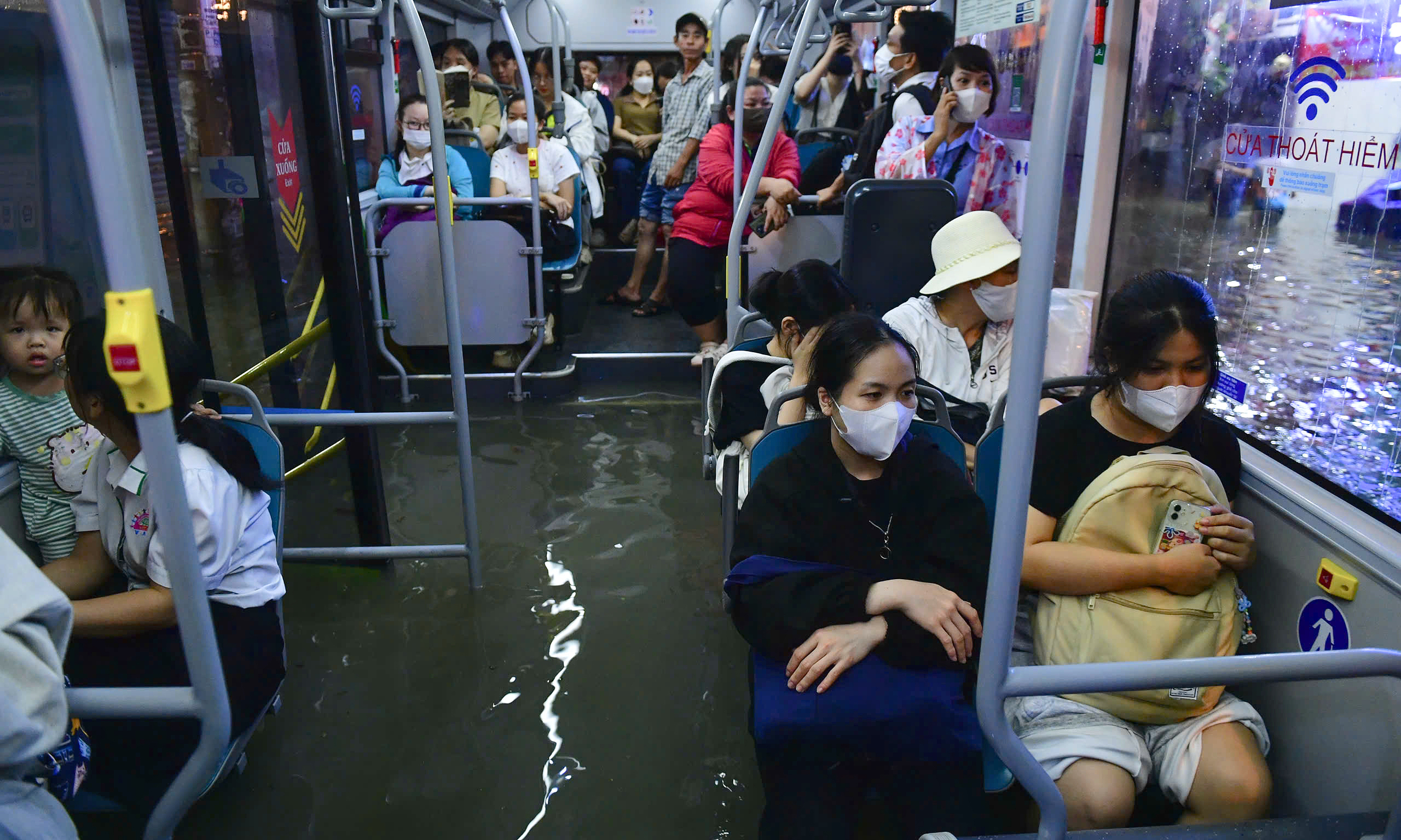
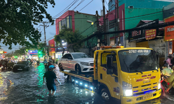
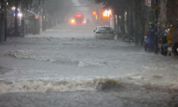
Among at least 12 deeply flooded streets, Phan Huy Ich, located in the former Tan Binh district, was one of the most severely affected. Many sections saw water over one meter deep, paralyzing traffic. Water inundated a bus, shops, and homes, significantly impacting daily life and businesses in the area.
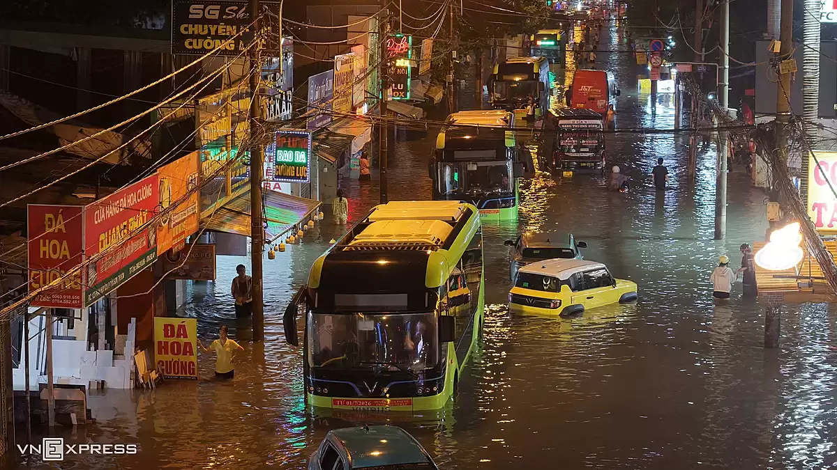 |
Vehicles stalled en masse due to flooding on Phan Huy Ich street, on the evening of 30/9. *Photo: Thanh Tung* |
Specialized agencies assessed the flooding on Phan Huy Ich street on the afternoon of 30/9 as more severe than in previous years. A primary reason identified was the impact of the ongoing construction of the Tham Luong - Ben Cat - Rach Nuoc Len canal renovation project.
Dredged material accumulated in the canal bed, narrowing the flow. During heavy rain, water levels in the canal rose, flowing backward into the drainage system and reducing drainage capacity. Phan Huy Ich street is over 2.5 km long, running through the former Go Vap and Tan Binh districts, with some sections about 200 m from the Tham Luong - Ben Cat canal. The canal renovation faces difficulties in managing the dredged mud and soil, estimated at about 3.3 million m3, due to a lack of reception sites. The canal bed has not been fully cleared, and some locations require temporary storage, affecting the area's drainage capacity.
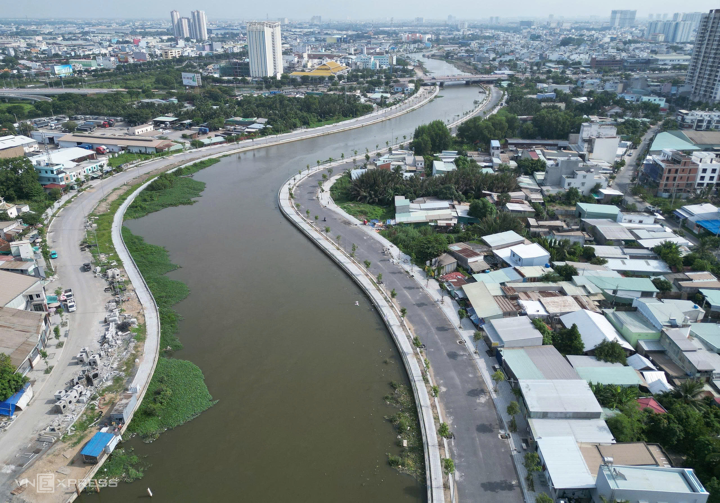 |
A section of the Tham Luong - Ben Cat canal in the former Go Vap area undergoing renovation, 8/2026. *Photo: Giang Anh* |
In addition to Phan Huy Ich, at least 12 other streets recorded severe flooding, primarily in the city's northwest and the Tan Son Nhat gateway area. These included Nguyen Van Qua, Phan Van Hon, Phan Anh, Quang Trung, Pham Van Chieu, Nguyen Van Khoi, Le Duc Tho, Ho Hoc Lam, Ten Lua, the National Highway 22 parallel road, and Ba Trieu. In the former Thu Duc City, To Ngoc Van, Linh Dong, and Tang Nhon Phu streets were also submerged after the rain.
To mitigate flooding, the Center for Traffic Management and Technical Infrastructure stated it is operating mobile and fixed pumping stations to support the drainage system. Large tidal control gates, such as Nhieu Loc - Thi Nghe, Binh Loi, Binh Trieu, and Rach Lang, are also being operated to control water levels in the canals. Public service units are increasing their standby forces to handle flooding and assist with traffic diversion during heavy rain or high tides.
 |
A group of Thang Long High School students leaving school just as the street was deeply flooded. *Photo: Thanh Tung* |
At locations affected by the project's construction, the unit stated it is coordinating with relevant parties to inspect sites and address issues that reduce drainage capacity. Ho Chi Minh City currently has 159 regularly flooded spots, including 76 in the former Ho Chi Minh City area, 52 in the former Binh Duong, and 31 in the former Ba Ria - Vung Tau.
This year, the city aims to complete 9 projects to resolve three severely flooded areas on Phan Van Hon street, Binh Quoi, and the National Highway 51 - Huynh Thuc Khang intersection. The Department of Construction also advised the Ho Chi Minh City People's Committee to issue a drainage and anti-flooding plan for the 2026-2030 period to continue addressing the remaining flooded areas.
Giang Anh