Under the Capital Master Plan with a 100-year vision, underground space will evolve from isolated structures into an integrated network. This network will connect with existing urban centers, transit-oriented development (TOD) areas, and the urban railway system. The objective is to create an urban structure that operates vertically rather than just expanding horizontally, establishing key underground centers linked by a strategic tunnel system.
The exploitation of underground space will be planned across different depth layers to ensure scientific rigor and safety. The 0-15 meter layer is primarily designated for daily civilian needs and urban infrastructure, including pedestrian walkways, underground parking, utility pipeline systems, and elements supporting the urban railway.
At depths of 15-30 meters, underground space will accommodate technical and strategic facilities. These include deep-level urban railway lines, disaster prevention systems, energy and strategic material storage, comprehensive utility tunnels, and structures requiring specialized environmental and climate control.
The 30-50 meter deep layer is reserved for core infrastructure. This comprises large-scale underground water reservoirs, critical technical infrastructure axes, and facilities serving national defense and security. Areas deeper than 50 meters are identified as strictly reserved resource zones, not slated for exploitation within the current planning horizon.
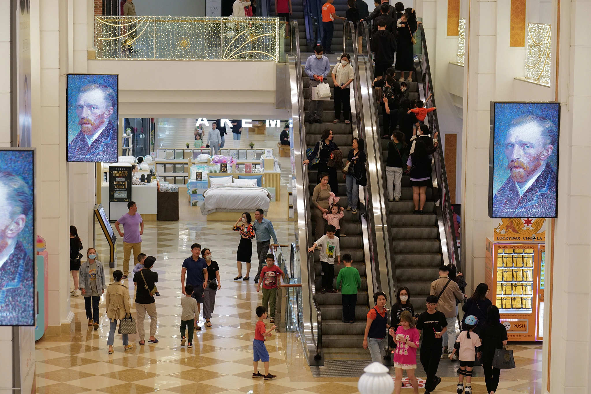 |
People shop at an underground commercial center in Hanoi. Photo: Hoang Phong
In addition to depth stratification, Hanoi also categorizes underground space development based on regional characteristics. Historical centers and densely built areas are prioritized for extensive development, as surface space cannot meet demand. New urban areas and expansion zones will have integrated underground space planning from the outset. Transport corridors will reserve land for future urban railway systems and traffic tunnels.
Conversely, underground construction will be restricted or prohibited in historical sites, heritage areas, geologically unstable zones, and national defense-security protection areas. This ensures structural safety and preserves cultural value.
According to the development orientation, the area south of the Hong River will focus on developing underground transport and large-scale parking facilities, connecting functional zones with a system of technical tunnels. The area north of the Hong River will prioritize the construction of underground transfer halls, underground commercial streets, and reserved space for cross-river tunnels to enhance inter-regional connectivity.
Long Bien and Gia Lam are slated for smart underground space models, integrating technical infrastructure with data centers and urban operating systems. This model will also apply to sports and cultural urban areas. Meanwhile, in satellite cities like Son Tay, Hoa Lac, Xuan Mai, and Phu Xuyen, underground infrastructure will primarily serve parking, technical networks for high-tech zones, and high-performance computing facilities.
The implementation roadmap is divided into four phases. From 2026 to 2035, Hanoi will focus on completing the legal framework, management mechanisms, and master plan for underground space development. During the 2035-2045 phase, the city aims for underground construction in central areas to reach at least 20% of urban construction land, while enhancing connectivity between spatial layers both horizontally and vertically.
By the 2045-2065 phase, this proportion is projected to increase to 35-40%, alongside significant development of commercial, service, logistics, and large-scale underground parking functions. After 2065, the focus will shift to managing, operating, and optimizing the system with digital technology, moving towards a complete "second urban layer" underground, effectively managed through modern technology platforms.
Son Ha