The Hanoi People's Committee has approved the plan and alignment for national highway 1, at a 1:500 scale, covering the section from ring road 1 (Kim Lien tunnel) to the Cau Gie interchange.
This approved plan narrows the project's scope compared to the initial proposal passed in principle by the city People's Council in late January. The starting point has shifted from the beginning of Le Duan road to the Kim Lien tunnel, reducing the number of affected wards and communes from 21 to 18.
Specifically, the route will traverse the following wards and communes: Kim Lien, Bach Mai, Phuong Liet, Tuong Mai, Dinh Cong, Hoang Mai, Hoang Liet, Yen So, Dai Thanh, Thanh Tri, Ngoc Hoi, Thuong Tin, Hong Van, Thuong Phuc, Chuong Duong, Phu Xuyen, Chuyen My, and Dai Xuyen.
 |
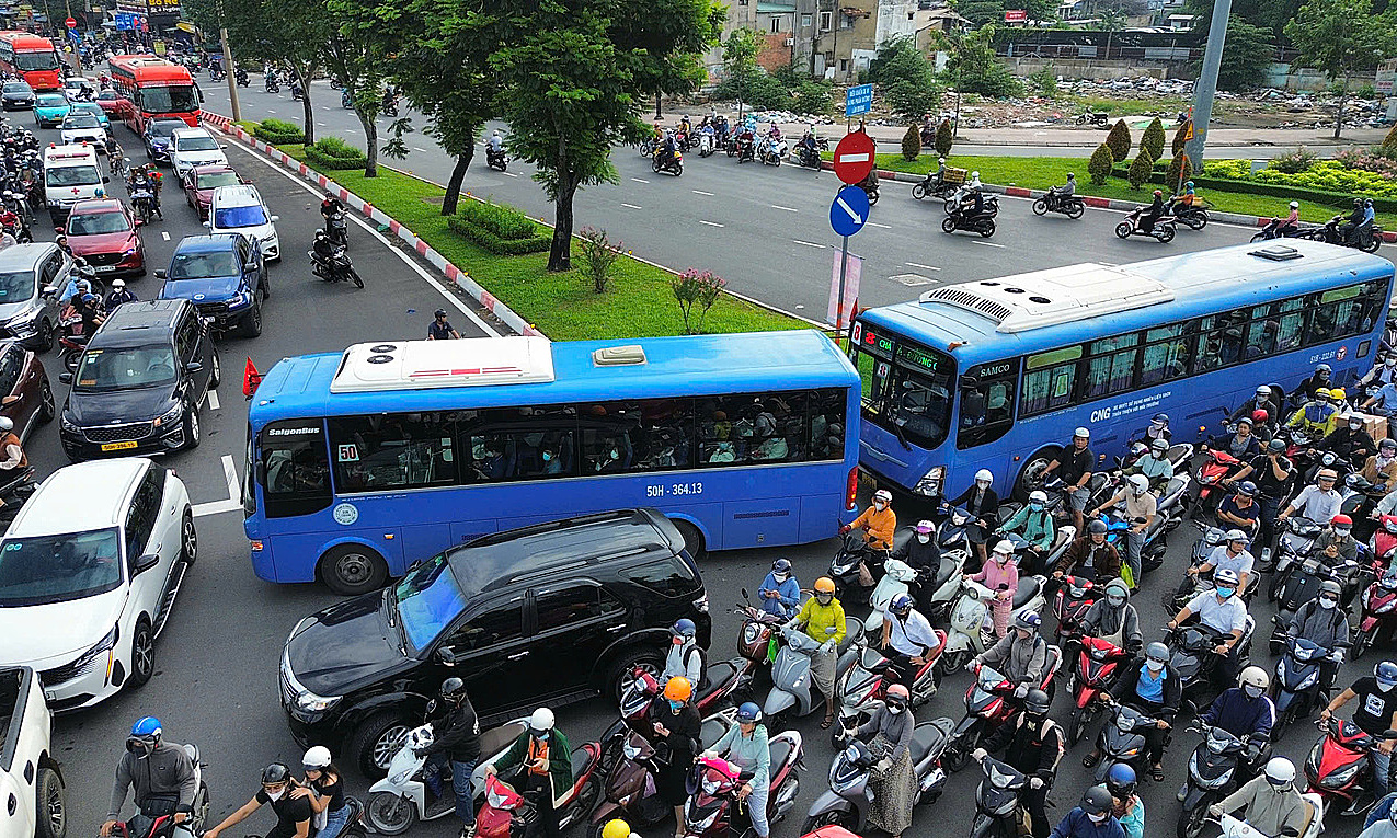
Giai Phong road, the beginning section of national highway 1. *Photo: Pham Chieu*. |
The starting point is at the interchange with ring road 1 (Kim Lien tunnel), and the end point is at the Cau Gie interchange (Dai Xuyen commune). The route largely follows the existing road; however, the section through Phu Xuyen station will be realigned to deviate from the current path, utilizing land from the station after the national railway line is relocated.
The main road will be 39,5 m wide with 10 lanes. Additionally, there will be two service roads, each 23 m wide with three lanes, central medians (7,5 m), side medians (2 m), and sidewalks on both sides (18 m). Some sections will undergo localized widening to meet traffic organization requirements and adapt to existing conditions.
The route will feature 11 main interchanges: with ring road 1 (start of the route), ring road 2, ring road 2,5, road 70, ring road 3, ring road 3,5, ring road 4, provincial road 427 (Cau Duong Truc Nguyen), the main traffic axis of the Olympic sports urban area, ring road 4,5, and the Cau Gie interchange (end of the route).
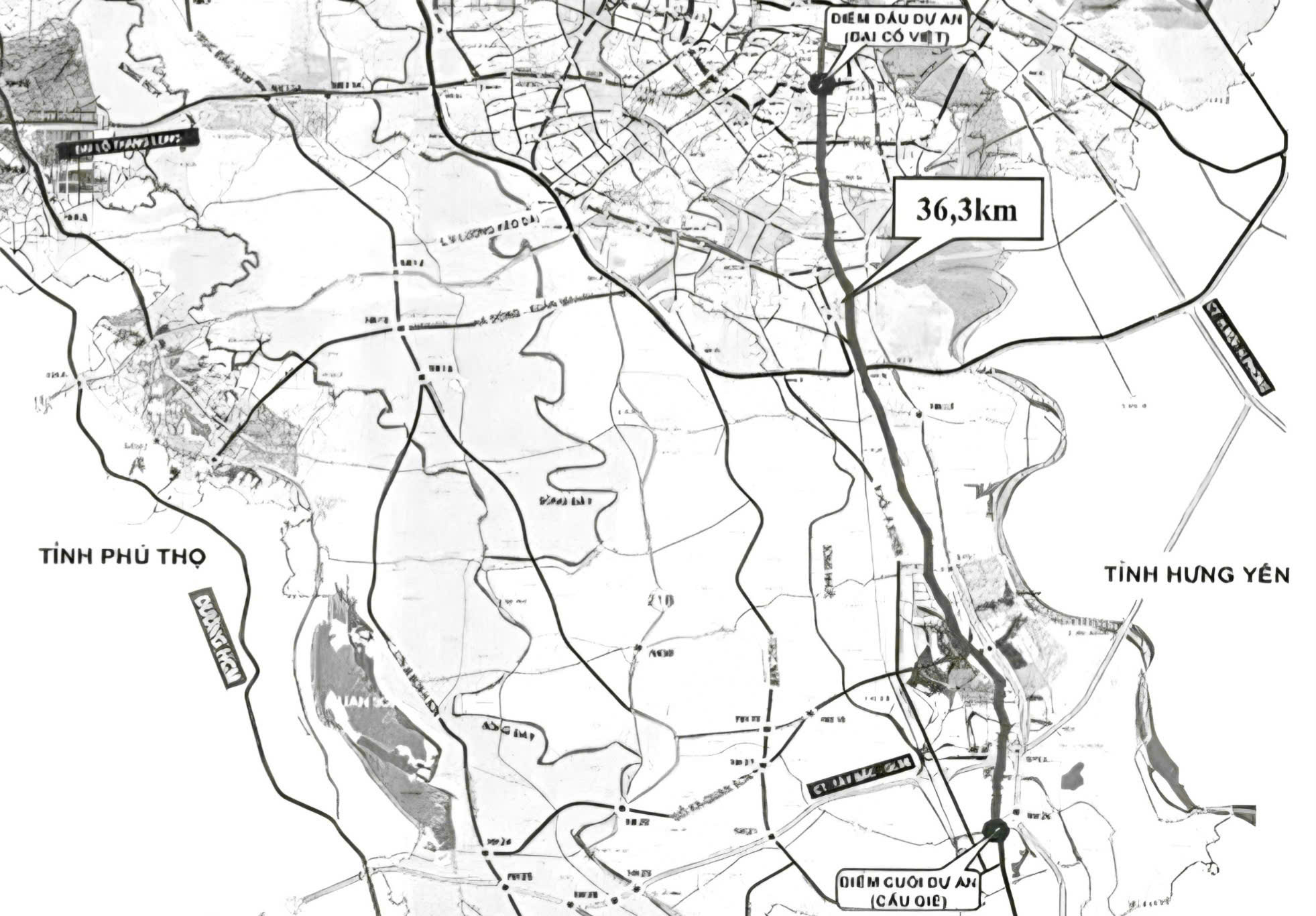 |
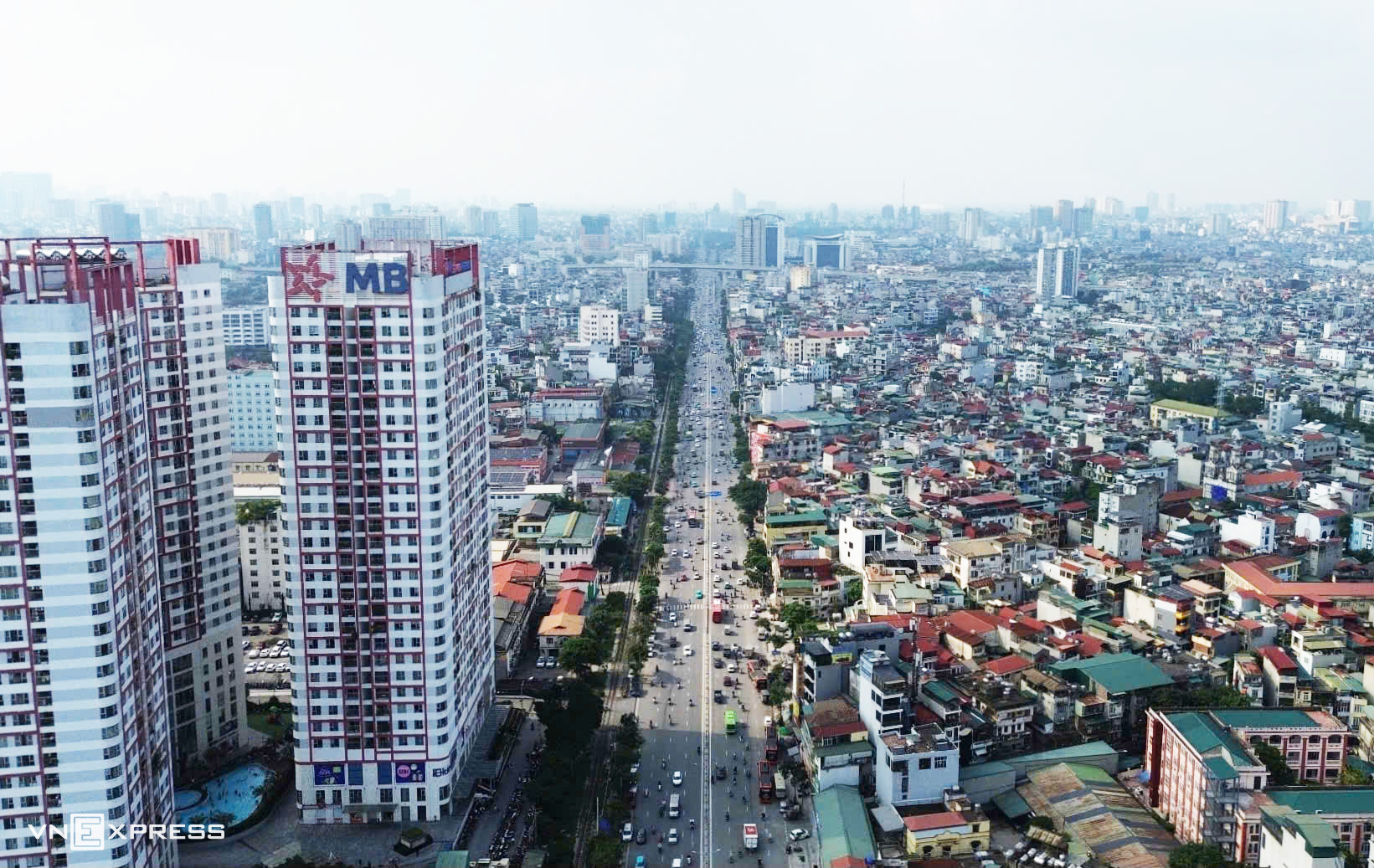
The bold black line indicates national highway 1. |
The Department of Planning and Architecture is tasked with verifying the approved plan and alignment of the road. It will also lead efforts, in coordination with relevant units, to propose controls for spatial planning along both sides of the route. Furthermore, the department will organize the creation of sub-division planning and detailed planning for sections on both sides of the road, ensuring consistency with the Capital's overall master plan with a 100-year vision.
Local People's Committees in the wards and communes are responsible for managing architectural planning and issuing construction permits for structures along the approved route. They will also inspect and address any planning violations.
Vingroup Group is responsible for leading and coordinating with the People's Committees of the wards and communes through which the road passes, along with other relevant units, to announce the 1:500 scale plan and alignment. The group will also finalize the design plans for interchanges with ring roads and urban axes, submitting them to the Department of Construction for review.
Previously, on January 27, the Hanoi People's Council approved in principle some policies for implementing the national highway 1 spatial axis project, combined with urban embellishment and redevelopment. This project operates under a public-private partnership (PPP) model, specifically a build-transfer (BT) contract.
The project aims to establish a modern arterial road that meets current technical standards, facilitating travel between central Hanoi and major southern urban areas. It also seeks to enhance connectivity between the capital and neighboring provinces. The route is expected to contribute to urban restructuring along national highway 1 and foster socio-economic development in the region.
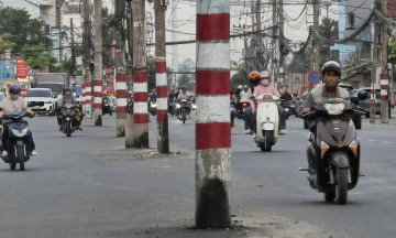
Currently, the section through the inner city has a cross-section of 30-40 m. From Van Dien station to the Hanoi - Ninh Binh border, many sections of the road are narrow, with some being widened to approximately 40 m. Unimproved sections are only 10-15 m wide, accommodating two to four lanes.
Vo Hai