The National Center for Hydro-Meteorological Forecasting announced that the northern region, excluding Lai Chau and Dien Bien, will experience thunderstorms from the night of 16/4 until the end of 17/4. Rainfall is expected to be 20-40 mm, with some localized areas receiving over 100 mm.
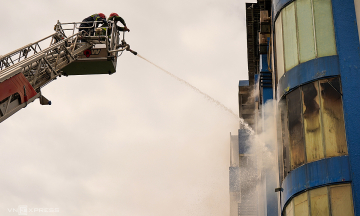
These thunderstorms could bring tornadoes, lightning, hail, and strong gusts, risking uprooted trees and damage to homes, transportation infrastructure, and other facilities. Local heavy rainfall may also trigger flash floods in small rivers and streams, landslides in hilly areas, and inundation in low-lying regions.
 |
Thunderstorms in Thuong Bang La commune, Lao Cai in 3/2026 uprooted many trees. *Photo: Thuong Bang La commune*. |
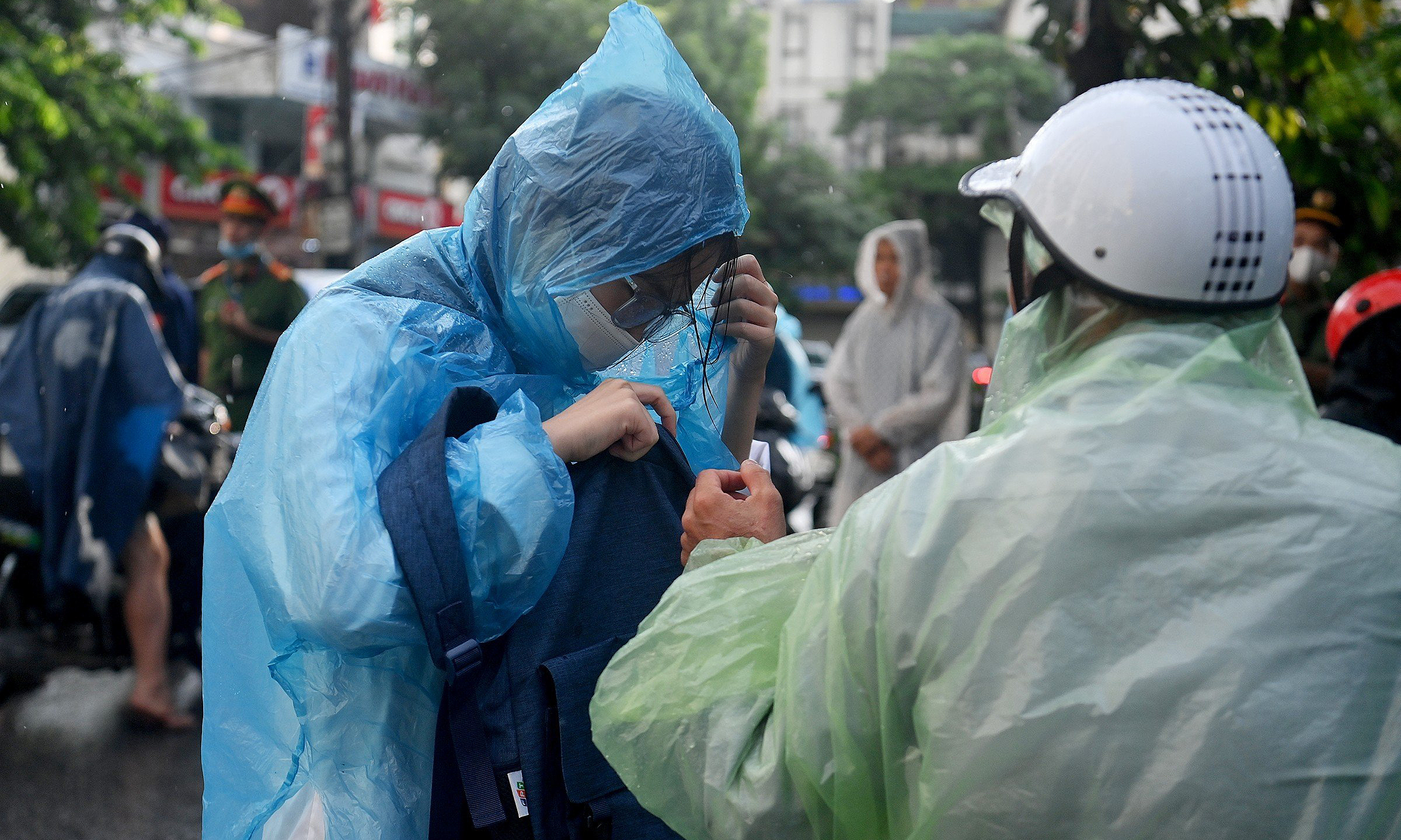
Thunderstorm forecasts are only possible 30 minutes to three hours in advance, with 70-90% accuracy. Meteorological agencies advise residents to closely monitor weather bulletins, limit outdoor activities during storms, and proactively secure homes, property, and vehicles to minimize damage.
From 17/4, the northern region and Thanh Hoa will experience cooler weather, ending the current heatwave. US-based Accuweather forecasts Hanoi temperatures of 26-34 degrees Celsius, dropping to 23-26 degrees Celsius by friday. High-altitude areas above 1,500 meters, such as Sa Pa, Lao Cai, will see temperatures of 15-21 degrees Celsius.
Meanwhile, the central region, particularly from Quang Tri to Da Nang and the eastern parts of provinces from Quang Ngai to Dak Lak, will continue to experience intense heat. Some areas will reach 36-39 degrees Celsius, with temperatures exceeding 39 degrees Celsius on 15-16/4. From 17/4, the heat in these areas is expected to gradually subside.
Gia Chinh
>>See detailed 7-day temperature forecast here.