 |
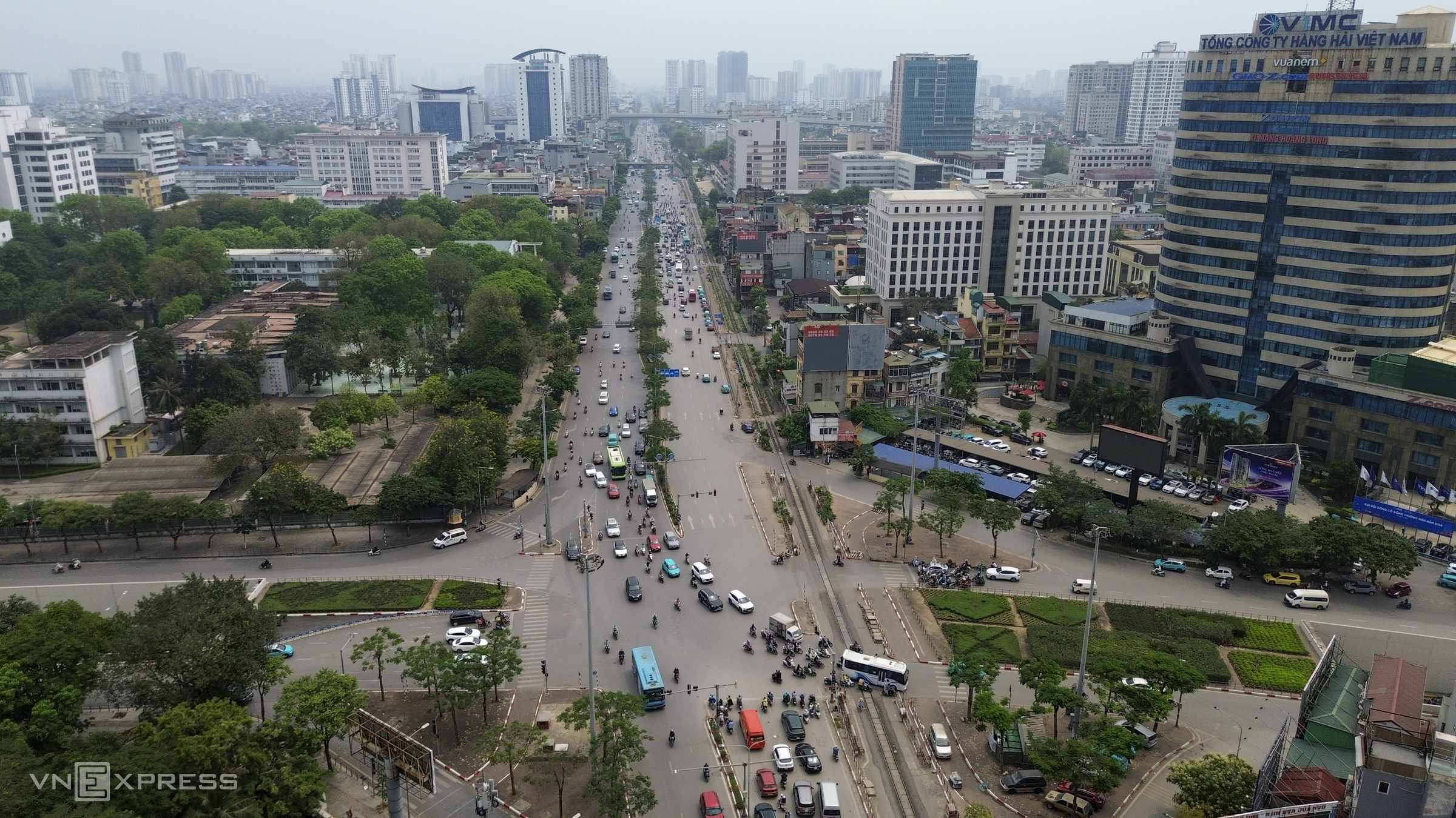
The Hanoi People's Committee (UBND) recently approved a plan to expand National Highway 1 to 10 lanes. The 36,3 km section passes through 18 communes and wards, starting from Kim Lien tunnel (Kim Lien ward) and ending at Gie bridge interchange (Dai Xuyen commune). Pictured is the Kim Lien tunnel intersection, an area with high daily traffic volume.
Giai Phong street, passing Bach Mai Hospital, is about 40 m wide with five lanes. Vong intersection overpass, Kim Lien ward. Vong intersection is a modern three-level interchange, featuring the elevated Dai La - Truong Chinh expressway, an overpass on Giai Phong street, and the ground-level roads.
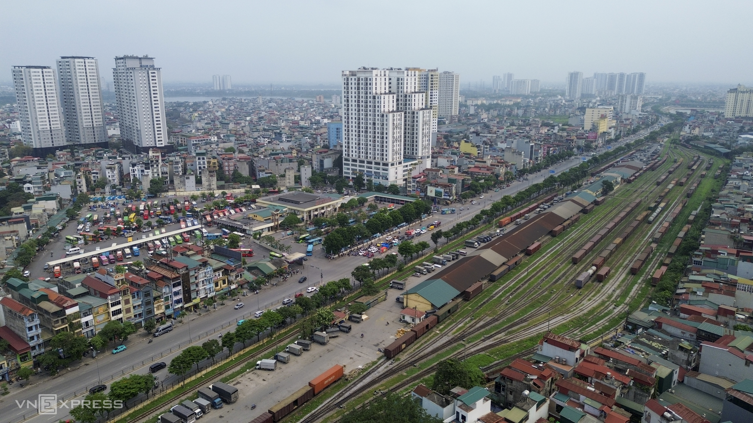 |
The route passes through Giap Bat station, Giap Bat bus terminal, and Nuoc Ngam bus terminal. From here, passenger buses travel to many provinces such as Hung Yen, Ninh Binh, Thanh Hoa, Nghe An, Ha Tinh, among others.
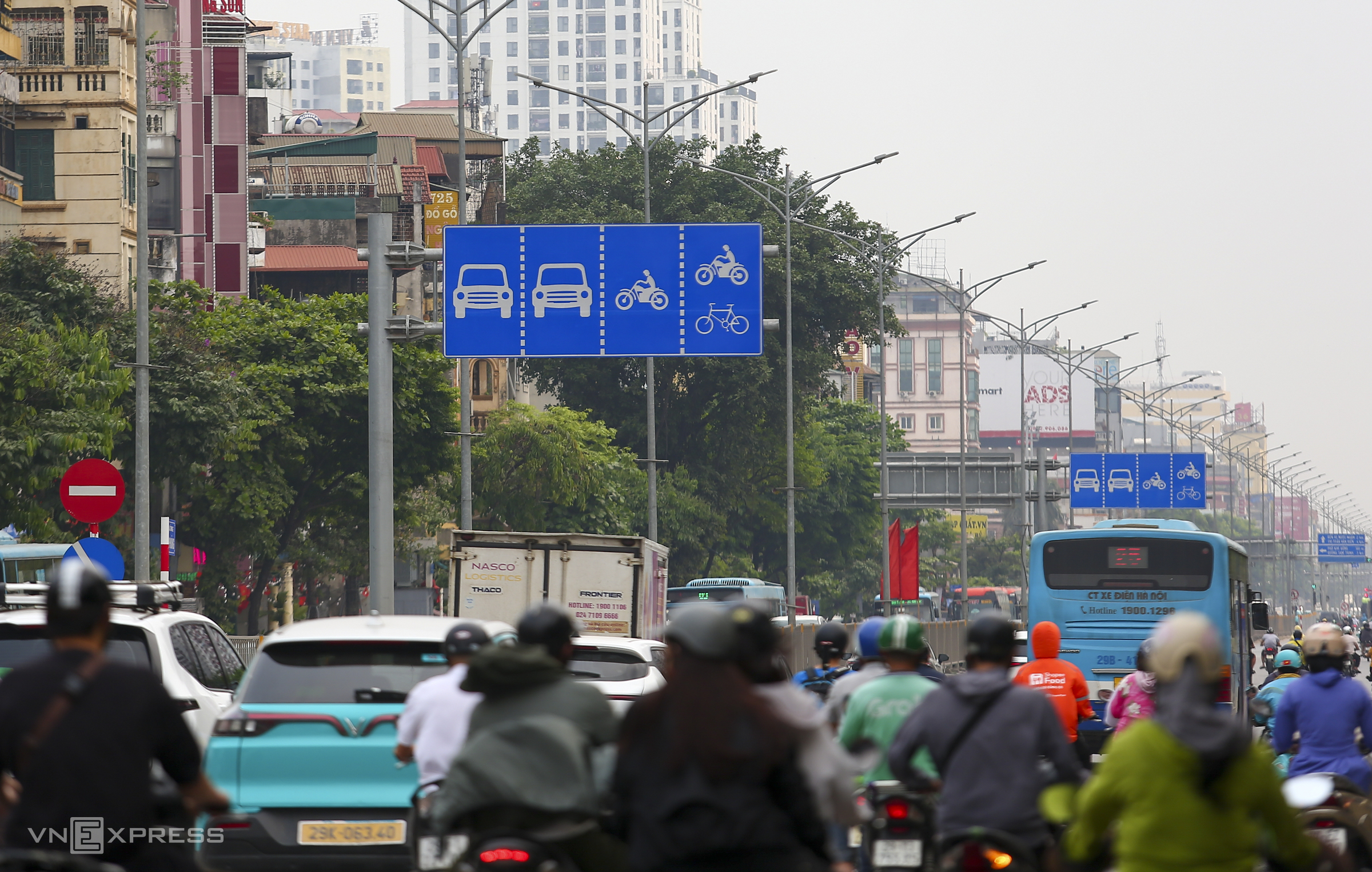 |
National Highway 1, specifically the Giai Phong street section, is currently one of the few roads in Hanoi with separate lanes for cars, motorbikes, and bicycles. However, due to high traffic density, vehicles often encroach on other lanes.
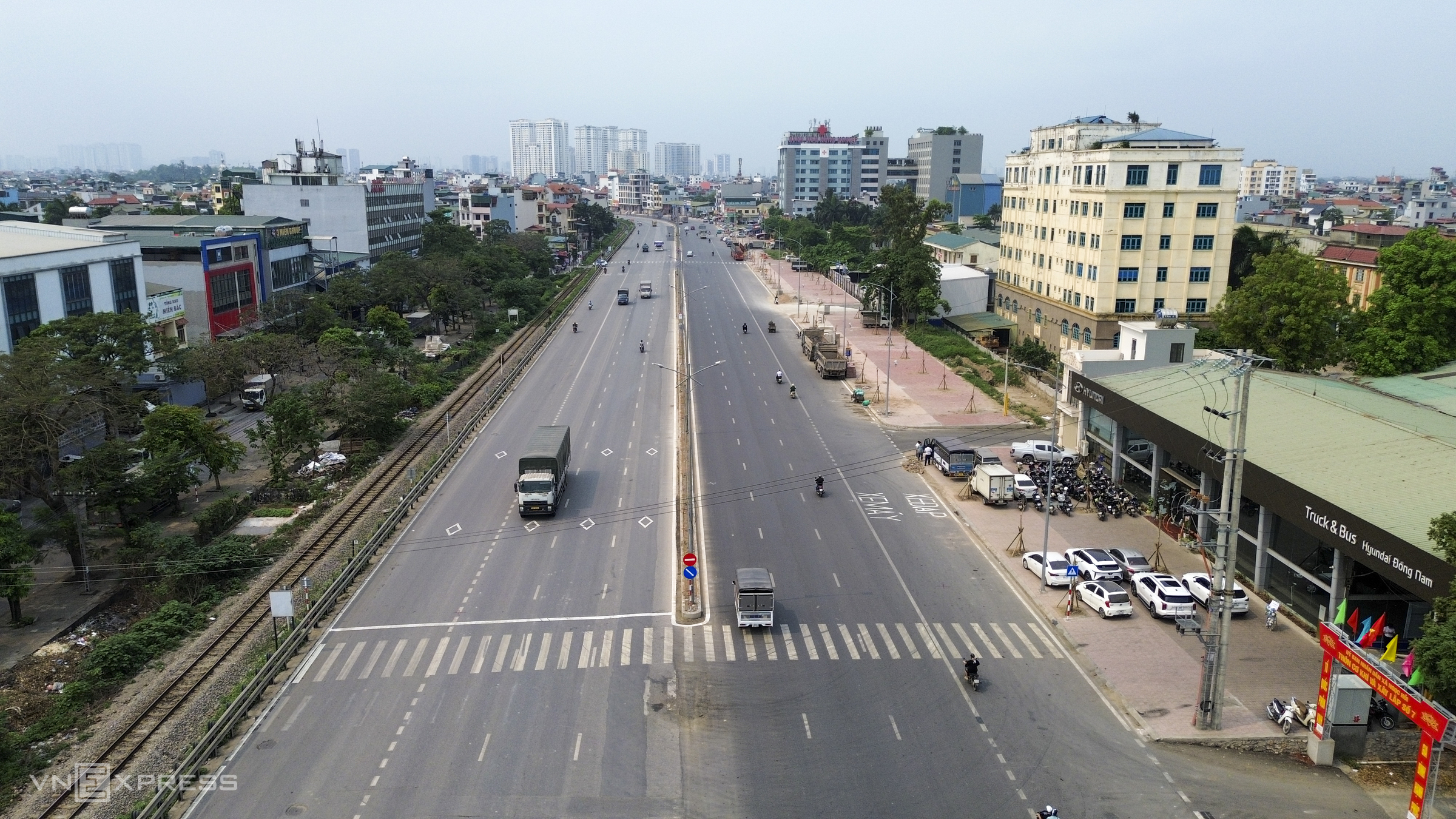 |
Of the 36,3 km, over 10 km have already been expanded to eight lanes, extending from the starting point to near Yen Phu pagoda in Ngoc Hoi commune. In Q1/2026, the 3,8 km section of National Highway 1 from Ngoc Hoi to Van Dien completed its expansion from four to eight lanes.
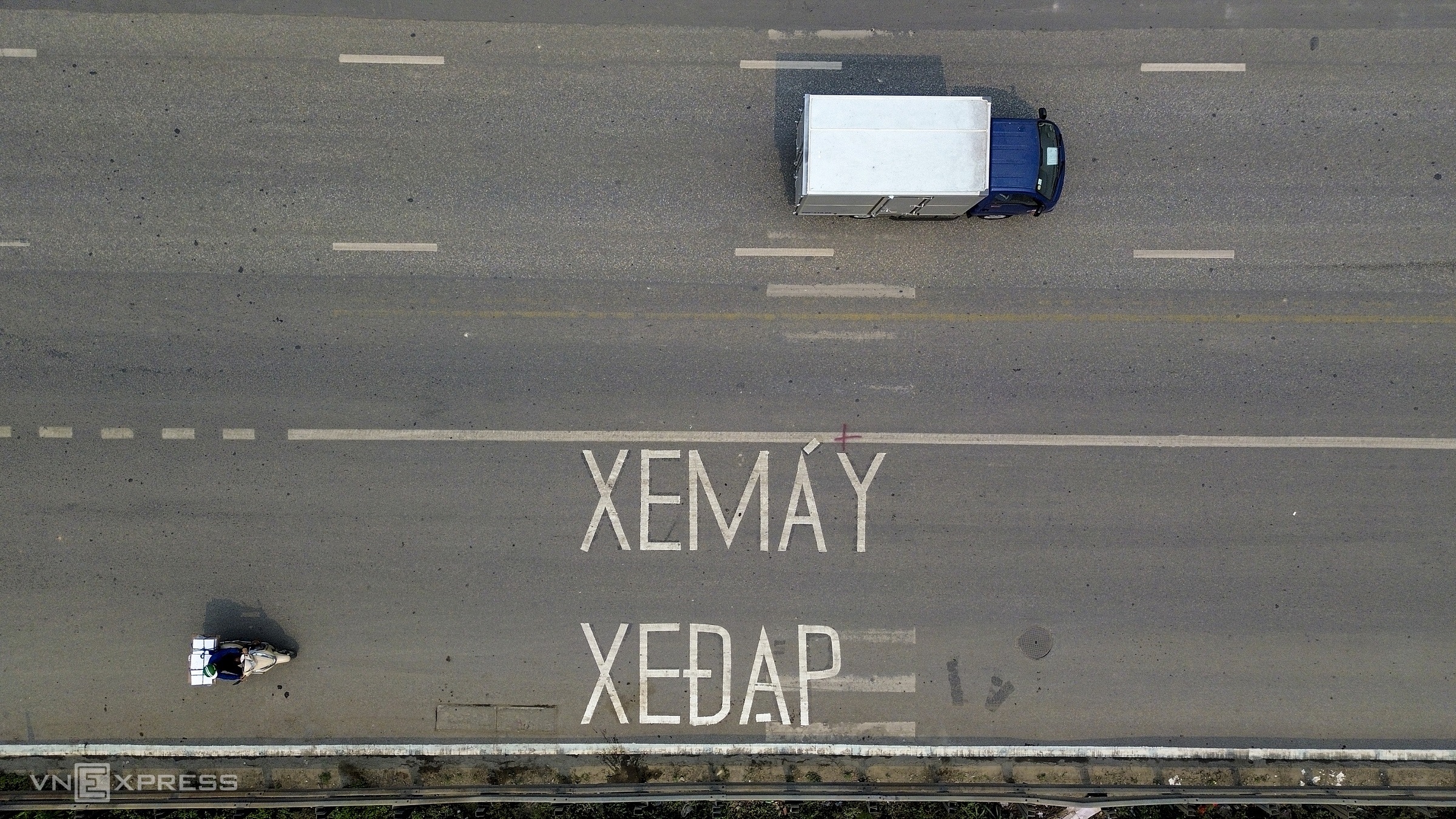 |
Given the high traffic volume and frequent accidents, the expanded Ngoc Hoi - Van Dien section now separates motorbike and bicycle lanes from car lanes. Residents living along the road waited over 15 years for this expansion to be completed.
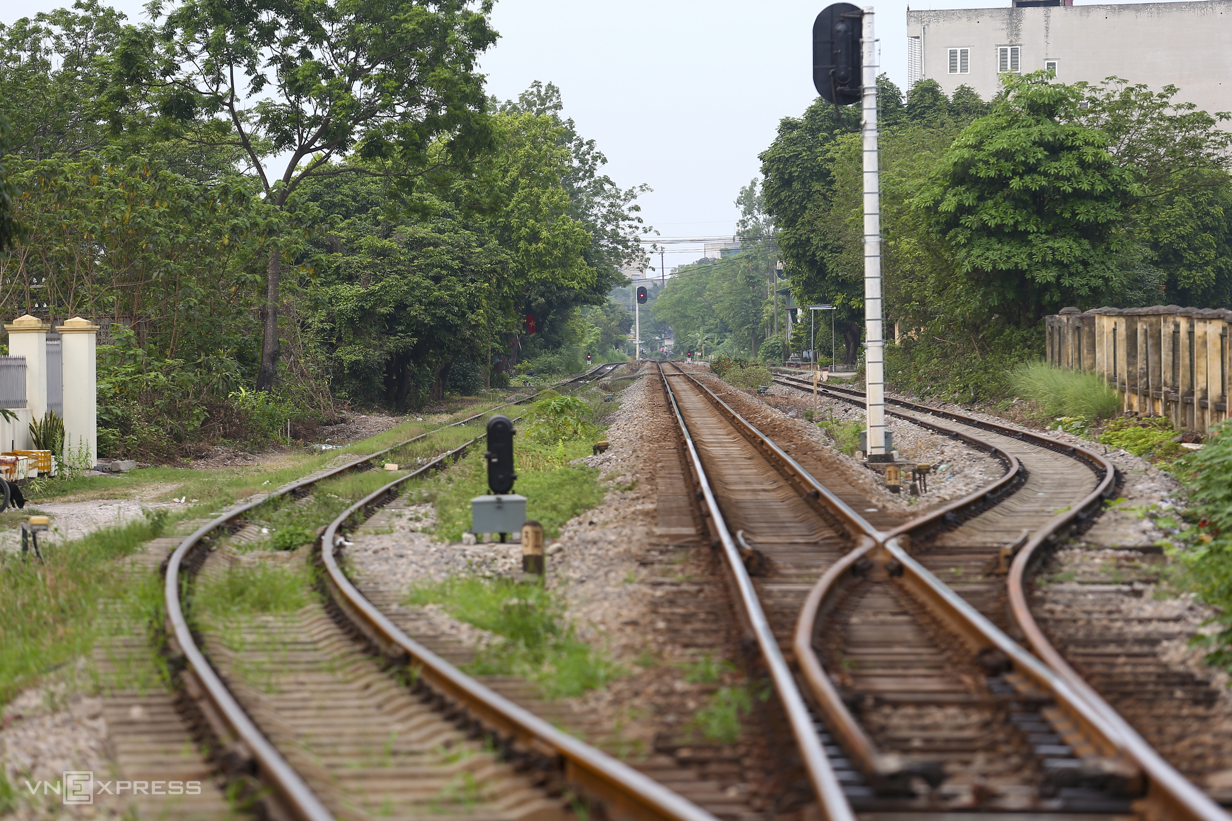
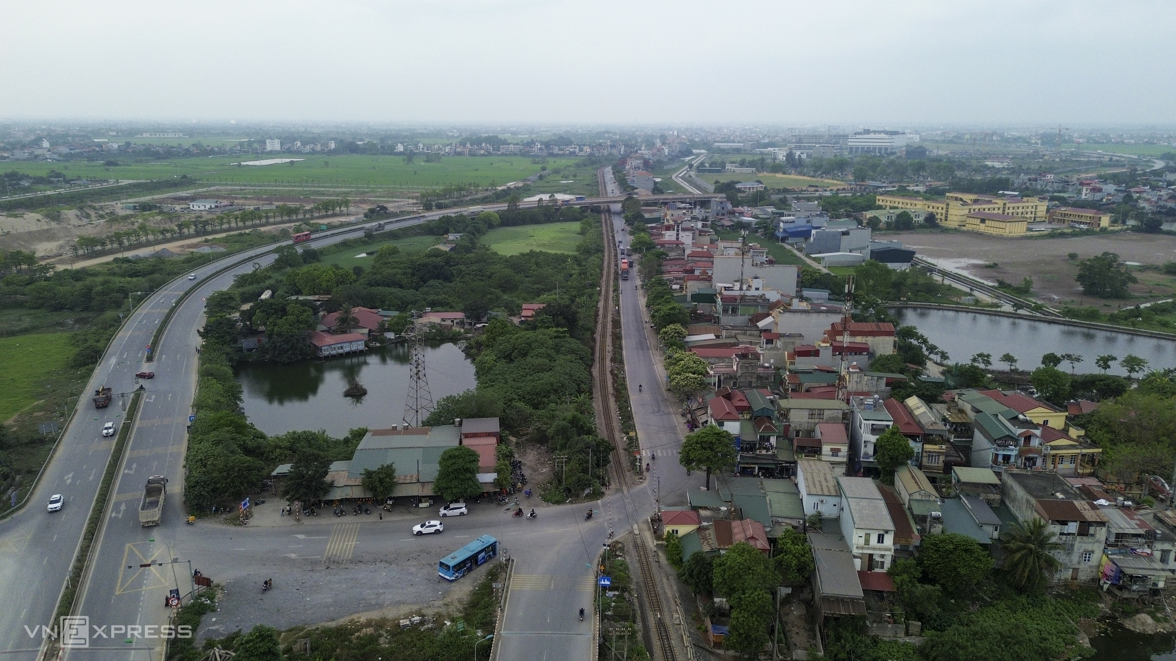
The parallel North-South railway line means the road has many level crossings and unauthorized access points across the railway. Recently, the number of railway accidents has increased, forcing local authorities to barricade many of these unauthorized crossings.
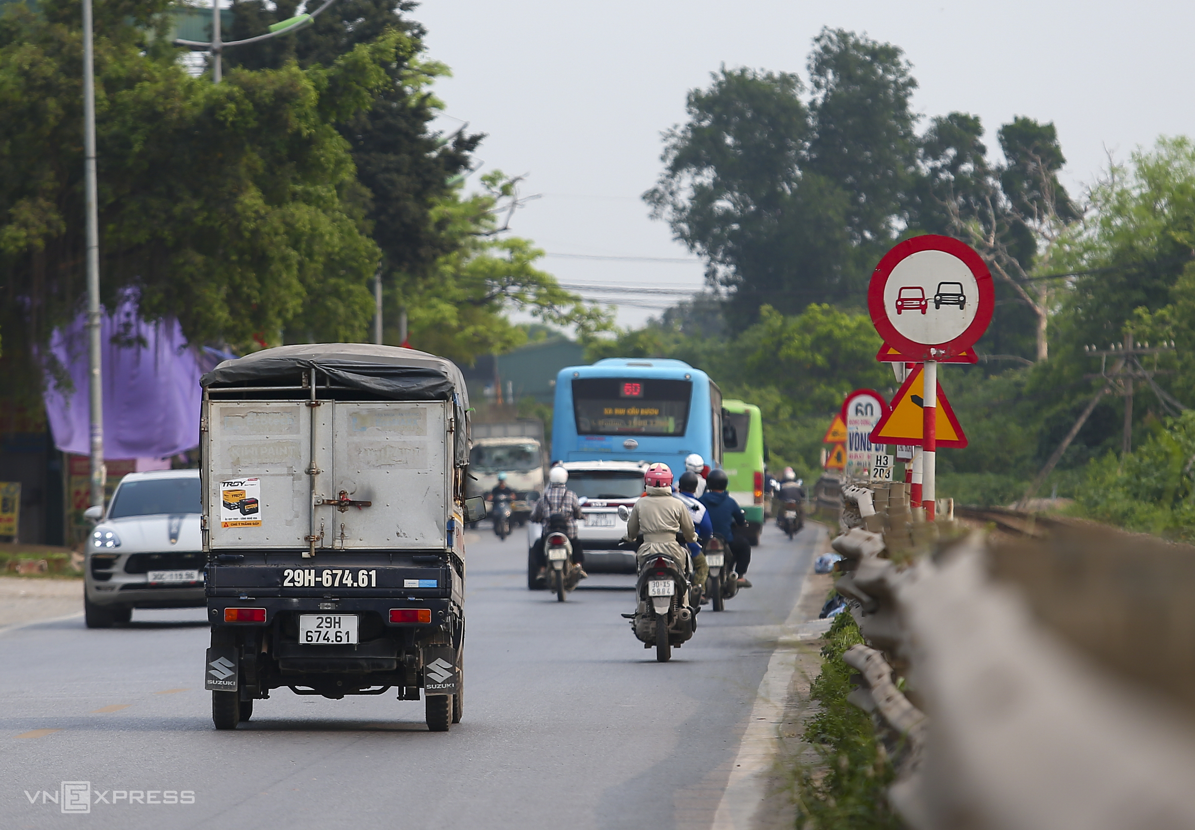 |
To reduce accidents, many "no passing" signs are placed along the route, with a maximum speed of 50-60 km/h. From Van Dien station to the Hanoi - Ninh Binh border, many sections of the road are narrow. Some sections are being widened to about 40 m, while un-improved sections remain only 10-15 m wide, comprising two to four lanes.
Approximately 26 km of National Highway 1 through Hanoi, primarily from Thuong Tin commune to the endpoint in Dai Xuyen commune, currently has only two to four lanes.
 |
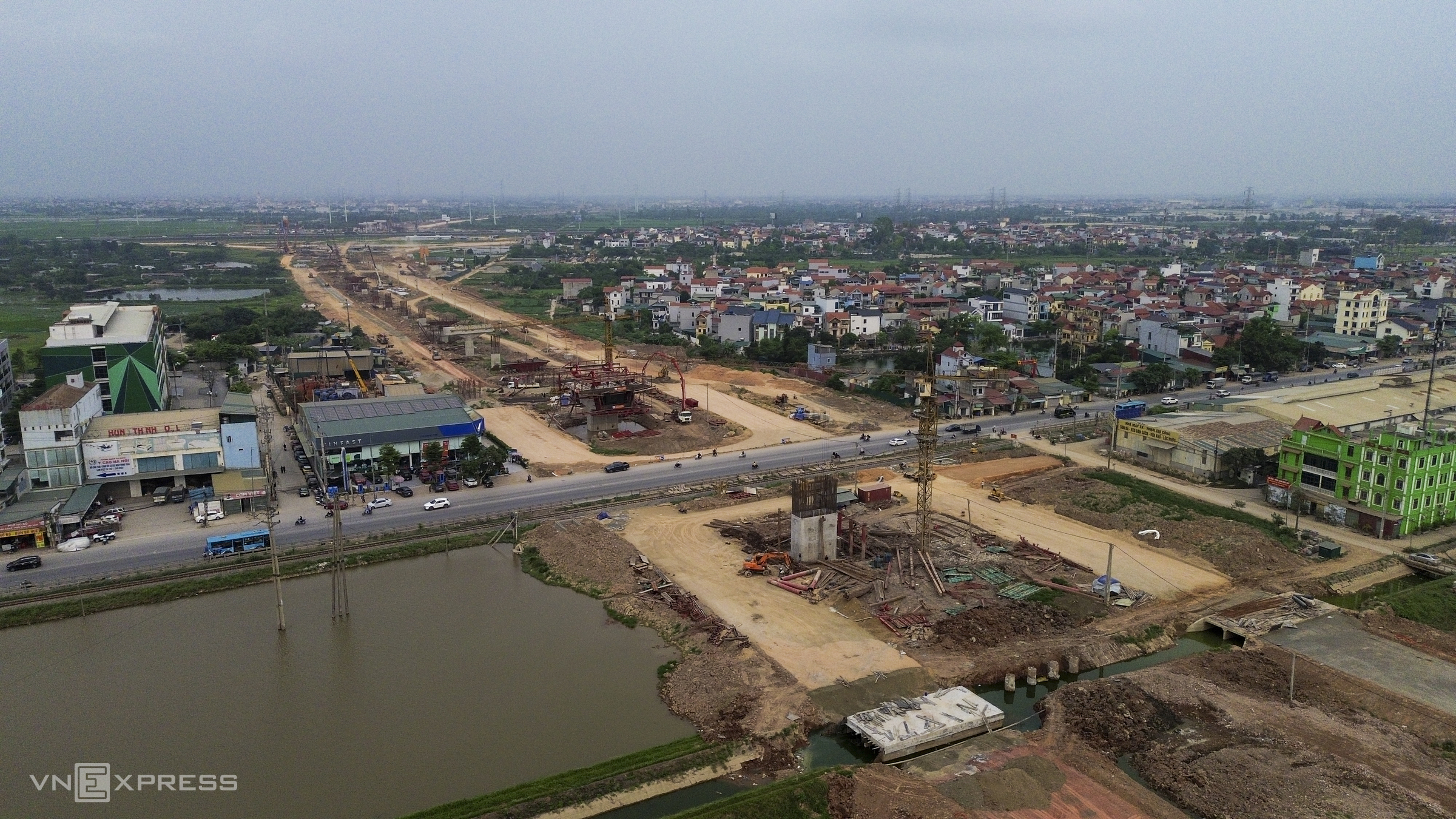
The section through Phu Xuyen commune, formerly Phu Xuyen town, now has a stretch longer than one km expanded to eight lanes. As the expansion is not yet complete, a portion of the roadway has become a parking area.
 |
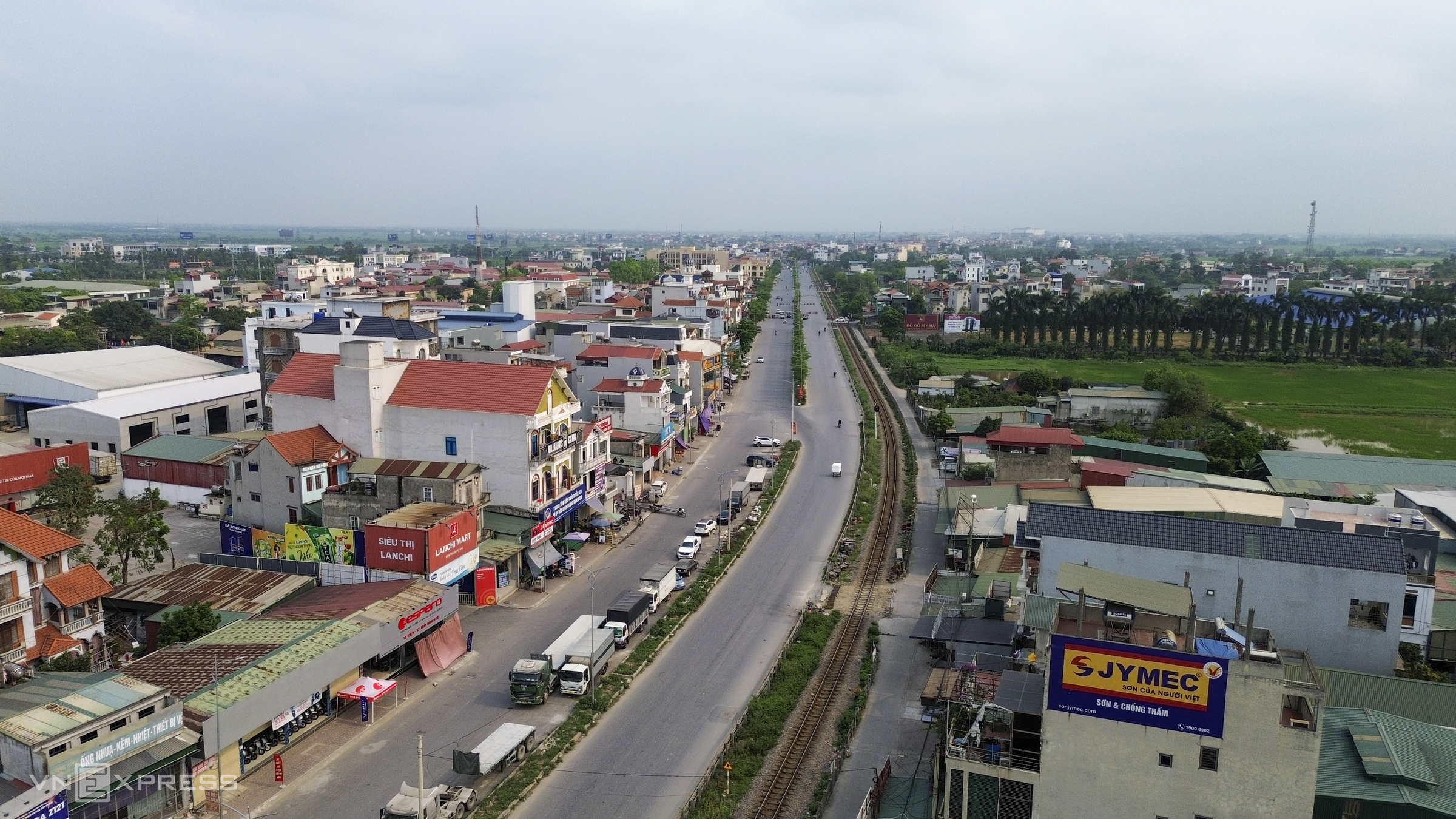
According to the approved plan, the route generally follows the existing National Highway 1, but the section passing Phu Xuyen station (pictured) will be realigned to utilize station land after the national railway line is relocated.
 |
The interchange of National Highway 1 with Ring Road 4 in Thuong Tin commune. In addition to this interchange, the route includes 10 other intersections: with Ring Road 1 (at the start of the route), Ring Road 2, Ring Road 2.5, Road 70, Ring Road 3, Ring Road 3.5, Provincial Road 427 (Duong Truc Nguyen bridge), the main traffic axis of the Olympic sports urban area, Ring Road 4.5, and the Gie bridge interchange.
 |
The route's endpoint is at the Gie bridge interchange, bordering Ninh Binh province. This area currently has a bus parking lot, serving residents traveling to and from Giap Bat bus terminal.
Upon completion, the expanded road will serve travel needs between central Hanoi and major southern urban areas, while enhancing the capital's connectivity with other provinces. The route is also expected to contribute to urban restructuring along National Highway 1 and boost socio-economic development in the region.
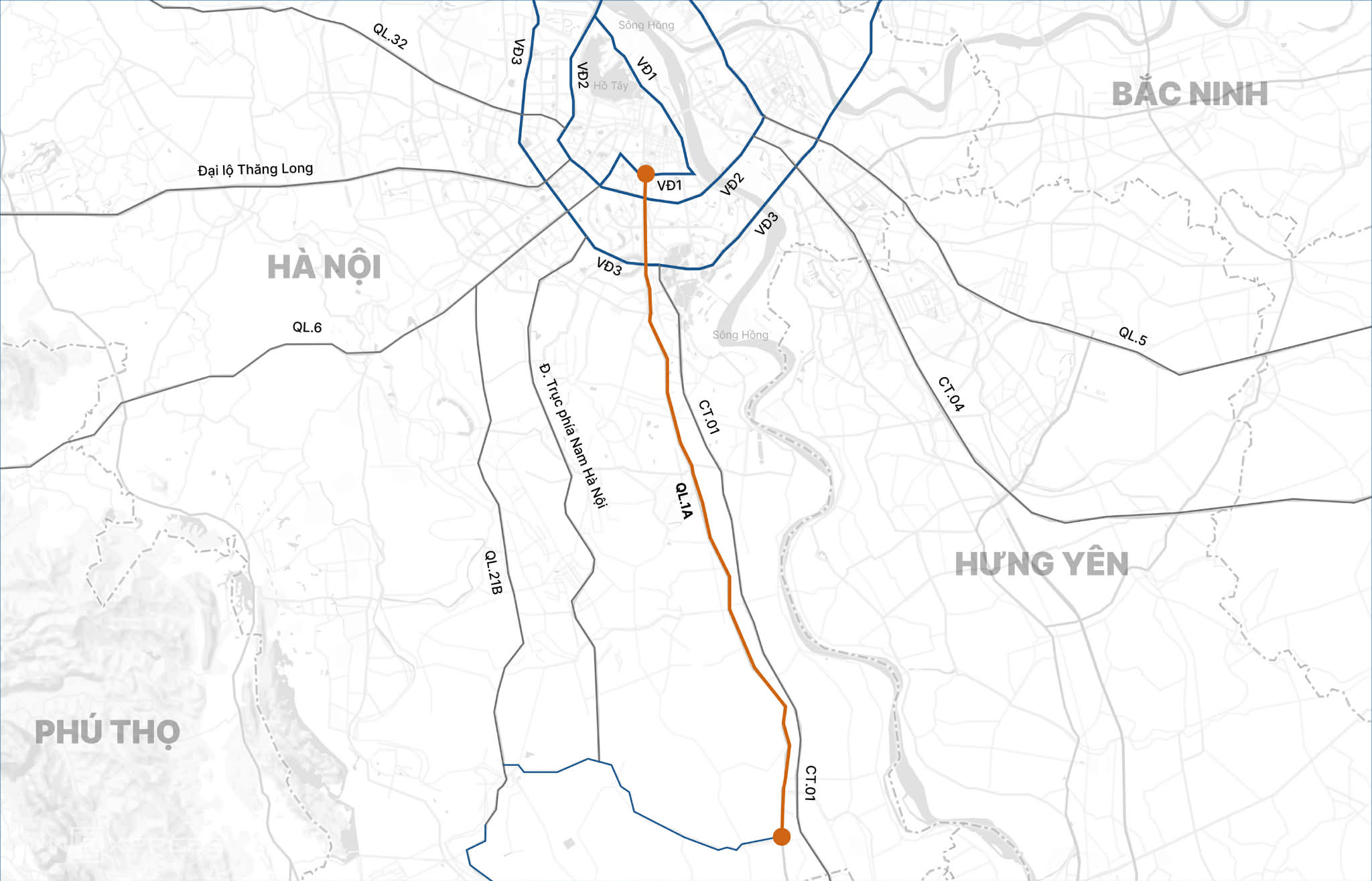 |
Hanoi's National Highway 1 expansion to 10 lanes. Graphics: Tam Thao
Viet An