The National Center for Hydro-Meteorological Forecasting reported that the tropical depression had sustained winds of level 7, with gusts reaching level 9 in the Ninh Binh - Thanh Hoa area.
Explaining why the storm, which made landfall at levels 8-9, wasn't particularly strong but lasted for 9 hours, Nguyen Van Huong, head of the Weather Forecasting Department (National Center for Hydro-Meteorological Forecasting), said it was due to the storm being located on the intertropical convergence zone.
Additionally, when the storm entered the East Sea, a subtropical high-pressure ridge influenced its direction and speed, causing it to move quickly. Upon entering the Gulf of Tonkin, the high-pressure ridge weakened, slowing the storm.
"From this afternoon until now, the storm has moved very slowly. Because of its slow movement and not going deep inland, the storm's intensity was preserved for a longer time, and the wind along the coast remained strong and persistent," Huong added.
 |
Waves crash into a collapsed church in Ninh Binh. Photo: Pham Chieu |
Waves crash into a collapsed church in Ninh Binh. Photo: Pham Chieu
Tropical storm Wipha caused strong winds in the coastal areas of northern and north-central Vietnam from 1 p.m. yesterday to noon today. The strongest winds on land were recorded at the Tien Yen station (Quang Ninh) at level 10, with gusts reaching level 14.
Coastal stations like Cua Ong (Quang Ninh) recorded level 10 winds, gusting to level 12; Quang Ha (Quang Ninh) level 9, gusting to level 11; and Bai Chay (Quang Ninh) level 8, gusting to level 10.
Other stations, such as Mong Cai (Quang Ninh), recorded level 7 winds, gusting to level 9; Thai Binh level 7, gusting to level 8; Ba Lat (Hung Yen) level 8, gusting to level 9; Hon Dau (Hai Phong) level 8, gusting to level 9; and Phu Lien (Hai Phong) level 6, gusting to level 8.
The storm brought widespread rainfall of 100-200 mm, exceeding 300 mm in some areas of northern Vietnam, Thanh Hoa, and Nghe An from 7 a.m. yesterday to 1 p.m. today. The highest rainfall was recorded in Nga Son (Thanh Hoa) at 412 mm, Sam Son at 379 mm, Trieu Son at 336 mm, and Nhu Thanh at 327 mm. Stations in Hai Anh, Giao Linh, and Tam Diep (Ninh Binh) received over 260 mm of rain.
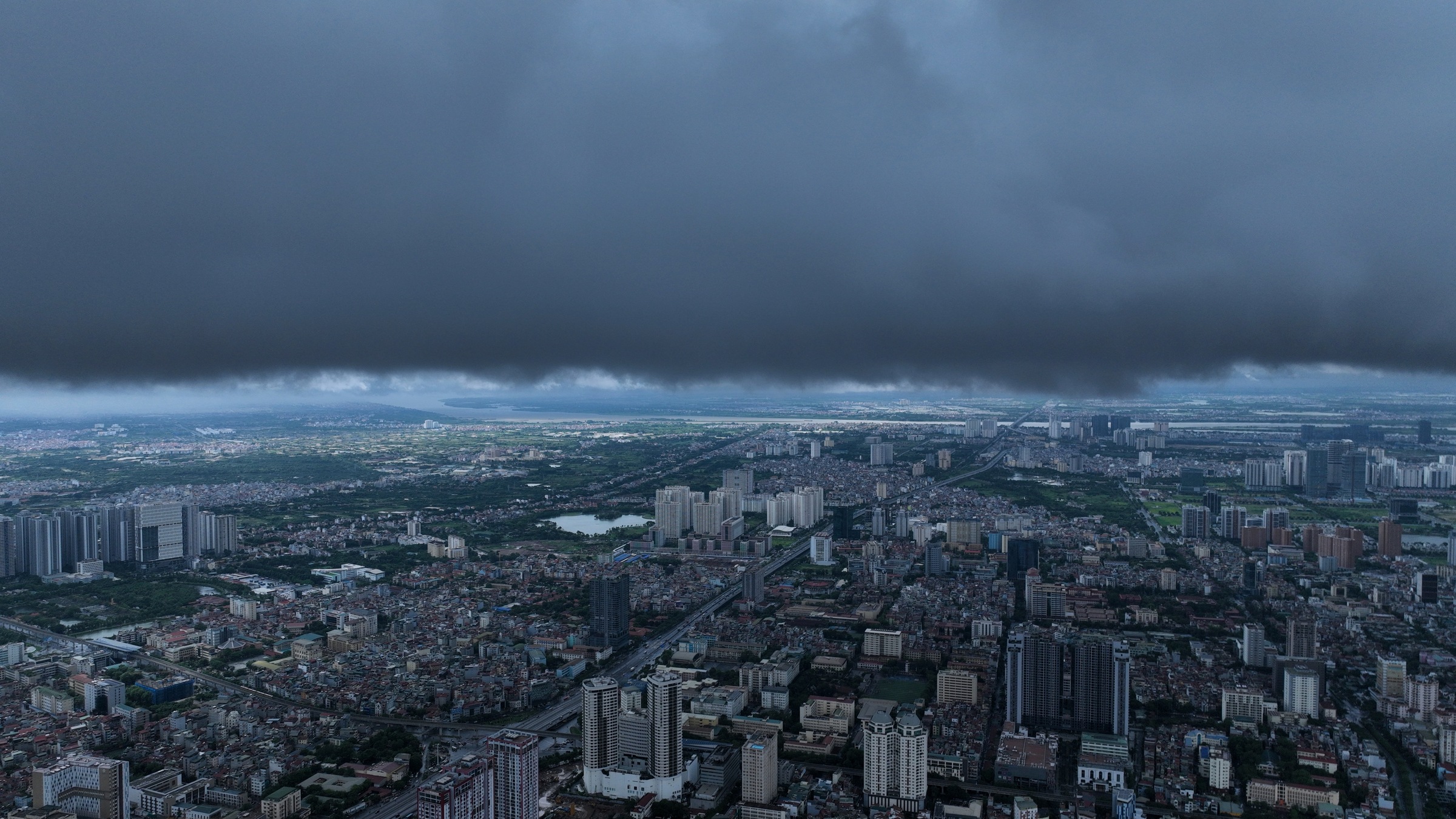 |
A thunderstorm over Hanoi, afternoon of 22/7. Photo: Ngoc Thanh |
A thunderstorm over Hanoi, afternoon of 22/7. Photo: Ngoc Thanh
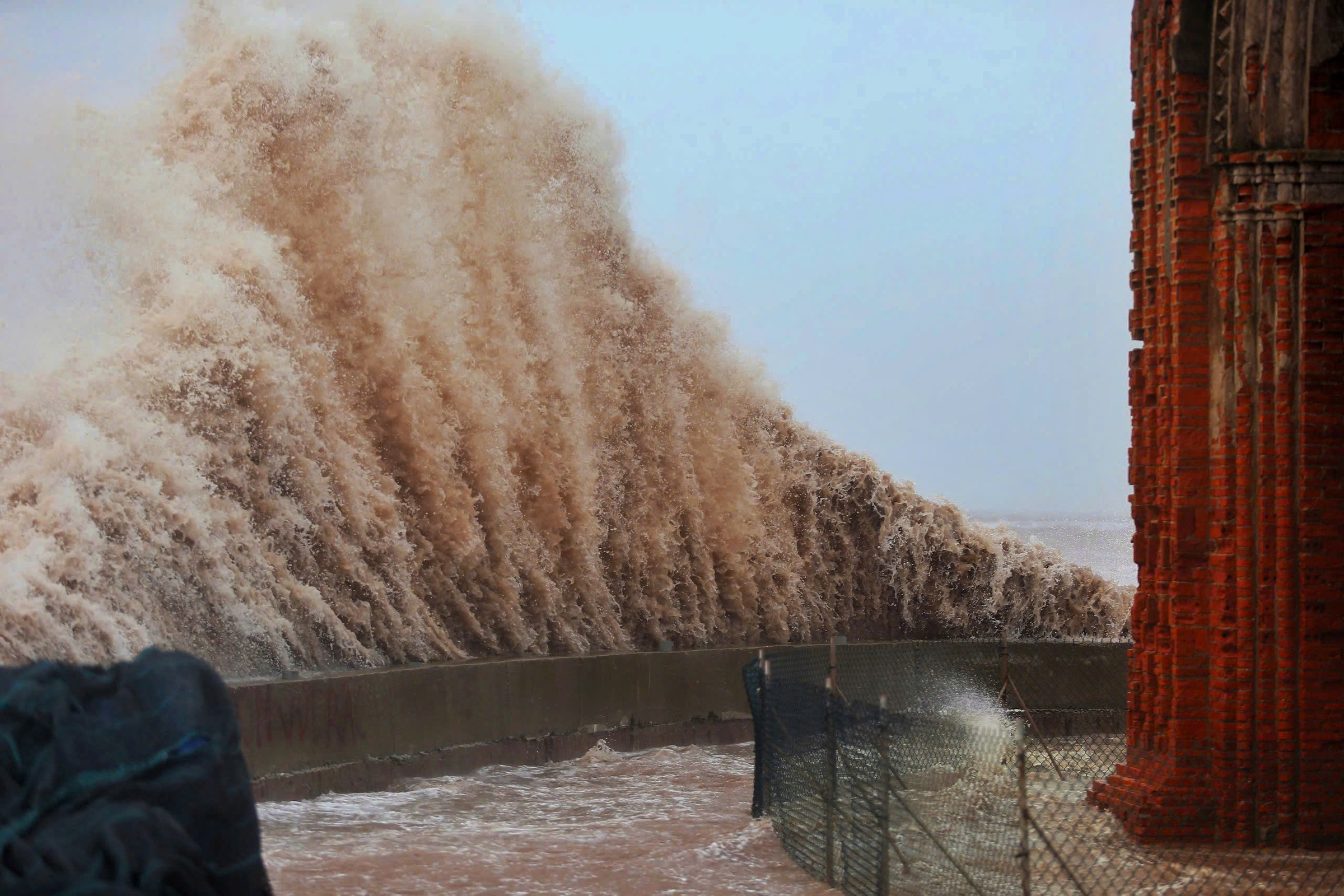
Tropical storm Wipha also generated waves of 3.5 m at Bach Long Vi at 7 p.m. yesterday and 2.5 m at Co To at 7 a.m. today. Storm surges at 10 a.m. reached 0.6 m at Hon Dau (Hai Phong) and 0.8 m at Ba Lat (Hung Yen).
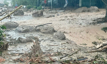
Although the storm has weakened, its circulation and the intertropical convergence zone will continue to cause rain in several areas. Lao Cai, Son La, and Ha Tinh provinces are expected to receive 20-40 mm of rain, with some areas exceeding 70 mm; Thanh Hoa, Nghe An, and southern Phu Tho will experience heavier rainfall of 40-60 mm, exceeding 180 mm in some places. There is a high risk of flash floods and landslides in these areas, especially in the mountainous regions of Thanh Hoa and Nghe An.
Since the beginning of the year, there have been three storms in the East Sea, two of which have affected Vietnam. Meteorological agencies predict that from now until October, there will be about seven storms in the East Sea, three of which will impact the mainland.
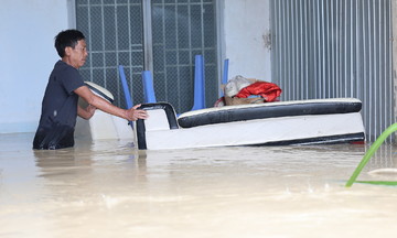
The Department of Dyke Management and Disaster Prevention reported that by 5 p.m., authorities had evacuated nearly 11,800 people due to the storm, with the highest numbers in Hai Phong (nearly 5,000 people) and Ninh Binh (over 4,700 people). Approximately 730 other people in Thanh Hoa and Nghe An were evacuated due to flooding and landslides.
Initial reports indicate that 79 houses in Nghe An were damaged, and over 107,000 hectares of rice paddies were flooded, mainly in Ninh Binh (over 74,000 hectares). Several dyke incidents occurred in Da Phuc (Hanoi), Nghia Son (Ninh Binh), and Hoang Chau (Thanh Hoa).
Gia Chinh