 |
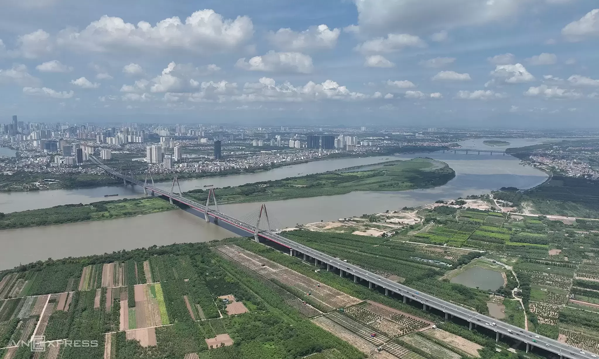
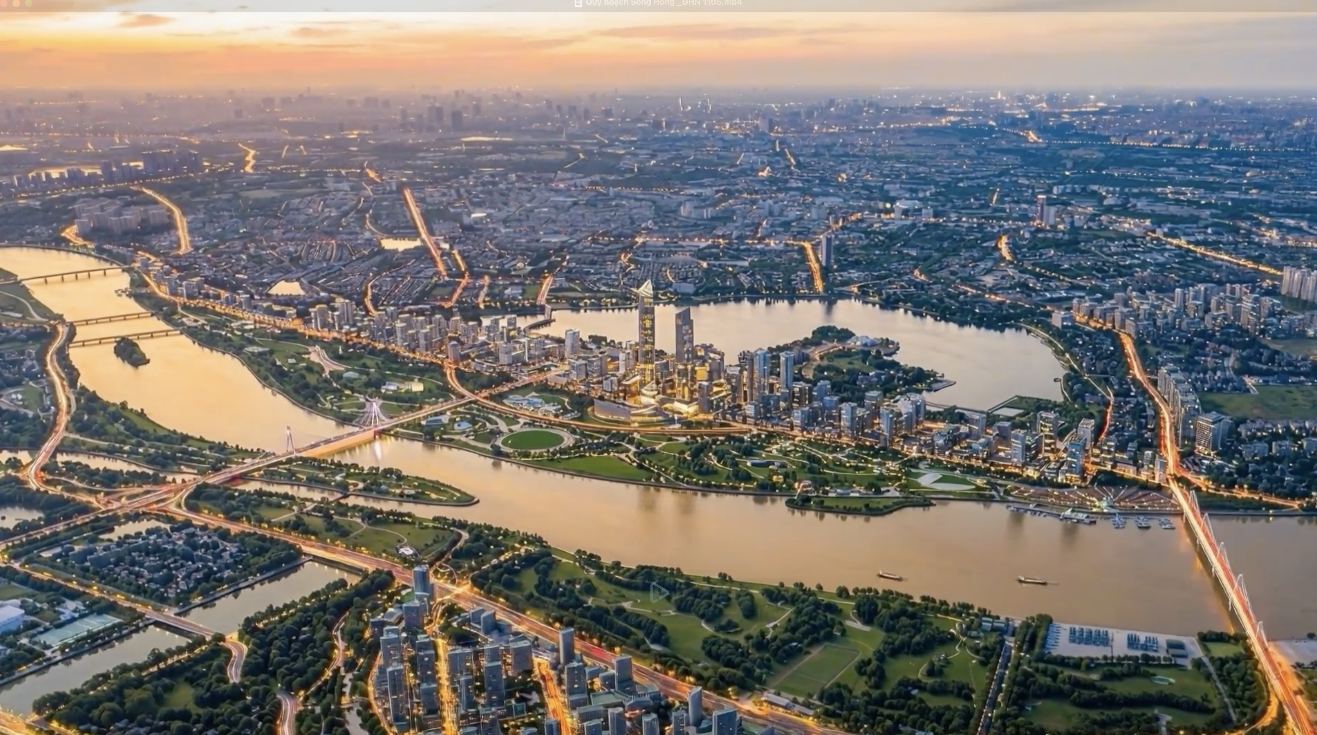
The planning for the Red River landscape boulevard axis aims to foster a creative economy rooted in local identity, establishing a "mother river cultural corridor" along the Red River. The city plans to develop tourist routes connecting a series of riverside heritage parks, featuring a network of 11 themed parks.
 |
Among the 11 park clusters, which span approximately 3,300 hectares of contiguous land from north to south, the largest is located at the Trang Viet riverbank. This area, encompassing Me Linh commune and Thien Loc commune, covers over 1,100 hectares. The smallest is Phu Thuong ward park, at about 20 hectares.
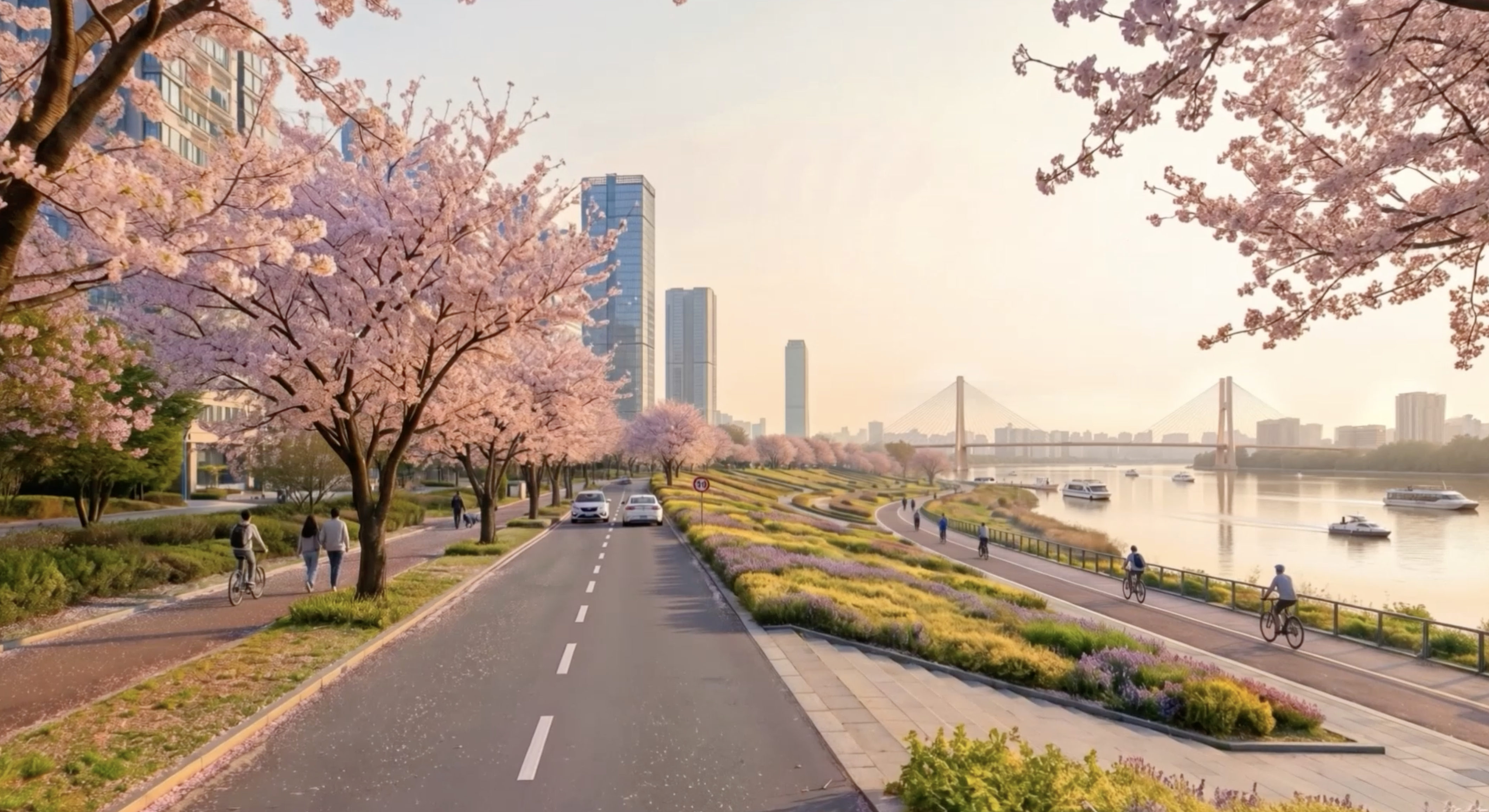
A themed park for preserving the Nhat Tan peach blossom growing area in Quang Ba district will form part of the historical waterway axis connecting Viet Tri, Ha Noi, and Pho Hien.
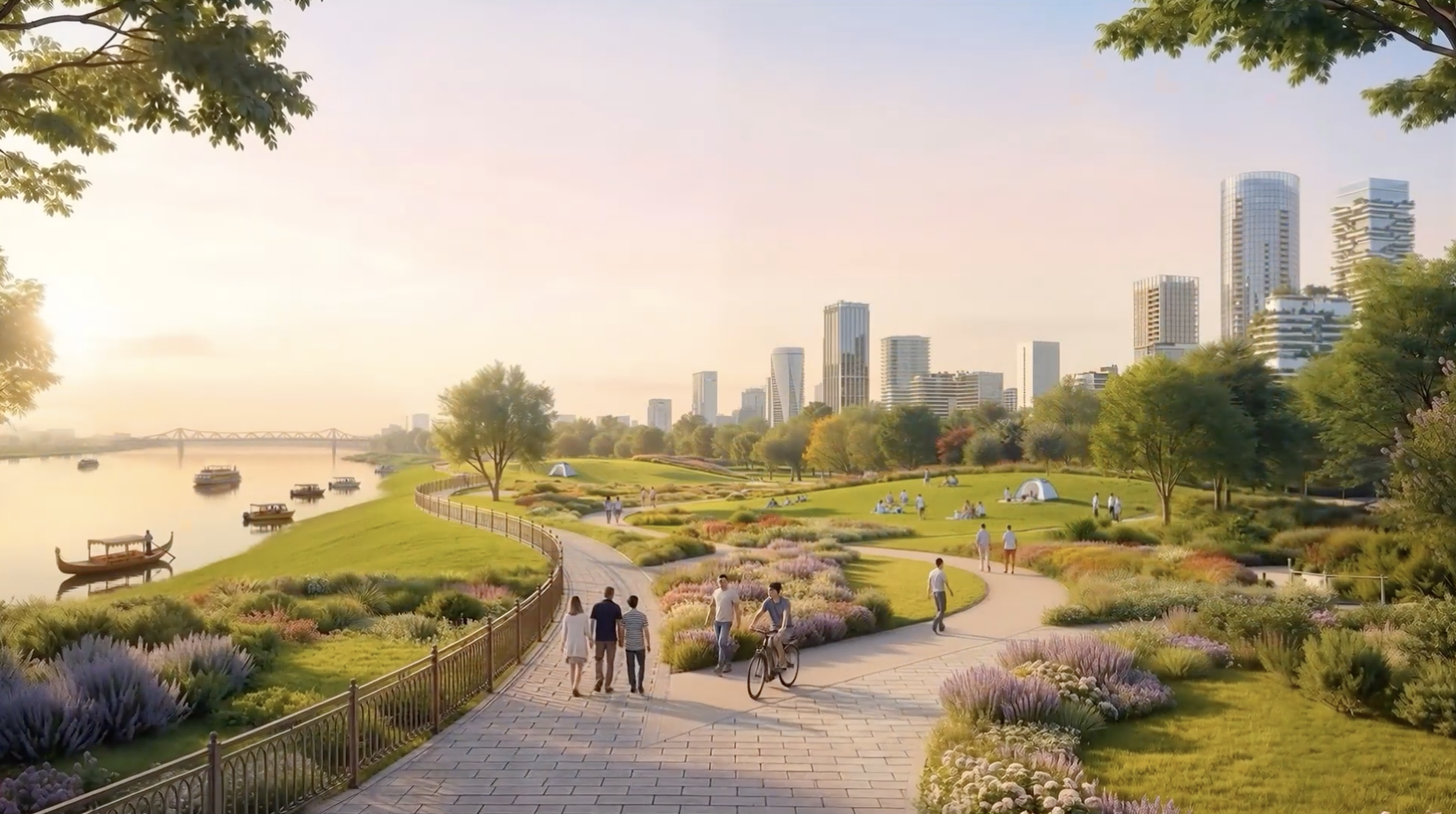 |
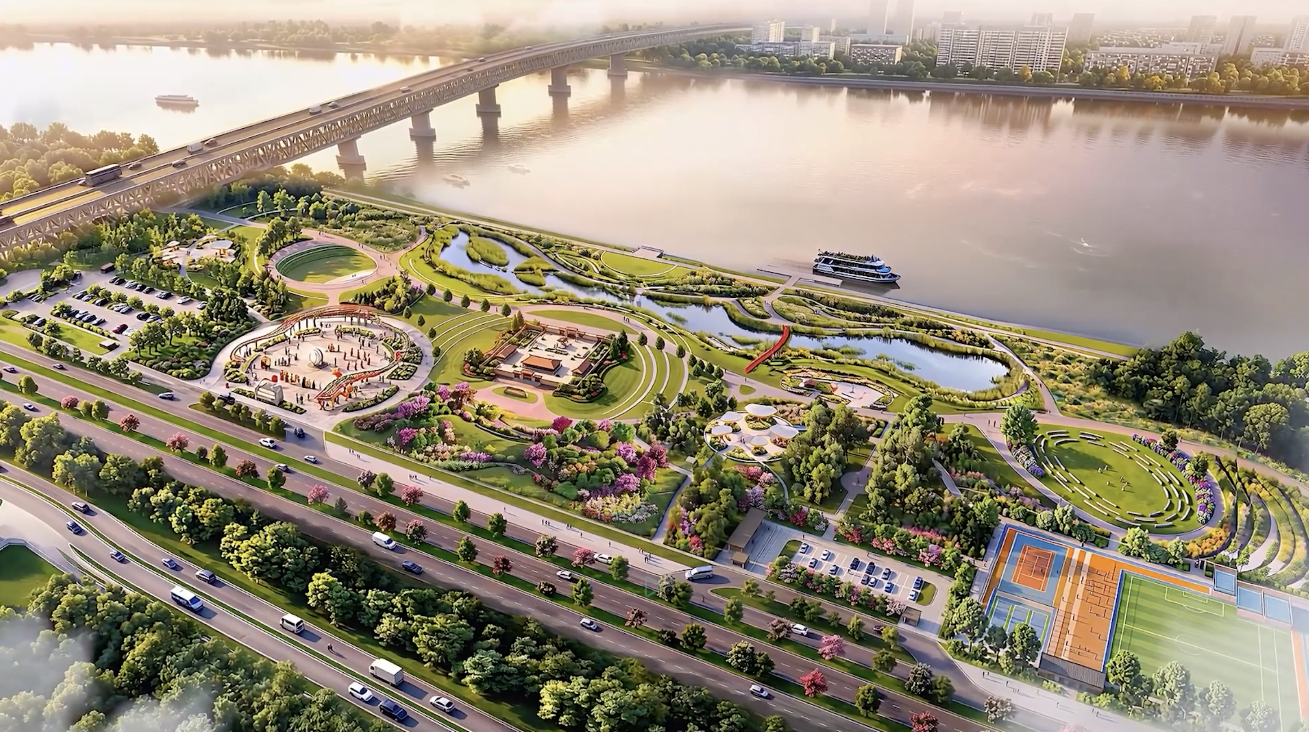
These parks will feature numerous walking paths, lined with trees and flowers, creating clean, beautiful, green spaces.
 |
Additionally, the parks will offer many entertainment, recreation, and sightseeing services, designed to attract residents.
The plan also proposes symbolic spaces such as the Millennium Tower and several museums: the Red River Memory Museum, Long Bien Bridge Museum, Grand Boulevard Museum, and Technology Museum. The areas along both banks of the river are envisioned to become an international-scale creative innovation hub, contributing to an improved quality of life, reduced urbanization impacts, enhanced air quality, and mitigated urban heat island effect during summer.
 |
This giant green axis along the river will create a friendly living environment with large squares, waterfront walkways, and expanded transport routes.
 |
Craft villages will be revitalized within architectural spaces, ensuring a high-quality, synchronized living environment. The city aims to preserve craft villages in conjunction with cultural spaces, experiential tourism, and to improve living conditions for residents of Bat Trang, Kim Lan, and Van Duc craft villages.
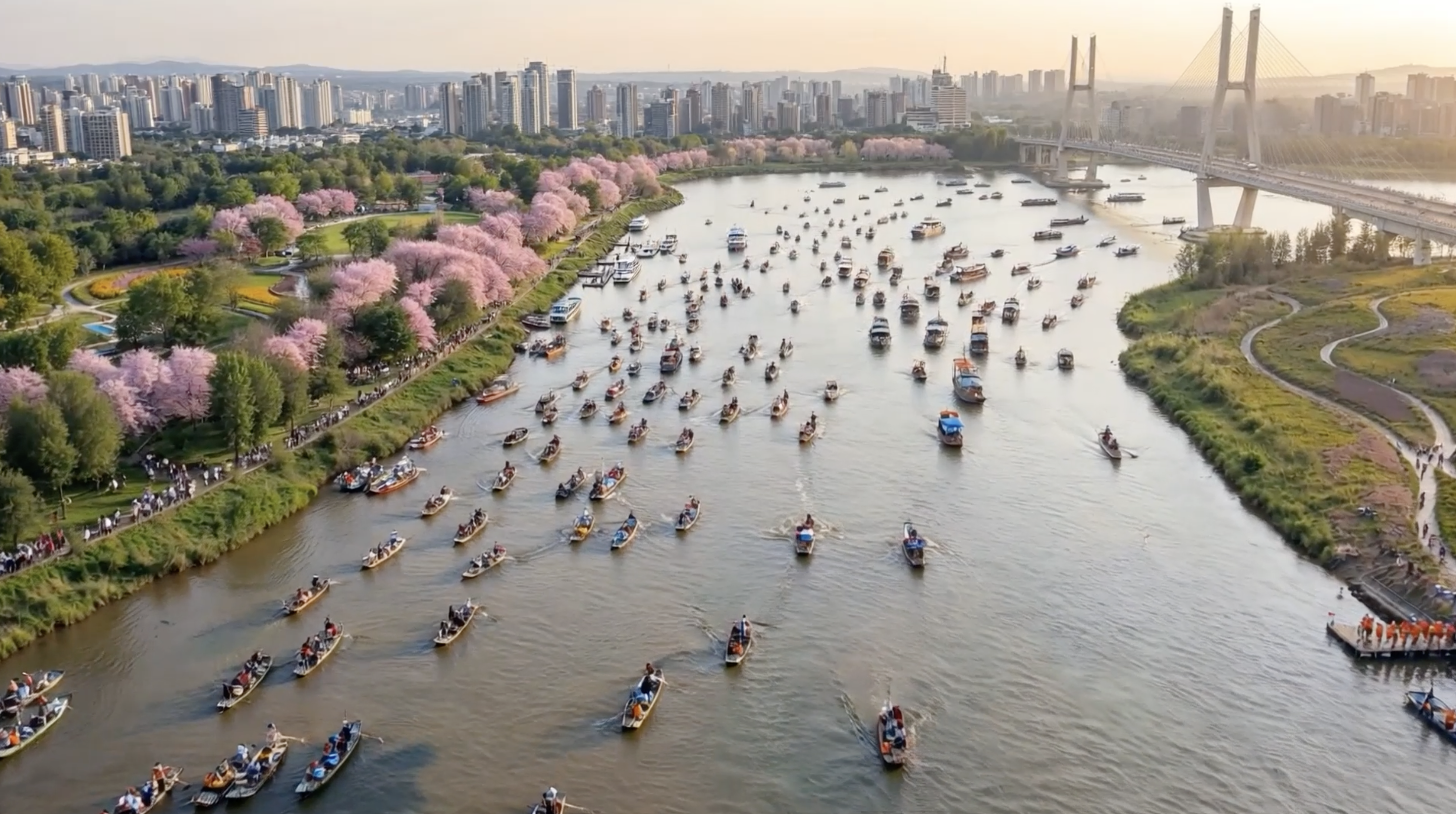
The plan also aims to establish a river-based transport system, developed on a green model, offering 1-3 day tours visiting historical landmarks and museums along both riverbanks.
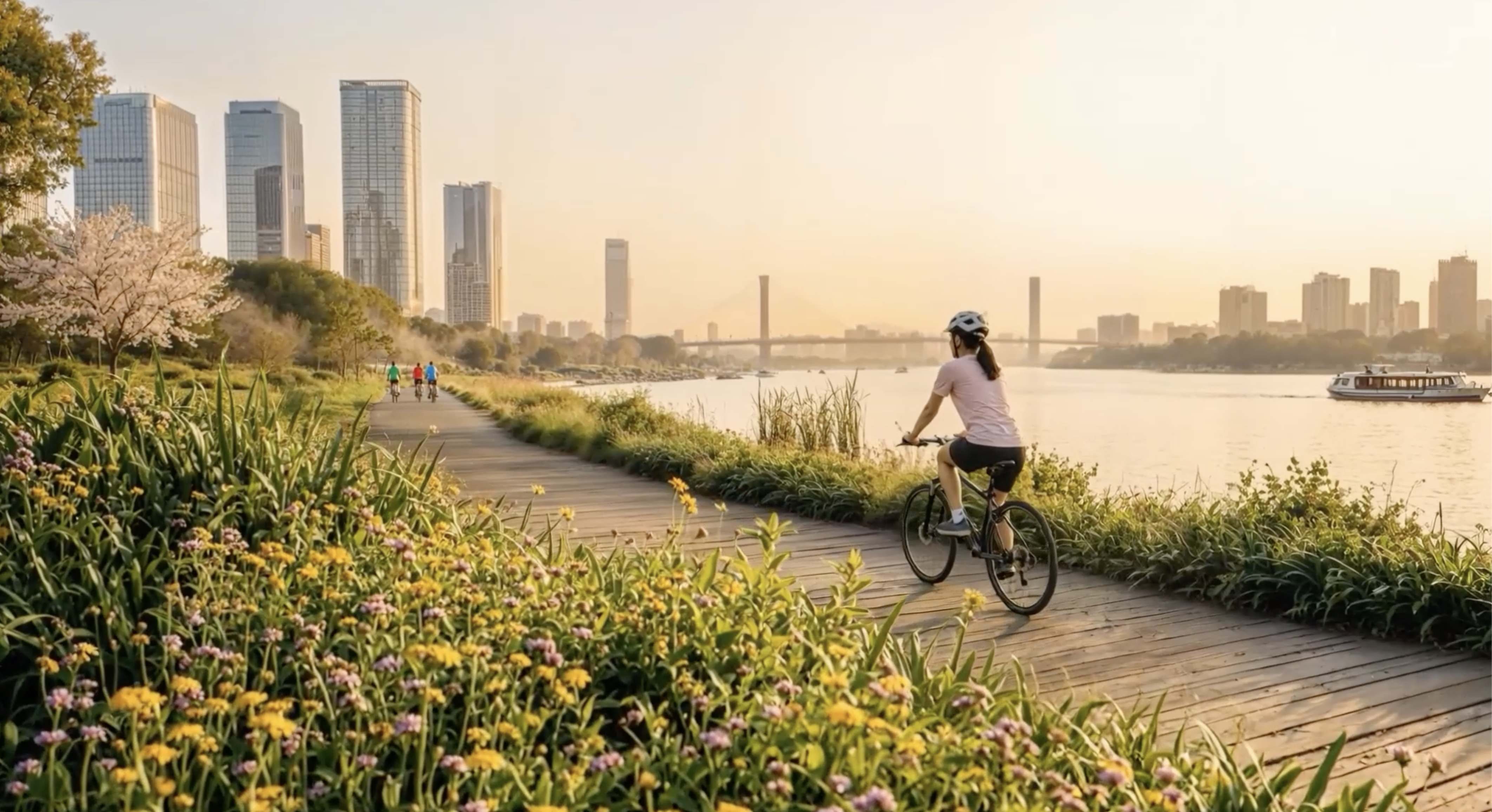 |
A path for walking and cycling close to the water will be formed along the river.
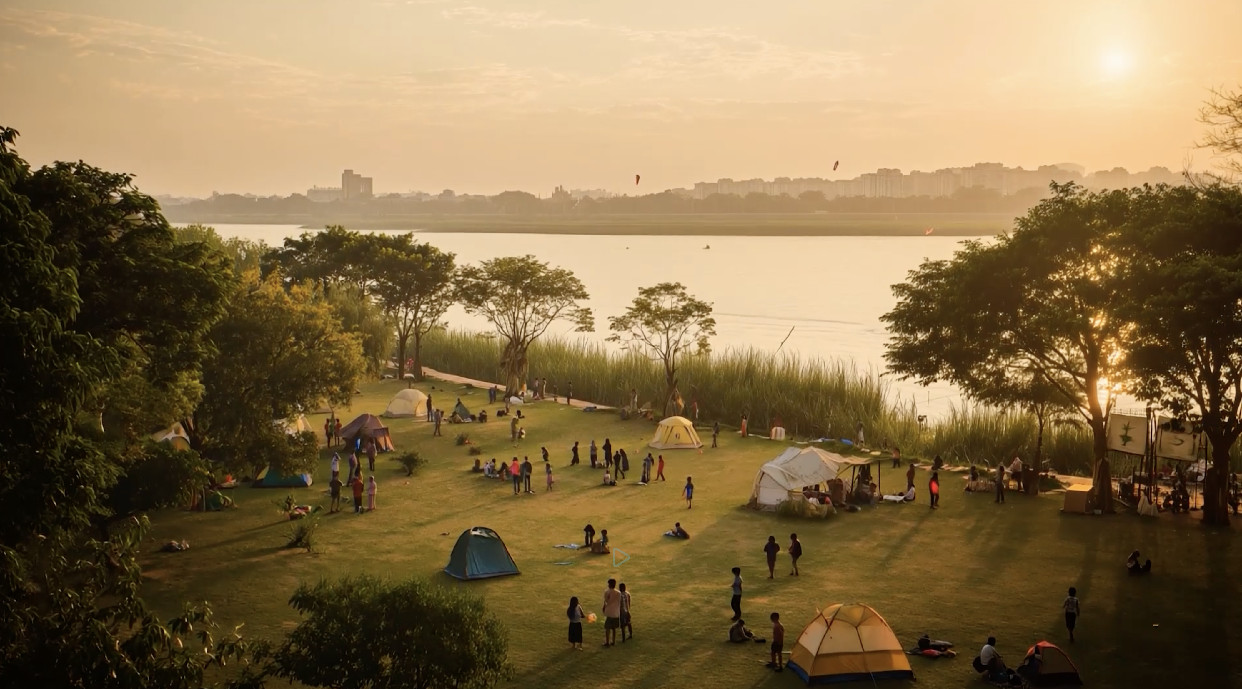 |
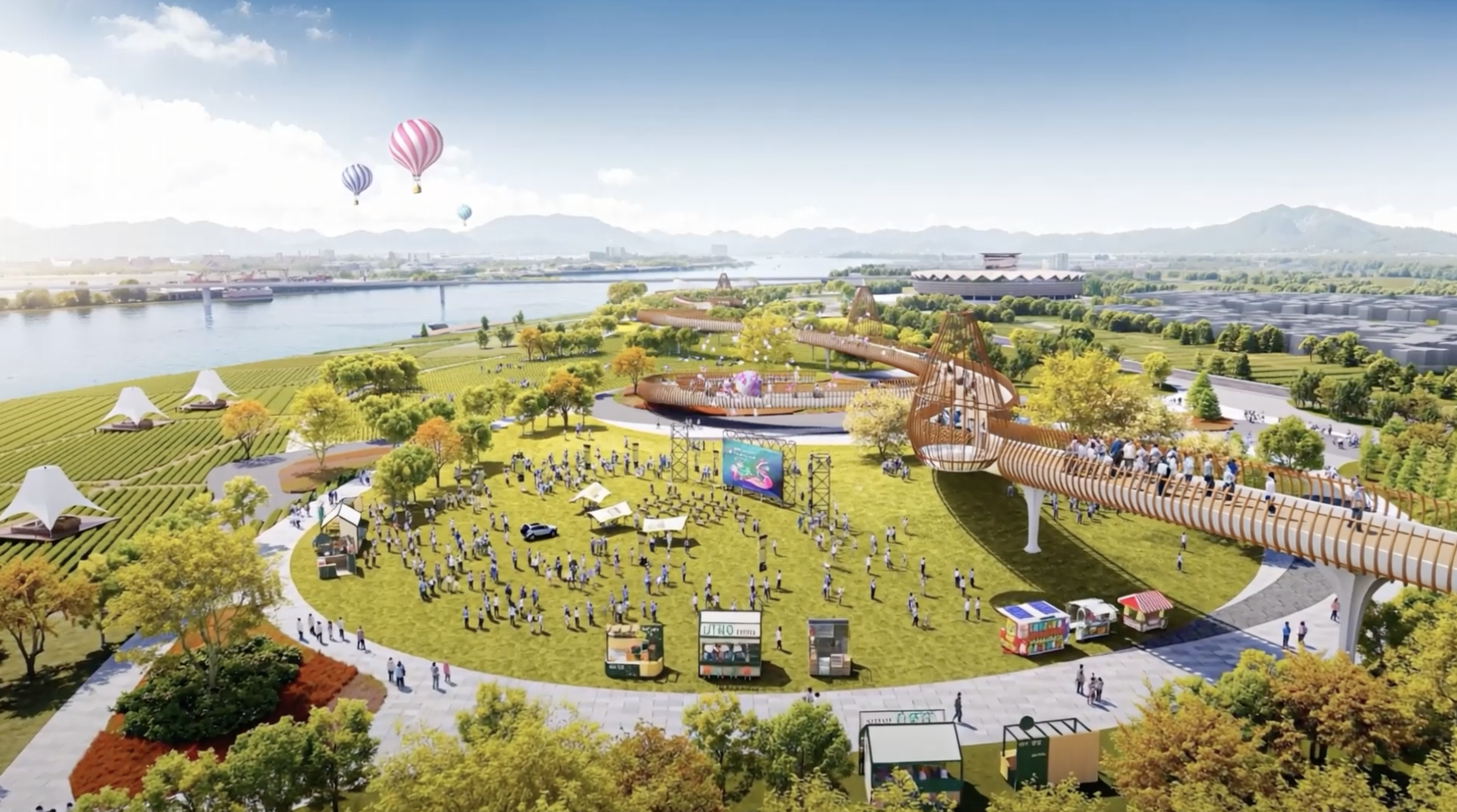
The central ecological belt will include many planned camping sites, ensuring safety for residents.
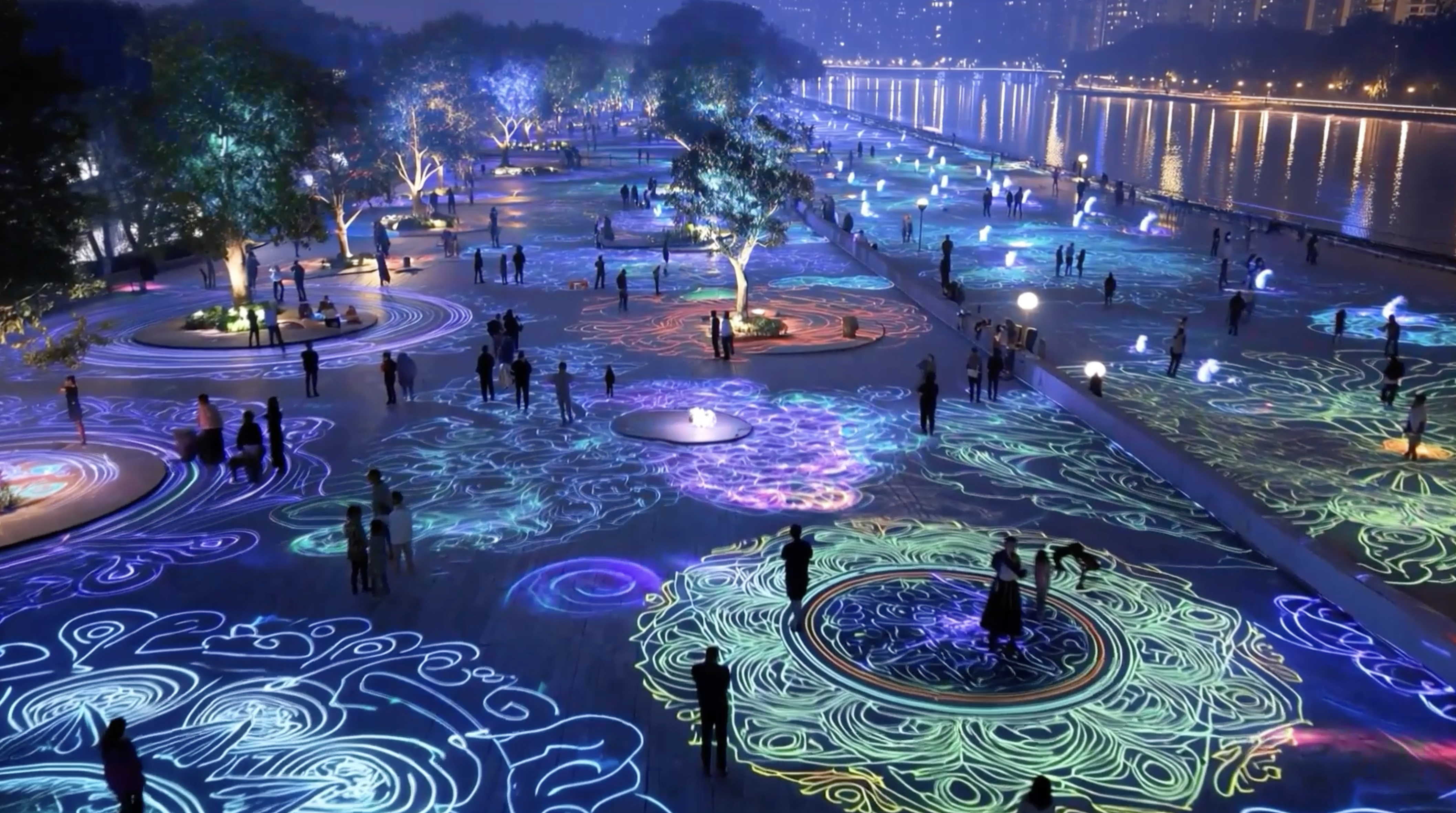 |
Cultural, tourism, and sports spaces, enhanced with lighting effects, will transform the area's appearance, creating new appeal. Ha Noi aims for riverside parks and services to become a major tourist destination, targeting 15-20 million visitors per year.
Ha Noi currently lacks large public spaces, riverside parks, ecological squares, and extensive walking paths. The project is expected to transform the Red River banks into the capital's "central park," serving as a core ecological belt and a major cultural, tourism, festival, and sports hub for the North.
Images are screenshots from a video presentation at the Ha Noi People's Council session on 11/5.