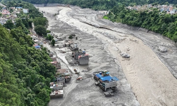
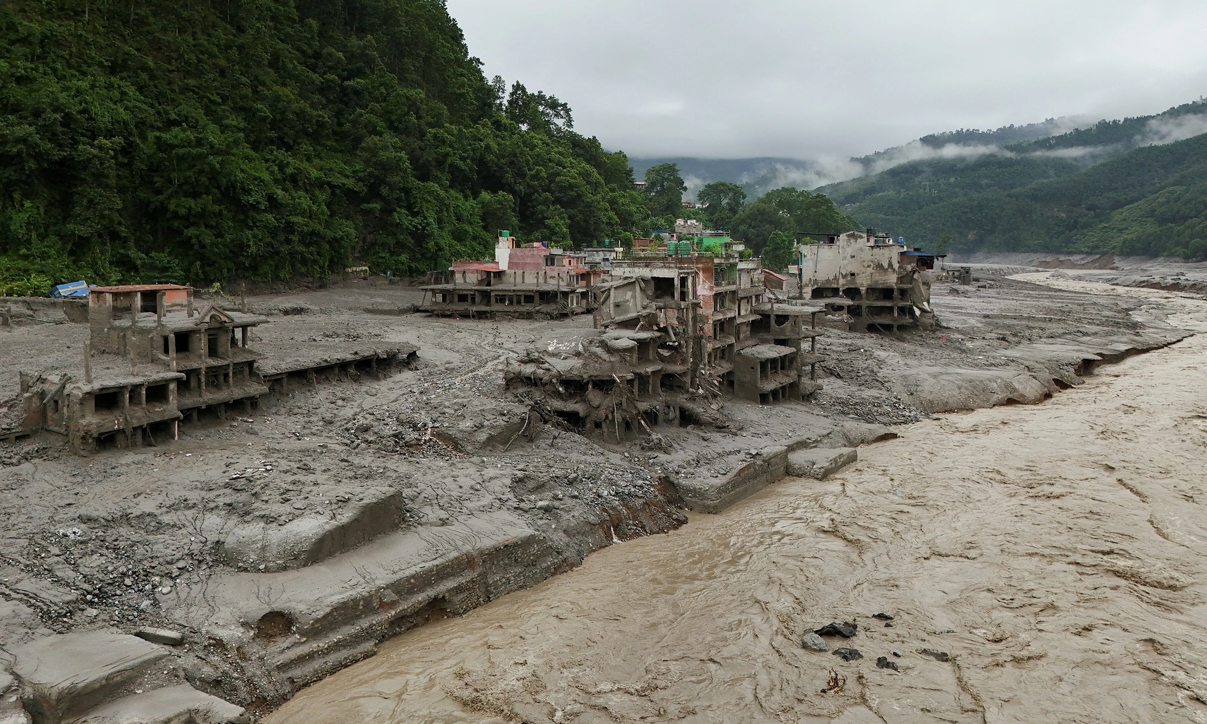
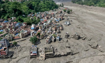
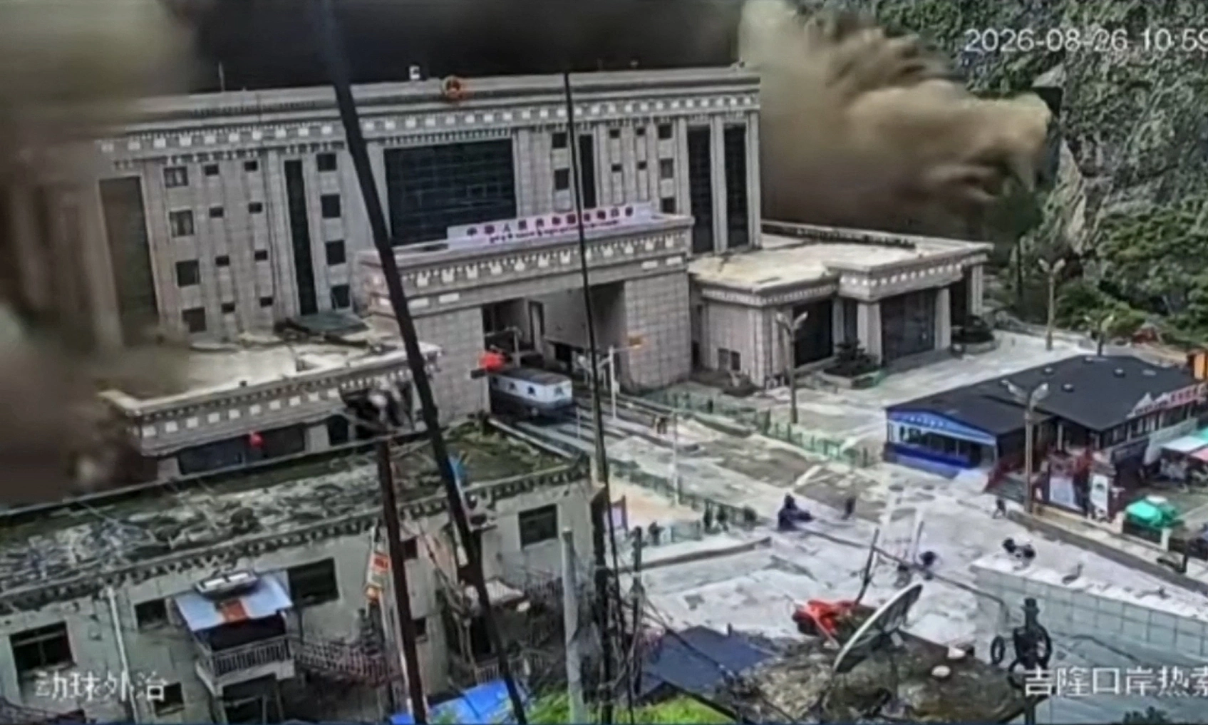
A devastating flash flood struck the Nepal-China border on August 26, leaving a mountain near the Langtang Lirung peak appearing "split in two" following a massive glacier collapse. Satellite imagery captured the aftermath, revealing a significant void where a section of ice, approximately 930 m long, detached from the mountainside.
Soar, an Australia-based digital mapping platform, highlighted the scale of the collapse in a social media post today. Commercial satellite photos show the flash flood originated on the eastern slope near Langtang Lirung, a peak standing over 7,200 m tall. This part of the mountainside completely collapsed, creating the appearance of a deep fissure.
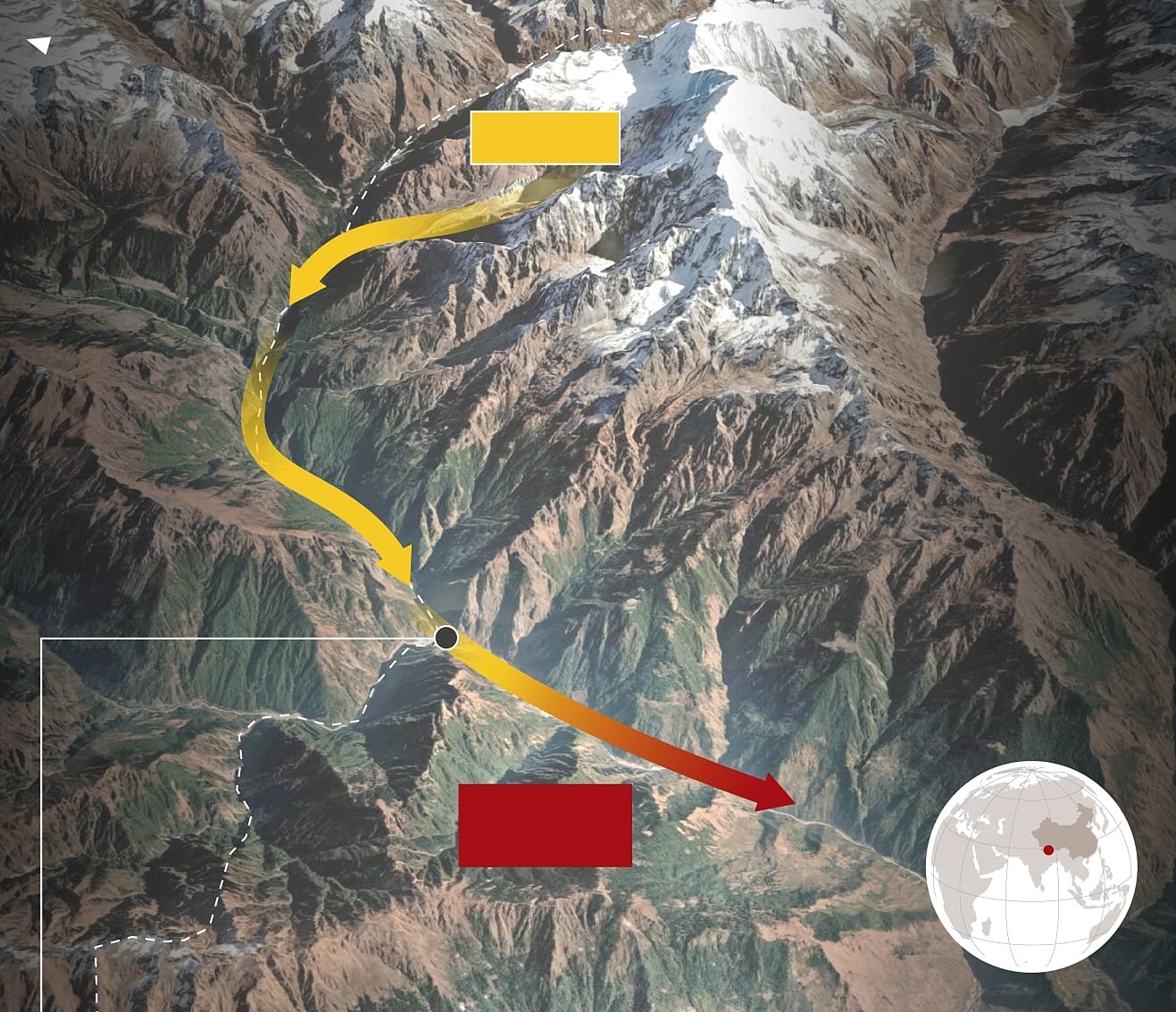
The remote and inaccessible nature of the affected area has compelled experts to rely on satellite images and field data to reconstruct the disaster's progression. They have identified the primary cause of the flash flood as a large section of glacier breaking off and cascading into the valley below. However, the specific triggers for this glacial detachment remain unclear.
Dan Shugar, an expert at the University of Calgary in Canada, explained the mechanics of the event: "The lower part of the glacier, at an elevation of about 5,200 m, separated and fell into the valley below, a drop of 1,200 to 1,300 m from its original position. We will thoroughly investigate the potential role of climate change in this event."
Simon Cook, a glacier expert at the University of Dundee in Scotland, elaborated on the subsequent events. "The collapse triggered a chain reaction, sweeping away substantial amounts of earth, rock, water, and ice, leading to this catastrophic flood. What caused this glacier section to collapse? We cannot definitively determine that at this time."
Cook suggested that warming weather might have contributed to the event, causing ice and snow to melt into water that then flowed into fissures, potentially reaching the glacier's base and acting as "a form of lubricant that allowed the entire mass of ice to slide." He stressed, however, that this explanation is "still speculative" and lacks clear evidence.
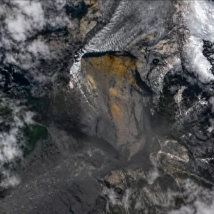 |
Path of the flash flood on the Nepal-China border on August 26. Click image for full view |
Mountainside where the glacier collapse occurred on August 26. Photo: CNA
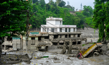
The International Centre for Integrated Mountain Development (ICIMOD), based in Nepal, reported that the immense volume of ice and debris flowing into Lende Khola, a tributary of the Bhote Koshi River, generated a powerful surge. This surge carried sediments and large rocks downstream, causing water levels in the rivers below to rise by 7 to 9 m within 30 minutes. Numerous monitoring stations were either swept away or severely damaged.
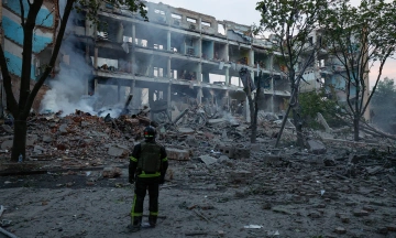
The human toll of the disaster is significant. Nepal police announced today that at least 359 people have died, while Chinese authorities reported three fatalities from the flash flood. Over 900 individuals are still missing in Nepal, including 517 foreign nationals. The Gyirong district, located in the Tibet Autonomous Region on the China-Nepal border, accounts for 558 missing persons, with at least 260 of them being foreigners, predominantly tourists and pilgrims.
 |
Nguyen Tien (According to AFP, BBC, CNA)