Super typhoon Sinlaku intensified on 12/4, becoming the most ferocious storm since the beginning of the year, with sustained winds of 290 km/h and gusts up to 354 km/h.
The storm is heading towards a chain of US islands in the Western Pacific. Approximately 50,000 residents in Rota, Tinian, and Saipan face the risk of severe impact from the storm within the next 48 hours.
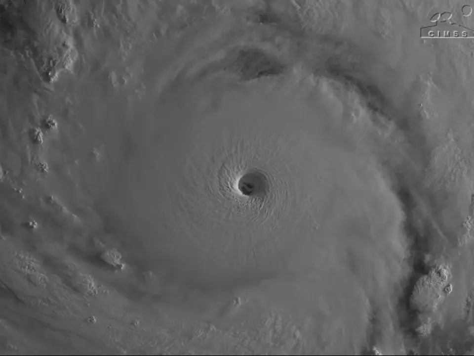 |
Super typhoon Sinlaku's eye as seen from satellite. Photo: NOAA |
As of the evening of 12/4 Pacific time, super typhoon Sinlaku reached its peak strength. The storm is expected to weaken partially before making its closest approach; however, analyses indicate winds will still sustain at 250-258 km/h before moving into the US Northern Mariana Islands from late 13/4 to 14/4.
The islands, located 9,656 km from San Francisco, are preparing for a direct hit. Rota, Tinian, and Saipan have issued typhoon warnings. Guam, home to major US military bases, is also under a lower-level tropical storm warning.
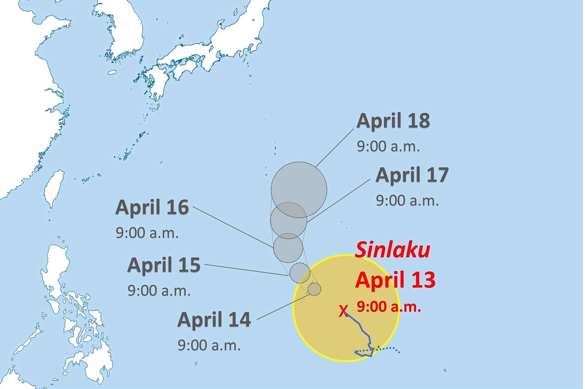 |
Projected path of super typhoon Sinlaku. Graphic: Yomiuri |
United Airlines and regional carrier Micronesian Air Connection have canceled flights until mid-week. Island authorities have also closed schools, government offices, and opened shelters.
In addition to strong winds, the US National Weather Service forecasts rainfall in Guam and Rota could reach 38,1 to 50,8 cm, while Tinian and Saipan could see 20,3 to 38,1 cm from 13/4 to 16/4.
According to experts, super typhoon Sinlaku has a wide impact zone of up to 644 km, meaning heavy rainfall will occur even in areas far from the storm's center. The risk of flash floods and landslides is possible. Dangerous large waves are predicted to rise about 4,6 meters at exposed coral reefs, while storm surges could cause coastal flooding.
The storm is expected to move into the waters near Japan's Ogasawara Islands on 17/4.
Duc Trung (According to SF Chronicle, AP, Japan Daily)