The Ca Mau Provincial People's Council recently approved the project's investment policy, with implementation scheduled from 2027 to 2032. The project will utilize a loan from the Asian Development Bank (ADB) and counterpart funds from the provincial budget.
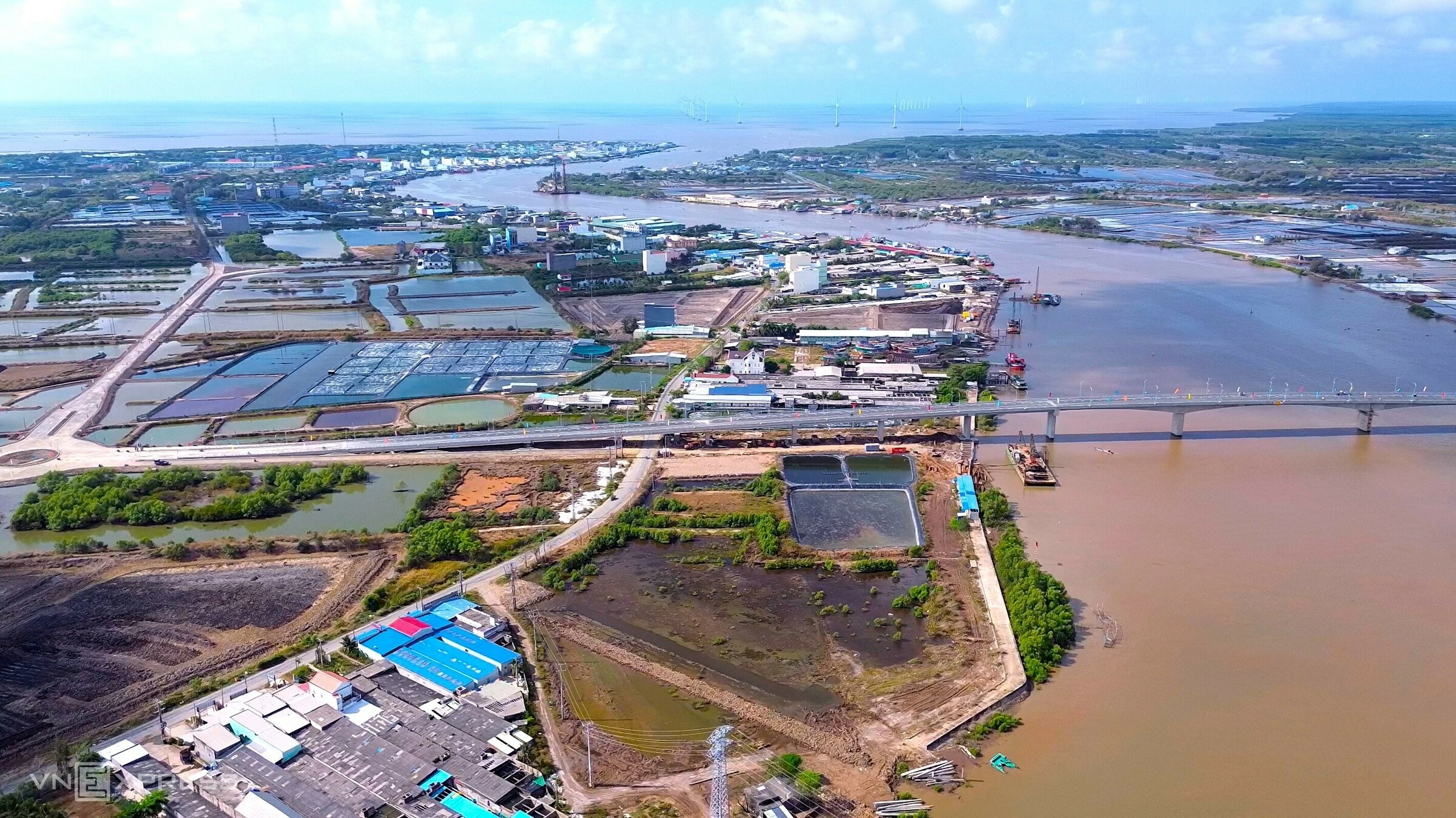 |
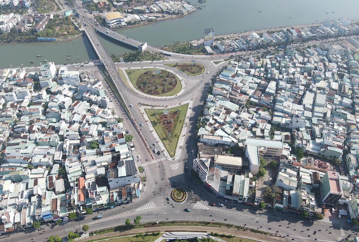
The coastal road's end point will connect with the access road to Ganh Hao Bridge (Ganh Hao commune). Photo: Chuc Ly
The project encompasses a coastal road nearly 56 km long, featuring 16 bridges. Its starting point will connect to the Can Tho coastal road in Hiep Thanh ward, while its end point will link to the access road to Ganh Hao Bridge, Ganh Hao commune.
Designed as a class III delta road, the route will have two lanes and a design speed of 80 km/h. The roadbed will be 12 m wide, with a carriageway 7 m wide. The section passing through Ganh Hao commune will be developed according to urban planning, featuring a right-of-way of 24-40 m.
Additionally, the project includes a branch route approximately 3 km long, connecting to the southern Hau River route. This branch will be designed as an urban main arterial road with a right-of-way of 36 m.
Along the entire route, new bridges will be constructed. Existing bridges that do not meet operational demands will be upgraded and expanded to match the road's scale.
According to the Ca Mau Provincial People's Council, the project aims to gradually complete the planned coastal road network, enhance transport infrastructure connectivity in the Mekong Delta, and maximize the effectiveness of ongoing projects in the region.
This infrastructure is also expected to stimulate the development of the marine economy, logistics, and tourism. Furthermore, it will improve climate change adaptation capabilities and serve national defense, security, and search and rescue operations in the coastal area.
Chuc Ly