Around 2 PM, heavy rain deluged Da Lat City and Lac Duong District, quickly inundating low-lying areas.
Phan Dinh Phung Street (Xuan Huong Ward) was hardest hit. Water from the Phan Dinh Phung stream rose rapidly, overflowing onto the road after just an hour of intense rainfall. The floodwaters reached a depth of 50 cm and stretched for almost one km from the Xo Viet Nghe Tinh roundabout towards Xuan Huong Lake.
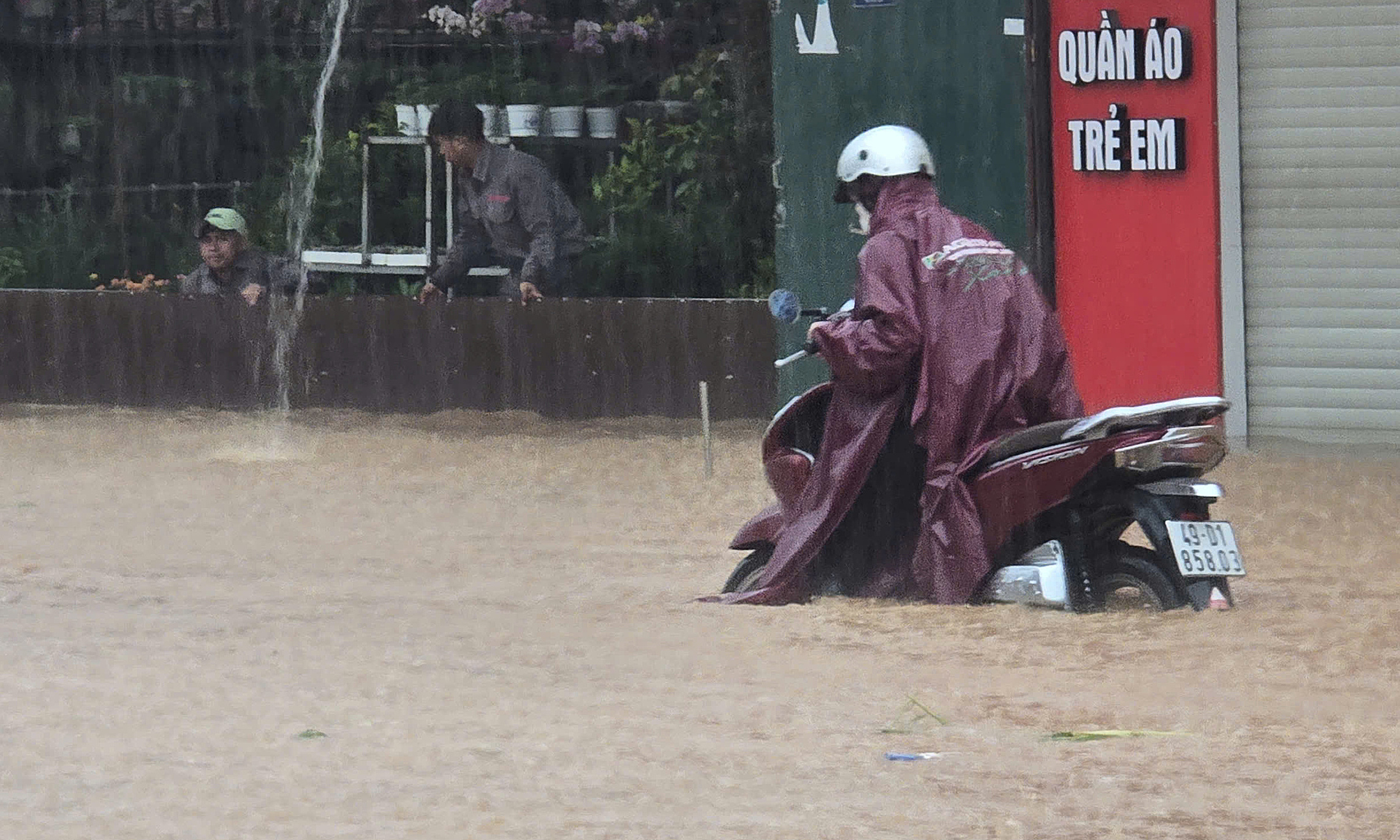 |
Deep flooding on Phan Dinh Phung Street. Photo: Minh Bang |
Deep flooding on Phan Dinh Phung Street. Photo: Minh Bang
Shops and homes along Phan Dinh Phung Street were forced to close and residents scrambled to protect their belongings from the rising waters. People used makeshift barriers to warn drivers away from flooded areas, preventing vehicle damage and potential accidents due to the strong currents.
Other streets, including Xo Viet Nghe Tinh, Tran Quoc Toan, Thanh Mau, and Lu Gia, also experienced significant flooding, leading to traffic jams. Floodwaters from overflowing streams also inundated gardens and crops, impacting yields and quality.
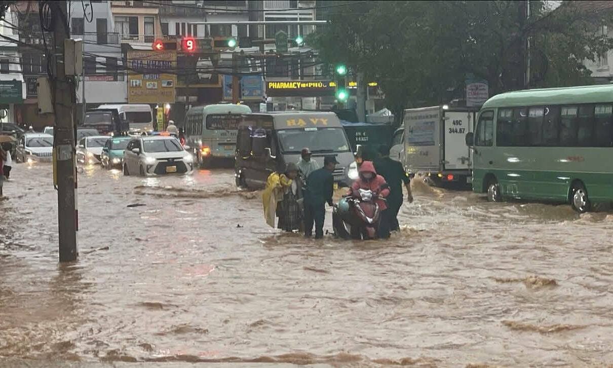 |
Traffic jam on Hai Thuong Street, with civil defense forces assisting drivers with stalled vehicles. Photo: Provided by residents |
Traffic jam on Hai Thuong Street, with civil defense forces assisting drivers with stalled vehicles. Photo: Provided by residents
By nearly 5 PM, floodwaters in the older sections of Da Lat City had receded and life began to return to normal.
Da Lat's sloping terrain, combined with an overburdened drainage system and clogged drains filled with mud and debris, contributes to frequent flooding. Increased concreting and greenhouse construction further exacerbate the problem by preventing rainwater absorption, leading to rapid runoff and flooding in low-lying areas.
Truong Ha