On 20/8, hundreds of cubic meters of earth and rocks slid from the mountainside onto National Highway 40B, specifically the section through Kon Dao commune. The landslide stretched for about 50 m, making it impassable for many cars and motorbikes.
Mang Roi Pass landslide, excavator clearing earth and rocks from the road. *Video: Trung Manh*
Immediately after the incident, traffic police arrived at the scene, set up reflective tape, placed warning signs, and directed vehicles. The Quang Ngai Department of Construction instructed the road management unit to mobilize machinery to clear the earth and rocks, reopening the road. Currently, vehicles can pass through.
The Mang Roi Pass bypass is located on National Highway 40B, bordering Kon Dao and Tu Mo Rong communes. It connects the western part of Quang Ngai with neighboring localities. The route was built to reduce safety risks on the pass, but landslides still occur frequently during prolonged rain.
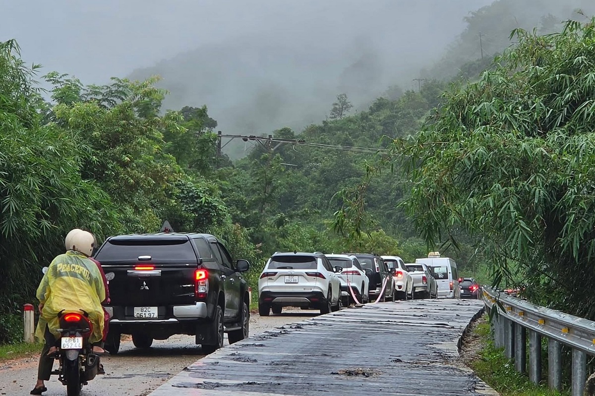 |
Cars were congested this morning on the Mang Roi Pass bypass. *Photo: Trung Manh*
Heavy rain also caused landslides on many provincial roads in the western part of the province. On Provincial Road 673, specifically the Ngoc Linh - Mang Ri section, earth and rocks from upslope embankments spilled onto the road, with some locations experiencing hundreds of cubic meters of debris, making passage difficult for vehicles.
At the site, some sections of the embankment continued to show signs of slipping. Fallen trees and debris covered parts or the entire road surface, posing risks to commuters. Authorities advised residents to observe carefully, reduce speed, and avoid attempting to pass through active landslide areas.
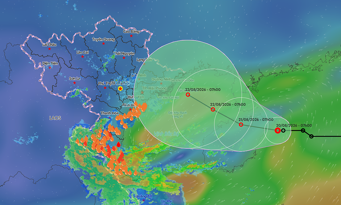
According to meteorological agencies, a tropical depression in the northern East Sea is moving westward and has the potential to strengthen. From 20/8 to 22/8, the Central and Northern regions are expected to continue experiencing rain, with mountainous areas facing risks of flash floods and landslides.
By Pham Linh