The National Center for Hydro-Meteorological Forecasting announced that a tropical convergence zone, with its axis positioned over the southern Northern Delta and North Central region, will trigger significant rainfall starting the night of 17/8. The heaviest rainfall is expected in Quang Ninh, Bac Ninh, Thai Nguyen, southern Tuyen Quang, Lao Cai, Phu Tho, Son La, Hanoi, Hung Yen, Ninh Binh, Thanh Hoa, Nghe An, and Ha Tinh. These areas are forecast to receive a total rainfall of 150-300 mm, with some localized spots exceeding 450 mm.
Meanwhile, Lai Chau, Dien Bien, northern Tuyen Quang, Cao Bang, and Lang Son are predicted to receive a total rainfall of 100-200 mm, with localized areas potentially exceeding 300 mm. There is a risk of intense downpours, with rainfall potentially surpassing 100 mm within three hours.
Prior to this major rainfall event, from the evening of 15/8 to 16/8, northern Vietnam and the provinces from Thanh Hoa to Nghe An experienced thunderstorms. These storms brought 10-30 mm of rain, with some localized areas receiving over 80 mm, primarily concentrated in the evening, night, and morning hours. This rain also brought an end to a week-long heatwave across the northern region.
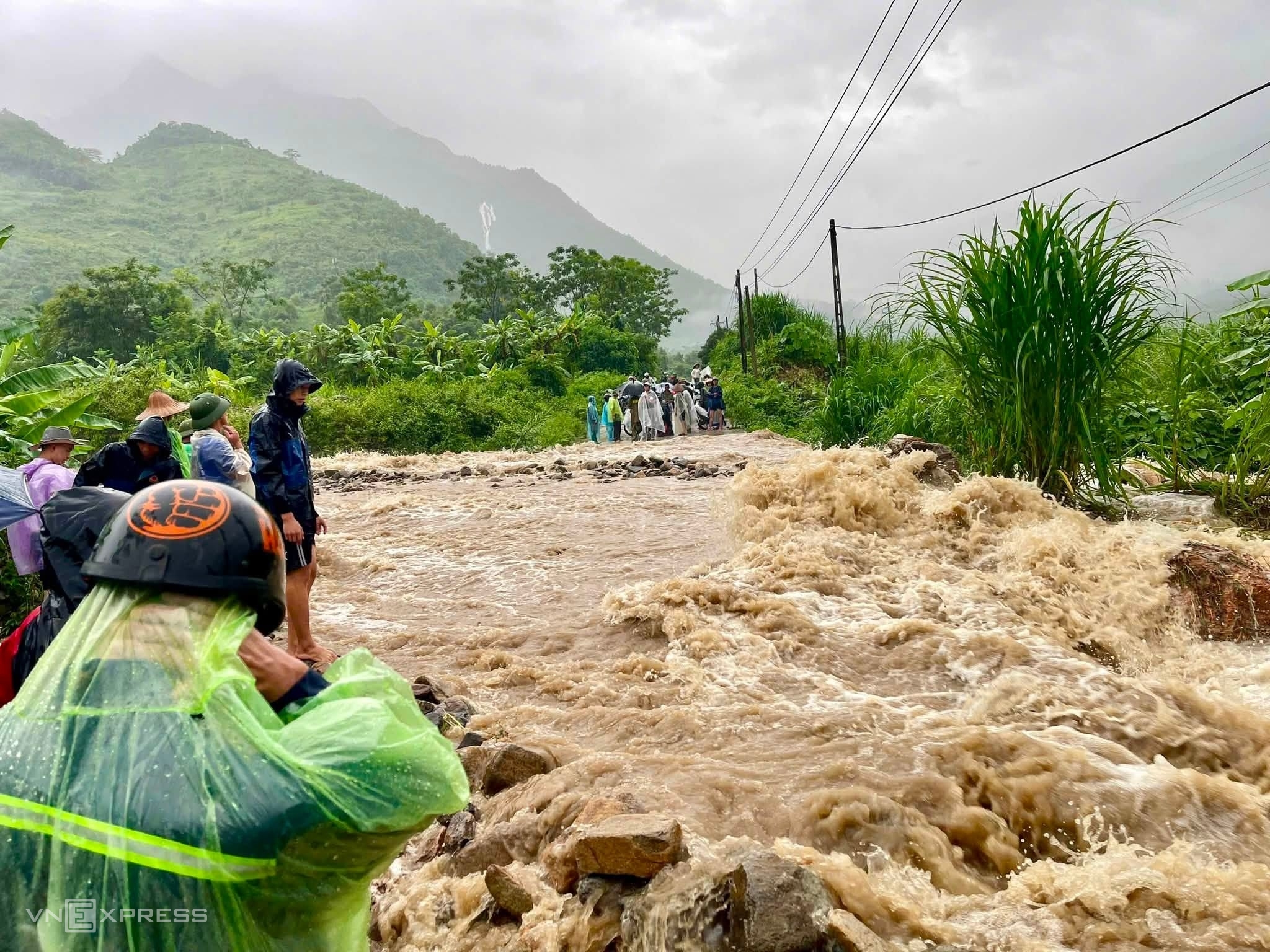 |
Rain and floods in Muong Kim commune on the morning of 17/7. Photo: Muong Kim Commune People's Committee. |
The thunderstorms carry a risk of whirlwinds, lightning, hail, and strong gusts. These weather phenomena could cause damage to crops, homes, public infrastructure, and transportation networks. Heavy rainfall may lead to flooding in low-lying areas, urban centers, and industrial zones. Additionally, flash floods are a concern along small rivers and streams, and landslides could occur on steep slopes.
Today, the National Steering Committee for Civil Defense urged local authorities to closely monitor the developments of heavy rain and the associated risks of floods, inundation, flash floods, and landslides. This proactive monitoring aims to enable timely and effective response measures. Provinces and cities are required to review areas near rivers, streams, low-lying regions, and zones susceptible to flash floods and landslides. The objective is to facilitate the evacuation of residents when necessary, clear waterways, and deploy local response forces.
Functional forces must control access at underpasses, overflows, deeply flooded areas, and locations with swift currents or landslide risks. They should restrict the passage of people and vehicles if safety cannot be guaranteed. Furthermore, critical infrastructure, ongoing construction projects, industrial zones, urban areas, mines, and mineral exploitation sites are also instructed to review their safety plans.
Local authorities must also proactively develop plans to protect dikes, reservoirs, and downstream areas. This includes operating reservoirs appropriately and preparing drainage strategies to prevent inundation. These measures aim to safeguard agricultural production, residential areas, and industrial zones. Localities must also ensure that rescue forces and vehicles are ready to respond to any emergencies.
Gia Chinh
>>7-day weather forecast here.