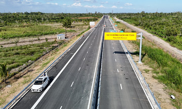
The Bien Hoa urban center axis project, spanning 5,4 kilometers, involved a total investment exceeding 1,500 billion VND. It commences at An Hao bridge and concludes at its intersection with Nguyen Ai Quoc road. This initiative stands as one of Dong Nai province's pivotal projects, aiming to improve traffic flow from Ho Chi Minh City (TP HCM) to central Bien Hoa and foster urban development along the Dong Nai river.
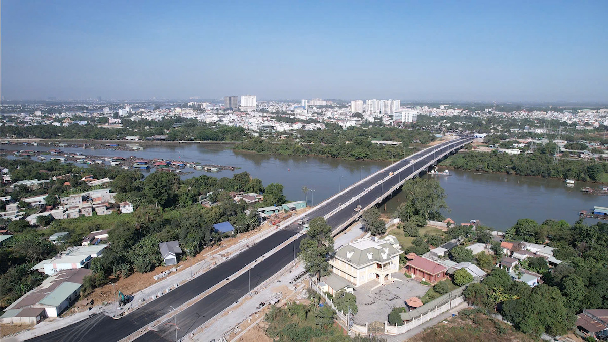 |
Thong Nhat bridge on the Bien Hoa urban center axis road. *Photo: Phuoc Tuan*
The route comprises two branches. Branch one extends over 3,7 kilometers, starting at the intersection with Vo Thi Sau road and ending at the Dang Van Tron road junction near An Hao bridge, connecting to TP HCM. Branch two spans over 1,7 kilometers, beginning at the roundabout intersecting with branch one and concluding at the Dang Van Tron road junction near Buu Hoa bridge, also connecting to TP HCM.
On branch one, the project includes the construction of Thong Nhat bridge, which spans the Dong Nai river. The bridge is approximately 765 meters long, with the main span measuring 559 meters. It features 6-10 lanes and varies in width from 45 to 95 meters.
Concurrently, Long Khanh urban ring road one also underwent its technical opening. This route extends approximately 4,4 kilometers and involved an investment of over 1,300 billion VND. It encircles the urban center, featuring a 45-meter-wide roadbed, a 14-meter-wide carriageway, 6-meter-wide sidewalks on each side, and a 19-meter-wide median strip. The project also incorporates independent storm and wastewater drainage systems, positioned along both sides of the route.
Once operational, the road will alleviate traffic pressure on national highway one through the urban center, complete the inner-city ring road, stimulate investment attraction, and connect Long Thanh airport with industrial parks in Cam My and Thong Nhat.
Phuoc Tuan