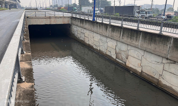
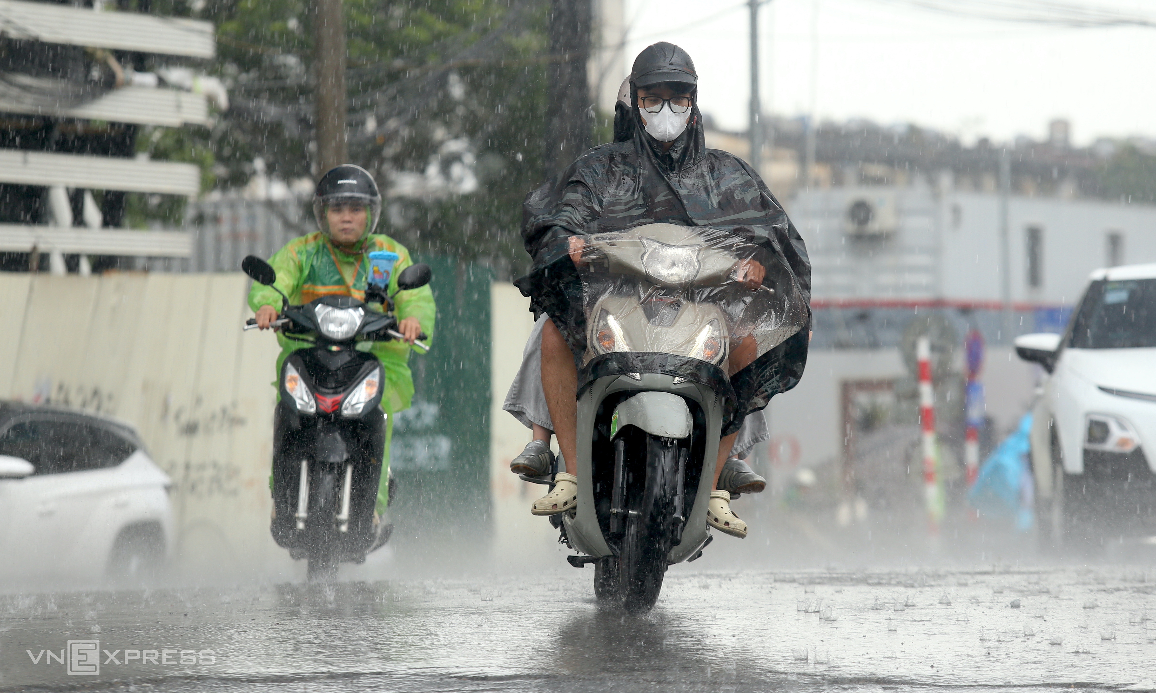
Heavy rain is forecast for Ha Noi and several northern and north-central provinces until 17/9, with some areas potentially receiving over 250 mm. This weather pattern increases the risk of inundation, flash floods, and landslides across the region.
The National Center for Hydro-Meteorological Forecasting (NCHMF) announced that on 16-17/9, Ha Noi, Hung Yen, Ninh Binh, Thanh Hoa, Phu Tho, northern Lao Cai, and northern Nghe An could see rainfall between 70-170 mm, with isolated areas exceeding 250 mm. Southern Son La, Tuyen Quang, Thai Nguyen, Hai Phong, Bac Ninh, and southern Nghe An are expected to receive 40-80 mm, with some locations surpassing 150 mm. The meteorological agency warns of potential rainfall intensity exceeding 100 mm in three hours, which could cause flooding in low-lying and urban areas.
The heavy rain results from a combination of easterly to southeasterly winds and cold air. From the night of 15/9 to the morning of 16/9, Bac Bo and Bac Trung Bo generally received 50-100 mm of rain. Some areas recorded higher amounts, including Nghia Khanh (Nghe An) with 174 mm, Tay Hieu with 166 mm, Tam Van (Thanh Hoa) with 148 mm, and Cao Duong and Quy Hoa (Phu Tho) with 127 mm and 123 mm respectively.
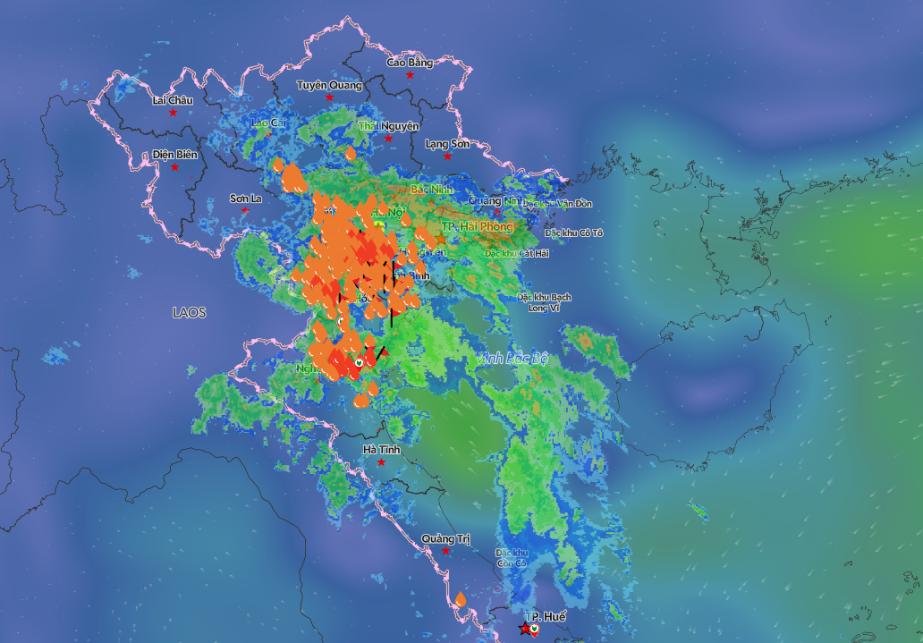 |
The heavy rain area is concentrated in the southern Red River Delta and Bac Trung Bo. Photo: VNDMS |
From 7 p.m. on 10/9 to 6 a.m. on 16/9, the midland and delta regions of Bac Bo experienced widespread rainfall of 150-300 mm. The area from Ha Tinh to Quang Ngai recorded 150-400 mm, with Quang Tri and Hue City receiving 400-600 mm. Some locations saw exceptionally high total rainfall, such as Ta Long (Quang Tri) with 896 mm, La To with 808 mm, Dinh Bach Ma (Hue City) with 1.321 mm, Nham with 774 mm, and Ta Luong with 791 mm.
Prolonged rain has caused water levels to rise on many rivers in Bac Bo, Thanh Hoa, and Nghe An. At 1 a.m. on 16/9, the Boi River at Hung Thi station reached 12,93 m, just 0,07 m below alert level 3. The Buoi River at Thach Quang station was at 16,31 m, 0,31 m above alert level 3.
The Yen River at Chuoi station peaked at 3,23 m at 7 p.m. on 15/9, 0,27 m below alert level 3, before gradually receding. By 1 a.m. on 16/9, the water level was 3,13 m, 0,13 m above alert level 2.
In Ninh Binh, river levels continue to rise, generally above alert level 1 and nearing alert level 2. The Hoang Long River at Ben De station reached 3,45 m, 0,05 m below alert level 2. The Day River at Phu Ly station was at 3,29 m, 0,21 m below alert level 2.
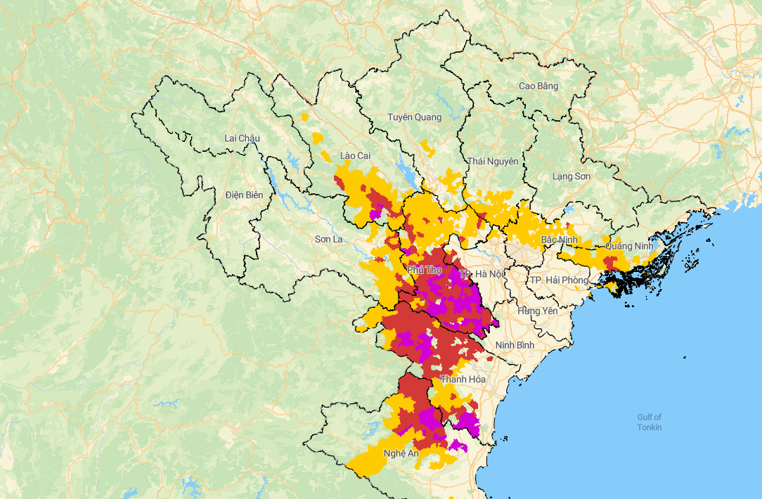 |
Risk of landslides and flash floods at 6:45 a.m. Photo: Cuc Khi tuong thuy van |
The meteorological agency predicts a new flood surge on rivers in Bac Bo and Thanh Hoa on 16/9. The Boi River's peak flood level could exceed alert level 3, while the Hoang Long River and smaller rivers in Thanh Hoa may reach alert level 1-2, with some areas above alert level 2.
In the next 6 hours, Son La, Phu Tho, Lao Cai, Quang Ninh, Thanh Hoa, and Nghe An face a high risk of flash floods on small rivers and streams, and landslides on slopes. The natural disaster risk level is warned at level 1, with Phu Tho specifically at level 2 out of three levels.
Gia Chinh