Hanoi experienced significant rainfall from yesterday afternoon, lasting throughout the night in various wards and communes, due to the influence of southeastern winds following a tropical depression combined with cold air. While the rain eased this morning, signs of intensification began to reappear by midday.
Rainfall measurements from 19h on 14/9 to 13h today show Thanh Oai recorded 140 mm. Hong Son, Ung Hoa, and Van Dinh each received approximately 130 mm. Within the inner city, Xuan Dinh saw over 110 mm of rain, while Lang, Dai Thanh, Tu Liem, and Thanh Tri all measured above 100 mm.
The National Center for Hydro-Meteorological Forecasting announced at 13h30 that satellite imagery, lightning detection, and weather radar indicated active and developing convective clouds. These clouds are currently over areas such as Chuong My, Hoang Mai, Kien Hung, Linh Nam, Phu Luong, Tuong Mai, Vinh Tuy, Yen So, Thanh Tri, Dai Thanh, Phu Dong, Viet Hung, Dong Anh, and Bo De.
Over the next three hours, showers and thunderstorms are expected to continue in these regions. The system is then likely to expand to include Soc Son, Noi Bai, Me Linh, Quang Minh, Tay Tuu, Xuan Phuong, Yen Nghia, An Khanh, Hoai Duc, Dan Phuong, Quoc Oai, Xuan Mai, Hoa Lac, Ba Vi, Tay Ho, and other nearby locations.
Localized rainfall could exceed 50 mm. Heavy rain occurring during rush hour poses a risk of localized flooding, reduced visibility, and traffic disruption. Additionally, thunderstorms may bring whirlwinds, lightning, hail, and strong gusts.
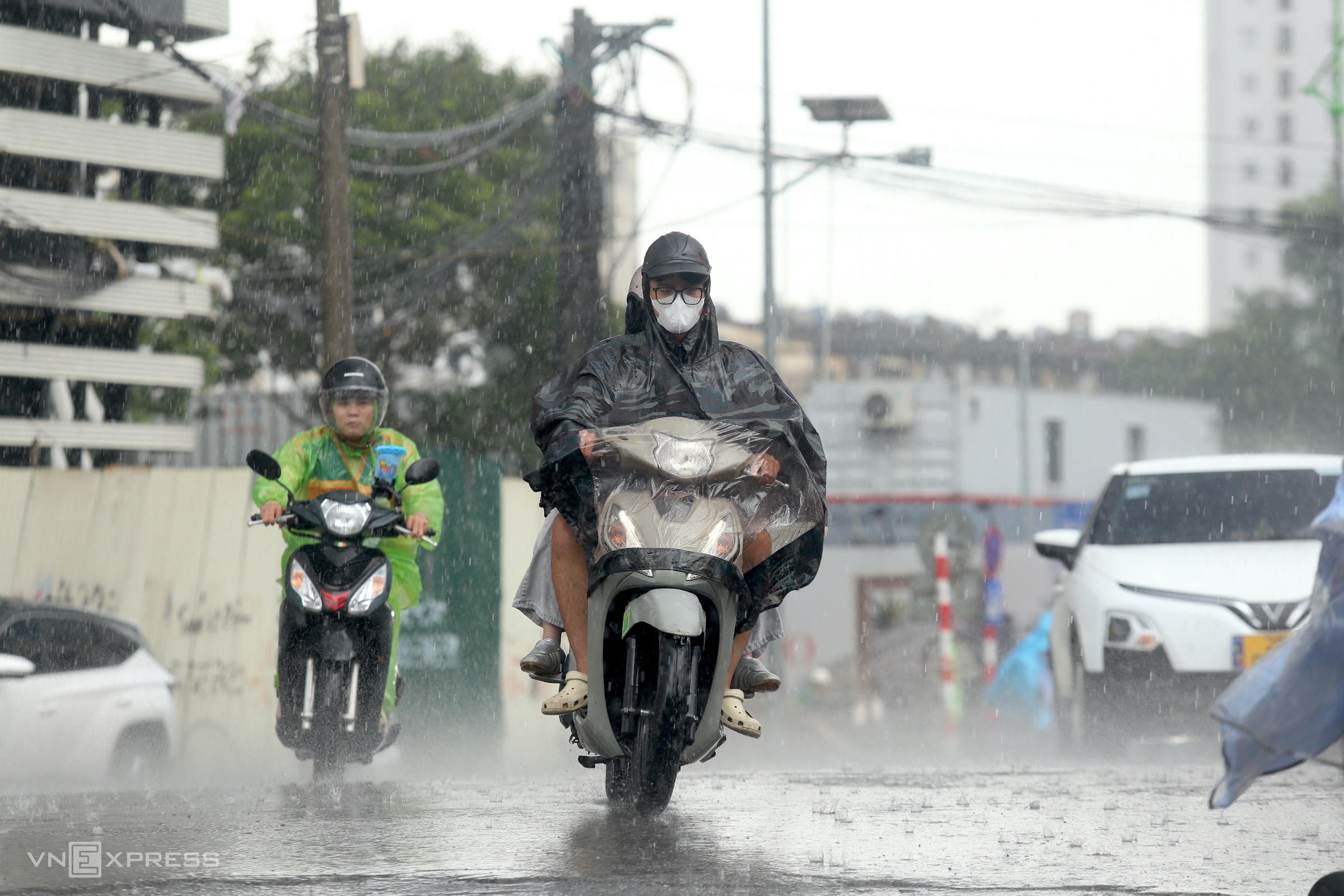 |
Heavy rain in Giang Vo, Hanoi, on the afternoon of 15/9. Photo: Gia Chinh |
The rainfall since last night has already significantly impacted Hanoi's traffic. On the morning of 15/9, even though the rain eased around 9h, many routes, including Nguyen Van Linh, Dam Quang Trung, Nguyen Trai, Thai Ha, and Truong Chinh, still experienced traffic jams stretching for 2-3 km. Some areas also reported flooding and standing water.
According to the meteorological agency, Hanoi on 15/9 will experience heavy to very heavy rain, with temperatures ranging from 23-27 degrees C and northeast to east winds at levels 2-3. Rain in the northern and north central regions is expected to persist on 16/9, after which the area affected by heavy rain is projected to narrow.
In mountainous areas, heavy rain could trigger flash floods in small rivers and streams, and landslides on slopes.
Gia Chinh