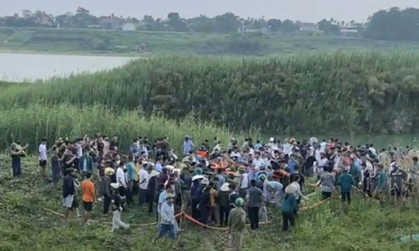
The Red River Landscape Boulevard Axis, a pivotal project for Hanoi's urban development, is identified as one of nine key development axes in the capital's 100-year master plan. This ambitious undertaking aims to transform the Red River banks into a central green space, alongside a vibrant economic, commercial, service, creative cultural, and urban corridor. The project covers an extensive area of 11,418 hectares and impacts an estimated 247,431 residents from 70,474 households across 16 wards and communes. Recognizing the project's significant scale and direct impact on livelihoods, the Hanoi People's Committee has committed to ensuring the legal and legitimate rights and interests of all affected residents.
A core principle of the project is to prioritize the construction of resettlement areas and livelihood reconstruction initiatives before any land acquisition takes place, ensuring stability for affected communities. The city adheres to the principle that new homes will be equal to or better than previous residences. Resettlement will be implemented in phases, targeting specific areas and component projects, based on detailed planning, technical solutions, and practical conditions, rather than a simultaneous city-wide approach. Main resettlement locations are planned for Long Bien, Linh Nam, and Bat Trang.
The proposed resettlement areas are designed to meet the housing needs of affected households. The Long Bien urban resettlement area, spanning approximately 201 hectares, is expected to provide 40,000 to 42,000 apartments. The Linh Nam urban resettlement area, covering about 98 hectares, will offer 15,000 to 16,000 apartments. Additionally, a multi-purpose urban area in Thu Lam and Dong Anh communes, with a scale of around 700 hectares, is undergoing detailed 1/500 planning procedures and is projected to provide 16,000 to 18,000 residential plots. In total, these areas are anticipated to deliver 79,000 to 85,000 residential units, sufficient to meet the resettlement demands of households impacted by the project.
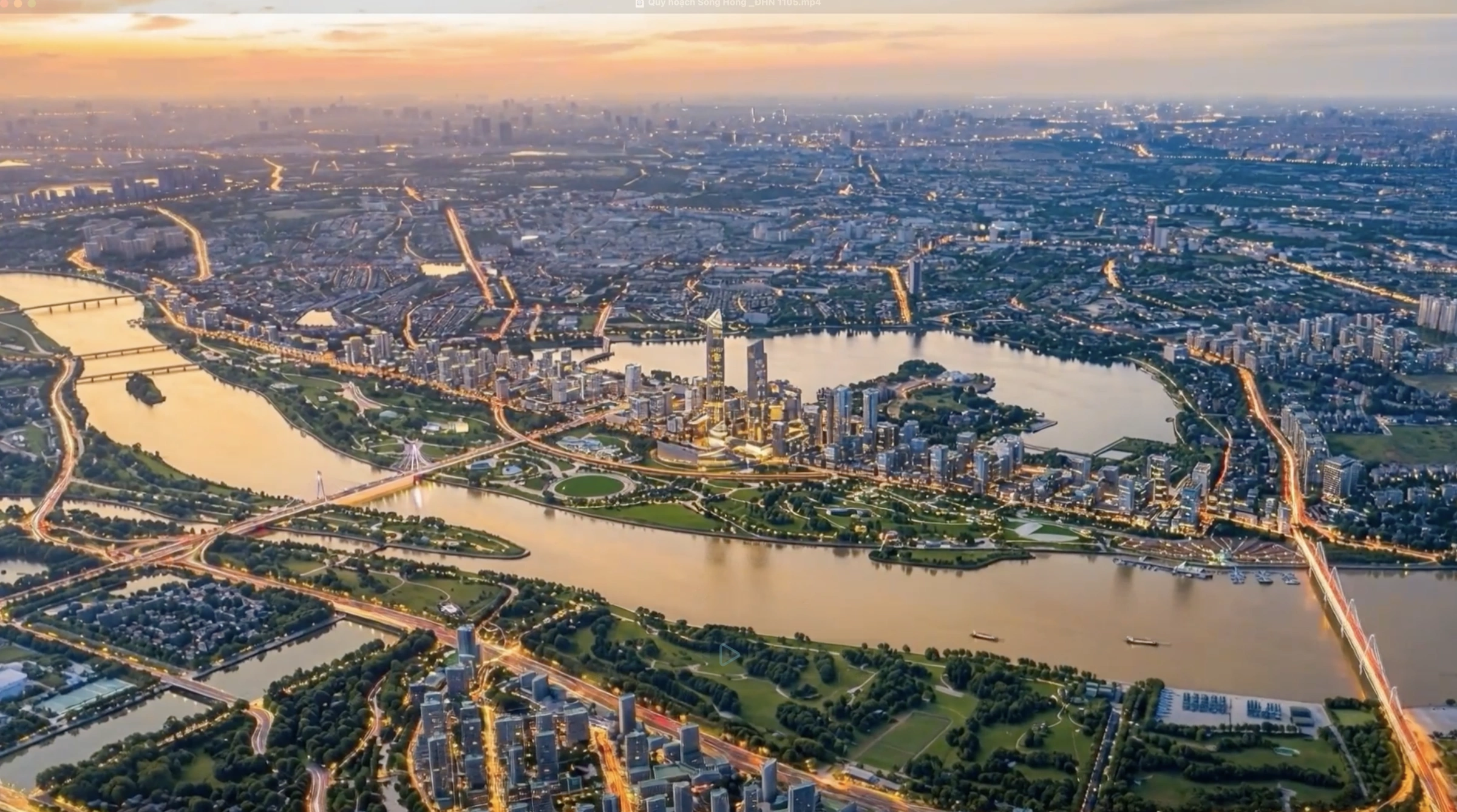 |
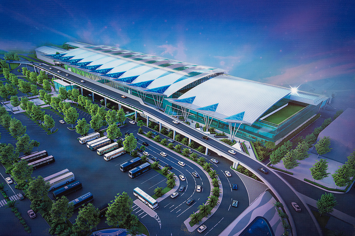
Architectural rendering of the Red River Landscape Axis. Photo: Hanoi People's Committee |
Architectural rendering of the Red River Landscape Axis. Photo: Hanoi People's Committee
The Red River Landscape Boulevard Axis is more than just a transportation or urban renewal initiative; it is a comprehensive project integrating flood control, river management, urban development, resettlement, landscape parks, and economic-service infrastructure along both riverbanks. This undertaking represents the largest restructuring of the Red River's banks in decades, marking a significant shift in Hanoi's development orientation towards a river-oriented urban model, rather than one that previously turned its back on the river.
The investment policy, approved by the Hanoi People's Council, outlines a project scope of approximately 11,418 hectares, divided into five component groups:
The park group includes 11 major projects, such as: the Trang Viet riverside park cluster in Me Linh and Thien Loc communes (approximately 1,113.8 hectares); the Tam Xa riverside park cluster in Thien Loc, Vinh Thanh, and Dong Anh communes (around 397.5 hectares); the Long Bien - Cu Khoi riverside park cluster in Bo De, Long Bien wards and Bat Trang commune (about 472 hectares); the Hong Ha ward riverside park (approximately 383.4 hectares); and the Linh Nam, Thanh Tri, Nam Phu, and Hong Van communes riverside park cluster (around 390.9 hectares).
The traffic group encompasses two landscape boulevards running along both sides of the Red River: the right bank dike route, approximately 45.35 km long, and the left bank dike route, about 35 km long.
For the flood control group, the city will implement embankment and river training along the left bank of the Red River, stretching approximately 33.9 km. Additionally, riverbed and bank training will occur in the Xuan Quan - Phung Cong area of Bat Trang commune, covering about 77 hectares.
The resettlement group comprises three component projects: the Long Bien urban resettlement area, the Linh Nam urban resettlement area, and the craft village urban resettlement area in Bat Trang commune, covering approximately 120 hectares.
Regarding the independent site clearance group, the city will phase investments to align with the progress of each component project. During phase 2026-2030, Hanoi will prioritize investment in key infrastructure, including: the two landscape boulevards along the Red River, river embankment and training works, public parks in Phu Thuong ward and Hong Ha ward's riverside area, the planned urban resettlement areas, and independent site clearance projects. From 2030 to 2038, the city will continue to complete the remaining component projects.
The preliminary total investment for the project is estimated at 736,963 billion VND. The city plans to implement the project through public-private partnership (PPP) and build-transfer (BT) contracts. Funding will also be generated by utilizing urban development land within the project scope and a portion of land from delayed projects.
The Hanoi People's Committee affirmed its commitment to continuous collaboration with relevant ministries, agencies, experts, and local communities. This cooperation aims to ensure the project adheres to legal regulations, guarantees flood prevention safety, protects the environment, and balances the interests of the State, residents, and businesses.
Son Ha