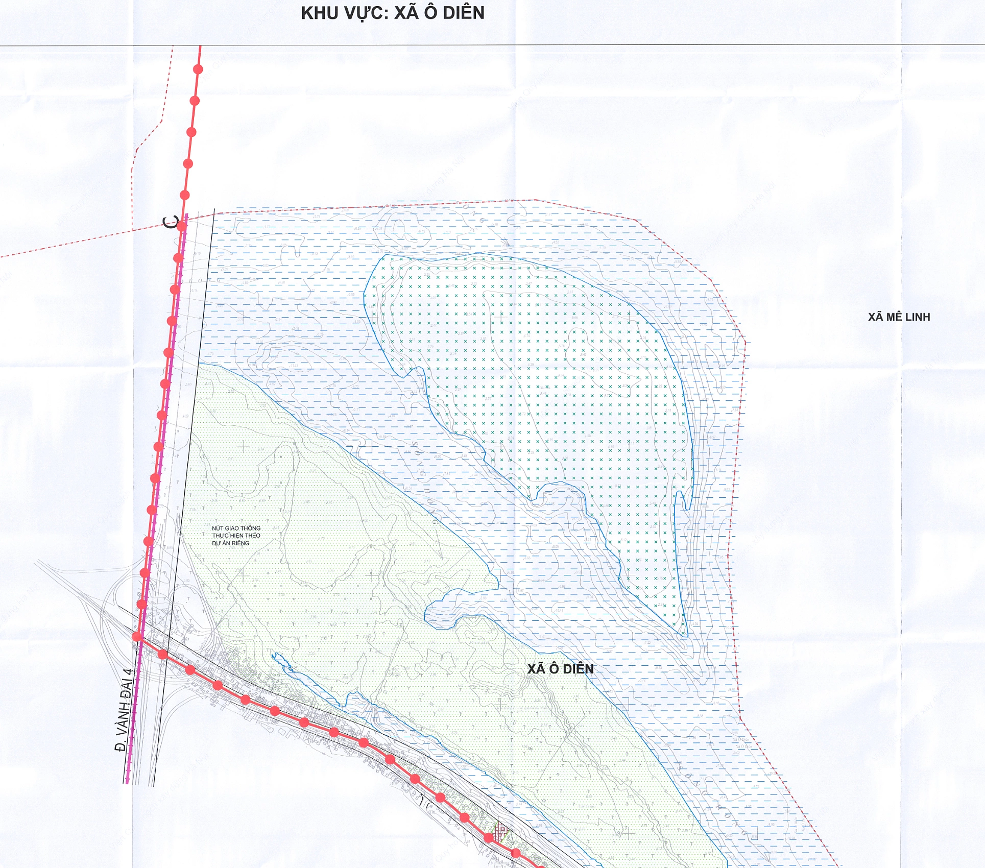
 |
The commune's economic structure is directed towards prioritizing industry-construction, trade-service, and agriculture. |
O Dien commune spans 32.06 km2 with a population exceeding 97,000. It borders Tay Tuu, Thuong Cat wards and Lien Minh, Dan Phuong, Hoai Duc, Me Linh, Yen Lang communes. According to the urban subdivision master plan, this area is slated for development that preserves its ecological spaces, waterways, and riverside landscapes. The commune boasts strengths in high-quality agriculture, integrated with traditional craft villages producing distinctive products. The commune's economic structure is oriented towards prioritizing industry-construction, trade-service, and agriculture.
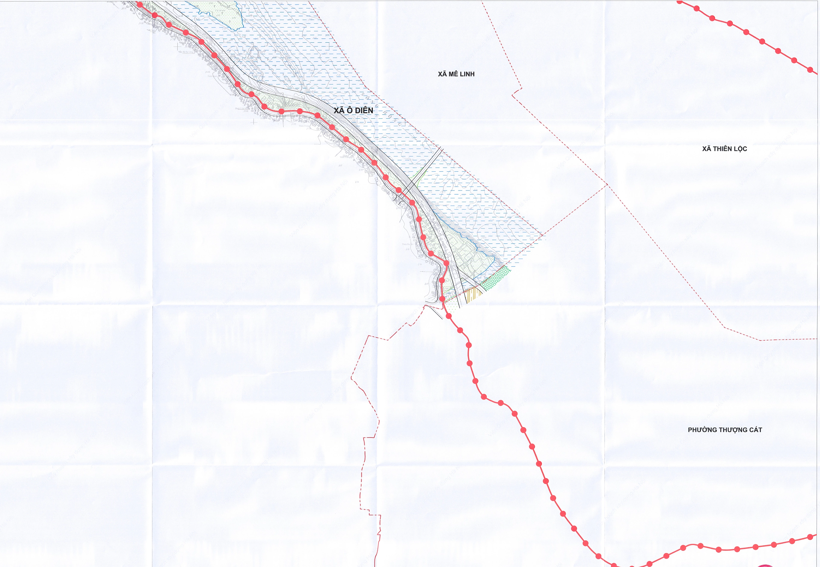 |
Agriculture still plays a vital role in many areas, with specialized regions for flowers and ornamental plants. Me Linh is also a hub for producing and distributing flowers and ornamental plants throughout the region and the country. Industry-construction is developing, with small and medium-sized production facilities and logistics operations concentrated along main transport axes. |
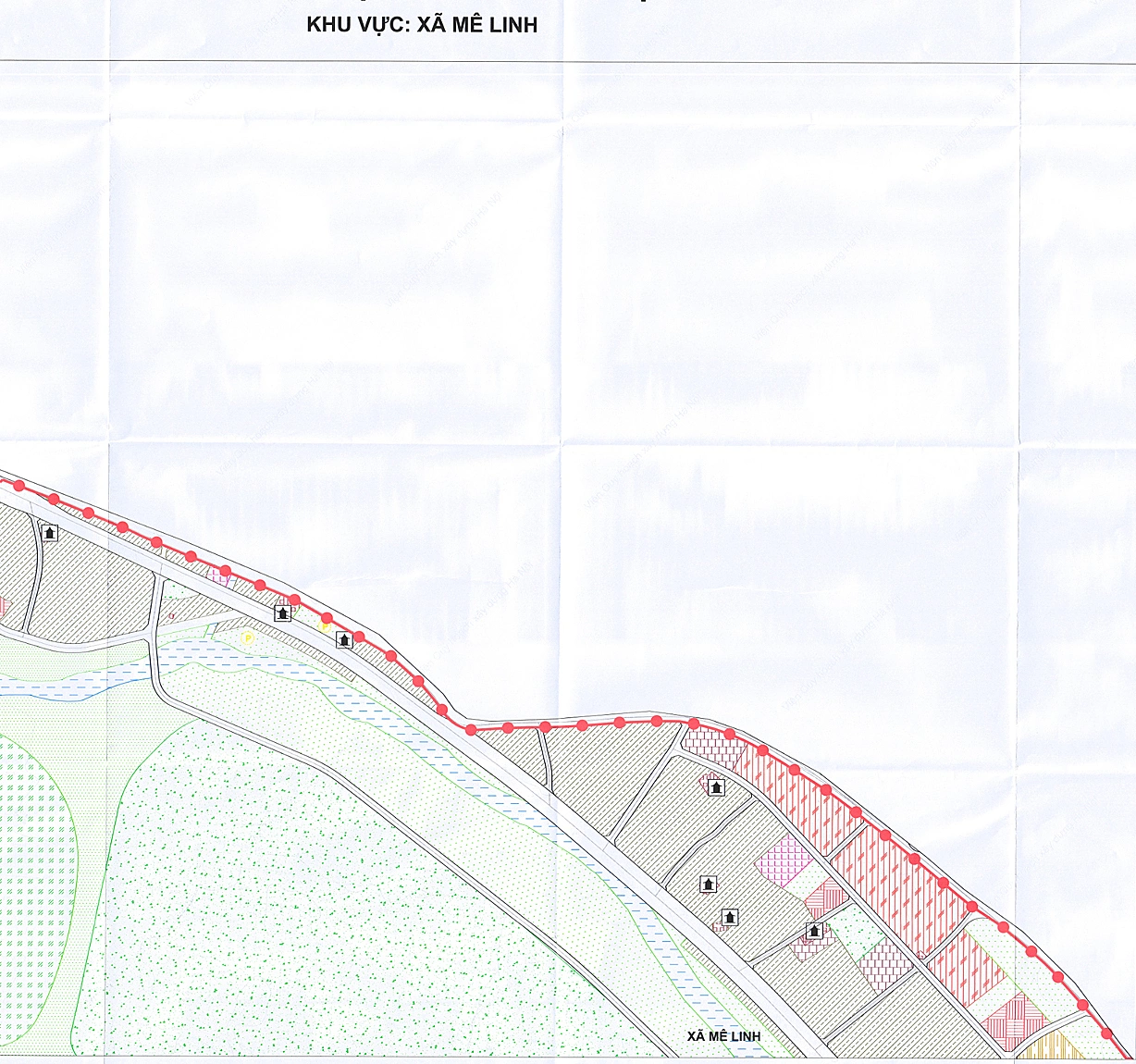 |
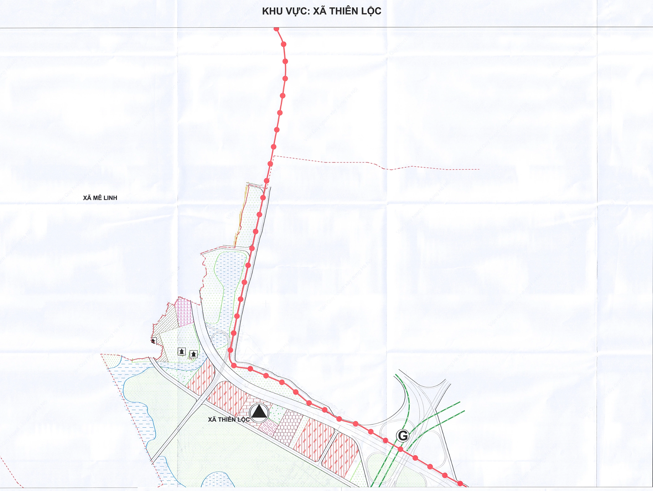
Thien Loc currently hosts the Thang Long Industrial Park, and is situated along the corridor connecting Noi Bai airport, fostering the development of industry, transport, and logistics. |
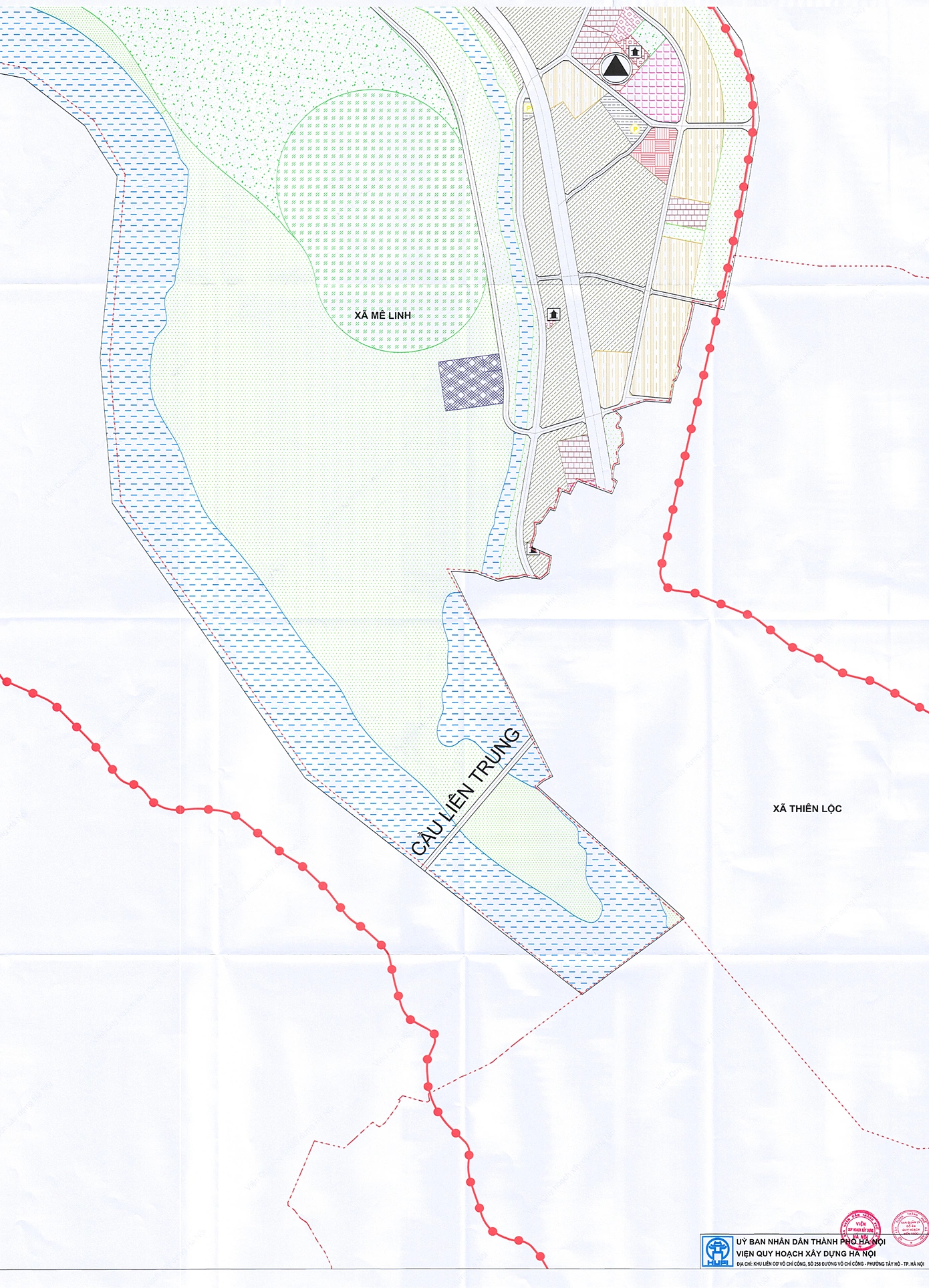
Me Linh commune covers 34.97 km2 and has a population of over 62,000. It borders Thuong Cat ward and Phuc Thinh, Thien Loc, Tien Thang, Yen Lang, O Dien, Quang Minh communes. The land use master plan indicates that Me Linh's development will primarily focus on ecological spaces, agriculture, and riverside landscapes. Residential areas, public facilities, and construction land are concentrated in the east and along the dike road. Agriculture remains crucial in many areas, featuring specialized zones for flowers and ornamental plants. Me Linh also serves as a hub for flower and ornamental plant production and distribution within the region and nationwide. Industry-construction is developing, with small and medium-sized production facilities and logistics operations concentrated along main transport axes.
 |
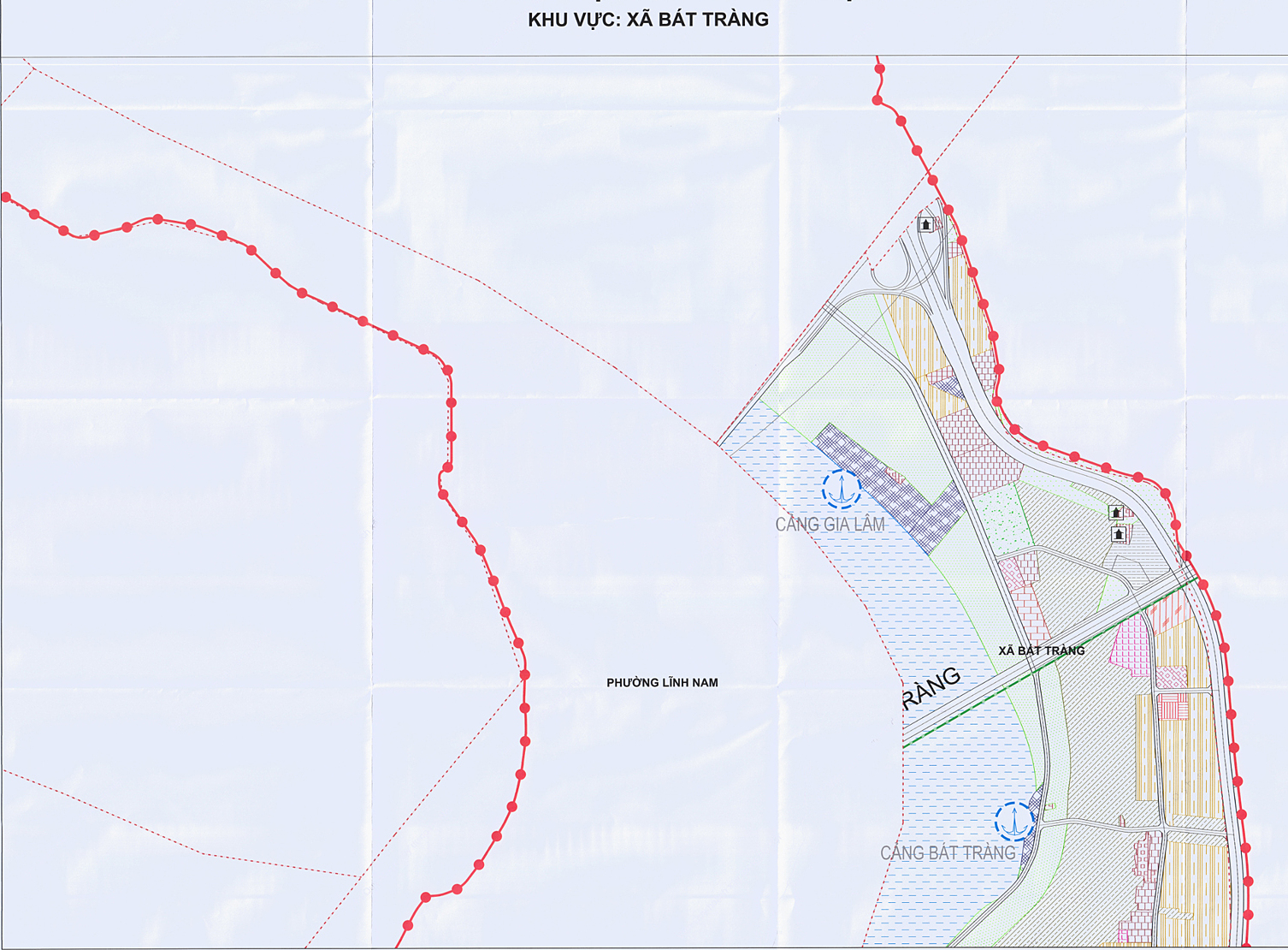
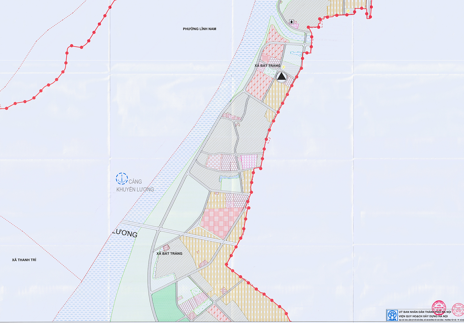
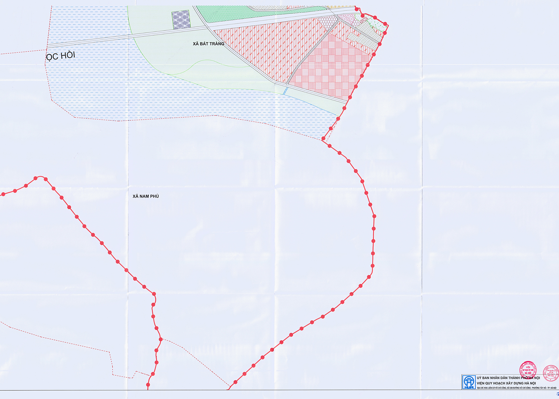
Bat Trang commune covers 20.67 km2 with a population of approximately 49,000, bordering Linh Nam, Long Bien wards, Gia Lam, Nam Phu, Thanh Tri communes, and Hung Yen province. |
 |
According to the master plan, Bat Trang is oriented towards riverside urban development, preserving its craft village spaces, and integrating service, transport, and ecological functions. Construction land, residential areas, and service facilities are concentrated along the dike-side transport route; the river floodplain area is primarily designated for green spaces, agriculture, and waterways. |
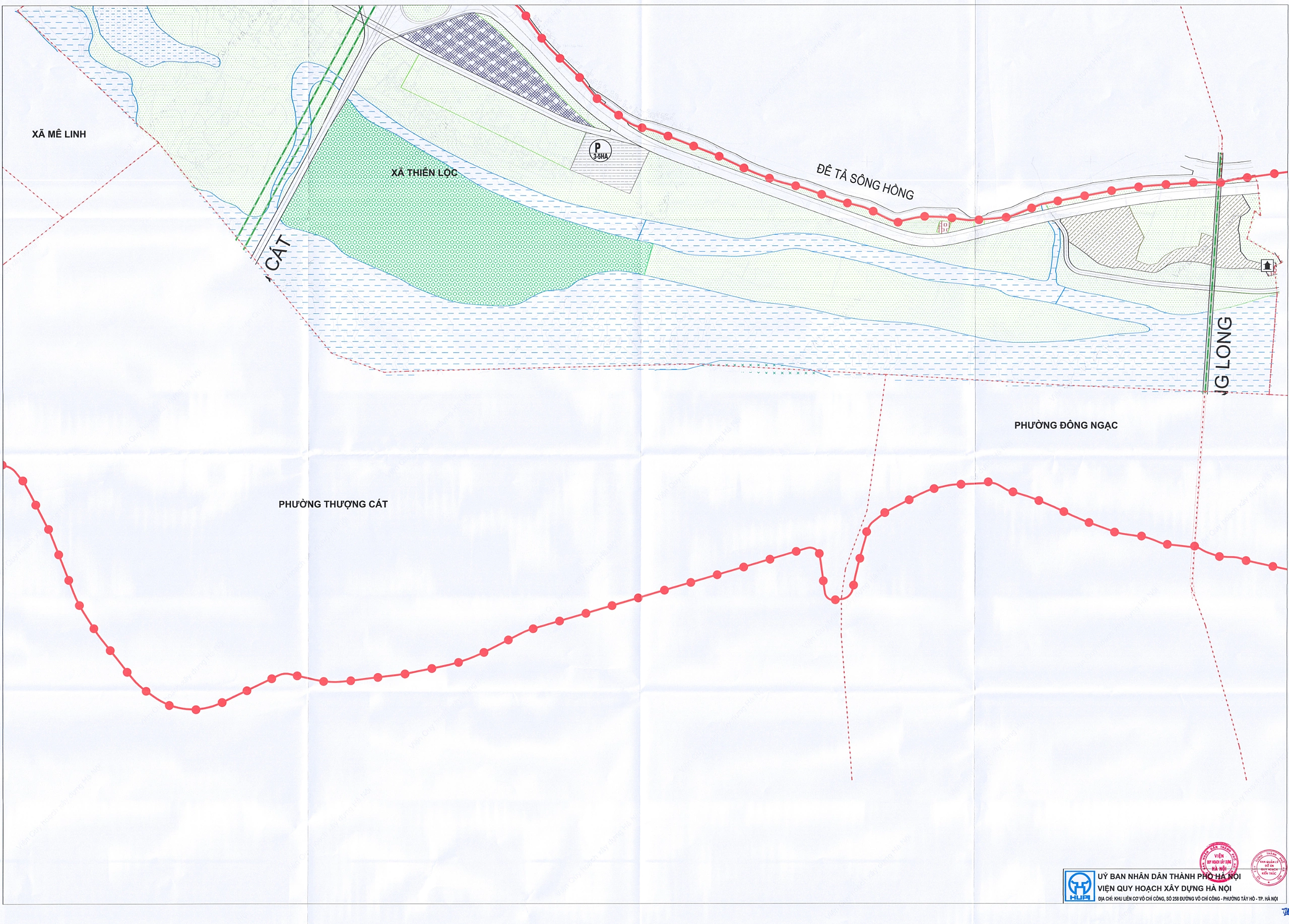
Thien Loc commune, covering 27.96 km2 with a population of nearly 75,000, was formed from six former communes belonging to Dong Anh and Me Linh districts. Under the master plan, development is concentrated along transport axes, interspersed with residential land, public facilities, and urban development areas. The section facing the river is primarily maintained as green space, agricultural land, waterways, and ecological areas. Thien Loc currently hosts the Thang Long Industrial Park and is located along the corridor connecting to Noi Bai airport, facilitating the development of industry, transport, and logistics.
 |
Bat Trang excels in ceramics, serving both domestic and export markets. Its agriculture is notable for the Van Duc vegetable region, which supplies Hanoi and neighboring provinces, with many areas certified to VietGAP standards. |
 |
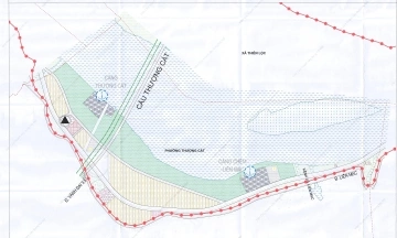
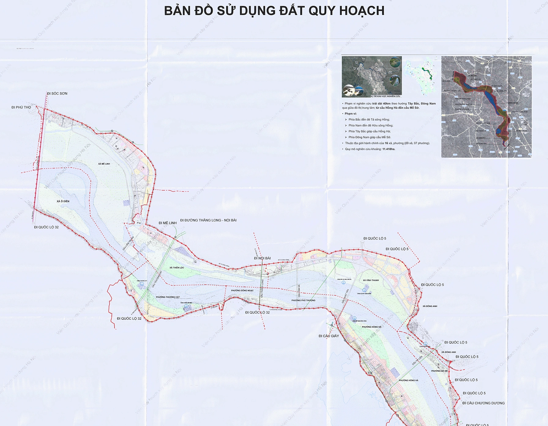
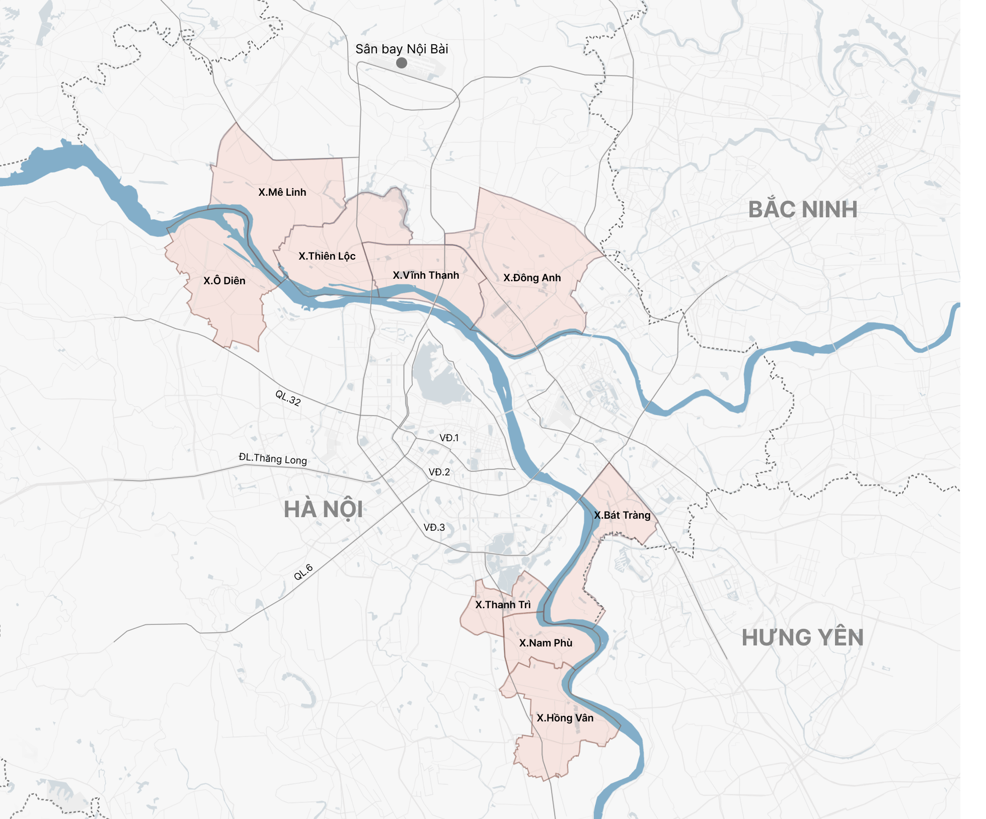
Overall map of communes and wards within the Red River Urban Subdivision. |
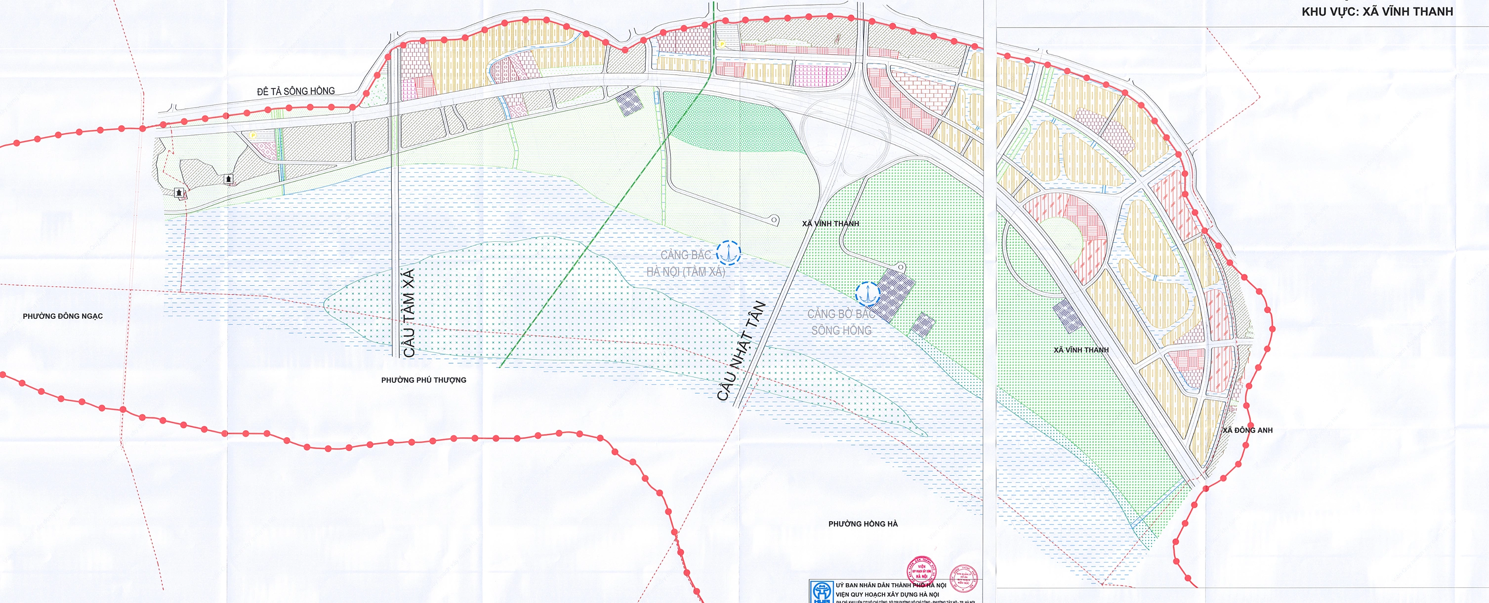
Vinh Thanh commune spans 22.52 km2 and has a population of approximately 65,000. It was formed from six former communes within Dong Anh district. According to the land use master plan, the commune's urban areas are concentrated along the left dike of the Red River and major transport axes. To the north, residential clusters and public facilities are planned, connecting to the transport network. The floodplain areas along the river are primarily preserved as green spaces, agricultural land, and waterways. Vinh Thanh's riverside floodplains are ideal for cultivating ornamental plants, with Tam Xa craft village renowned for its kumquat, orange, and ornamental pomelo trees. Trade and service activities are concentrated along major roads.
 |
Nine communes located within the Red River urban subdivision. Graphic: Hoang Khanh |
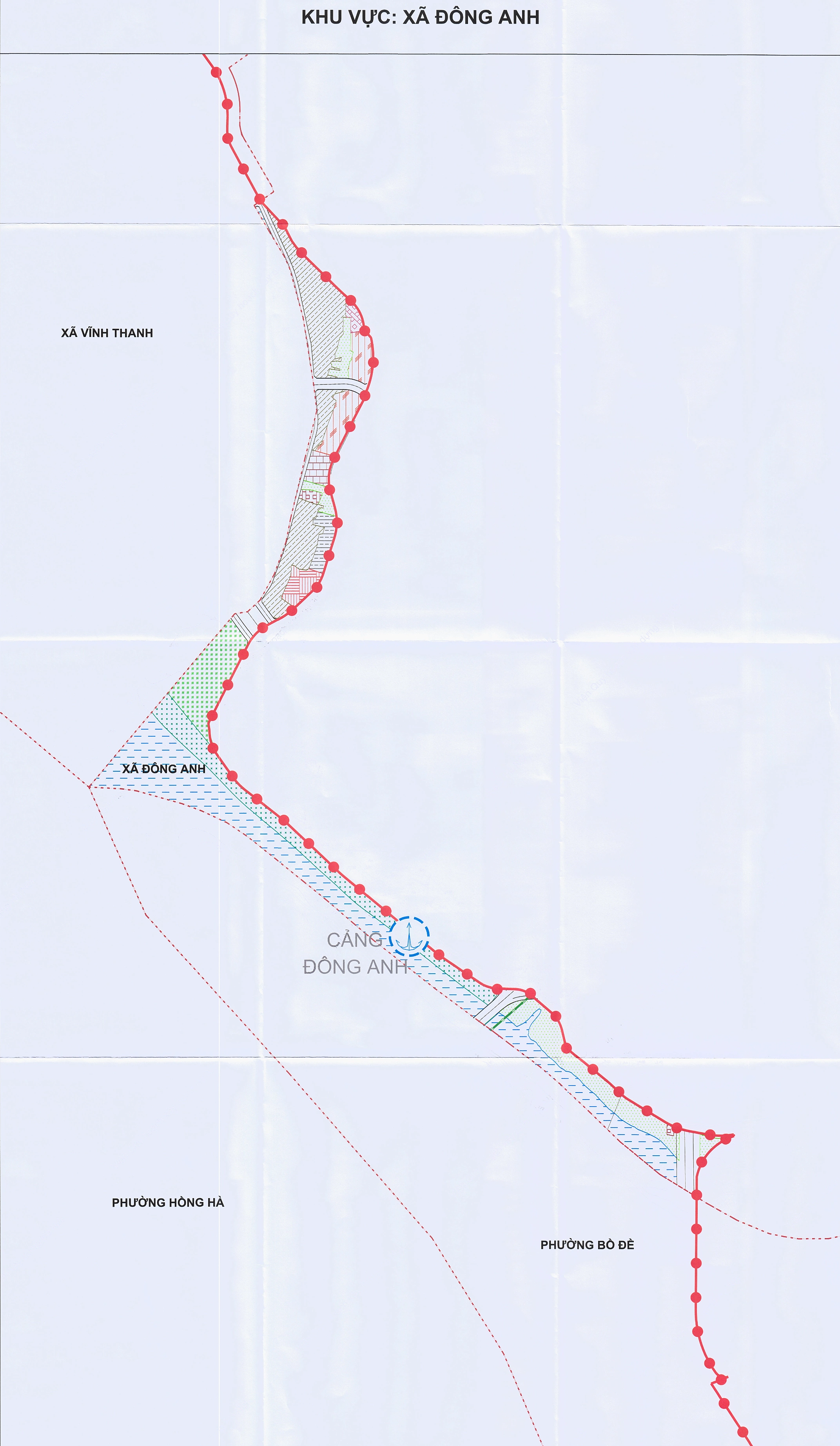
Dong Anh commune, with an area of 48.68 km2 and a population of approximately 118,000, was formed from 12 former communes and towns in Dong Anh district. The master plan organizes the commune's space into interwoven functional zones, including residential land, public facilities, green spaces, sports facilities, and open areas. Existing structures such as schools, religious establishments, and parking lots are integrated into the new spatial network. Dong Anh's economic structure is shifting towards an increased proportion of trade-service and industry-construction. The area includes the Duc Tu industrial cluster, known for its iron and steel craft village, a system of markets, commercial centers, and the Co Loa relic, creating potential for cultural-historical tourism development.
 |
 |
 |
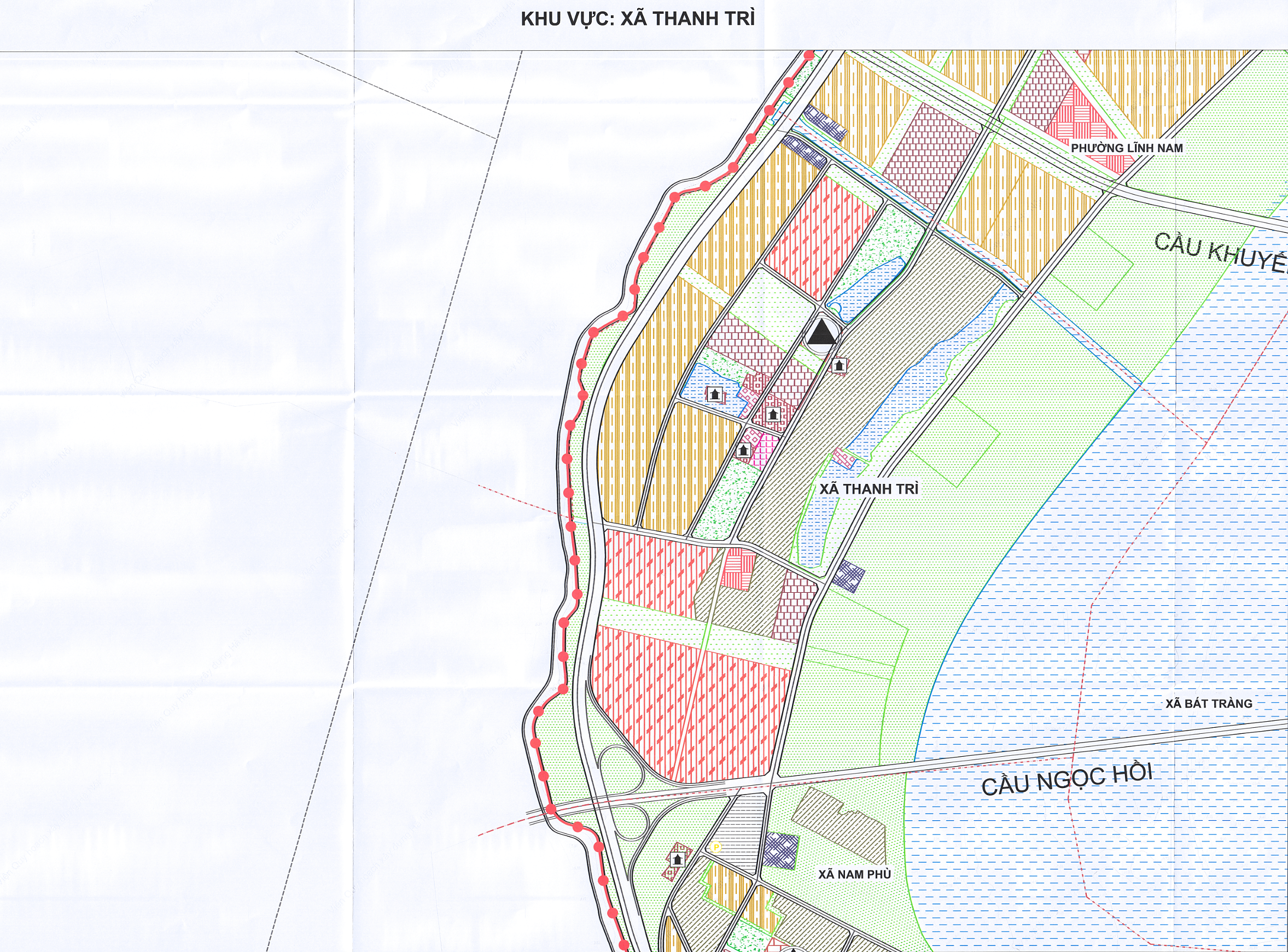 |
Thanh Tri commune covers 9.94 km2 with a population exceeding 51,000. It borders Bat Trang, Dai Thanh, Ngoc Hoi, Nam Phu, Phap Van - Cau Gie, Yen So, and Linh Nam wards and communes. According to the master plan, Thanh Tri is designated for development as a riverside urban area with residential, public, service, green, and waterway functions. Development clusters are arranged along the main transport route running parallel to the Red River dike; the river floodplain area continues to maintain significant space for green areas, agriculture, and waterways. Trade-service and logistics are key economic sectors, with a developed system of warehouses and freight transport benefiting from its advantageous location. Industry and small-scale industry also play an important role, with facilities for mechanics, construction materials, and the Van Dien phosphate fertilizer plant.
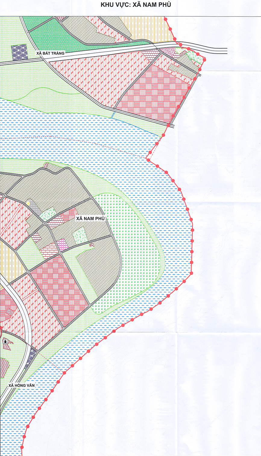 |
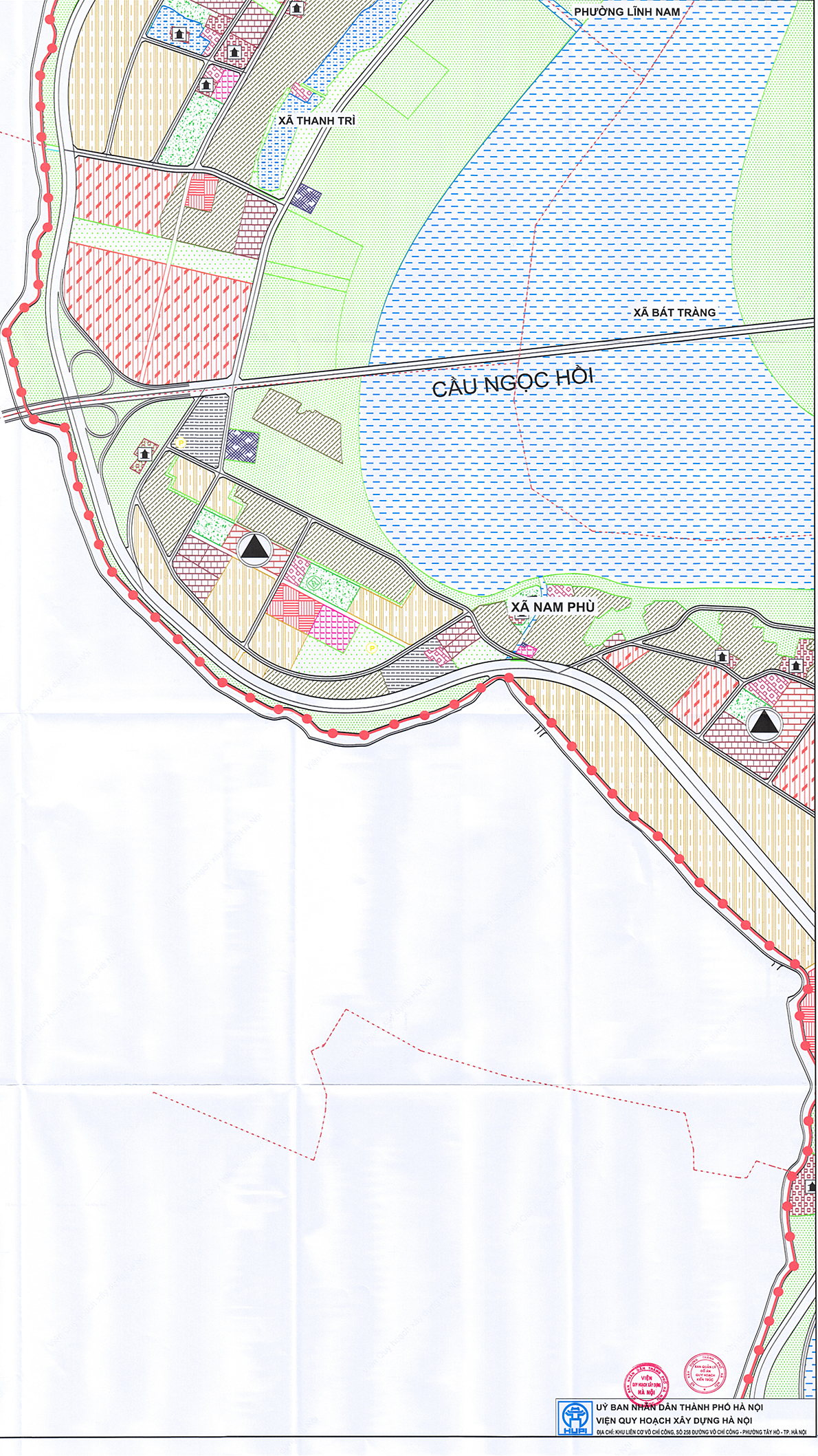
Nam Phu commune, with an area of 13.74 km2 and a population of nearly 43,000, borders Thanh Tri, Ngoc Hoi, Hong Van, Bat Trang communes and Hung Yen province. The master plan directs Nam Phu's urban development to be integrated with a transport hub and a riverside ecological corridor. To the north, bordering Thanh Tri and Bat Trang, residential areas, public facilities, and urban development zones are concentrated, connected by an internal road network. The riverside strip is primarily allocated for waterways, green spaces, and agriculture. Existing residential areas and facilities are interspersed with new functional zones along transport axes. Nam Phu has strengths in trade-service, small-scale industry, and logistics, with planned transshipment areas, parking lots, warehouses, and wholesale markets. Small-scale craft industries include woodworking, mechanics, garment manufacturing, and agricultural product processing.
 |
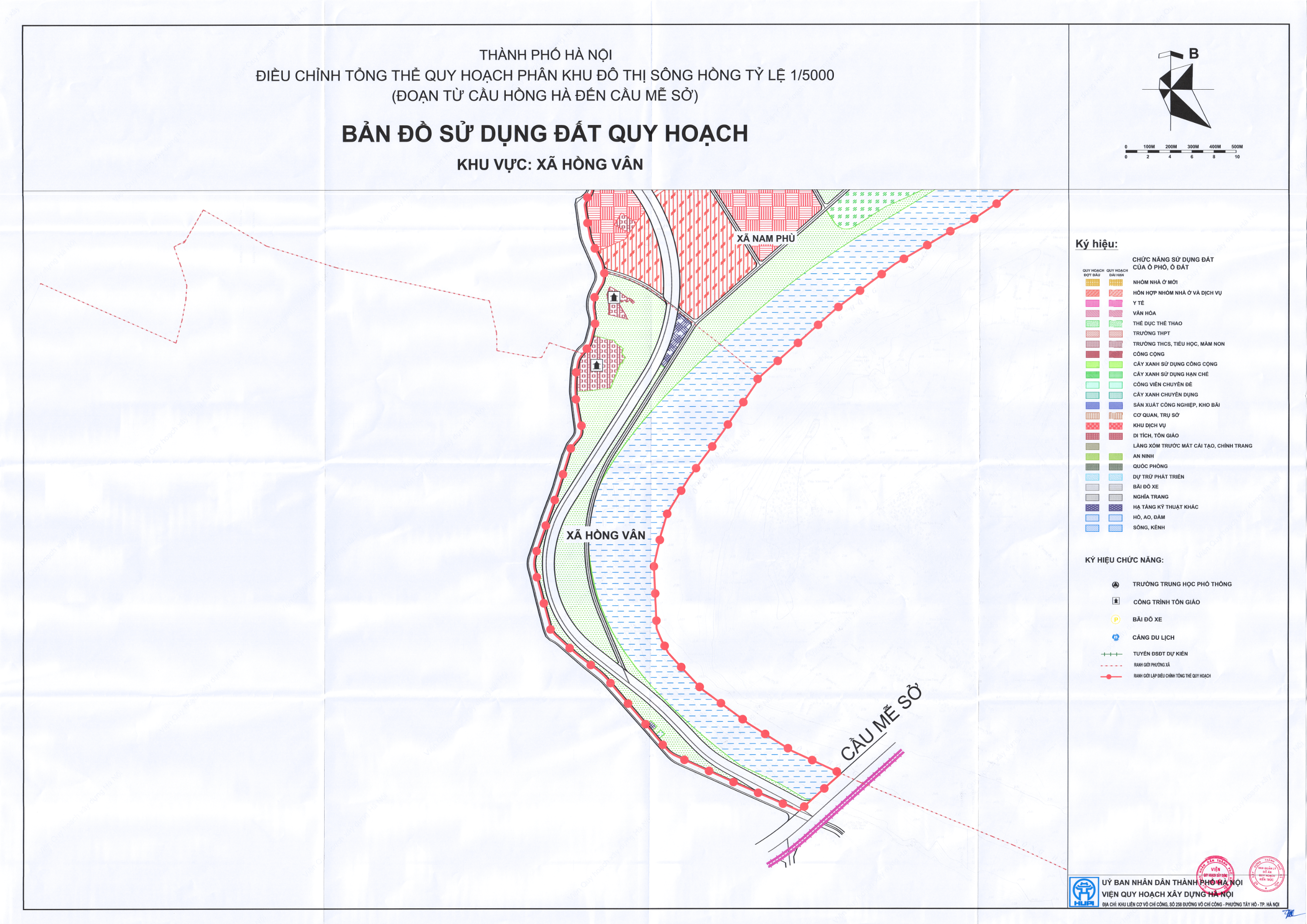 |
Hong Van commune covers 24.53 km2 with a population of approximately 59,000. It borders Nam Phu, Ngoc Hoi, Thuong Tin, Thuong Phuc, Chuong Duong communes and Hung Yen province. According to the master plan, Hong Van is primarily designated as an ecological space and riverside landscape. To the north, bordering Nam Phu commune, residential areas and some public facilities are planned. The remaining area between the dike-side transport route and the Red River corridor is mainly allocated for green spaces, agriculture, and waterways. The local economy is strong in craft villages and industry. Ha Thai lacquerware village produces products for both domestic consumption and export. The commune has five industrial clusters, with main products including packaging, electrical equipment, and consumer goods.
 |
 |
 |
Son Ha
Photo: Hanoi People's Committee