On 23/5, the Vung Tau Ward People's Committee mobilized dozens of officials and volunteers. They used cutting machines and saws to clear bushes and level a road section over 300 m long and about 3 m wide. This work took place through the Ho May tourist area at the end of alley 444 Tran Phu.
Once completed, this section will connect to the south gate of the Ho May tourist area and open onto Vi Ba Street, linking the entire road through Nui Lon.
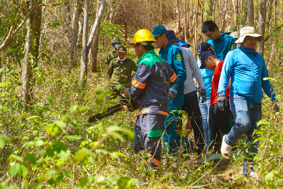 |
Construction workers clearing the road section at the end of alley 444 Tran Phu on Nui Lon. Photo: Hoang Ngoc |
Nui Lon, also known as Nui Tuong Ky, is one of the two mountains surrounding central Vung Tau. It stands nearly 250 m high and spans approximately 600 hectares. The area offers numerous viewpoints overlooking Ganh Rai Bay and the East Sea, along with historical sites such as Bach Dinh, and ancient artillery and torpedo emplacements.
Roads like Vi Ba Street, alley 444 Tran Phu, and various mountain trails have long attracted residents for walking, cycling, and trekking in the early mornings or on weekends. However, the mountain's road system was not cohesively connected with its attractions and historical sites, causing inconvenience for both residents and tourists.
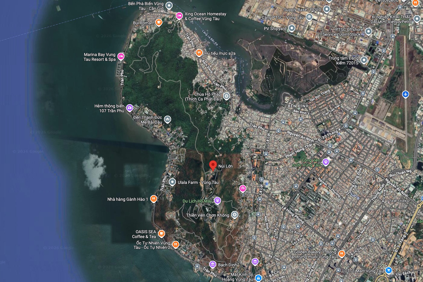 |
Location of Nui Lon on Google Maps. |
According to the Vung Tau Ward People's Committee, once the route is open, authorities will have greater ease in patrolling, accessing fire scenes, and creating firebreaks. This will significantly reduce the risk of forest fires during the dry season.
Local authorities also hope the route will contribute to developing new eco-tourism products. It will connect mountain attractions with coastal areas, effectively leveraging Vung Tau's unique landscape.
Truong Ha